The best MTB trails around Obersteinbrunn
4.5
(587)
2,252
riders
324
rides
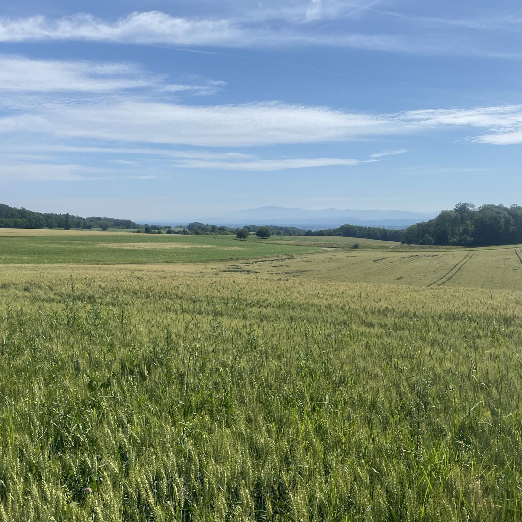
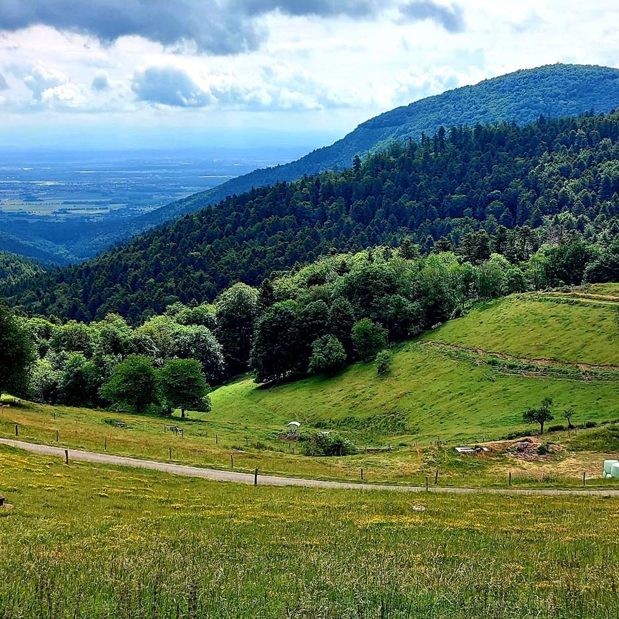
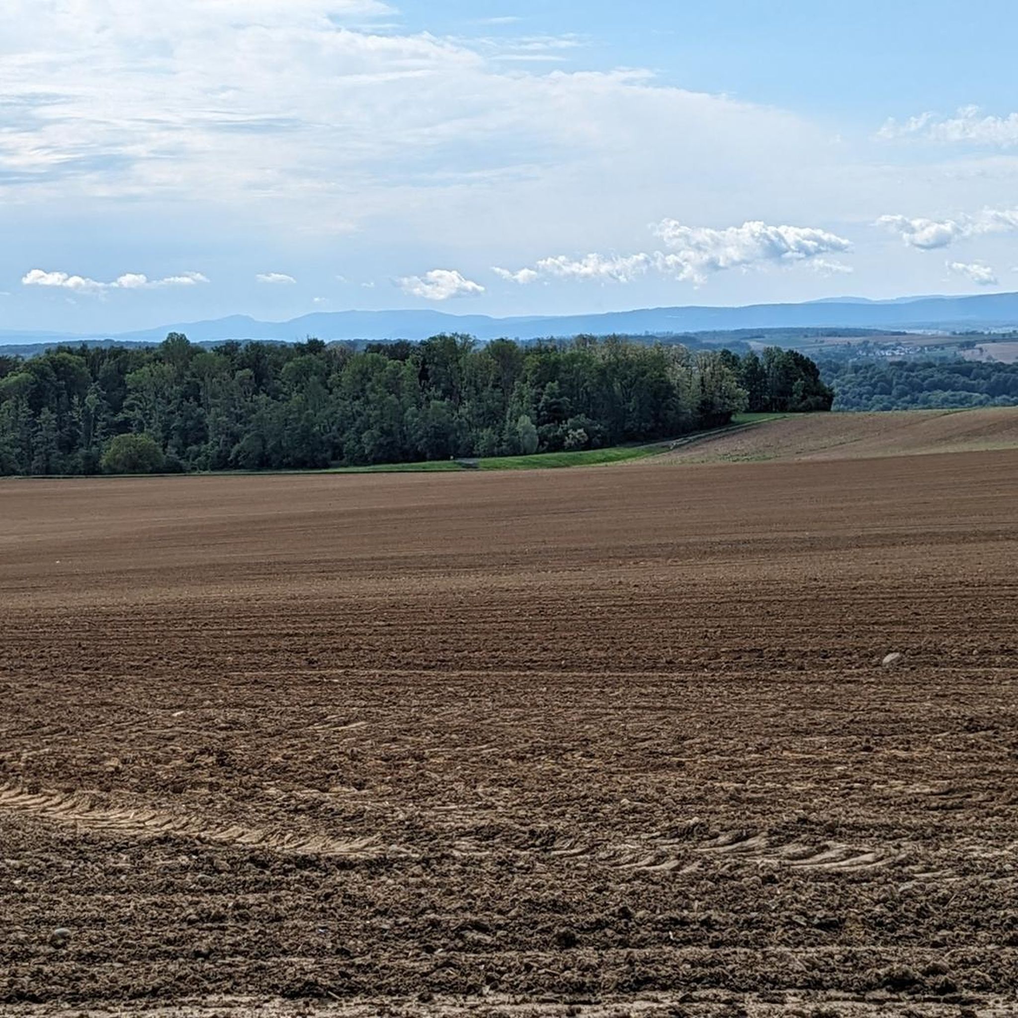
Mountain biking around Obersteinbrunn offers a diverse landscape for riders. The region features varied elevations, from gentle slopes to more significant climbs, with routes traversing forested areas and open terrain. Trails often connect historical sites and offer scenic views, including distant mountain ranges. The area provides a network of paths suitable for different skill levels.
Best mountain bike trails around Obersteinbrunn
- The most popular mountain bike trail is Grand Cannon of Zillisheim – The chapel path loop from Flaxlanden,…
Last updated: October 11, 2026
4.8
(5)
41
riders
49.0km
04:24
840m
840m
Moderate mountain bike ride. Good fitness required. Advanced riding skills necessary.
4.5
(11)
42
riders
24.8km
02:20
450m
450m
Moderate mountain bike ride. Good fitness required. Suitable for all skill levels.

3.8
(6)
23
riders
35.0km
02:49
420m
410m
Moderate mountain bike ride. Good fitness required. Advanced riding skills necessary.
3.8
(6)
20
riders
30.4km
02:24
370m
370m
Moderate mountain bike ride. Good fitness required. Suitable for all skill levels.
4.6
(7)
32
riders
29.3km
02:47
540m
540m
Moderate mountain bike ride. Good fitness required. Advanced riding skills necessary.
Get access to more routes and recommendations from other explorers.
Already have an account?
Our route recommendations are based on thousands of hikes, rides, and runs completed by other people on komoot.
Start today with a free account
Your next adventure awaits.


Tips from the Community

Albert-Lucie Memorial The memorial near Heidwiller commemorates the French soldier Alfred „Albert“ Lucie, who fell in 1917 during the First World War at the age of just 20 in the Schönholz area. Lucie came from Nancy and belonged to the 60th Battalion of Chasseurs à pied, a French hunter unit. The Schönholz was part of the front in southern Alsace during the First World War. Traces of the fighting at the time are still preserved in the woods today, including former trenches and communication trenches. Relatives of Albert Lucie searched for the place of his death many decades later and, together with local history enthusiasts, were able to locate the spot where he had presumably fallen. The memorial thus stands not only for the fate of an individual soldier but also commemorates the numerous fallen whose deaths are difficult to reconstruct today. It is particularly noteworthy that the memory of Albert Lucie was revived by his family, thereby also bringing the history of the fighting in the Schönholz more into public awareness. Further information: DNA – Sur les traces d’un Poilu lorrain tombé au Schönholz or https://gw.geneanet.org/christianlucie?lang=fr&n=lucie&p=alfred+albert
0
0

A 360° view of all the surrounding massifs. A viewpoint renowned, as evidenced by the sign referring to Frédéric Guillaume de Hohenzollern.
0
0

The cannon must have been huge. It had a range of up to 40 km. It terrorized the inhabitants of Belfort. This was the response to the bombing of Freiburg, among other places. It was then used as a feint to distract from the attack on Verdun.
0
0
The German soldiers who died in the Battle of Mühlhausen in August 1914 are buried there, including the first casualty of World War I. It's a bit off the beaten track and very well maintained.
0
0

Beneath the forest canopy, you can discover numerous traces of bygone times, still visible or legible; only the "barracks" have disappeared. During a guided tour with one of the site's enthusiastic volunteers, you can explore the underground tunnels and discover the organization of this impressive military infrastructure. Of course, you can also visit the surface infrastructure yourself, following the marked route, where the panels provide detailed explanations. An application, "Site du Grand Canon de Zillisheim," is also available for download.
5
0
The Illfurth German War Cemetery was established by the French military authorities in April 1920. As a collective cemetery, it housed some of the fallen soldiers from the battles of August 7 and 17, 1914. The transfer of war dead to Illfurth, who had been provisionally buried in 64 municipalities and districts during the war or who had died in French captivity, ended in 1924. Among those reburied was the first German casualty of the 1914-1918 War on the Western Front, Lieutenant Albert Mayer, who fell on August 2, 1914, while on patrol. The first French soldier also lost his life in this battle. Several memorials erected in field cemeteries during the war were also relocated to Illfurth.
8
0

The 38 cm Schnellladekanone L/45 (38 cm S.K. L/45) was a gun used by the Imperial Navy and the German Army during World War I. Originally designed as a naval gun, it was also used on land under the designation 38 cm Geschütz Max or Langer Max. The "38 cm SK L/45" had a barrel with an inner diameter of 38 cm, making it one of the largest calibers used at the time. Its range was up to 48 km. Between 1915 and 1916, the German army installed a naval gun called the "Langer Max" in the Zillisheim Forest. This gun, designed to fire long bursts at Belfort and the Saint Amarin Valley, was actually a diversionary plan....
1
0

The castle fits nicely into the panorama. But I didn't go there.
0
0
Frequently Asked Questions
How many mountain bike trails are available around Obersteinbrunn?
There are over 370 mountain bike trails around Obersteinbrunn listed on komoot, offering a wide variety of options for different skill levels and preferences.
Are there easy mountain bike trails suitable for beginners in Obersteinbrunn?
Yes, Obersteinbrunn offers over 100 easy mountain bike routes. A great option for beginners is the Mulhouse Station – Petit Séminaire de Zillisheim loop from Zillisheim, which is 17.4 km long and features minimal elevation gain.
What are the options for advanced mountain bikers in Obersteinbrunn?
For advanced riders seeking a challenge, there are 19 difficult mountain bike trails. These routes typically feature more significant climbs and technical descents. You can find these more demanding options by filtering for 'difficult' trails on komoot.
What is the typical length and duration of mountain bike trails around Obersteinbrunn?
Trail lengths vary significantly, from shorter rides under 10 km to longer tours exceeding 40 km. For example, the Grand Cannon of Zillisheim – The chapel path loop from Flaxlanden is 48.2 km and takes about 4 hours 15 minutes, while the Nice trailhead – View of the Alps loop from Flaxlanden is 24.7 km and takes around 2 hours 20 minutes.
Are there family-friendly mountain bike trails in Obersteinbrunn?
Many of the easy and moderate trails around Obersteinbrunn are suitable for families, especially those with less challenging terrain and shorter distances. Look for routes with lower elevation gains and well-maintained paths for a pleasant family outing.
What kind of views can I expect on mountain bike trails in Obersteinbrunn?
The region offers diverse scenery, including forested areas, open terrain, and often scenic views of distant mountain ranges, including glimpses of the Alps on routes like the Nice trailhead – View of the Alps loop from Flaxlanden.
Are there any loop mountain bike trails around Obersteinbrunn?
Yes, many of the mountain bike trails in Obersteinbrunn are designed as loops, allowing you to start and end at the same point. Examples include the Grand Cannon of Zillisheim – The chapel path loop from Flaxlanden and the Petit Séminaire de Zillisheim – Litten Chapel loop from Flaxlanden.
What can I see along the mountain bike trails around Obersteinbrunn?
Many routes pass by interesting natural monuments and historical sites. You might encounter highlights such as the Grand Cannon of Zillisheim, the Motte Castrale de Willer, or the The Great Oak. Some trails also follow sections of the Rhône–Rhine Canal.
What do other mountain bikers enjoy most about the trails in Obersteinbrunn?
The mountain bike trails in Obersteinbrunn are highly rated by the komoot community, with an average score of 4.5 stars from over 500 reviews. Riders frequently praise the varied terrain, the mix of forested and open sections, and the options available for different ability levels.
When is the best time of year for mountain biking in Obersteinbrunn?
Spring, summer, and autumn generally offer the best conditions for mountain biking in Obersteinbrunn, with pleasant temperatures and drier trails. While some trails may be accessible in winter, conditions can be challenging due to snow or ice, especially on higher elevations or shaded paths.
Are there mountain bike trails that pass by cafes or places to eat in Obersteinbrunn?
While specific cafes on trails are not always guaranteed, many routes pass through or near villages and towns where you can find refreshment stops. Planning your route with komoot allows you to check for points of interest like cafes along your chosen path.
Are there any hidden gem mountain bike trails in Obersteinbrunn?
While popular routes like the Hausgauen seppois – Ancient Roman camp loop from Wahlbach offer great experiences, exploring some of the less-trafficked moderate trails can lead to quieter, equally rewarding rides through the region's diverse landscapes.
What are the parking options for mountain biking in Obersteinbrunn?
Many trailheads and starting points in and around Obersteinbrunn offer designated parking areas. It's advisable to check the specific route details on komoot for information on parking availability at the start of your chosen trail.
Most popular routes around Obersteinbrunn
Most popular attractions around Obersteinbrunn

Get inspired with the komoot mobile app


Explore more
Browse the best MTB trails in other regions.
