The best walks and hikes around Wittersdorf
4.6
(440)
2,283
hikers
335
hikes
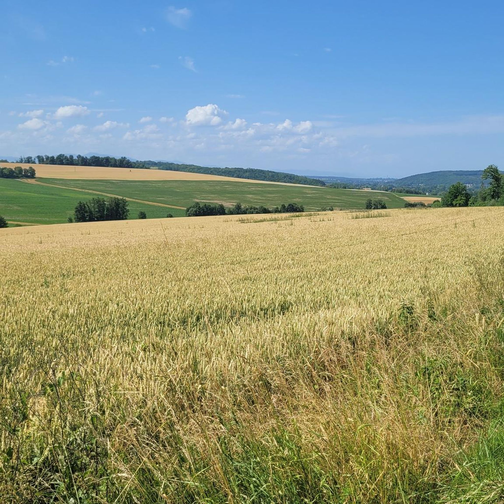
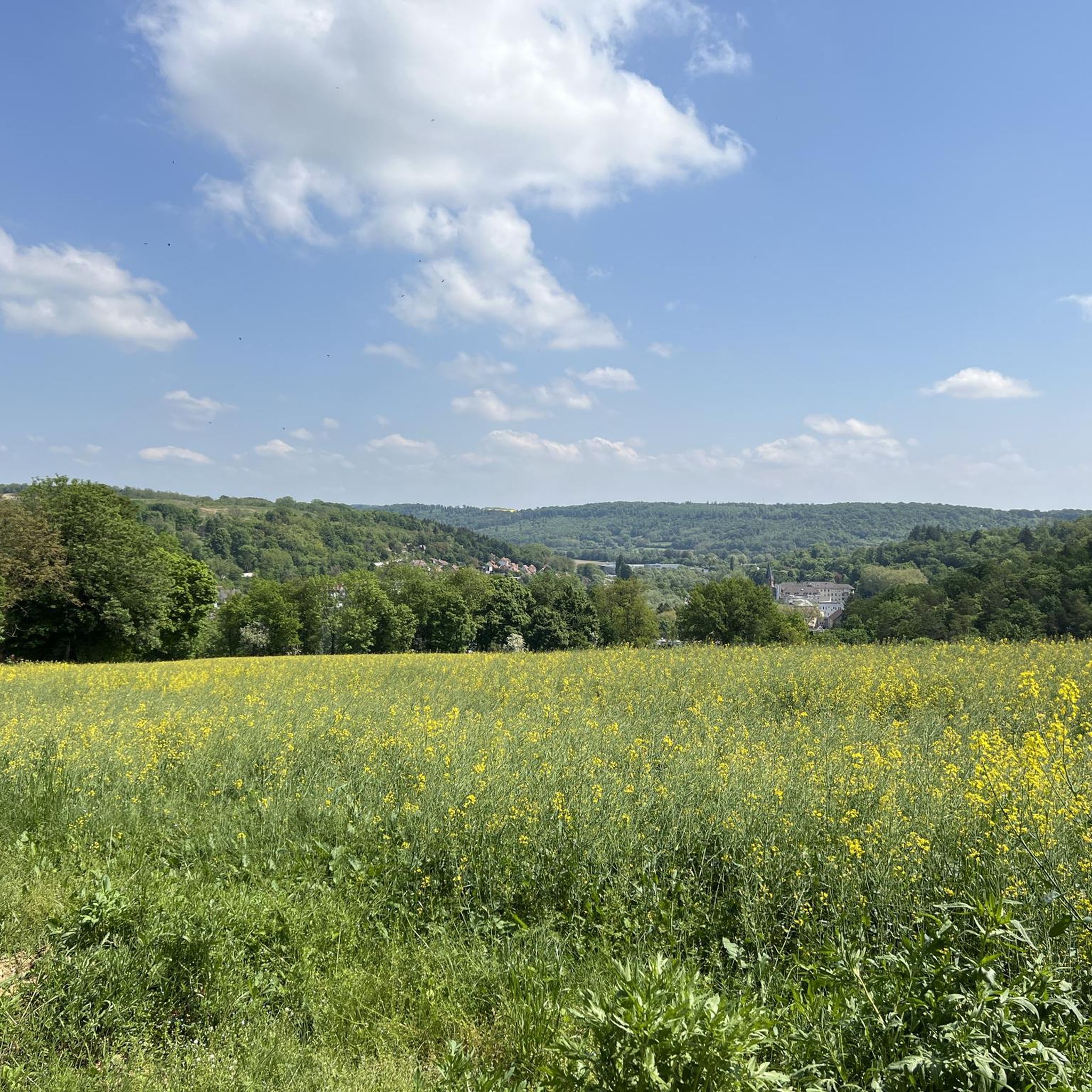
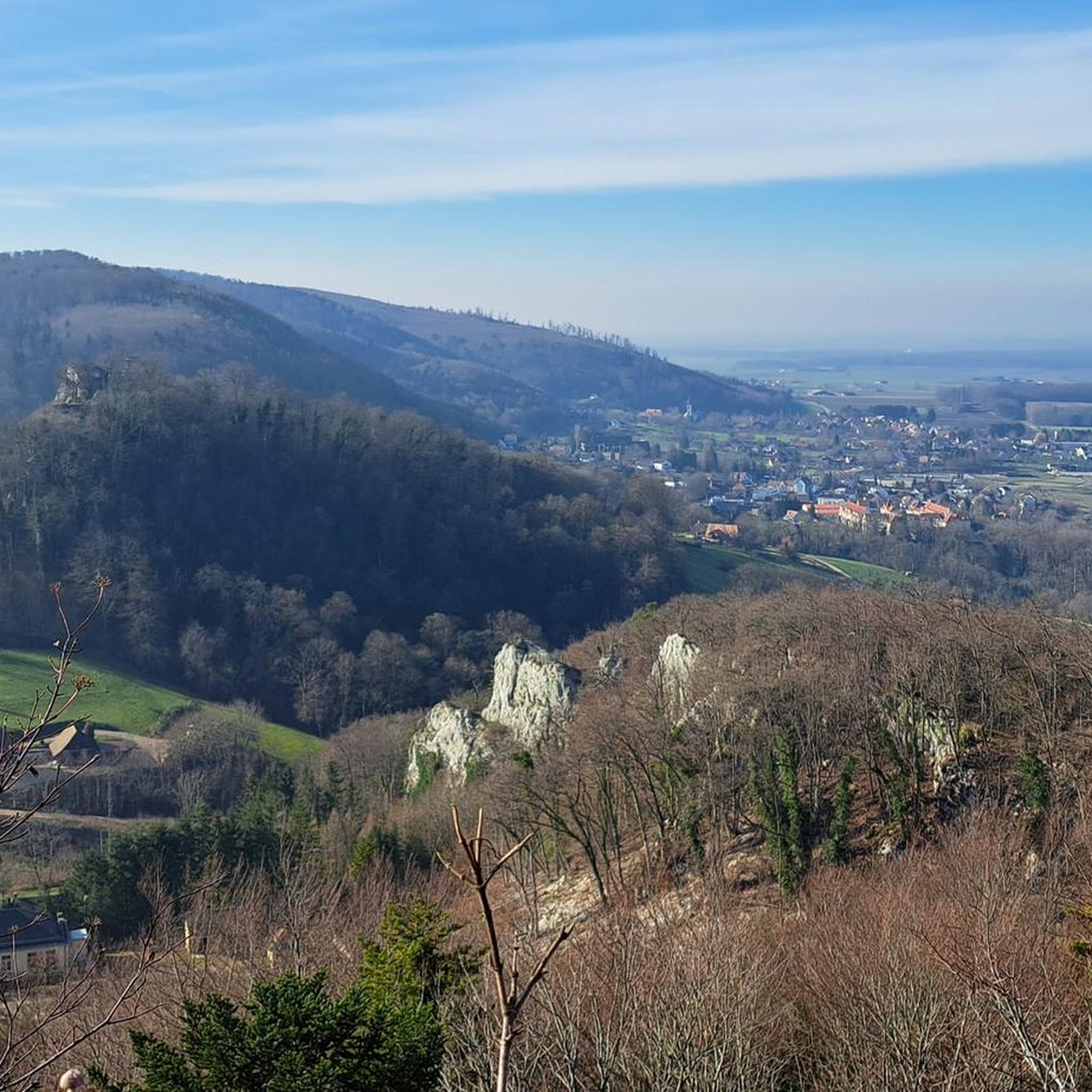
Hiking around Wittersdorf offers access to the diverse natural landscapes of the Sundgau region in Alsace, France. The area features a mix of natural and agricultural scenery, characterized by forests, tranquil ponds, and former vineyards. From various vantage points, hikers can find panoramic views, including distant sights of the Vosges mountains. The terrain includes wooded hills and varied paths suitable for outdoor exploration.
Best hiking trails around Wittersdorf
- The most popular hiking route is Viewpoint loop from Wittersdorf, a…
Last updated: October 5, 2026
4.6
(7)
25
hikers
8.31km
02:26
220m
220m
Moderate hike. Good fitness required. Easily-accessible paths. Suitable for all skill levels.
4.0
(5)
18
hikers
6.12km
01:41
100m
100m
Easy hike. Great for any fitness level. Easily-accessible paths. Suitable for all skill levels.

5.0
(1)
19
hikers
11.7km
03:07
130m
130m
Moderate hike. Good fitness required. Easily-accessible paths. Suitable for all skill levels.
4.5
(2)
21
hikers
9.57km
02:33
110m
110m
Moderate hike. Good fitness required. Easily-accessible paths. Suitable for all skill levels.
16
hikers
5.64km
01:31
70m
70m
Easy hike. Great for any fitness level. Easily-accessible paths. Suitable for all skill levels.
Get access to more routes and recommendations from other explorers.
Already have an account?
Our route recommendations are based on thousands of hikes, rides, and runs completed by other people on komoot.
Start today with a free account
Your next adventure awaits.
Tips from the Community

At the gate, a so-called Borne Vauthier can be seen in the middle. These memorial stones mark the course of the Western Front in World War I and, in particular, the position that German troops had reached on July 18, 1918 – the furthest extent of their advance at that time. The stones are named after the French sculptor and former soldier Paul Moreau-Vauthier. A total of 118 such Bornes were created between 1921 and 1927: 96 in France and 22 in Belgium. Originally, significantly more locations were planned. The stones were erected along a front line from the Belgian coast to the Franco-Swiss border. The monoliths, about one meter high, are mostly made of pink granite. On their top, there is a soldier's helmet on a laurel wreath. The sides depict typical soldier's equipment, including a gas mask, a canteen, and hand grenades. Many stones bear the inscription “Ici fut repoussé l’envahisseur 1918” – “Here the invader was repulsed in 1918”. The Bornes Vauthier are therefore not only monuments but also historical landmarks: they make the former front line visible in the terrain and commemorate the battles of 1918. However, it is important to note that they are not located exactly on the former front line everywhere, as some stones were moved for practical reasons, for example, to roads or intersections.
0
0

The site is in the middle of the forest, but a good path makes access easy.
0
0


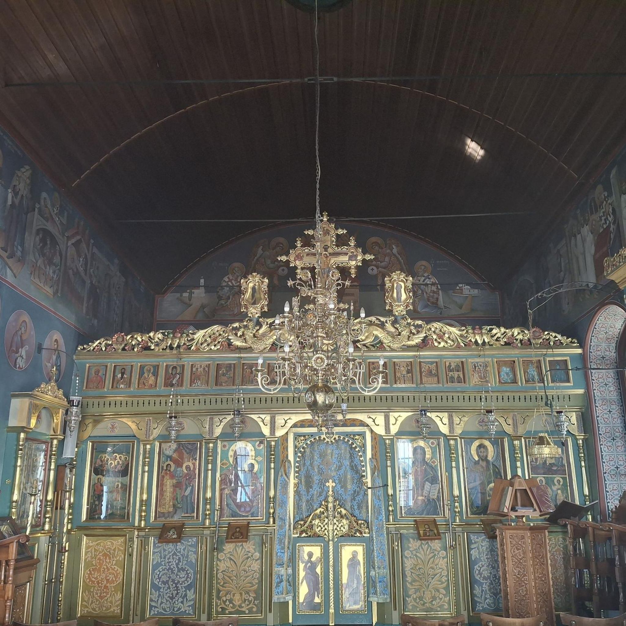
Instead of the busy main road, there is a beautiful cycle path through Wittersdorf "in the back". The climb to the church is short but tough and therefore worth a detour for the change.
0
0
Abri du Vigneron: this construction served as a shelter for the guards responsible for monitoring the vineyard at harvest time
0
0
Description found on the Alsace Heritage Inventory website: The site, in the forest, is made up of several ruined buildings (lime kilns and housing buildings) located on either side of a path. The whole forms a valley approximately 6 meters deep. Several lime kilns are aligned on one side of the valley, each including: 2 low furnaces buried in the lower part (base of the device surrounded by a small embankment) which was originally covered by a wooden frame of which it remain the crows in the wall; loading of the blast furnace was done through the mouth made at its top (at the level of the top of the valley). The inner tank has the shape of a well built of bricks. Two buildings (probably housing) rise on the other side of the valley, each 1 storey, made of rubble, with window frames in yellow sandstone. Metal beams supported the floor.
0
0

Wittersdorf is a village in the Alsace region of northeastern France. Surrounded by picturesque landscapes, it offers a peaceful atmosphere and a glimpse of the local Alsatian culture. With its charming streets, traditional architecture and proximity to nature.
1
0

Hirsingue is a dynamic Alsatian village. Culture, monuments, shops, walks, services... It is undoubtedly an excellent site for finding accommodation and discovering Sundgau.
0
0
Frequently Asked Questions
What kind of terrain can I expect on hiking trails around Wittersdorf?
The trails around Wittersdorf are characterized by the diverse "Sundgauvian nature" of Alsace. You'll find a mix of natural and agricultural scenery, including picturesque forests, tranquil ponds, and paths through former vineyards. The terrain often involves wooded hills, offering varied walking experiences.
Are there many easy hiking options in Wittersdorf?
Yes, Wittersdorf offers a good selection of easy hiking trails. Out of over 300 routes in the area, 131 are classified as easy. An example is the Wittersdorf – The Great Oak loop from Wittersdorf, which is 7.1 km long and features gentle elevation changes.
Can I find trails with good viewpoints in the Wittersdorf area?
Absolutely. The region around Wittersdorf is known for its panoramic views. Many trails lead to vantage points where you can see across the Sundgau landscape, towards the Vosges mountains, and even landmarks like the Notre-Dame d'Altkirch church. The Viewpoint loop from Wittersdorf is a popular easy route specifically designed to showcase these scenic vistas.
Are there any historical or cultural points of interest along the hiking routes?
Yes, the area blends natural beauty with cultural heritage. Some trails pass through former vineyards, and you might encounter historical sites like the Winzerhauesle, where winemakers once stored their grapes. Additionally, you can explore nearby attractions such as the Grand Cannon of Zillisheim or the historic Chapelle Saint-Martin.
What do other hikers say about the trails in Wittersdorf?
The hiking routes in Wittersdorf are highly regarded by the komoot community, holding an average rating of 4.5 stars from over 300 reviews. Hikers often praise the well-maintained paths, the diverse scenery of forests and vineyards, and the tranquil atmosphere of the Sundgau region.
Are there any longer, more challenging hikes available?
While many trails are easy to moderate, there are options for longer excursions. For instance, the Memorial Bench in the Forest loop from Tagsdorf is a moderate 17.7 km path that provides a more extended immersion into the Sundgau forests, with an elevation gain of over 240 meters.
Are there circular hiking routes around Wittersdorf?
Yes, many of the hiking opportunities around Wittersdorf are designed as circular routes, allowing you to start and end in the same location. Examples include the Wittersdorf – Winegrower's shelter loop from Wittersdorf, which covers 9.2 km through varied terrain.
What is the best time of year to go hiking in Wittersdorf?
The Alsace region, including Wittersdorf, offers beautiful hiking experiences across multiple seasons. Spring brings blooming landscapes, while autumn showcases vibrant fall foliage in the forests and vineyards. Summer is ideal for longer days, and even winter can be charming for walks, especially around features like the Nieder Weiher pond, though specific winter trail conditions should be checked.
Are there any specific natural features or landmarks to look out for?
Beyond the panoramic views, hikers can discover tranquil ponds nestled within the forests, and the unique aesthetic of former vineyards. The region's "Sundgauvian nature" itself is a highlight, offering a blend of natural and agricultural beauty. You might also encounter the Zillisheim Drawbridge and Lock No. 35 or the Eglingen Lock if your route takes you near the canals.
How many hiking trails are there in the Wittersdorf area?
There are over 300 hiking routes available around Wittersdorf, catering to a wide range of abilities. This includes 131 easy trails, 173 moderate routes, and 20 more challenging options, ensuring there's something for every hiker.
Are the hiking trails in Wittersdorf well-marked?
Yes, the walking routes in the Sundgau area, including those around Wittersdorf, are generally well-marked. Many trails are maintained and signposted by organizations like the Vosges club, making navigation straightforward for hikers.
Most popular routes around Wittersdorf
Most popular attractions around Wittersdorf

Get inspired with the komoot mobile app


Explore more
Browse the best Hikes in other regions.
