The best road cycling routes around Sierenz
4.5
(297)
4,858
riders
21
rides
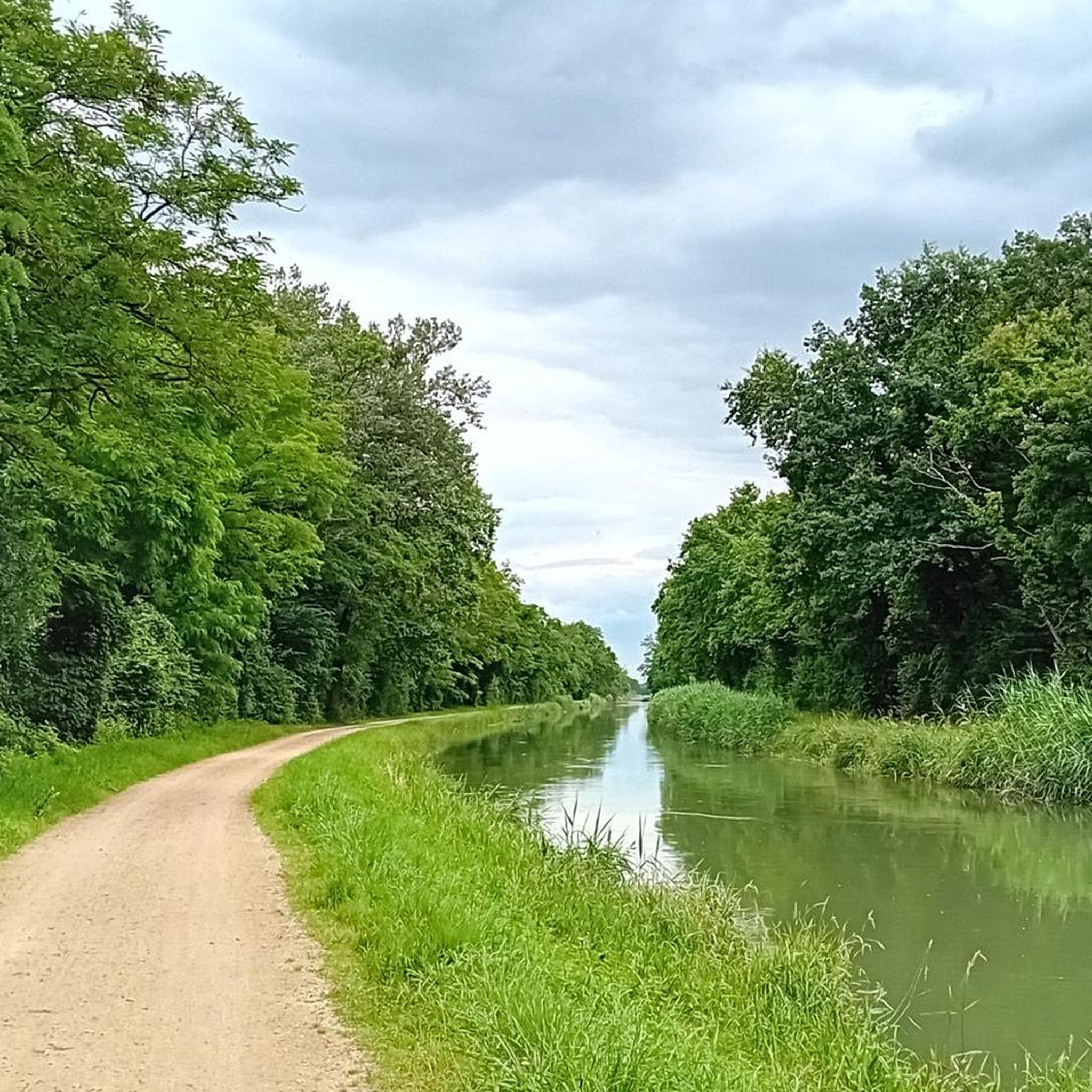
Road cycling routes around Sierenz feature a diverse landscape, ranging from the rolling hills of the eastern Sundgau to flat, biodiverse wetland areas. The region is characterized by extensive forest areas, such as the Forêt Domaniale de la Hardt, and numerous waterways like the Canal du Rhône au Rhin and Canal de Huningue. Cyclists can navigate through agricultural lands and along well-maintained paths, encountering varied terrain suitable for different skill levels.
Best road cycling routes around Sierenz
- The most popular…
Last updated: October 11, 2026
4.7
(3)
94
riders
54.1km
02:20
360m
360m
Moderate road ride. Good fitness required. Mostly well-paved surfaces and easy to ride.
4.9
(16)
76
riders
49.9km
02:09
380m
380m
Moderate road ride. Good fitness required. Mostly well-paved surfaces and easy to ride.

4.0
(1)
32
riders
28.3km
01:14
70m
70m
Easy road ride. Great for any fitness level. Mostly well-paved surfaces and easy to ride.
14
riders
154km
07:25
1,810m
1,810m
Hard road ride. Very good fitness required. Some segments of this route may be unpaved and difficult to ride.
12
riders
154km
07:12
1,660m
1,660m
Hard road ride. Very good fitness required. Some segments of this route may be unpaved and difficult to ride.
Get access to more routes and recommendations from other explorers.
Already have an account?
Our route recommendations are based on thousands of hikes, rides, and runs completed by other people on komoot.
Start today with a free account
Your next adventure awaits.
Tips from the Community


I can only agree with Mattia: it's a short stretch of road through fields, but otherwise completely unspectacular, not even worth a tip...
0
0

Biederthal is often reached by car from Basel / the Birstal valley, but this point here is nothing special in itself.
0
0

Covered wooden bridge, pedestrian and cycle path bridge.
7
0

A sign has now been posted: "No drinking water."
0
0
Frequently Asked Questions
What kind of terrain can I expect on road cycling routes around Sierentz?
The Sierentz region offers a varied landscape for road cyclists. You'll find rolling hills in the eastern Sundgau for more challenging rides, alongside flat, biodiverse wetland areas like the Petite Camargue Alsacienne. Extensive forest areas, such as the Forêt Domaniale de la Hardt, also provide pleasant, often shaded cycling environments. Many routes follow canals and waterways, offering serene riding experiences.
Are there road cycling routes suitable for beginners or those looking for an easy ride?
Yes, Sierentz has routes suitable for various skill levels. For an easier experience, consider the Saint-Rémy Church – Château de Hégenheim loop from Sierentz, which is rated as easy and covers 28.1 km. The region's flat wetland areas and canal paths also provide gentle terrain for leisurely rides.
What are some notable natural features or landmarks I can see while road cycling in Sierentz?
Road cycling around Sierentz offers views of diverse natural features and landmarks. You can explore the wetland areas of the Petite Camargue Alsacienne, which include observatories directly accessible from bike paths. Routes also pass through the Forêt Domaniale de la Hardt and along waterways like the Canal de Huningue. Specific highlights you might encounter include the Kembs Drawbridge on the Huningue Canal, the Huningue Canal itself, and the Mittlere Au Observatory.
Are there any circular road cycling routes in the Sierentz area?
Yes, many road cycling routes around Sierentz are designed as loops, allowing you to start and finish in the same location. Examples include the popular Knoeringe > Jettingen – Drinking Water Fountain loop from Sierentz (54.1 km) and the Pretty village center 🏘 – Knoeringe > Jettingen loop from Sierentz (49.9 km). The region also features a unique mostly flat 40 km Three-Country Cycling Loop that allows you to cross borders into Germany and Switzerland.
What do other cyclists say about road cycling in Sierentz?
The road cycling routes in Sierentz are highly regarded by the komoot community, holding an average rating of 4.6 stars from over 20 reviews. Cyclists often praise the varied terrain, which includes both challenging hills and serene flat paths, as well as the charming village passages and natural beauty of the region.
Can I find routes that take me through traditional villages or past cultural sites?
Absolutely. Many routes are designed to showcase the cultural richness of the area. For instance, the 'Sacred Art of the Sierentz Region' tour guides cyclists through charming villages with traditional half-timbered houses, remarkable churches, chapels, and calvaries. The Pretty village center 🏘 – Knoeringe > Jettingen loop from Sierentz specifically highlights charming village centers.
Are there any road cycling routes that offer an international experience?
Yes, Sierentz's location in the 'tri-national region' makes international cycling possible. There is a mostly flat 40 km Three-Country Cycling Loop that allows cyclists to cross borders and explore parts of France, Germany, and Switzerland, utilizing pleasant cycle tracks along the Canal de Huningue. This offers a unique cross-border adventure.
What is the best time of year for road biking in Sierentz?
The region is generally pleasant for cycling through much of the year. Spring and autumn offer mild temperatures and beautiful scenery, while summer provides longer daylight hours. Always check the local weather forecast before heading out, as conditions can vary.
Are there any routes that follow waterways or canals?
Yes, many road cycling routes in Sierentz traverse agricultural lands and follow canals and waterways. The 'Flat Circuit of Haut-Rhin (EV6)' specifically follows canals, and routes often run alongside the Canal du Rhône au Rhin and the Canal de Huningue, providing well-maintained and serene paths.
Where can I find parking for road cycling routes in Sierentz?
While specific parking locations for each route are not detailed here, Sierentz and its surrounding villages generally offer public parking options. It's advisable to check local municipal parking information for the starting point of your chosen route.
Are there any challenging road cycling routes with significant elevation gain?
For those seeking more challenging rides, the rolling hills of the eastern Sundgau provide opportunities for significant elevation gain. Routes like the Riverside open-air tavern – Wittersdorf loop from Sierentz, which leads through the eastern Sundgau, offer a moderate challenge with notable ascents and descents.
Can I access road cycling routes in Sierentz using public transport?
Sierentz is connected by public transport, and some routes may be accessible from train stations or bus stops in the area. For detailed information on public transport access to specific trailheads, it's recommended to consult local transport schedules and maps.
Most popular attractions around Sierenz

Get inspired with the komoot mobile app


Explore more
Browse the best Road cycling routes in other regions.
