The best walks and hikes around Maël-Carhaix
4.5
(115)
454
hikers
36
hikes
Hiking around Maël-Carhaix offers diverse landscapes in the Côtes-d'Armor department of Brittany. The region features trails along the Aulne river, through shaded forests, and across surrounding hills. Accessible routes are provided by the Nantes to Brest Canal and the Green Way, while the Gorges du Daoulas present a more rugged environment. The area includes a mix of easy and moderate hiking trails.
Best hiking trails around Maël-Carhaix
- The most popular hiking route is Menhir de Gouellec – Gorong-Schlucht loop from…
Last updated: June 26, 2026
4.6
(34)
144
hikers
Easy hike. Great for any fitness level. Easily-accessible paths. Suitable for all skill levels.
4.6
(34)
150
hikers
6.92km
01:57
150m
150m
Easy hike. Great for any fitness level. Easily-accessible paths. Suitable for all skill levels.

Sign up for free
4.0
(2)
6
hikers
6.91km
01:55
130m
130m
Easy hike. Great for any fitness level. Easily-accessible paths. Suitable for all skill levels.
4.0
(2)
7
hikers
7.24km
02:01
130m
130m
Moderate hike. Good fitness required. Easily-accessible paths. Suitable for all skill levels.
4.7
(3)
13
hikers
Moderate hike. Good fitness required. Easily-accessible paths. Suitable for all skill levels.
Get access to more routes and recommendations from other explorers.
Sign up for free
Already have an account?
Our route recommendations are based on thousands of hikes, rides, and runs completed by other people on komoot.
Start today with a free account
Your next adventure awaits.
Login or Signup

Tips from the Community

A pretty iron bridge, built for farmers at the time. Here the path along the water was in a bad state in April 2026 (a warning was installed on one side of the section, but a detour through the forest is possible).
0
0

This is an easier way across the river than using the boulders.
0
0

This is one of the very few straight sections of the canal.
0
0

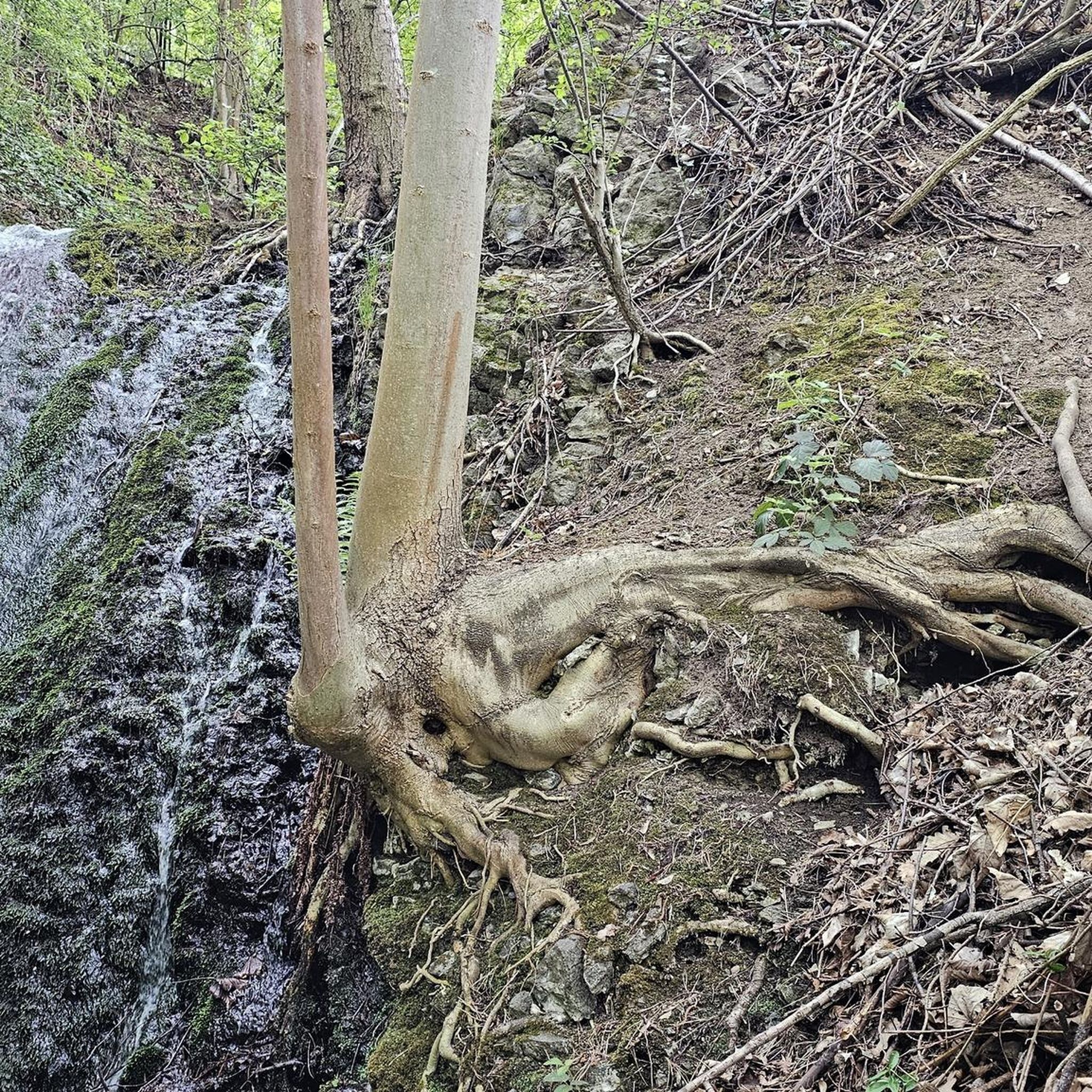
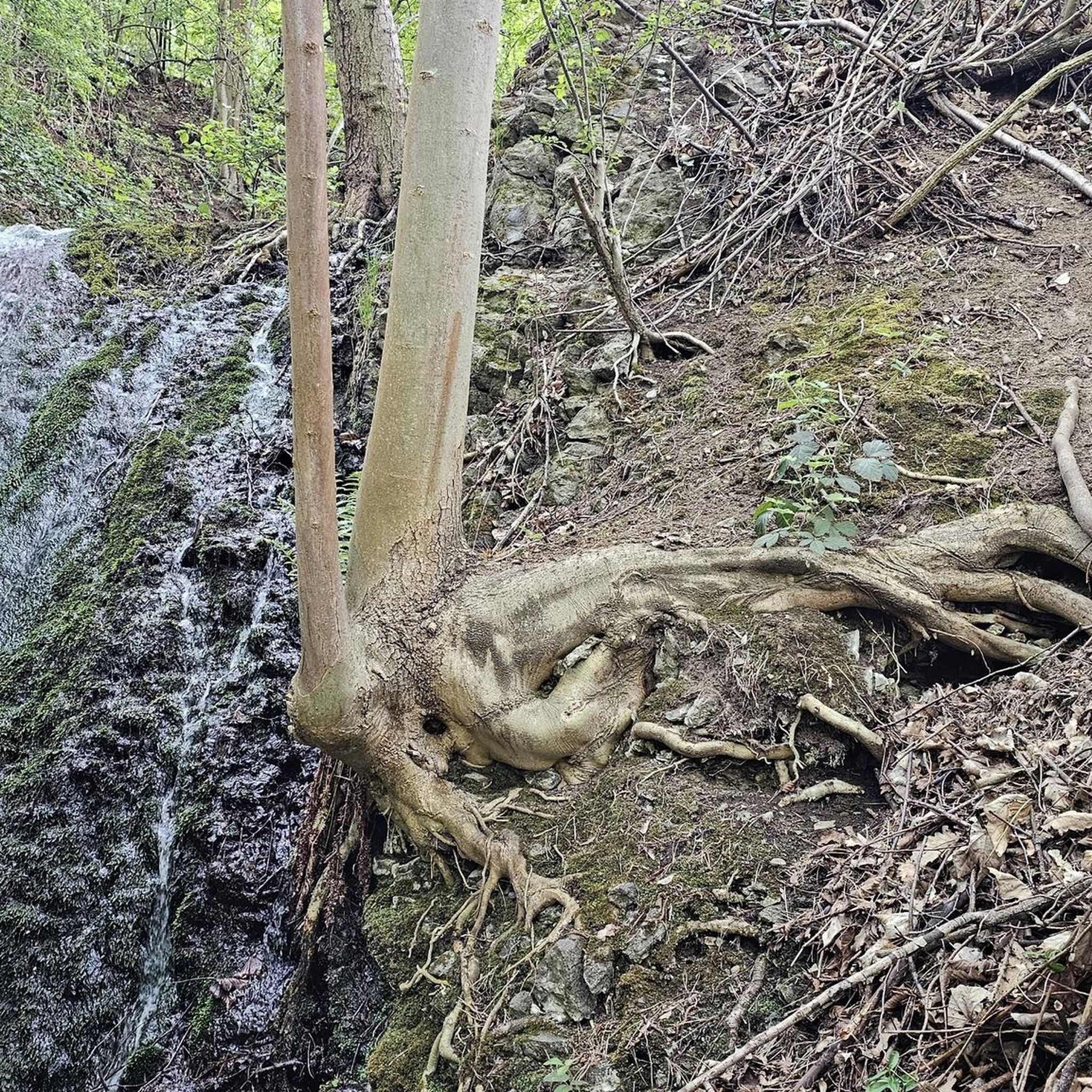
In the heart of the Côtes d'Armor, near Locarn, the Corong Gorges offer a spectacular landscape. Crossed by the Follezou river, we discover a huge pile of rocks shrouded in legend. An almost magical place! Source: https://www.tourismebretagne.com/destinations/les-10-destinations/coeur-de-bretagne-kalon-breizh/les-gorges-du-corong/
1
0

A welcome breath of fresh air
0
0

Nice walk of about 5 km. Not difficult, but unsuitable for people with limited mobility. This because of a crossing over large boulders that are not made.
0
0

This passage is the highest point of the canal. It was necessary to dig three million cubic meters of earth and rock to make the canal pass: as much as to build the largest pyramid in Egypt! The work was carried out in the 19th century by deserters imprisoned and sentenced to forced labor. Many did not survive the unimaginable working and hygienic conditions. A book “Les Bagnards du canal de Nantes à Brest” traces the little-known history of the builders of the canal from Nantes to Brest.
2
0

To connect one valley with another, this was dug out by hand, the earth removed on men's backs and all with no machinery. This is the highest point of the canal. As you go along the path, look at how high the woodlands on either side are. It was cut through rock (schist). It is 3.5Km long. On one side was a camp, really a prison, where the 600 convicts, from the prison in Brest, were housed and who were forced to do this labour. Mostly they were deserters from the War with Spain. Dysentery, fever, matnutrition were all rife and on top of back breaking physical labour. After the 1830 Revolution, some prisoners broke out of the camp: some disappered into the surrounding countryside but 200 of them presented themselves to the Military authorities at Pontivy to have their new right to Liberty confirmed and recognised. The Camp was closed by 1832 and mostly destroyed by fire a few years later.
2
0
Frequently Asked Questions
How many hiking trails are available around Maël-Carhaix?
There are over 30 hiking routes around Maël-Carhaix, offering a variety of experiences. These include 14 easy trails perfect for a relaxed stroll and 16 moderate routes for those seeking a bit more challenge.
Are there any easy or beginner-friendly hiking routes in Maël-Carhaix?
Yes, Maël-Carhaix offers 14 easy hiking routes suitable for beginners or those looking for a gentle walk. A great option is the Menhir de Gouellec – Gorong-Schlucht loop from Saint-Nicodème, which is 5.3 km long and explores the Gorong Gorge and ancient megaliths.
What kind of landscapes can I expect to see while hiking in Maël-Carhaix?
The region boasts diverse landscapes, including trails along the Aulne river, through shaded forests, and across rolling hills offering panoramic views. You'll also find the wild, rocky environment of the Gorges du Daoulas, and accessible paths along the historic Nantes to Brest Canal and the Green Way.
Are there any circular walks available in Maël-Carhaix?
Yes, many routes in Maël-Carhaix are circular. For example, the Follow the water – Gorong-Schlucht loop from Saint-Nicodème is a 7 km circular trail that takes you through river valleys and the Gorong Gorge. Another option is the Kerdiston lake – The Glomel Cut loop from Glomel, a moderate 12.3 km loop.
What interesting landmarks or attractions can I discover on hikes near Maël-Carhaix?
Hiking in Maël-Carhaix allows you to discover several points of interest. You can explore the impressive The Glomel Cut and the Great Trench of the Nantes to Brest Canal. Some trails also lead to historical sites like remnants of a Roman aqueduct or the classified covered alleys of Liscuis, and the Saint-Gildas Chapel.
Are there any longer or more challenging routes for experienced hikers?
While there are no 'difficult' graded routes, Maël-Carhaix offers 16 moderate trails that provide a good challenge. The Kerdiston lake – The Glomel Cut loop from Glomel is a moderate 12.3 km route, perfect for a longer day out. The region's diverse terrain, including hills and gorges, ensures engaging walks.
What do other hikers say about the trails in Maël-Carhaix?
The trails in Maël-Carhaix are highly regarded by the komoot community, with an average rating of 4.6 stars from over 100 reviews. Hikers often praise the varied terrain, the tranquility of the forests, and the well-maintained paths along the Green Way and the Nantes to Brest Canal.
Can I hike with my dog in Maël-Carhaix?
Many trails in Maël-Carhaix are suitable for walking with dogs, especially those through forests and along the Green Way or the Nantes to Brest Canal. It's always recommended to keep your dog on a leash, especially near livestock or in protected natural areas, and to check local signage for any specific restrictions.
Are the hiking trails in Maël-Carhaix suitable for families with children?
Yes, Maël-Carhaix has several family-friendly options, particularly the 14 easy routes. The Green Way, a former railway line, offers flat and accessible paths ideal for families. The Étang des Sources also provides a pleasant, easy loop within a leisure center, perfect for a relaxed family outing.
Is there public transport access to hiking trailheads in Maël-Carhaix?
Maël-Carhaix is a rural area, and while local bus services might connect some villages, direct public transport to specific trailheads can be limited. It's advisable to check local bus schedules (e.g., BreizhGo) or consider driving to access the starting points of most hikes. The Green Way and Nantes to Brest Canal are generally more accessible.
Where can I park when going for a hike in Maël-Carhaix?
Parking is generally available in the villages and towns near trailheads. For routes starting in Maël-Carhaix itself, you can usually find parking in the town center. For trails along the Green Way or Nantes to Brest Canal, designated parking areas are often provided at access points or nearby villages. Always look for official parking signs.
What is the best time of year to go hiking in Maël-Carhaix?
Maël-Carhaix offers pleasant hiking conditions for much of the year. Spring and autumn provide mild temperatures and beautiful scenery with blooming flowers or vibrant fall foliage. Summer is also popular, though trails can be busier. Winter hiking is possible, especially on the less exposed routes, but be prepared for cooler, potentially wetter weather.
Most popular routes around Maël-Carhaix
Most popular attractions around Maël-Carhaix

Get inspired with the komoot mobile app


Explore more
Browse the best Hikes in other regions.
