The best running trails around Sauclières
4.5
(21)
1,291
runners
104
runs
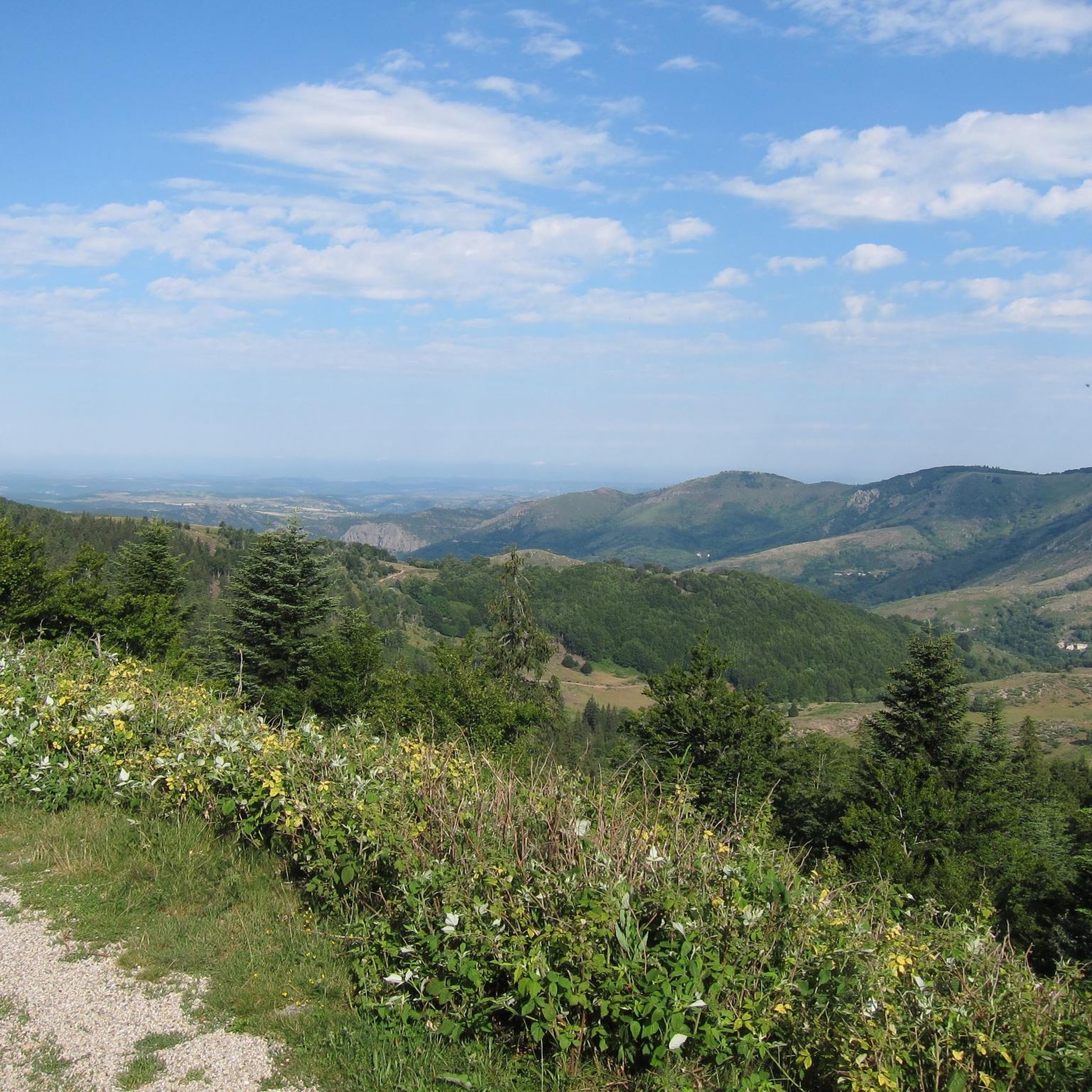
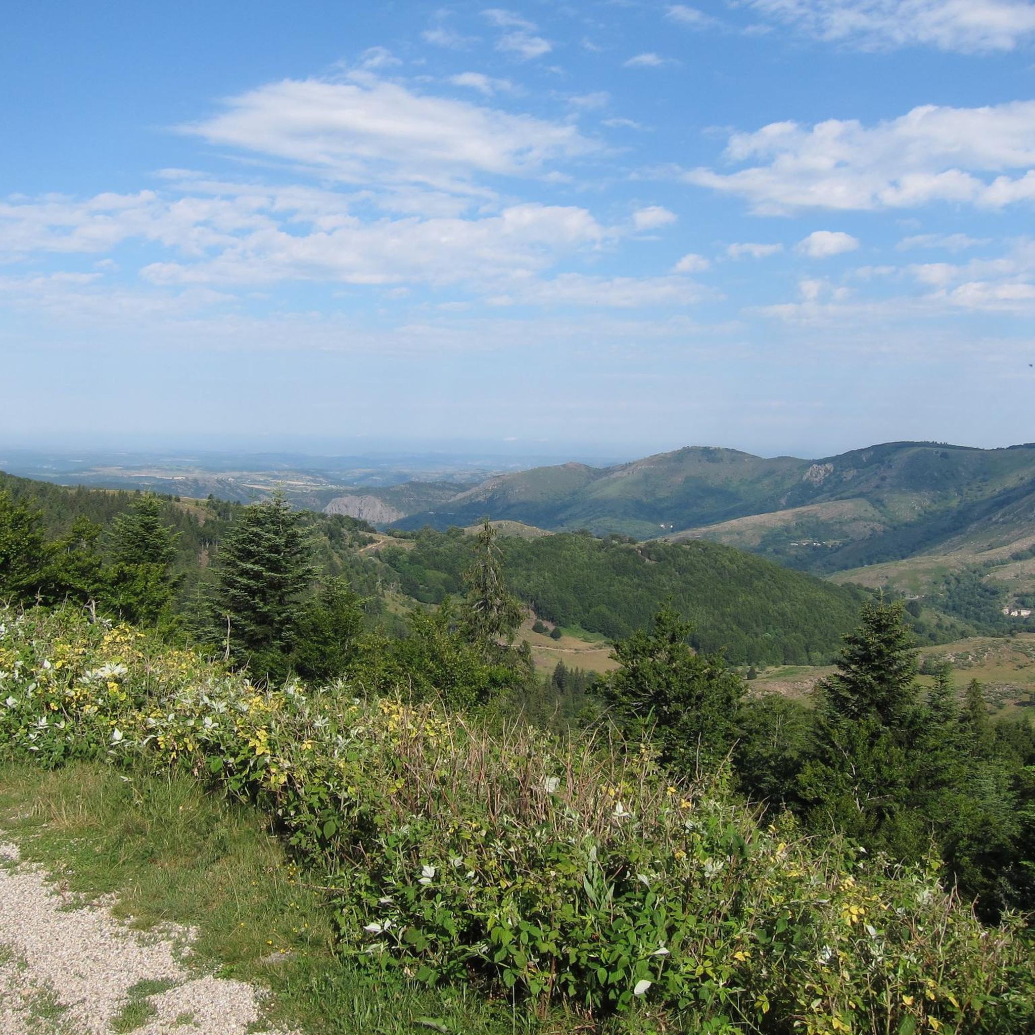
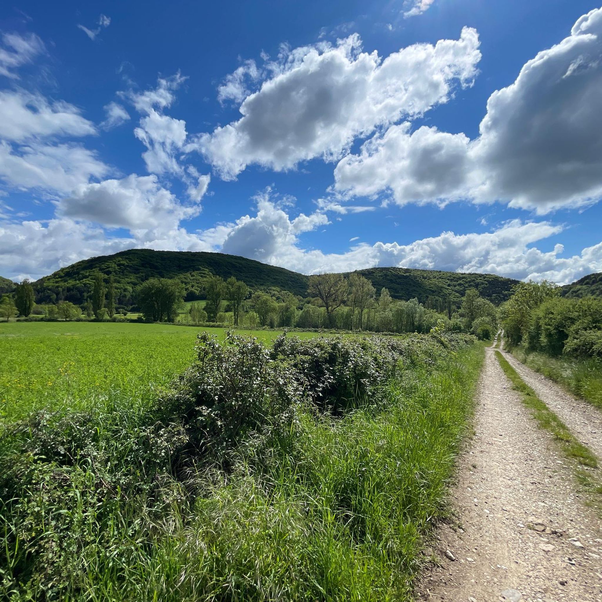
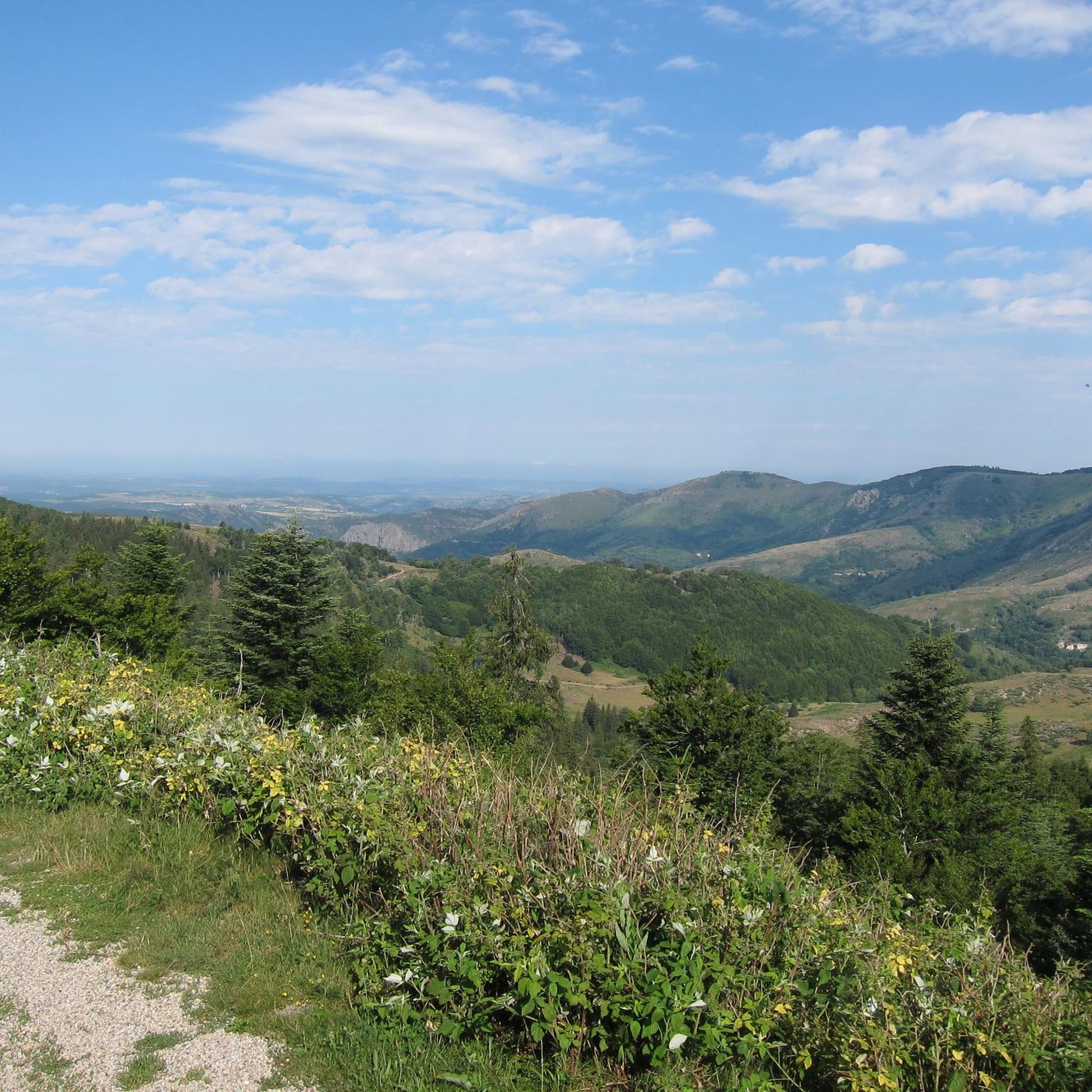
Jogging routes around Sauclières traverse a diverse landscape situated between the Cévennes and Larzac regions, within the Grands Causses UNESCO World Heritage site. The area features a varied topography with an altitudinal range from 580 to 1,341 meters, offering both flatter paths and challenging uphill routes. Runners can explore limestone plateaus, wooded hills, and valleys drained by small rivers. A notable feature for running is a disused railway line, repurposed into a path, which includes tunnels and viaducts.
Best jogging…
Last updated: July 8, 2026
35
runners
22.3km
03:00
800m
800m
Hard run. Very good fitness required. Mostly paved surfaces. Suitable for all skill levels.
14
runners
Hard run. Very good fitness required. Mostly paved surfaces. Suitable for all skill levels.

Sign up for free
12
runners
9.25km
01:11
310m
310m
Hard run. Very good fitness required. Mostly paved surfaces. Suitable for all skill levels.
8
runners
Hard run. Very good fitness required. Mostly paved surfaces. Suitable for all skill levels.
8
runners
13.4km
01:43
420m
420m
Hard run. Very good fitness required. Mostly paved surfaces. Suitable for all skill levels.
Get access to more routes and recommendations from other explorers.
Sign up for free
Already have an account?
Our route recommendations are based on thousands of hikes, rides, and runs completed by other people on komoot.
Start today with a free account
Your next adventure awaits.
Login or Signup

Tips from the Community

Right in the heart of the old quarter, opposite the old main street, this high 13th century bridge connects the two banks of the Dourbie in a single masonry arch. Until the 18th century, it was the only bridge in the village. Today, it can still be used by pedestrians.
0
0
Sauclière is a small Caussenard village of 169 inhabitants (2020) and located on the Larzac plateau, on the borders of Gard, Lozère and Aveyron. Typical, with beautiful pink sandstone houses with slate roofs, you have to take the time to stop there, stroll through the small streets and on market days, and notice some of its beautiful buildings. In particular, the Church of the Assumption, in Romanesque style from the 12th century, the central square with a fountain, the communal bread oven. Surrounded by the plateau and a few forests, life there is gentle and slowed down to the rhythm of the countryside and the seasons. It is a place of passage, already borrowed in Roman times, because on the axis Nîmes - Le Vigan towards Larzac and Millau by the valley of Dourbie and Nant. In the Middle Ages, Sauclières was the seat of a Benedictine priory. At the end of the 19th century, a railway line linking Vigan to Tournemire was built. The village was one of the main station, because it was equidistant from the two cities. This construction was a source of prosperity for the town, which exceeded 1,000 inhabitants during the decade of the works. The line was closed in 1939, then dismantled in 1955. Today, a greenway project is under study.
0
0
Magnificent Caussenard village, Saint-Jean-du-Bruel is ideally located on the Dourbie. The village is stepped and several buildings are very tall, rising from the river to the top of the gorge. Many development works, bridges, reservoirs, canals, dykes, allow the construction. Former village of potters, several buildings tell this story. Noria, a museum dedicated to water, also talks about the history of Dourbie. The village also has very beautiful medieval buildings, including a sumptuous old bridge, as well as all services and shops.
1
0
Special geological formation on the Causse Bégon. A small cave has been dug by erosion in a limestone rock.
0
0
These ovens, also called Valettes ovens, were inaugurated in 1905 by the Société des Mines Métalliques de l’Aveyron. The five furnaces were intended for the enrichment of an ore extracted in the surroundings by reduction, however, the results were not those expected and they will be shut down and abandoned in 1914. Part of the stones from the furnaces have been reused in buildings in Saint-Jean-du-Bruel.
0
0
This 14th century bridge spans the Dourbie at the exit of Nant. Magnificent structure with two semicircular arches, it has been on the list of historical monuments since 1944. When you cross it, you can see the remains of another old medieval bridge.
0
0
The ruins of the castle offer a beautiful view and are easily accessible. The village of Algues has been charming and nicely renovated. The adjoining forest offers beautiful hikes, between streams and chestnut groves.
0
0

Charming bridge over the Dourbie. Bucolic wish.
0
0
Frequently Asked Questions
How many running routes are available around Sauclières?
There are over 110 dedicated running routes around Sauclières, catering to various fitness levels. You'll find a mix of easy, moderate, and challenging trails to explore the diverse landscapes of the region.
Are there any easy or beginner-friendly jogging trails in Sauclières?
Yes, while many routes offer a challenge, there are a few easier options. The region's varied topography allows for less strenuous paths, particularly along the repurposed disused railway line, which offers a relatively flat and continuous route. Look for routes marked as 'easy' on komoot.
What kind of landscapes can I expect to see while running in Sauclières?
Jogging in Sauclières offers a diverse experience, from limestone plateaus and wooded hills to valleys drained by small rivers. The area is nestled between the Cévennes and Larzac regions, within the UNESCO World Heritage site of Les Grands Causses, providing breathtaking panoramic views and varied ecosystems.
Are there any unique features or historical sites to discover on the running routes?
Absolutely! A unique highlight for runners is the former SNCF railway line connecting Tournemire to Le Vigan, now repurposed into a path. You can jog through tunnels and over viaducts, offering a distinctive and historically rich experience. Additionally, you might encounter sites like the Minier Pass, which sits on the watershed line between the Mediterranean and Atlantic.
What do other runners enjoy most about the trails in Sauclières?
The running routes in Sauclières are highly rated by the komoot community, with an average score of 4.4 stars from over 20 reviews. Runners frequently praise the varied terrain, the stunning natural beauty of the Grands Causses, and the unique experience of running along the old railway line.
Can I find circular running routes in the Sauclières area?
Yes, many of the routes around Sauclières are designed as loops, allowing you to start and finish at the same point. For example, the Château d'Algues loop from Saint-Jean-du-Bruel is a popular circular trail leading through rolling hills.
Are there any running routes that pass by interesting landmarks or viewpoints?
Several routes offer scenic views and pass by notable landmarks. You can find trails that lead to viewpoints like Cantobre, a perched village, or offer vistas over the Vis valley. The Minier Pass is also a significant natural feature often encountered on longer runs.
What is the best time of year to go running in Sauclières?
Sauclières offers a pleasant environment for running for much of the year. Spring and autumn generally provide mild temperatures and vibrant scenery. Summer can be warm, so early morning or late afternoon runs are often preferred. The varied topography means you can find suitable conditions across seasons.
Are there any long-distance or challenging running routes for experienced runners?
Sauclières is an excellent destination for experienced runners seeking a challenge. With 66 routes classified as 'difficult' and 43 as 'moderate', there are plenty of options. The Saint-Jean-du-Bruel Village loop from Faubourg du Vieux Pont, for instance, is a difficult 22.3 km trail with significant elevation gain.
Are the running trails in Sauclières suitable for families?
While many routes involve varied terrain and elevation, some sections, particularly along the disused railway line, are flatter and more accessible, making them suitable for family outings. It's advisable to check the difficulty and length of specific routes on komoot to find the best fit for your family's abilities.
Is it possible to access the running routes in Sauclières by public transport?
Sauclières is a rural commune, and public transport options might be limited. It's generally recommended to travel by car to access the trailheads. However, some routes might start near villages with infrequent bus services. Checking local transport schedules in advance is advised.
Are there specific parking areas for accessing the running trails?
While specific designated parking for every trailhead might vary, you can typically find parking in the villages or near popular starting points for routes. For example, routes like the Saint-Jean-du-Bruel Village – Cueva de la Cañada loop often start from areas like Faubourg du Vieux Pont, where parking is usually available.
Most popular routes around Sauclières
Most popular attractions around Sauclières

Get inspired with the komoot mobile app


Explore more
Browse the best Running Trails & Routes in other regions.
