The best road cycling routes around Oltingen
4.3
(223)
3,760
riders
112
rides
Road cycling routes around Oltingen traverse a landscape characterized by rolling hills, open countryside, and plateaus, with some routes featuring significant elevation gains and passes. The region offers a mix of agricultural land and forested sections, providing varied scenery for road cyclists. Many routes explore areas near the Ill river and offer views over local villages. The terrain includes both moderate climbs and more challenging ascents, catering to different fitness levels.
Best road cycling routes around Oltingen
- The most popular…
Last updated: July 5, 2026
4.5
(12)
117
riders
46.8km
02:07
480m
480m
Moderate road ride. Good fitness required. Mostly well-paved surfaces and easy to ride.
5.0
(3)
122
riders
58.0km
02:55
810m
810m
Moderate road ride. Good fitness required. Some segments of this route may be unpaved and difficult to ride.

Sign up for free
5.0
(1)
44
riders
31.5km
01:30
380m
380m
Moderate road ride. Good fitness required. Mostly well-paved surfaces and easy to ride.
3.0
(2)
25
riders
75.2km
03:13
670m
670m
Moderate road ride. Good fitness required. Some segments of this route may be unpaved and difficult to ride.
19
riders
87.2km
04:18
1,360m
1,360m
Hard road ride. Very good fitness required. Mostly well-paved surfaces and easy to ride.
Get access to more routes and recommendations from other explorers.
Sign up for free
Already have an account?
Our route recommendations are based on thousands of hikes, rides, and runs completed by other people on komoot.
Start today with a free account
Your next adventure awaits.
Login or Signup

Tips from the Community

The pass appears unspectacular, but those who take the time for a short break can admire the southern Jura mountain ranges and the gentle hills to the north through the hedge.
0
0

Unlike the Blochmont, which crosses the same ridge just a little further on, this road from Wolschwiller is considerably more challenging. After a gentle start, the route climbs relatively steeply through the narrow valley. A stream flows to the right, while beautiful rock formations are often visible to the left. At the top, near the unmistakable 'Lange Matte' (Long Meadow), the terrain levels out again, and soon you're at the top.
0
1
I can only agree with Mattia: it's a short stretch of road through fields, but otherwise completely unspectacular, not even worth a tip...
0
0
Biederthal is often reached by car from Basel / the Birstal valley, but this point here is nothing special in itself.
0
0

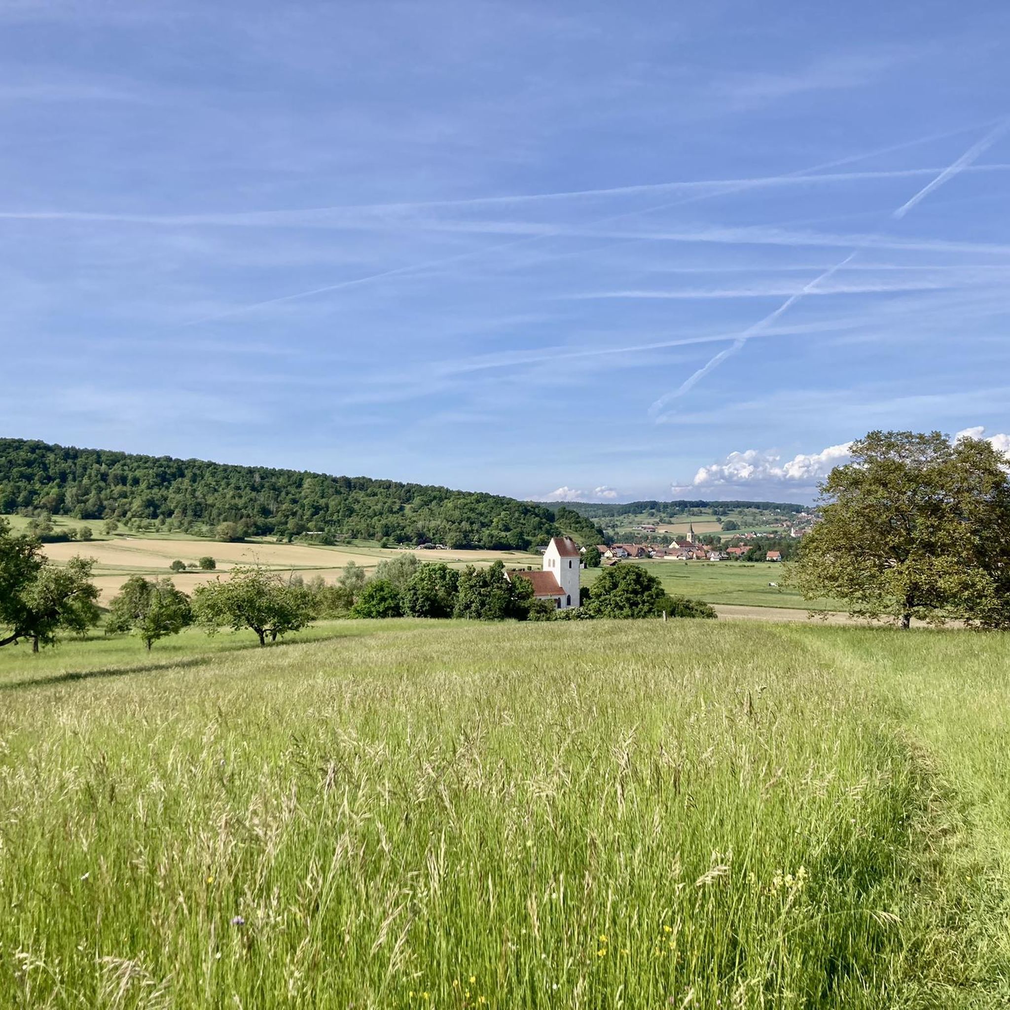
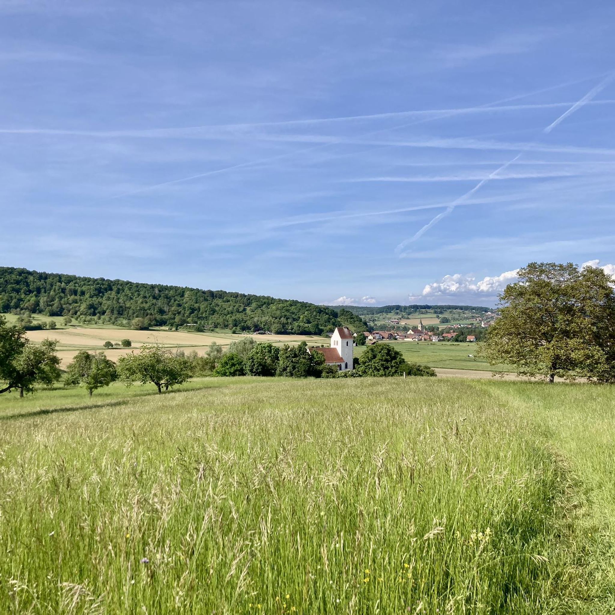
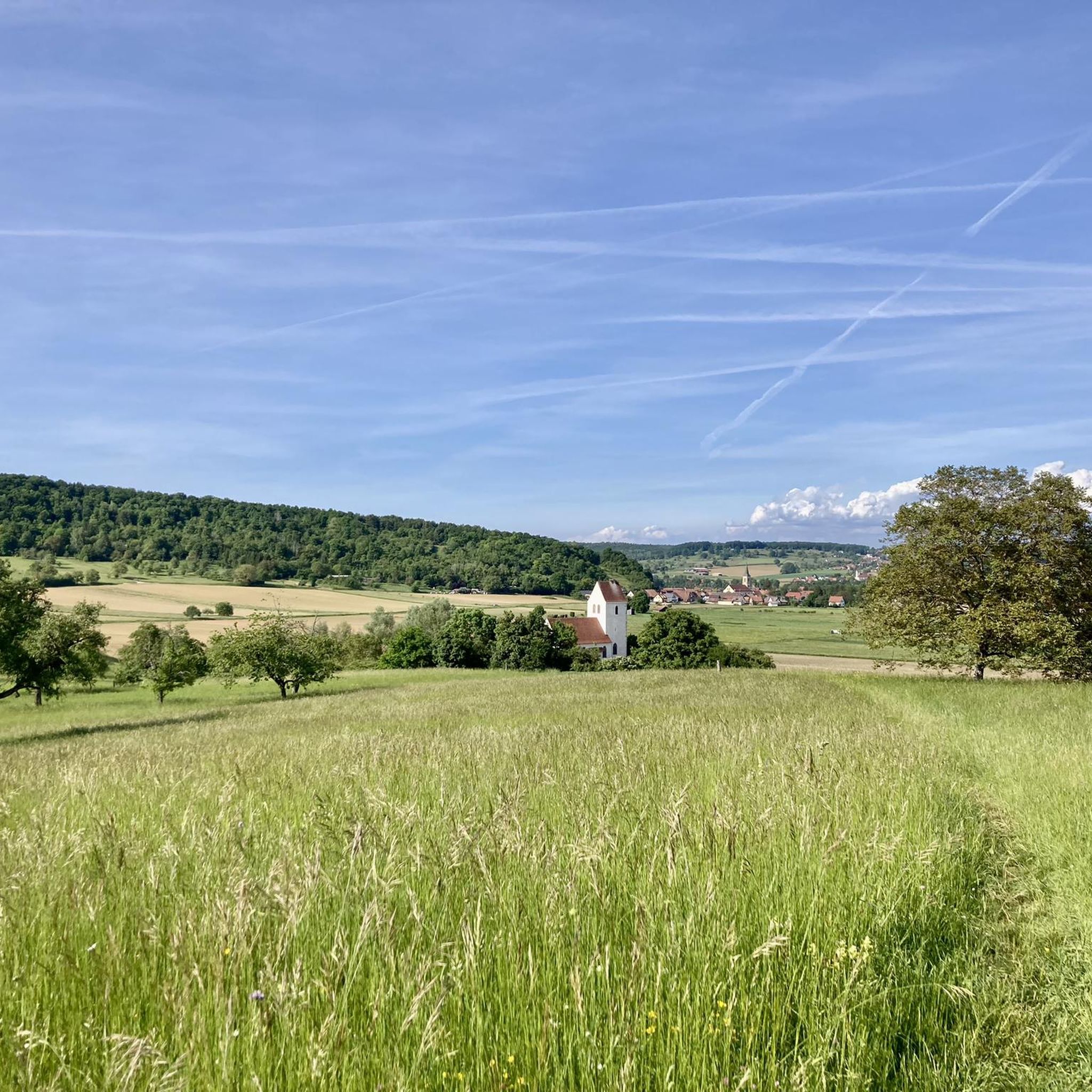
The current parish church of Oltingue was built between 1827 and 1831 in late classicist style. Striking features include the triangular pediment above the round-arched portal and the Callinet organ from 1843, which is still in use. Together with the presbytery and the former school, the church forms a well-preserved village ensemble from the Louis-Philippe period. The church replaced an older mother church outside the village.
11
0


@Koblinator regarding main roads: yes, but it must be made very clear that the French 1. consider and respect cyclists more than the Swiss (in my experience) and 2. therefore always drive very generously around them (changing lanes to the left). After 17 years of racing, constantly on the Swiss-French border, my clear conclusion is...F = Tour de France country...
0
0

A nice road offering with a few small bumps but nothing to impact ones speed. Enjoy the beautiful Alsatian scenery and architecture along the way.
0
0
Frequently Asked Questions
How many road cycling routes are available around Oltingen?
There are over 100 road cycling routes around Oltingen, offering a diverse range of options for cyclists. These include 21 easy routes, 78 moderate routes, and 14 more challenging options.
What kind of terrain can I expect when road cycling around Oltingen?
The Oltingen region is characterized by rolling hills, open countryside, and plateaus. You'll encounter a mix of agricultural land and forested sections, with some routes featuring significant elevation gains and passes. Many paths also explore areas near the Ill river and offer views over local villages.
Are there road cycling routes suitable for beginners in Oltingen?
Yes, Oltingen offers 21 easy road cycling routes. These routes typically feature less elevation gain and shorter distances, making them ideal for those new to road cycling or looking for a more relaxed ride. For example, you could explore parts of the Ill river valley.
What are some challenging road cycling routes for experienced riders?
For experienced riders seeking a challenge, Oltingen has 14 difficult routes. One such route is the Rangiers Pass – Blochmont Pass loop from Bettlach, which covers 54 miles (87 km) and includes over 4,400 feet (1,300 meters) of elevation gain, often taking over 4 hours to complete.
Are there circular road cycling routes around Oltingen?
Yes, many road cycling routes around Oltingen are designed as loops, allowing you to start and finish in the same location. A popular example is The itineraries of the three countries — loop from Oltingue, which offers varied landscapes and crosses international borders.
What do other road cyclists say about the routes around Oltingen?
The road cycling routes around Oltingen are highly rated by the komoot community, with an average score of 4.3 stars from over 200 reviews. Cyclists often praise the varied scenery, the mix of rolling hills and challenging ascents, and the opportunity to explore both local villages and open countryside.
Are there any scenic viewpoints along the road cycling routes?
Yes, the region offers several scenic viewpoints. For instance, the Remelturm Observation Tower provides panoramic views, and the View of Passwang and Jura Peaks offers stunning vistas of the surrounding mountains. Many routes also feature views over local villages and the Ill river valley.
Can I find places to stop for refreshments or a meal along the routes?
Yes, there are various huts, cabins, and cafes scattered throughout the region where you can stop for refreshments. Options like Besenbeiz Busenberg offer a chance to refuel during your ride. Many routes pass through villages where additional dining options may be available.
What is the best time of year for road cycling in Oltingen?
The best time for road cycling in Oltingen is typically from spring through autumn. During these seasons, the weather is generally milder, and the landscapes are vibrant. Spring brings blooming fields, while autumn offers beautiful foliage. Always check the local weather forecast before heading out.
Are there routes that offer views of local landmarks or natural features?
Absolutely. Routes like Vue sur Wolschwiller – Vue sur Bettlach loop from Lutter provide views over local villages and rolling countryside. You can also find routes that pass by the Mätzerlechrüz Cross or explore the Ill river valley, offering a mix of natural beauty and cultural points of interest.
How can I find parking for road cycling routes in Oltingen?
Parking availability varies by starting point. Many routes begin in or near villages, where public parking may be available. It's advisable to check the specific route details on komoot for recommended starting points and parking information, or to use a mapping app to locate parking facilities near your chosen trailhead.
Are there any hidden gem road cycling routes in the Oltingen area?
While many routes are well-known, the extensive network around Oltingen means there are always less-traveled paths to discover. Exploring the smaller roads through agricultural land or forested sections, particularly those that connect lesser-known villages, can reveal quiet and scenic 'hidden gems' away from the more popular loops.
Most popular attractions around Oltingen

Get inspired with the komoot mobile app


Explore more
Browse the best Road cycling routes in other regions.
