The best walks and hikes around Montpezat
4.5
(521)
2,626
hikers
237
hikes
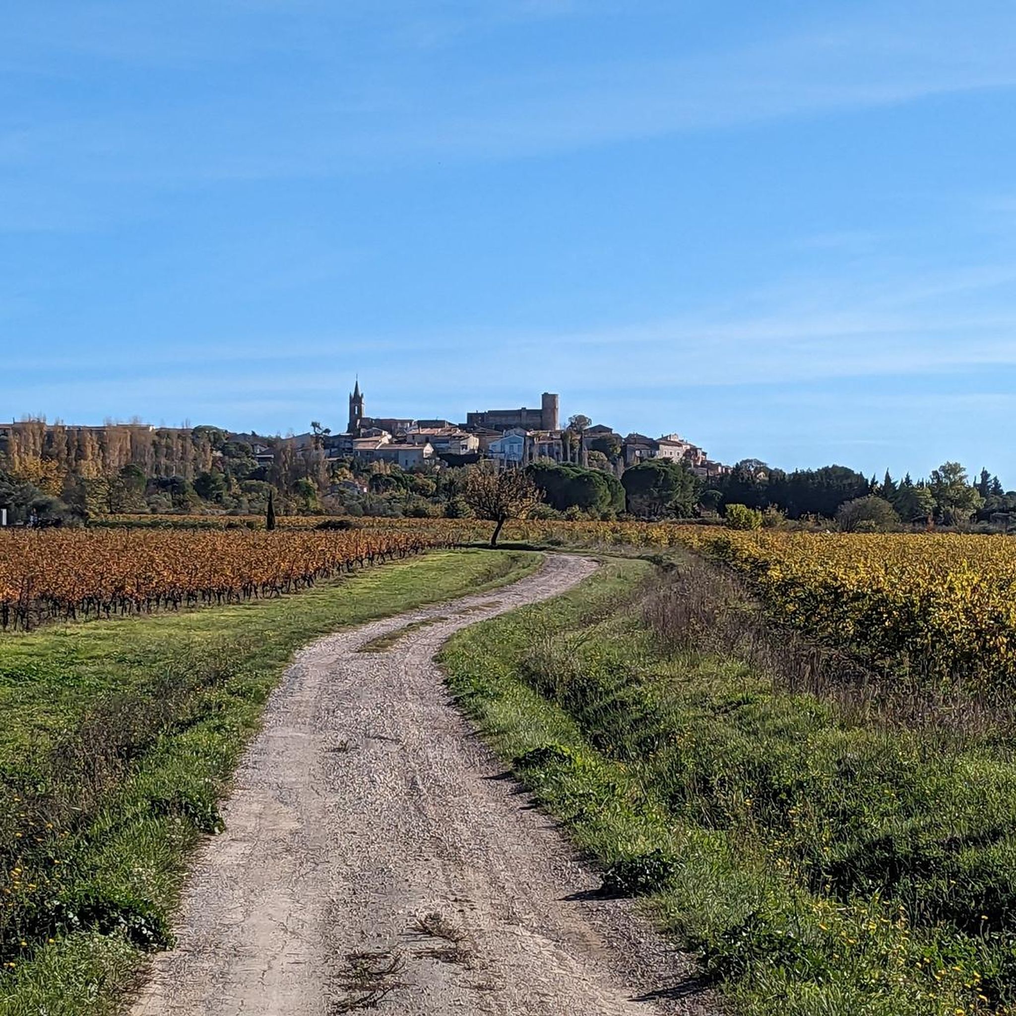
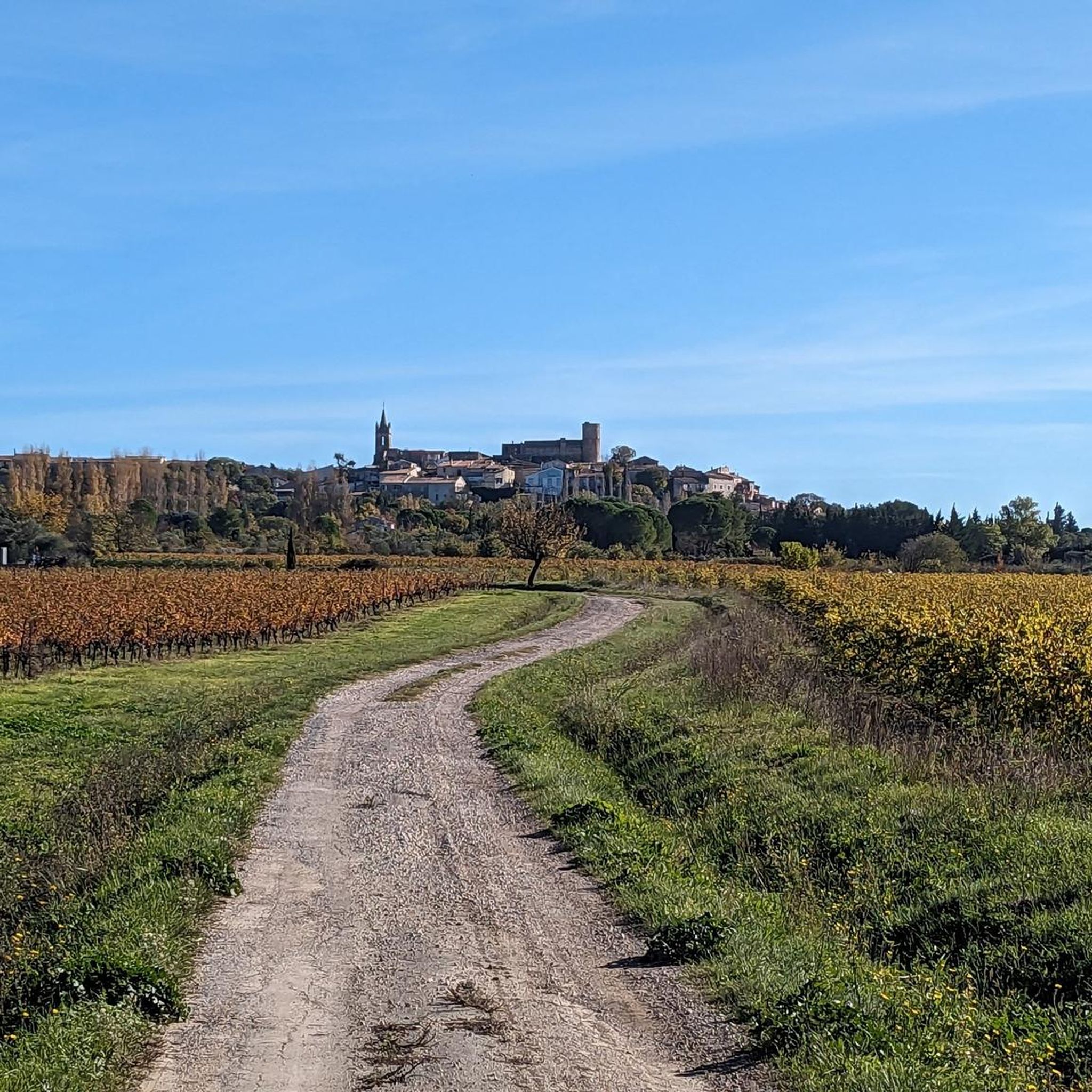
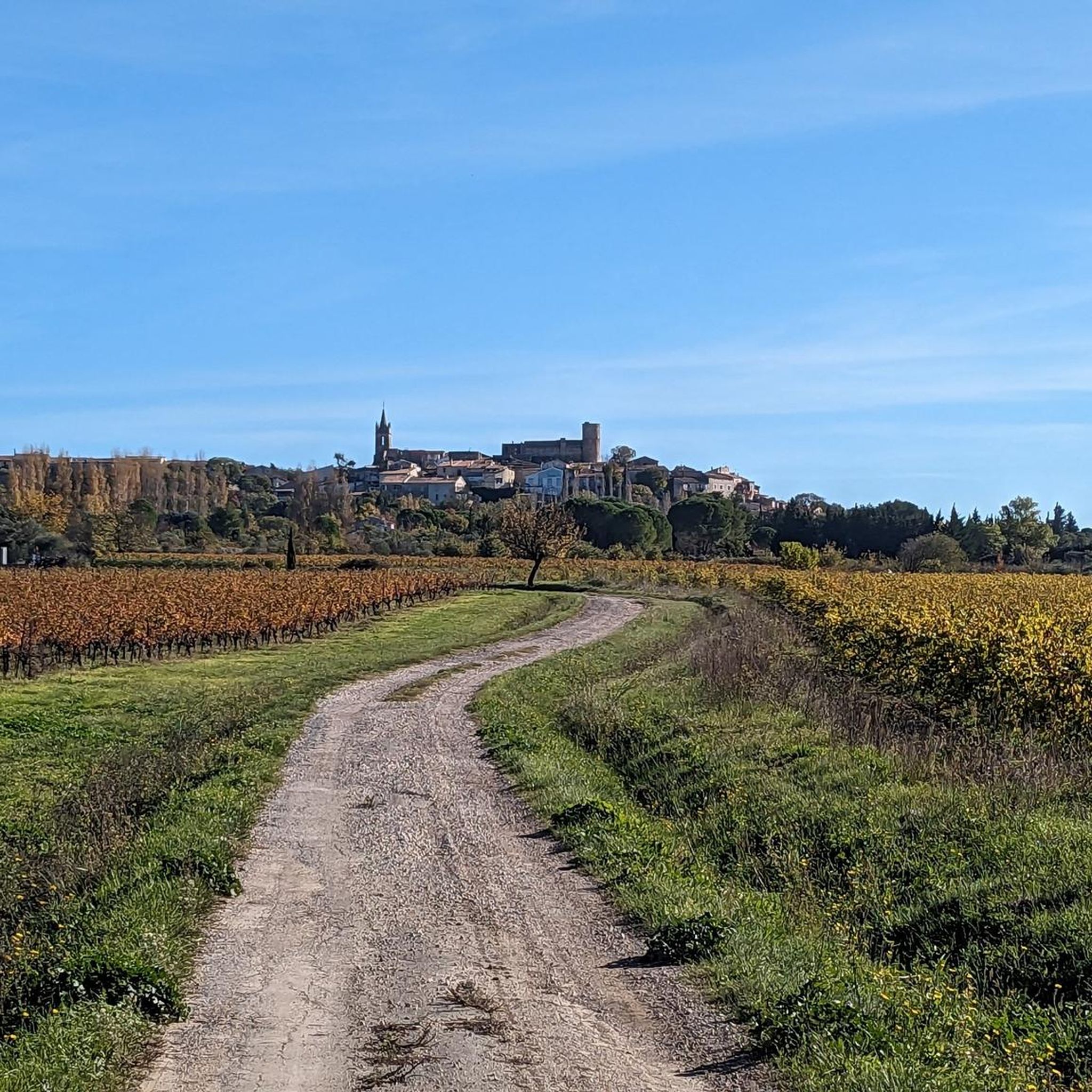
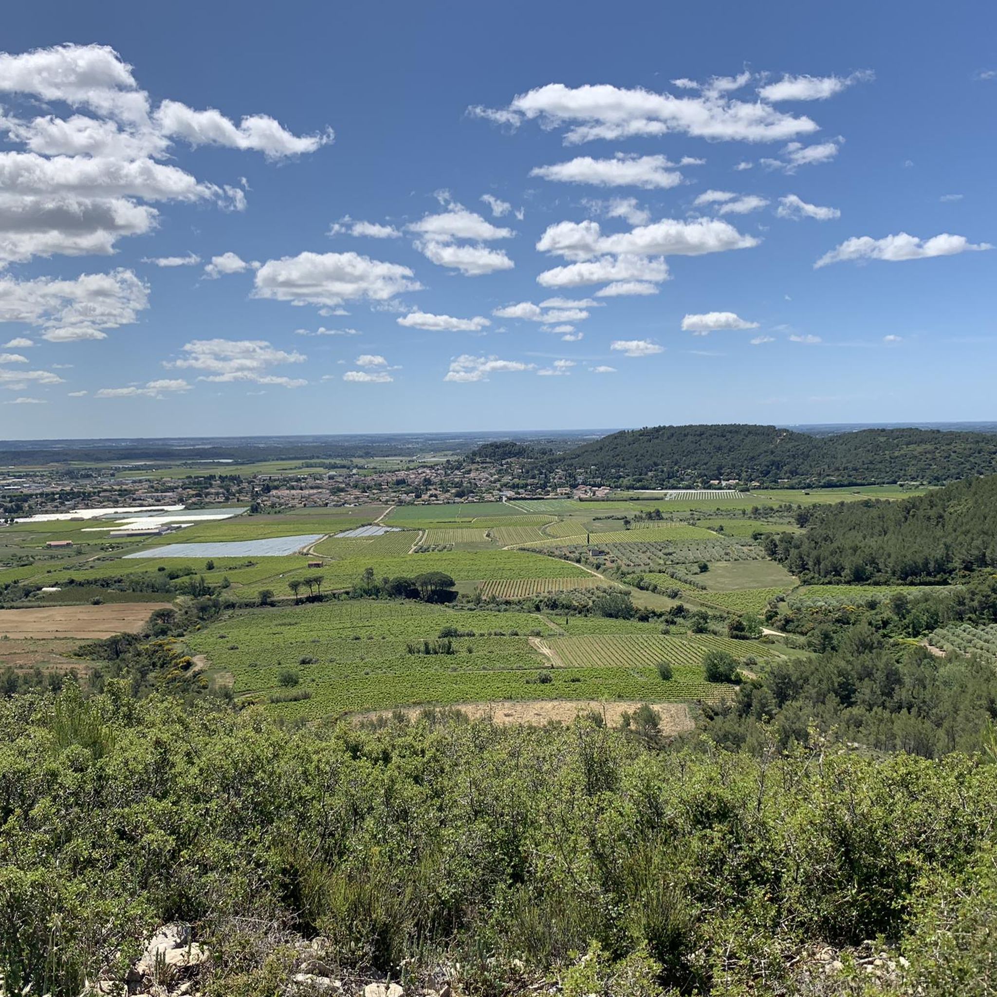
Hiking around Montpezat offers a network of trails through the varied landscape of the region. The area features rolling hills, agricultural lands, and historic village elements like church towers and stone staircases. Elevation changes are generally moderate, with routes traversing open countryside and some wooded sections. The terrain is suitable for exploring the local environment and historical sites.
Best hiking trails around Montpezat
- The most popular hiking route is Church Tower of Montpezat – Stone Staircase (Calade) loop from Montpezat…
Last updated: June 25, 2026
5.0
(1)
19
hikers
6.04km
01:41
110m
110m
Easy hike. Great for any fitness level. Easily-accessible paths. Suitable for all skill levels.
4.0
(1)
7
hikers
15.3km
04:14
260m
260m
Moderate hike. Good fitness required. Easily-accessible paths. Suitable for all skill levels.

Sign up for free
4.0
(1)
7
hikers
14.5km
04:00
240m
240m
Moderate hike. Good fitness required. Easily-accessible paths. Suitable for all skill levels.
4.0
(1)
7
hikers
8.06km
02:14
140m
140m
Moderate hike. Good fitness required. Easily-accessible paths. Suitable for all skill levels.
4.0
(1)
4
hikers
Easy hike. Great for any fitness level. Easily-accessible paths. Suitable for all skill levels.
Get access to more routes and recommendations from other explorers.
Sign up for free
Already have an account?
Our route recommendations are based on thousands of hikes, rides, and runs completed by other people on komoot.
Start today with a free account
Your next adventure awaits.
Login or Signup

Tips from the Community

Tables and equipment for comfortable picnicking
0
0

It is fascinating to admire a detail through the keyhole when the church is closed.
2
0

Presence of a fountain to fill your cans, particularly welcome in the summer.
0
0

Mountain bike or on foot :-)
1
0
Nice little descent in stone stairs (= Calade)
1
0

beautiful village square as a start for hikes, bike tours and MTB tours.
0
0
Frequently Asked Questions
How many hiking trails are available around Montpezat?
There are over 200 hiking routes in the Montpezat region, offering a wide variety of options for different skill levels and preferences. You'll find everything from easy strolls to more challenging excursions.
Are there easy hiking trails suitable for beginners in Montpezat?
Yes, Montpezat offers a good selection of easy trails. Over 100 routes are classified as easy, featuring moderate elevation changes and well-defined paths through rolling hills and agricultural lands. An example is the Capitelle de Rieuse – Sinsans Tour of the Liquiere loop from Saint-Côme-et-Maruéjols, which is 7 km long and takes about 1 hour 55 minutes.
What kind of terrain can I expect on Montpezat's hiking trails?
The terrain around Montpezat is characterized by rolling hills, agricultural fields, and some wooded sections. You'll often encounter historic village paths, including stone staircases, and open countryside. Elevation changes are generally moderate, making the area accessible for various fitness levels.
Are there any circular hiking routes in Montpezat?
Many of the hiking routes in Montpezat are designed as circular loops, allowing you to start and end at the same point. For instance, the Nice trail – DEG trail loop from Montpezat is a moderate 8 km circular route that takes around 2 hours 15 minutes to complete.
What are some interesting landmarks or attractions to see while hiking near Montpezat?
While hiking, you can explore several historical sites and natural features. Notable attractions include the ancient Ancient Roman Quarry and other Roman Quarries. You might also encounter the Roman Fountain of Ranquet or the Roc de Gachone – 4 Windmills, offering scenic views.
What do other hikers say about the trails in Montpezat?
The hiking trails in Montpezat are highly regarded by the komoot community, with an average rating of 4.5 stars from over 400 reviews. Hikers often praise the well-maintained paths, the blend of natural beauty with historic village elements, and the variety of routes suitable for different abilities.
Is Montpezat a good destination for family-friendly hikes?
Yes, Montpezat is suitable for family-friendly hikes, especially with its numerous easy and moderate routes. The gentle terrain and shorter loop options make it enjoyable for all ages. Many trails pass through charming villages and offer opportunities to explore local history.
Are there any specific considerations for hiking in Montpezat during summer?
During summer, Montpezat can experience warm temperatures. It's advisable to start hikes early in the morning or later in the afternoon to avoid the midday heat. Carry plenty of water, wear sun protection, and choose routes with some shaded sections if possible. The open agricultural lands can be exposed to the sun.
Are there options for public transport to access hiking trails in Montpezat?
While Montpezat is a rural area, local bus services might connect to nearby towns. However, for direct access to many trailheads, personal transport is generally more convenient. It's recommended to check local bus schedules for specific routes if you plan to rely on public transport.
Where can I find parking for hiking trails in Montpezat?
Parking is typically available in or near the village centers, close to the start points of many popular hiking routes. Look for designated parking areas in Montpezat or the smaller hamlets from which trails often begin. Specific parking details are usually provided on individual route descriptions.
What is the best time of year to go hiking in Montpezat?
The spring (April-June) and autumn (September-October) months are generally considered the best times for hiking in Montpezat. During these seasons, the weather is mild and pleasant, and the landscape is vibrant with spring blooms or autumn colors. Summer can be hot, while winter offers cooler, quieter conditions.
Are there any hidden gem hikes or less-trafficked trails in the Montpezat area?
With over 200 routes, Montpezat certainly has lesser-known trails beyond the most popular ones. To discover these, explore the full range of routes on komoot, filtering by difficulty or length to find paths that might be less frequented. These often lead through quiet agricultural areas or offer unique perspectives of the local landscape.
Most popular routes around Montpezat
Most popular attractions around Montpezat

Get inspired with the komoot mobile app


Explore more
Browse the best Hikes in other regions.
