The best road cycling routes around Riespach
4.6
(149)
2,776
riders
129
rides
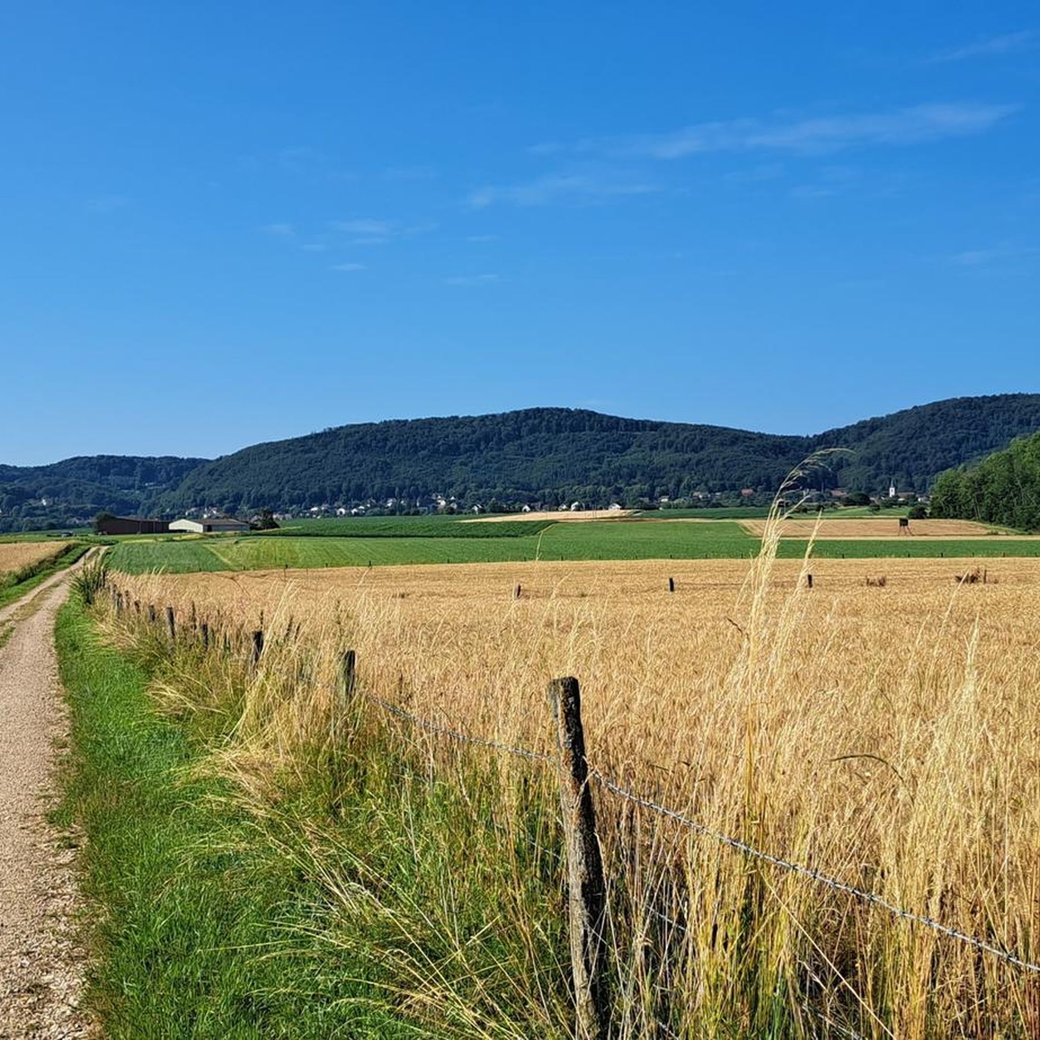
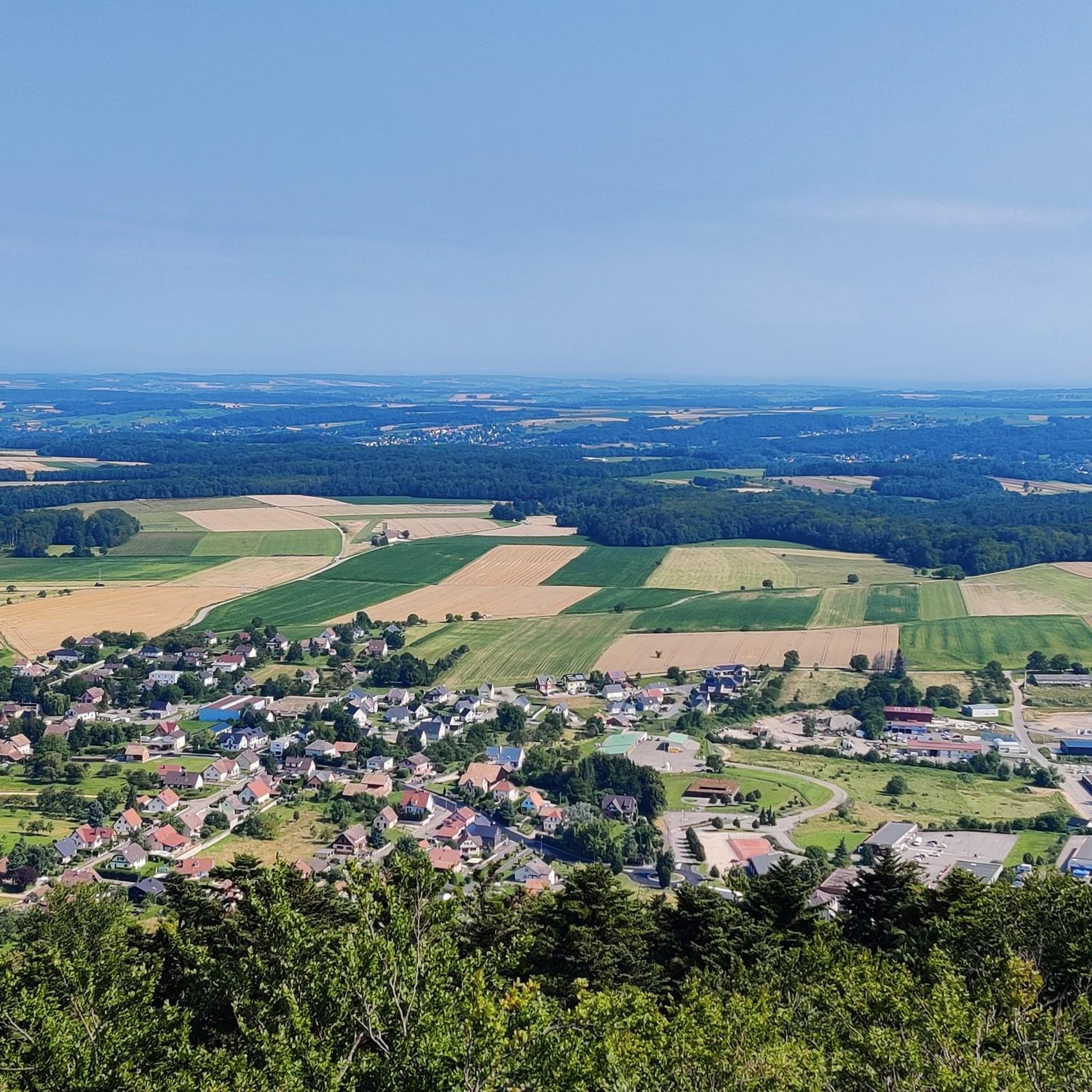
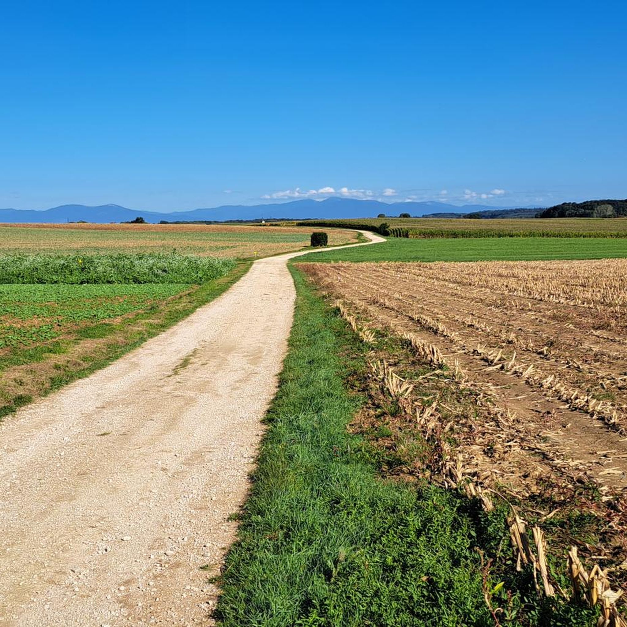
Road cycling routes around Riespach are situated within the Sundgau region of Alsace, characterized by rolling hills, verdant valleys, and the presence of the Ill and Largue rivers. The terrain offers a mix of flatter sections and moderate ascents, with average elevations ranging from 355 to 455 meters. Cyclists can experience panoramic views of the Alsatian Jura massif and the surrounding countryside. This area provides a diverse landscape for road cycling.
Best road cycling routes around Riespach
- The most popular…
Last updated: July 3, 2026
5.0
(2)
49
riders
Moderate road ride. Good fitness required. Mostly well-paved surfaces and easy to ride.
31
riders
55.3km
02:26
500m
510m
Moderate road ride. Good fitness required. Mostly well-paved surfaces and easy to ride.

Sign up for free
3.0
(1)
22
riders
76.9km
03:22
580m
580m
Moderate road ride. Good fitness required. Mostly well-paved surfaces and easy to ride.
19
riders
59.7km
02:46
720m
720m
Moderate road ride. Good fitness required. Mostly well-paved surfaces and easy to ride.
5.0
(1)
11
riders
50.3km
02:06
360m
360m
Moderate road ride. Good fitness required. Mostly well-paved surfaces and easy to ride.
Get access to more routes and recommendations from other explorers.
Sign up for free
Already have an account?
Our route recommendations are based on thousands of hikes, rides, and runs completed by other people on komoot.
Start today with a free account
Your next adventure awaits.
Login or Signup

Tips from the Community

I can only agree with Mattia: it's a short stretch of road through fields, but otherwise completely unspectacular, not even worth a tip...
0
0

One of the few 'classic' mountain passes (🤣) near Basel. As Koblinator wrote: Thanks to the gentle gradient, it's a pleasant ride that doesn't significantly impact your average speed.
0
0
Biederthal is often reached by car from Basel / the Birstal valley, but this point here is nothing special in itself.
0
0

A sign has now been posted: "No drinking water."
0
0

The current parish church of Oltingue was built between 1827 and 1831 in late classicist style. Striking features include the triangular pediment above the round-arched portal and the Callinet organ from 1843, which is still in use. Together with the presbytery and the former school, the church forms a well-preserved village ensemble from the Louis-Philippe period. The church replaced an older mother church outside the village.
11
0

beautiful and away from traffic
0
0

The monastery complex is better preserved than the already rather dilapidated fountain, which is in dire need of renovation. Water seeps out from the bottom, so you have to be careful to keep your feet dry when filling your water bottle. The fountain is somewhat hidden; if you don't know about it, you'll probably drive right past it.
0
0

The place has seen better days, charm of the abandoned, beautiful lake
0
0
Frequently Asked Questions
How many road cycling routes are available around Riespach?
There are over 130 road cycling routes around Riespach listed on komoot, offering a wide variety of options for different skill levels. This includes 36 easy routes, 82 moderate routes, and 12 difficult routes.
What kind of terrain can I expect on road cycling routes in the Riespach area?
The Riespach area, situated within the Sundgau region of Alsace, features undulating terrain with rolling hills, verdant valleys, and the presence of the Ill and Largue rivers. You'll find a mix of flatter sections and moderate ascents, with average elevations ranging from 355 to 455 meters. Cyclists can enjoy panoramic views of the Alsatian Jura massif and, in some areas, glimpses of the Vosges Mountains.
Are there any challenging road cycling routes for experienced riders?
Yes, for experienced riders seeking a challenge, there are 12 difficult routes around Riespach. One notable option is the Blochmont Pass – Casematte Grossritty loop from Riespach, which covers nearly 60 km with over 700 meters of elevation gain, offering a substantial workout and scenic climbs.
What do other road cyclists enjoy most about cycling in Riespach?
The road cycling routes around Riespach are highly rated by the komoot community, with an average score of 4.6 stars from over 100 reviews. Cyclists often praise the diverse landscapes, the mix of rolling hills and river valleys, and the picturesque villages that add to the charm of the rides. Over 2,000 road cyclists have used komoot to explore this varied terrain.
Are there any family-friendly or easy road cycling routes in Riespach?
Yes, Riespach offers 36 easy road cycling routes, making it suitable for families and beginners. These routes typically feature gentler inclines and shorter distances, allowing for a relaxed and enjoyable experience amidst the scenic Sundgau countryside. The region's network includes dedicated cycle paths and low-traffic secondary roads, enhancing safety for all riders.
Can I find circular road cycling routes around Riespach?
Absolutely. The Sundgau region is known for its network of waymarked routes, many of which are circular. For example, the
What are some scenic viewpoints or landmarks I can see along the road cycling routes?
The region offers several scenic spots. You can enjoy extensive panoramic views from routes exploring the Alsatian Jura. Specific highlights include the Blochmont Pass and the Loechle Rock, which offer great vistas. Additionally, you might pass by historical sites like Ferrette Castle or the charming Saint-Brice Chapel.
What is the best time of year for road cycling in Riespach?
The best time for road cycling in Riespach is generally from spring through early autumn (April to October). During these months, the weather is typically mild and pleasant, and the verdant valleys and rolling hills are at their most picturesque. The region's diverse landscapes are particularly enjoyable under these conditions.
Are there any routes that follow river valleys or canals?
Yes, the region features routes that incorporate river valleys and canals. The
Are there options for parking near the road cycling routes in Riespach?
While specific parking details for each route are not provided, Riespach is a commune nestled within the Sundgau region, which is dotted with quaint villages. It is generally possible to find parking in or near these villages, which often serve as starting points for the cycling routes. We recommend checking local village information for specific parking areas.
Can I find routes that offer a mix of landscapes, including hills and flatter sections?
Many routes around Riespach offer a varied landscape. For instance, the Vue sur Wolschwiller – Bridge over the Ill in Fislis loop from Waldighoffen is a moderate 45.6 km trail that features varied landscapes and river crossings, providing a balanced experience of the region's diverse terrain.
What is the typical duration for a road cycling route in Riespach?
The duration of road cycling routes in Riespach varies significantly based on distance and elevation. Moderate routes, such as the Vue sur Wolschwiller – Vue sur Bettlach loop from Ruederbach (55.3 km), typically take around 2 hours 25 minutes. Longer routes, like the Stetten loop from Roppentzwiller (76.9 km), can take approximately 3 hours 21 minutes.
Most popular attractions around Riespach

Get inspired with the komoot mobile app


Explore more
Browse the best Road cycling routes in other regions.
