The best running trails around Valcebollère
4.5
(44)
4,175
runners
240
runs
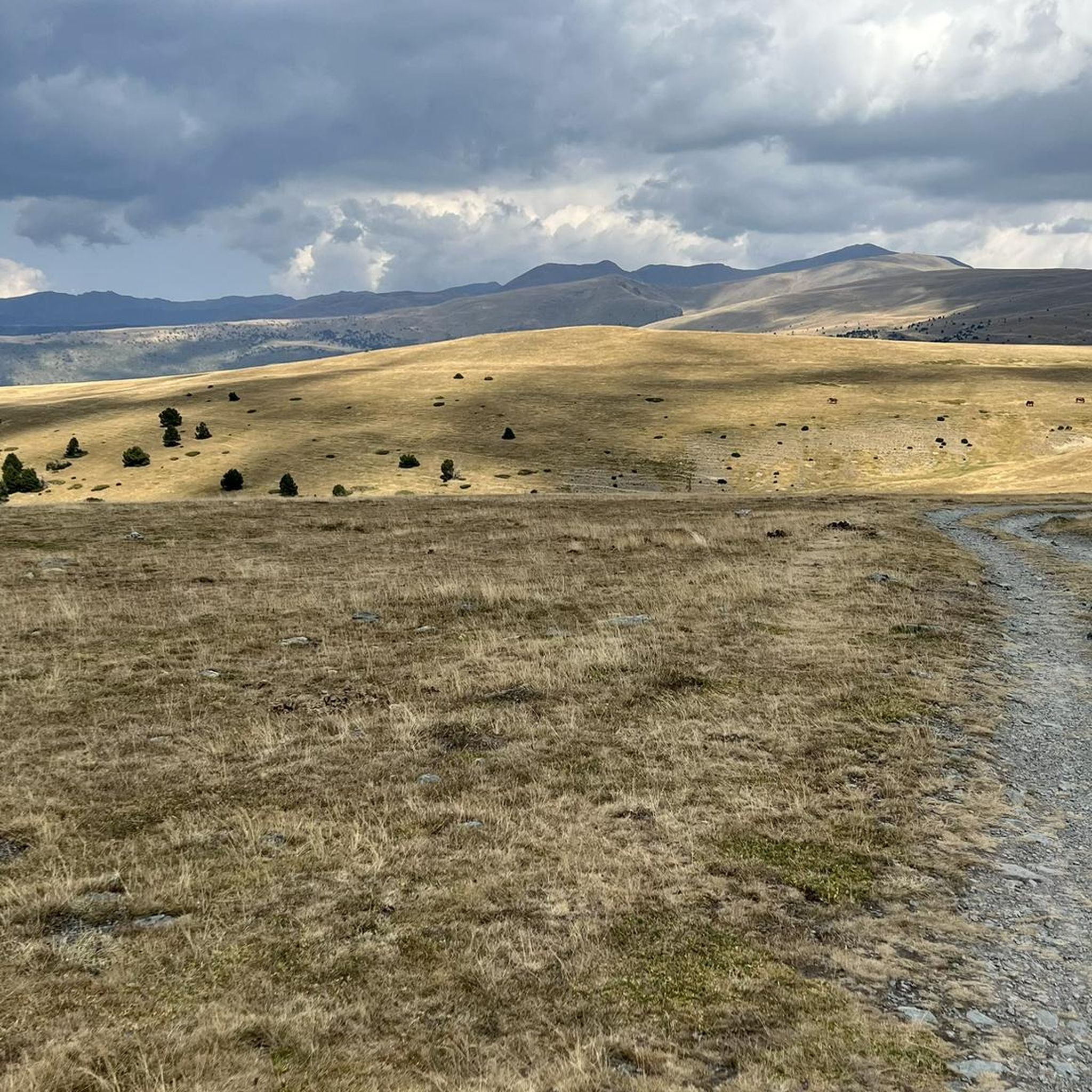
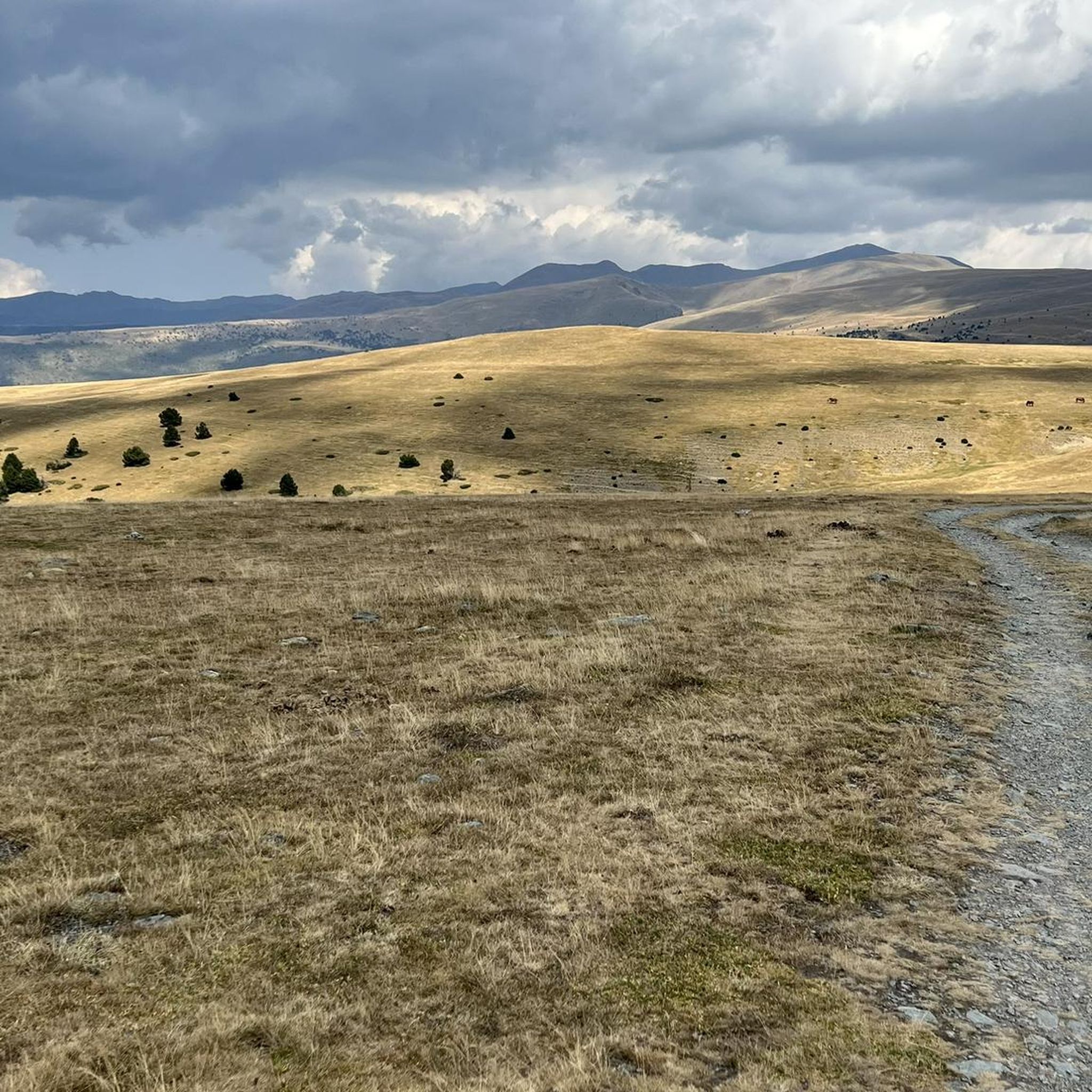
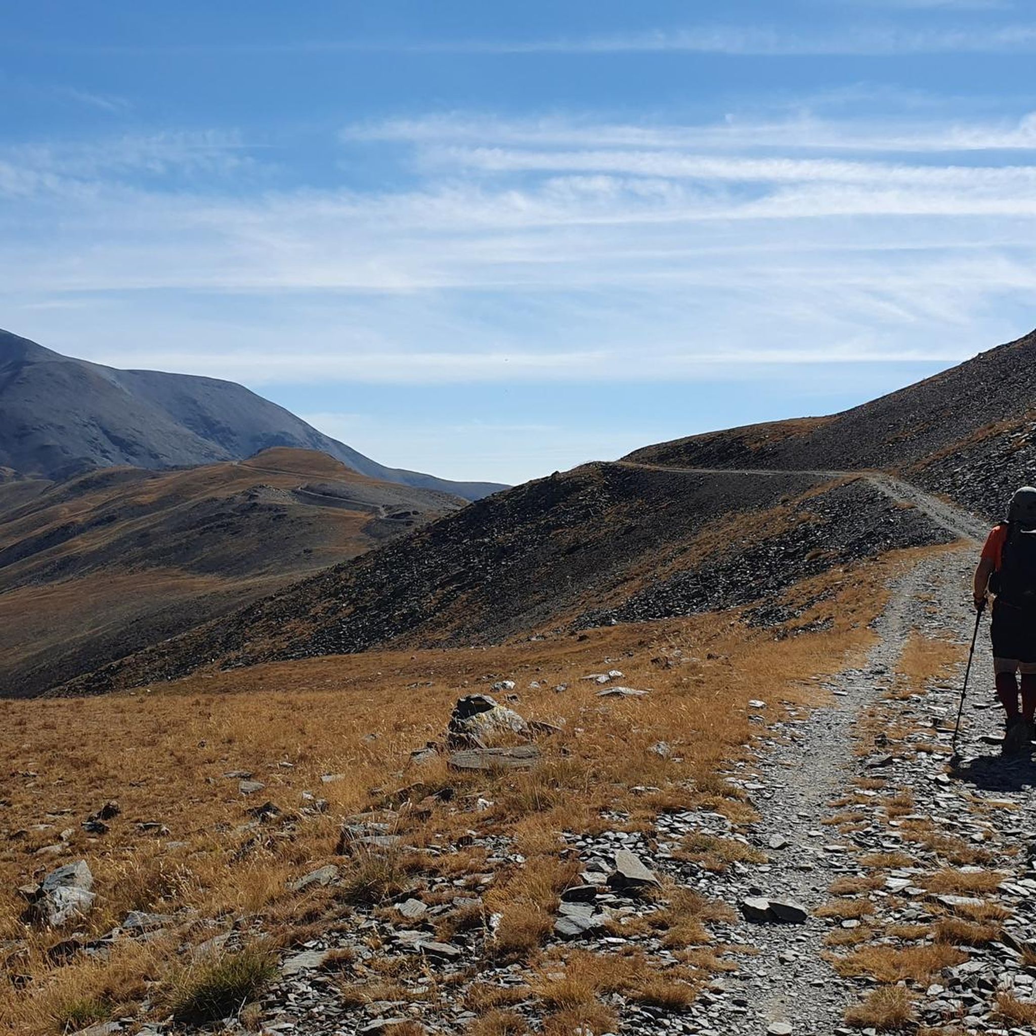
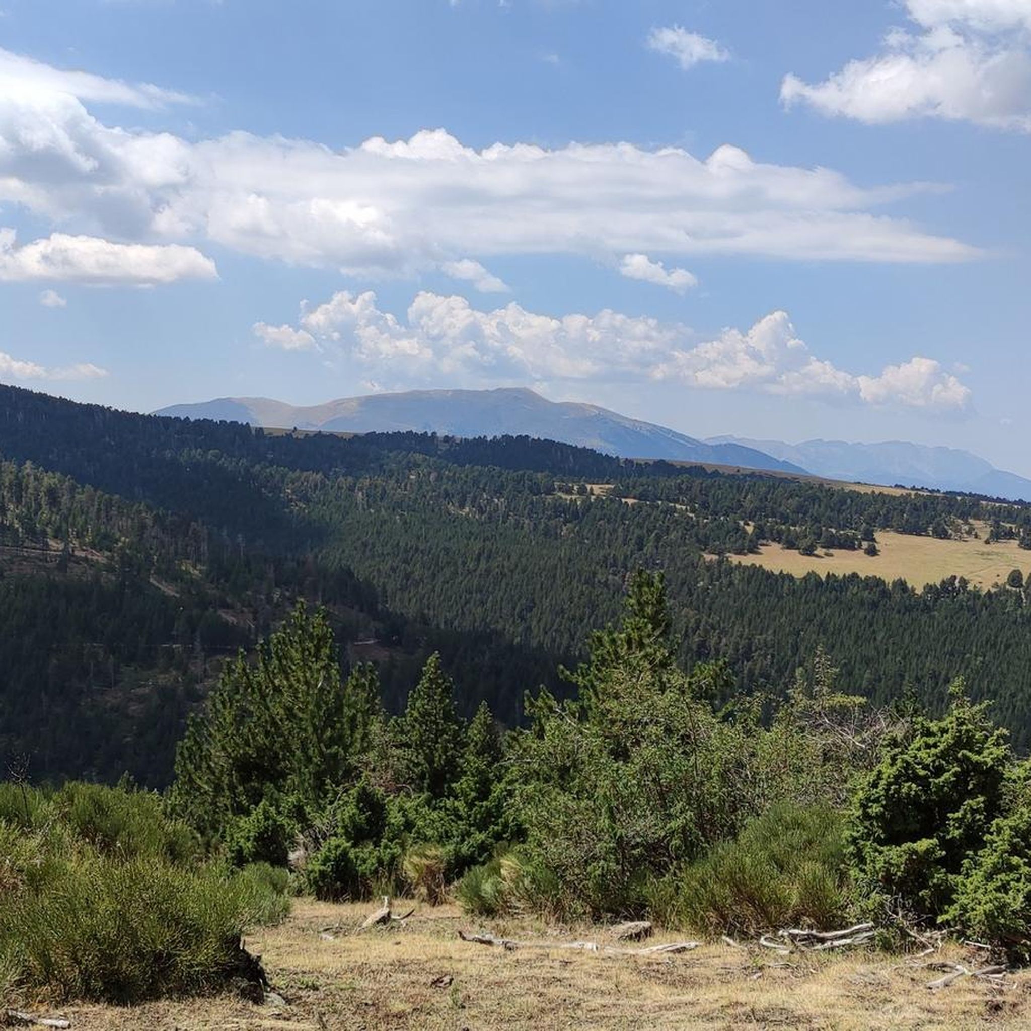
Jogging around Valcebollère offers access to diverse terrain within the Cerdanya valley, set against the backdrop of the Pyrenees. The region features majestic mountains, forests, and green valleys, providing varied environments for running. Trails range from gentle slopes to more challenging ascents, with mountain forests offering shaded routes and higher altitudes providing expansive views. This area is characterized by its well-preserved natural environments, suitable for different fitness levels.
Best jogging routes around Valcebollère
- The most popular jogging route is Núria…
Last updated: June 22, 2026
52
runners
23.3km
03:23
710m
710m
Hard run. Very good fitness required. Sure-footedness, sturdy shoes and alpine experience required.
42
runners
8.43km
00:53
110m
110m
Moderate run. Good fitness required. Mostly paved surfaces. Suitable for all skill levels.

Sign up for free
35
runners
4.67km
00:31
80m
80m
Easy run. Great for any fitness level. Mostly paved surfaces. Suitable for all skill levels.
24
runners
64.3km
09:46
3,190m
3,190m
Hard run. Very good fitness required. Sure-footedness, sturdy shoes and alpine experience required.
21
runners
10.4km
01:24
390m
390m
Hard run. Very good fitness required. Mostly paved surfaces. Suitable for all skill levels.
Get access to more routes and recommendations from other explorers.
Sign up for free
Already have an account?
Our route recommendations are based on thousands of hikes, rides, and runs completed by other people on komoot.
Start today with a free account
Your next adventure awaits.
Login or Signup


Tips from the Community

With a gravel bike it's brutal!!! The views up there are incredible 😍
0
0

Access to the site is restricted in summer by vehicle, and a reserved spot is required for €5. Overnight parking is not permitted.
1
0

The parking area in Fontalba, with a fee during the summer, is the optimal starting point for those who wish to start conquering 3000 meter peaks, starting with Puigmal. This route is not only accessible and direct, but also provides stunning scenery, making it the ideal choice for aspiring mountaineers.
1
0

A few cattle graze comfortably along the green slopes of Fontalba. Drivers will find a dusty parking lot here, which has to be fought for over numerous serpentines. From here you can descend to Nuria via the mountainsides or choose the more strenuous route via the Puigmall.
1
0

The puig de Dòrria, at 2547 meters above sea level, offers a magnificent panorama of Cerdanya.
1
0

Recommended gravel bike. Refrain from going with carbon wheels. Bad asphalt
4
0

Steepest in the bottom. And you are covered by forest most of the climb. Gives a bit of shade from the sun.
1
1

Spectacular! A demanding and long climb, with asphalt in poor condition, but the views at the top are brutal. Ideal in gravel
0
1
Frequently Asked Questions
How many running routes are available around Valcebollère?
There are over 200 running routes around Valcebollère, offering a wide variety of options for all skill levels. This includes 12 easy routes, 109 moderate routes, and 108 difficult routes, ensuring there's a trail for every runner.
What kind of terrain can I expect on the jogging trails in Valcebollère?
Jogging trails in Valcebollère offer diverse terrain within the Cerdanya valley, set against the stunning backdrop of the Pyrenees. You'll find everything from gentle slopes and shaded mountain forests to more challenging ascents and high-altitude paths with expansive panoramic views. The region is known for its well-preserved natural environments.
Are there any easy or beginner-friendly running routes in the area?
Yes, Valcebollère offers several easy running routes suitable for beginners or those looking for a less strenuous run. One popular option is the Coll de Lluç loop from Sainte-Léocadie, which is 4.7 km long with gentle slopes and can typically be completed in about 30 minutes.
Can I find long-distance running trails around Valcebollère?
Absolutely. For those seeking a longer challenge, Valcebollère and its surroundings offer extensive routes. A notable long-distance option is the Coma Morera Peak – Coma Morera Summit loop from Err, which spans over 65 km and features significant elevation changes, making it a demanding but rewarding experience for experienced trail runners.
Are there any running routes with scenic viewpoints or natural attractions?
Many running routes in the Valcebollère area pass by or lead to stunning natural attractions and viewpoints. For example, you might encounter the beautiful Salt del Grill waterfall or enjoy panoramic vistas from the Núria Viewpoint. The region's Pyrenean scenery ensures breathtaking views throughout your run.
What do other runners enjoy most about jogging in Valcebollère?
The running routes in Valcebollère are highly rated by the komoot community, with an average score of 4.5 stars from over 40 reviews. Runners often praise the diverse forest paths, the majestic Pyrenean mountains, and the green valleys, highlighting the incomparable natural setting and the variety of options for different ability levels.
Are there any circular running routes in Valcebollère?
Yes, many of the running routes around Valcebollère are circular, allowing you to start and finish at the same point. A popular moderate circular route is the Osséja loop from Osséja, which is 7.6 km long and offers varied terrain, typically completed in under an hour.
Is Valcebollère a good destination for family-friendly jogging?
Valcebollère offers a range of trails, including easier options with gentle slopes that can be suitable for families. While specific 'family-friendly' designations for jogging routes aren't always explicit, the presence of well-maintained walking paths in a beautiful natural setting provides opportunities for families to enjoy shorter, less challenging runs together.
What is the best time of year for jogging in Valcebollère?
The Pyrenean region around Valcebollère offers a refreshing jogging experience with its pure and fresh air. While specific best times can depend on personal preference, spring and autumn generally provide pleasant temperatures and stunning natural colors. Summer offers warmer conditions, and higher altitude trails can be particularly enjoyable. Winter jogging is possible, but some routes may be affected by snow and require appropriate gear.
Are there any regulations for jogging with dogs on the trails?
While the region is generally welcoming to outdoor activities, specific regulations for dogs on jogging trails can vary, especially within protected areas like the Catalan Pyrenees Regional Nature Park. It's always advisable to keep dogs on a leash and ensure they do not disturb wildlife or other trail users. Check local signage or park guidelines for the most current information.
Where can I find parking for the running trails in Valcebollère?
Valcebollère serves as a starting point for many walks and hikes, implying that parking facilities are generally available near trailheads or within the village itself. For specific routes, it's often best to check the route details on komoot, as they frequently include information about starting points and nearby parking options.
Are there any routes that offer a significant challenge for experienced runners?
Yes, Valcebollère is an excellent destination for experienced runners seeking a challenge. The region features trails with significant elevation changes and demanding terrain. For instance, the Núria Dam and Sanctuary loop from Planoles is a difficult 23.3 km trail with over 700 meters of elevation gain, taking approximately 3 hours and 22 minutes to complete through a mountainous landscape.
Most popular routes around Valcebollère
Most popular attractions around Valcebollère

Get inspired with the komoot mobile app


Explore more
Browse the best Running Trails & Routes in other regions.
