The 5 Most Amazing Peaks around Saint-Julien-Du-Pinet
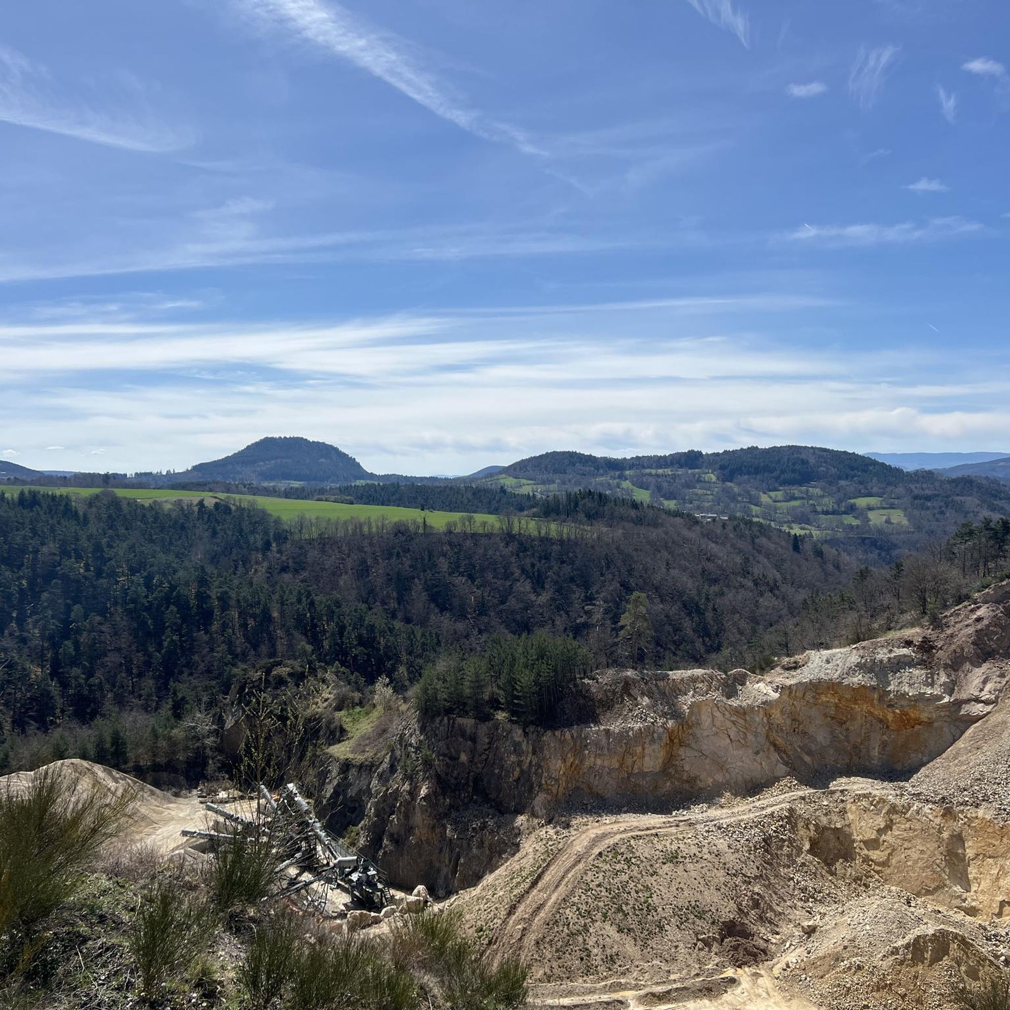
Mountain peaks around Saint-Julien-Du-Pinet are characterized by distinctive volcanic landscapes, featuring ancient volcanic formations known as "sucs." This region in Haute-Loire, France, offers diverse hiking experiences through forests, meadows, and unique geological features. The area's average altitude is around 850 meters, with some summits reaching over 1100 meters. Visitors can explore a variety of trails that provide panoramic views of the Haute-Loire department.
Best mountain peaks around Saint-Julien-Du-Pinet
- The most popular mountain peaks is The Testavoyre, a summit that…
Last updated: July 8, 2026
The Testavoyre
Highlight • Summit
Translated by Google •
Tip by

Mount Miaune
Highlight • Summit
Translated by Google •
Tip by

Sign up now to discover places like this
Get recommendations on the best single tracks, peaks, & plenty of other exciting outdoor places.
Sign up for free
Suc de Bartou
Highlight • Volcano
The small mountains are clearly visible from the village of Chamalières-sur-Loire.
Translated by Google •
Tip by

View from Weiler Raffy (Highest Point of the Via Gebennensis)
Highlight (Segment) • Viewpoint
Translated by Google •
Tip by

Le Ranc
Highlight • Summit
The summit is rather flat, making it difficult to pinpoint the exact "summit."
The view is largely obscured by trees.
Translated by Google •
Tip by

Start today with a free account
Your next adventure awaits.
Login or Signup
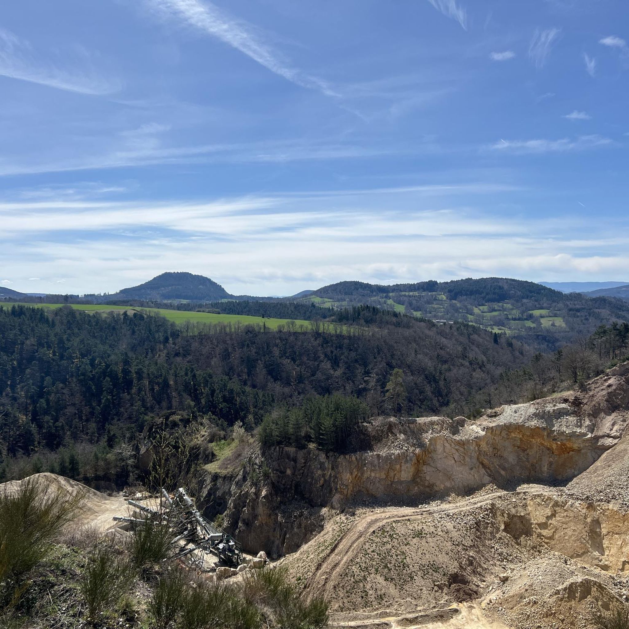
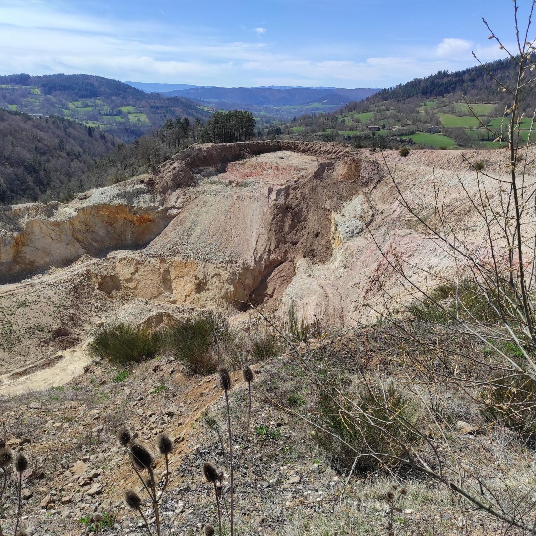
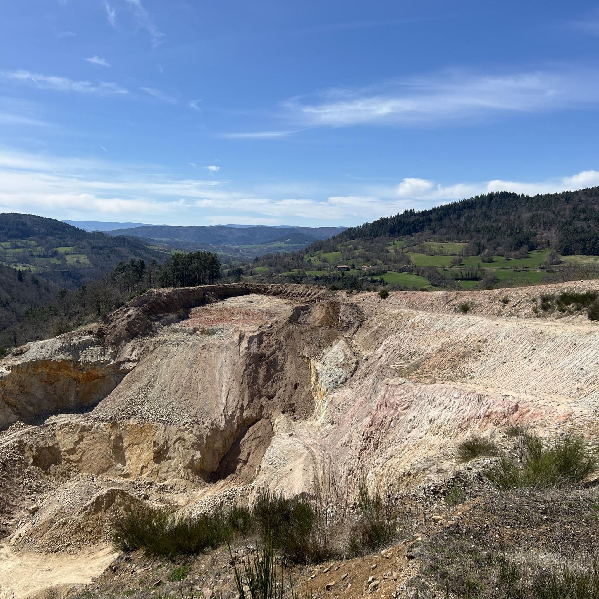
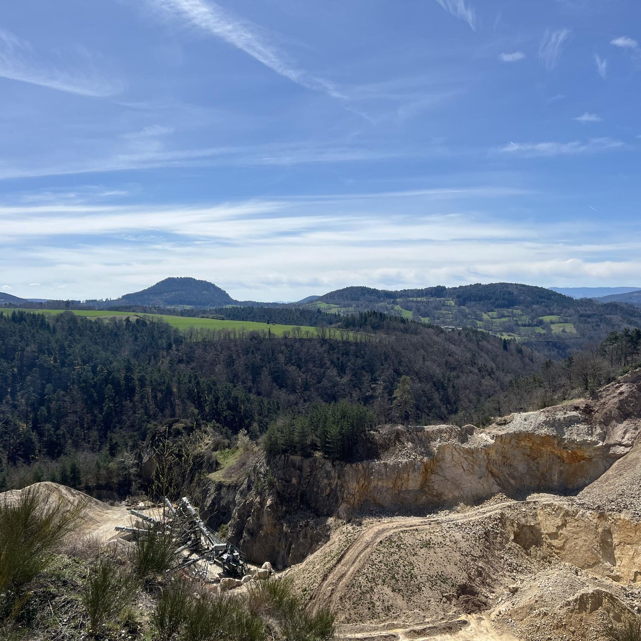

Tips from the Community


Some very muddy sections! Otherwise, a very pleasant route.
0
0

Magnificent viewpoint, the climb is long but on arrival you forget the effort 🤩
0
0

The highest point of Via Gennensis (1276 m). From here you have a fantastic view of the respective valley locations.
0
0

Mont Miaune at 1066 meters above sea level offers a pleasant walk and a nice view.
0
0
Mont Miaune at an altitude of 1,066 meters offers a pleasant walk and a nice viewpoint.
4
0

The Suc de Bartou and the Rocher de Costaros are two small mountains neighboring each other, culminating at almost 1,000 meters and resulting from strong volcanic activity. The small mountains are clearly visible from the village of Chamalières-sur-Loire.
1
0

Frequently Asked Questions
What makes the mountain peaks around Saint-Julien-Du-Pinet unique?
The mountain peaks in this region are distinctive for their volcanic landscapes, featuring ancient volcanic formations known as "sucs." These peaks, like Suc de Jorance and Suc d'Ayme, offer varied hiking experiences through forests and meadows, shaped by past volcanic activity. The area also boasts unique geological sites like the Ravin de Corboeuf, often called the "Colorado Auvergnat," with its striking multi-coloured clay canyons.
Which are some of the most notable mountain peaks to visit in the area?
Some of the most notable peaks include The Testavoyre, which offers magnificent panoramic views of the volcanic landscapes. Other significant peaks are Suc de Jorance, the highest point within Saint-Julien-du-Pinet commune, and Suc d'Ayme, which is part of a marked trail exploring the volcanic terrain. Mount Miaune also provides a pleasant walk and a notable viewpoint.
Are there challenging hiking trails among the peaks in Saint-Julien-Du-Pinet?
Yes, the region offers several challenging trails. For instance, a demanding 24.1 km (15.0 miles) hiking loop starts from Retournac and includes Mount Miaune, taking approximately 7 hours and 25 minutes. Another strenuous option is the 21.0 km loop trail from Bessamorel that includes Suc de Montaigu. You can find more challenging routes in the Hiking around Saint-Julien-Du-Pinet guide.
Can I find family-friendly hiking options around the peaks?
While specific family-friendly trails for the peaks aren't detailed, the region offers a wide array of hiking trails suitable for various difficulty levels. Many paths through forests and meadows are less demanding, providing opportunities for shorter, easier walks. For general hiking options, explore the Hiking around Saint-Julien-Du-Pinet guide, which may include routes suitable for families.
What kind of panoramic views can I expect from the mountain peaks?
Many trails and peaks provide extensive panoramic views of the Haute-Loire department. From The Testavoyre, you can enjoy a magnificent vista of the volcanic landscapes, including the region of Yssingeaux and the mountains of Velay. The View from Weiler Raffy, at 1276 meters, also offers fantastic views of the surrounding valleys.
Are there any historical or cultural sites associated with the peaks?
Yes, Glavenas Foot (1045m) is notable for the Chapel of Glavenas, located on a rocky outcrop. This chapel was originally part of a strong castle built in the 12th century. Though the castle was abandoned, the chapel remains today, offering a glimpse into the area's history.
What is the Ravin de Corboeuf, and how can I visit it?
The Ravin de Corboeuf, often referred to as the "Colorado Auvergnat," is a unique natural site featuring multicoloured clay canyons that contrast strikingly with the volcanic peaks. Several hiking loops allow visitors to experience these unique canyons. You can find routes that include this area in the Hiking around Saint-Julien-Du-Pinet guide, such as the "View of the Corboeuf Ravine – Corboeuf Ravine Viaduct loop from Mézères".
What other outdoor activities can I do near these mountain peaks?
Beyond hiking, the region offers diverse outdoor activities. You can explore mountain biking trails, with options like the "Arrival at Châles – Small dam loop from Retournac" found in the MTB Trails around Saint-Julien-Du-Pinet guide. Running is also popular, with routes such as the "Jorance Peak loop from Le Pertuis" detailed in the Running Trails around Saint-Julien-Du-Pinet guide.
When is the best time to visit the mountain peaks in Saint-Julien-Du-Pinet?
The best time to visit for hiking and outdoor activities is generally from spring to autumn (April to October), when the weather is milder and trails are more accessible. Summer offers pleasant conditions for exploring, though it can be busy. Spring and autumn provide beautiful scenery with fewer crowds. Always check local weather forecasts before your visit.
Are there any specific trails that offer a good overview of the volcanic landscape?
Yes, the marked trail (PR 642) that circles Suc d'Ayme (1137m) and Suc d'Alibert (939m) provides an excellent opportunity to explore the distinctive volcanic terrain of the region. Additionally, trails around Suc de Jorance offer sporting ascents and changing scenery, showcasing the area's volcanic character and panoramic views.
Are the trails around Saint-Julien-Du-Pinet dog-friendly?
Most natural trails in the Saint-Julien-Du-Pinet region are generally dog-friendly, especially if dogs are kept on a leash to protect wildlife and respect other hikers. However, it's always advisable to check specific trail regulations or local signage, particularly in nature reserves or protected areas. Ensure your dog is well-behaved and that you carry waste bags.
What are some of the highest points I can reach in the Saint-Julien-Du-Pinet area?
The highest point within the commune of Saint-Julien-du-Pinet is Suc de Jorance, reaching approximately 1100 meters. Nearby, Suc d'Ayme stands at 1137 meters. For even higher elevations, the View from Weiler Raffy, which is the highest point of the Via Gebennensis, reaches an altitude of 1276 meters and offers extensive views.
Where can I find detailed hiking routes for the peaks and surrounding areas?
You can find a variety of detailed hiking routes, including those for the peaks, in the Hiking around Saint-Julien-Du-Pinet guide. This guide provides information on routes of varying difficulty, distance, and elevation gain, helping you plan your adventure.
Most popular routes around Saint-Julien-Du-Pinet
Most popular attractions around Saint-Julien-Du-Pinet

Get inspired with the komoot mobile app


Explore more
See even more amazing summits around Saint-Julien-Du-Pinet with these guides:
