The best walks and hikes around Retzweiler
4.5
(208)
993
hikers
115
hikes
Hiking around Retzweiler offers trails through gentle valleys and along waterways, characteristic of the Sundgau region. The landscape features open fields, sections of woodland, and views of local landmarks like viaducts. Routes often follow established paths, providing accessible options for exploring the area's natural and cultural points of interest. The terrain is generally mild, with low elevation changes, making it suitable for various activity levels.
Best hiking trails around Retzweiler
- The most popular hiking route is View of the viaduct…
Last updated: July 5, 2026
4.0
(4)
22
hikers
10.3km
02:43
100m
100m
Moderate hike. Good fitness required. Easily-accessible paths. Suitable for all skill levels.
4.0
(3)
11
hikers
5.43km
01:25
40m
40m
Easy hike. Great for any fitness level. Easily-accessible paths. Suitable for all skill levels.

Sign up for free
6
hikers
12.6km
03:16
70m
70m
Moderate hike. Good fitness required. Easily-accessible paths. Suitable for all skill levels.
4.0
(2)
6
hikers
6.18km
01:37
50m
50m
Easy hike. Great for any fitness level. Easily-accessible paths. Suitable for all skill levels.
8
hikers
6.88km
01:49
60m
60m
Easy hike. Great for any fitness level. Easily-accessible paths. Suitable for all skill levels.
Get access to more routes and recommendations from other explorers.
Sign up for free
Already have an account?
Our route recommendations are based on thousands of hikes, rides, and runs completed by other people on komoot.
Start today with a free account
Your next adventure awaits.
Login or Signup

Tips from the Community

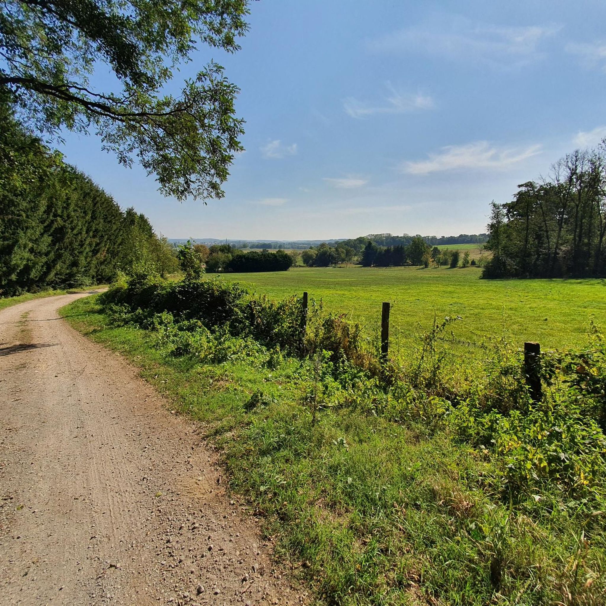
A statue and a few benches arranged in a circle in the woods. Perfect for a short break or snack in the shade.
0
0

No idea why I didn't write anything about this...🤔😅
0
1
Restaurant in Dannemarie on EV6.
0
0

Right next to the Largue cycle path lies this cosy nature centre in Altenach. You will find a short educational walk, a playground, picnic benches and a small exhibition about the nature of Alsace. Ideal to stretch your legs, have a bite to eat or go exploring with children. Free admission and open on Sunday afternoons in the summer months.
7
1
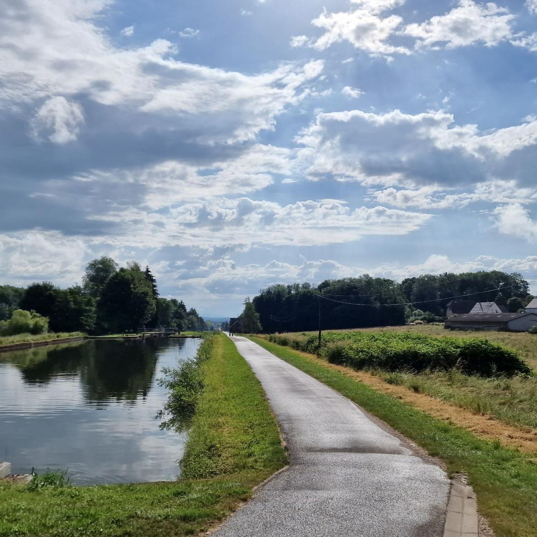
The Port fluvial de Dannemarie is no ordinary marina – it’s an unexpected oasis along the canal, where boats bob gently and herons keep watch. For cyclists, it feels like a little refuge: a place to take a break from the rhythm of your pedals and take on the rhythm of the water. Here you can refill your water bottle, stretch your legs on a bench in the shade or a little further away at the restaurant, or just watch the sun play on the surface of the canal.
9
1
The restaurant Aux 100 Pâtés in Dannemarie is a pasta bar located along the Eurovelo 6 cycle path, near the Dannemarie marina in the Sundgau region. "We offer four types of pasta with over 50 side dishes made fresh on-site. Homemade desserts, hot and cold drinks, and ice cream are also on our menu." But I'm sure you'll find plenty of pasta here.
8
2
The 'Tocsin de l'écologie' in Hagenbach is a striking work of art and symbol of environmental awareness, located along the canal at the towpath. This installation, reminiscent of a warning bell, calls for reflection on the impact of man on nature. For cyclists, it is a surprising and meaningful stop along the route, in the middle of the peaceful Alsatian landscape.
9
0
Frequently Asked Questions
How many hiking trails are available around Retzweiler, and what are their difficulty levels?
There are nearly 100 hiking trails around Retzweiler. The majority are suitable for various fitness levels, with 47 easy routes and 50 moderate routes. There are no difficult trails, making the area accessible for most hikers.
What is the typical length and duration of hikes in the Retzweiler area?
Hikes around Retzweiler vary in length, offering options for both shorter strolls and longer excursions. For example, an easy route like the Viaduct loop from Dannemarie is about 3.3 miles (5.4 km) and takes around 1 hour 25 minutes. Longer, moderate trails, such as the EuroVelo 6 in Dannemarie – Port of Dannemarie loop from Dannemarie, can be up to 7.8 miles (12.6 km) and take over 3 hours.
Are there family-friendly hiking trails suitable for children in Retzweiler?
Yes, the Retzweiler area is well-suited for families due to its generally mild terrain and low elevation changes. Many of the 47 easy routes are ideal for children. A good option is the Maison de la Nature du Sundgau loop from Dannemarie, which is 3.8 miles (6.2 km) and offers a pleasant walk through natural surroundings.
Can I bring my dog on the hiking trails around Retzweiler?
Most trails in the Retzweiler area are dog-friendly, allowing you to enjoy the natural landscape with your canine companion. It's always recommended to keep dogs on a leash, especially near wildlife or agricultural areas, and to check local regulations for specific routes. The gentle paths and woodlands provide a great environment for walks with pets.
Are there circular hiking routes available in Retzweiler?
Yes, many of the trails around Retzweiler are designed as circular routes, allowing you to start and end at the same point without retracing your steps. Examples include the popular View of the viaduct – Maison de la Nature du Sundgau loop from Dannemarie and the shorter Maison de la Nature du Sundgau loop from Altenach.
What kind of scenery or viewpoints can I expect along the hiking trails?
The hiking trails around Retzweiler offer diverse scenery characteristic of the Sundgau region. You can expect gentle valleys, open fields, and sections of woodland. Many routes provide views of local landmarks, including impressive viaducts. The area also features waterways and canals, such as the Canal du Rhône au Rhin, adding to the picturesque landscape.
Are there any interesting landmarks or attractions near the hiking routes?
Yes, several interesting landmarks and attractions are located near the hiking routes. You can explore the Port of Dannemarie, or discover historical engineering marvels like the Valdieu-Lutran lock scale and the Eglingen Lock. The area also features beautiful natural spots like Étang La Belle Île and Füllhorn Pond.
What is the best time of year to go hiking in Retzweiler?
The mild terrain and low elevation changes around Retzweiler make it suitable for hiking during most seasons. Spring and autumn offer pleasant temperatures and vibrant natural colors. Summer is also enjoyable, especially along shaded woodland paths or near waterways. Even in winter, many trails remain accessible for a refreshing walk, though conditions may vary.
What do other hikers enjoy most about the trails in Retzweiler?
The komoot community highly rates the hiking experience in Retzweiler, with an average score of 4.4 stars from over 160 reviews. Hikers often praise the well-maintained paths, the peaceful atmosphere of the gentle valleys and woodlands, and the accessible nature of the routes, which cater to various activity levels. The scenic views of local viaducts are also frequently highlighted.
Is public transport available to access hiking trails in Retzweiler?
While specific public transport links directly to trailheads may vary, the region is generally accessible. Many routes, particularly those starting from larger villages like Dannemarie, are often reachable by local bus services or regional trains. It's advisable to check local transport schedules for the most up-to-date information when planning your trip.
Are there any cafes or places to eat near the hiking routes in Retzweiler?
The villages and towns surrounding Retzweiler, such as Dannemarie, offer various amenities including cafes and restaurants where you can refuel after your hike. Many routes pass through or near these settlements, providing convenient stops for refreshments or a meal. It's a good idea to check opening hours in advance, especially in smaller villages.
Most popular routes around Retzweiler
Most popular attractions around Retzweiler

Get inspired with the komoot mobile app


Explore more
Browse the best Hikes in other regions.
