The best road cycling routes around Saint-Hippolyte-Du-Fort
4.4
(46)
1,595
riders
44
rides
Road cycling routes around Saint-Hippolyte-Du-Fort are situated at the foot of the Cévennes Mountains, offering a diverse landscape for cyclists. The region transitions from Mediterranean garrigue and vineyards to the chestnut forests of the Cévennes foothills. Terrain includes undulating farmland, challenging climbs through hills, and the Vidourle Valley.
Best road cycling routes around Saint-Hippolyte-Du-Fort
- The most popular road cycling route is Loop with the col de la Tribale from Saint-Martial, a 42.6 miles (68.5 km) trail that takes 4…
Last updated: September 5, 2026
3.3
(3)
41
riders
68.5km
04:07
1,730m
1,730m
Hard road ride. Very good fitness required. Mostly well-paved surfaces and easy to ride.
4.7
(9)
286
riders
87.0km
05:05
2,110m
2,110m
Hard road ride. Very good fitness required. Mostly well-paved surfaces and easy to ride.

Sign up for free
5.0
(5)
154
riders
54.9km
03:05
1,180m
1,180m
Hard road ride. Very good fitness required. Mostly well-paved surfaces and easy to ride.
4.3
(8)
224
riders
67.5km
03:31
1,200m
1,200m
Hard road ride. Very good fitness required. Mostly well-paved surfaces and easy to ride.
80
riders
38.0km
01:36
290m
290m
Easy road ride. Great for any fitness level. Mostly well-paved surfaces and easy to ride.
Get access to more routes and recommendations from other explorers.
Sign up for free
Already have an account?
Our route recommendations are based on thousands of hikes, rides, and runs completed by other people on komoot.
Start today with a free account
Your next adventure awaits.
Login or Signup
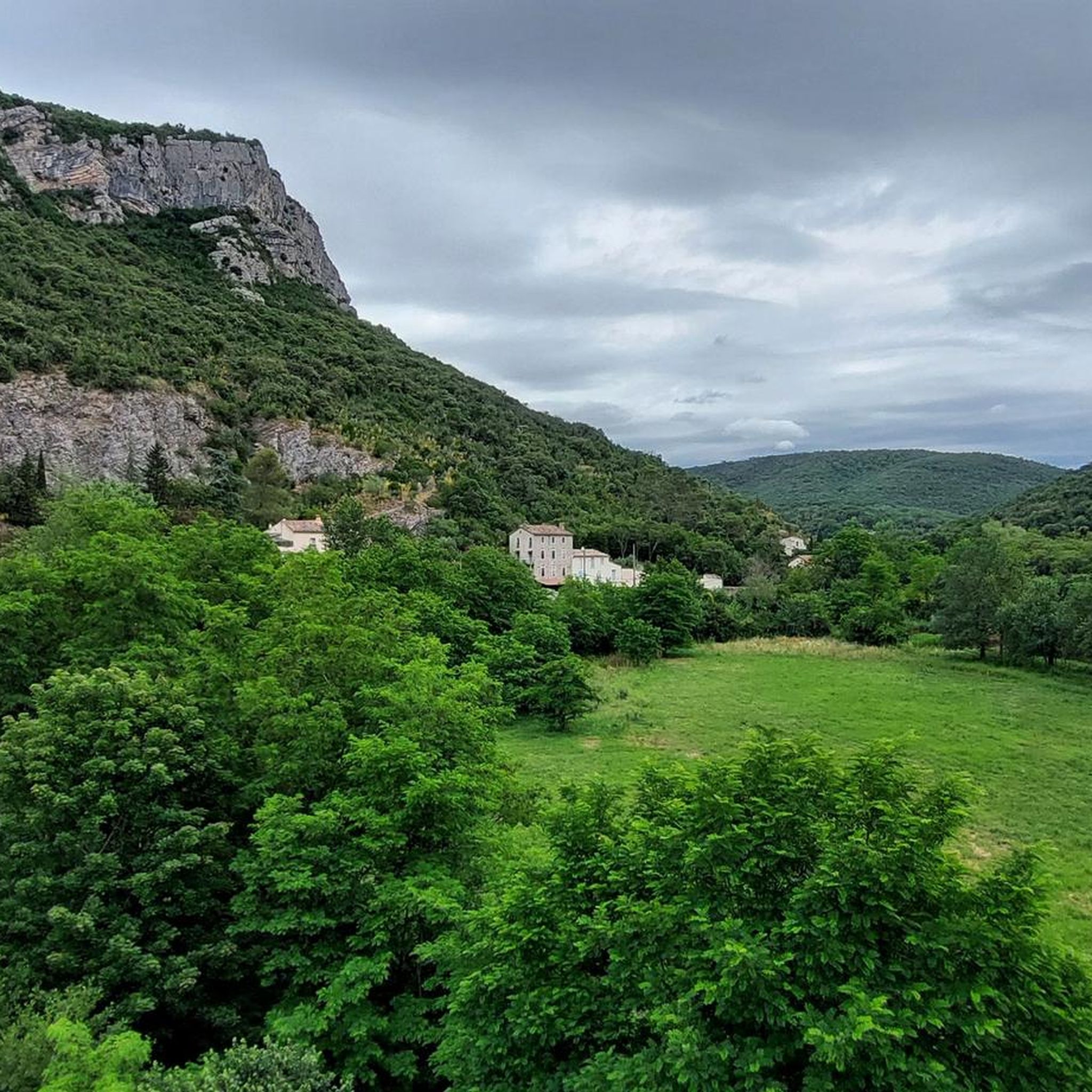
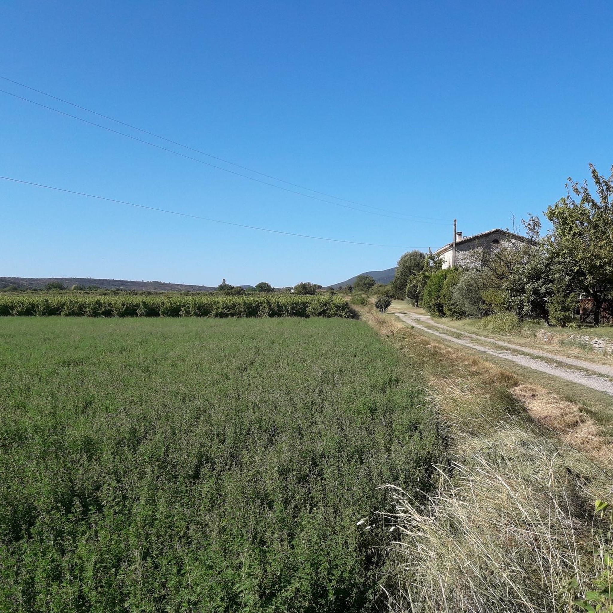

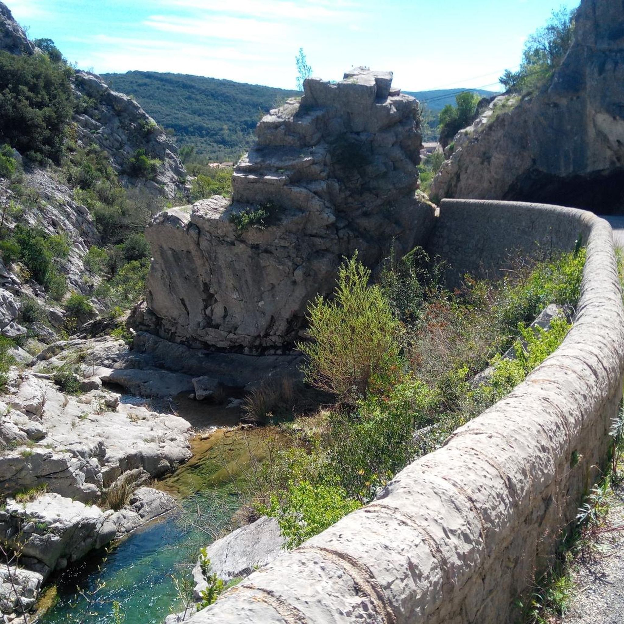
Tips from the Community

Greenway where you can move around safely
0
0


Very beautiful pass offering sumptuous viewpoints and starting points for walks.
0
0

Nice for walks, especially in summer, when you can cool off a bit by hiding from the sun!
1
0

Very nice stretch of cycle path
0
0
remarkable bridge. nice way to arrive in Ganges
0
0

Old railway line from Sumène to Ganges.
1
0
Tunnel of the old railway line from Sumène to Ganges.
2
0
Frequently Asked Questions
How many road cycling routes are available around Saint-Hippolyte-Du-Fort?
There are over 45 road cycling routes around Saint-Hippolyte-Du-Fort, offering a diverse range of options for cyclists. These include 2 easy, 27 moderate, and 16 difficult routes.
What kind of terrain can I expect when road cycling in the Saint-Hippolyte-Du-Fort region?
The region offers a varied landscape, transitioning from the Mediterranean garrigue and vineyards to the chestnut forests of the Cévennes foothills. You'll encounter undulating farmland in the valleys and more challenging climbs as you ascend into the hills, particularly towards the Cévennes Mountains.
Are there challenging road cycling routes for experienced riders?
Yes, the area provides several challenging routes with significant elevation gain. For instance, the Loop with the col de la Tribale from Saint-Martial covers 42.6 miles (68.5 km) with over 1700 meters of ascent. Another demanding option is the Col de l'Asclier – Planque viaduct loop from Saint-Hippolyte-du-Fort, which features a substantial climb to the Col de l'Asclier over 48.2 miles (77.6 km).
Are there any easy or beginner-friendly road cycling routes in the area?
While many routes offer moderate to difficult challenges, there are options suitable for beginners or those seeking a more relaxed ride. The 'green way from Saint-Hippolyte-du-Fort to Quissac' is a notable moderate route, mostly paved with minimal elevation gain, taking approximately two hours. You can find 2 easy routes listed in the komoot guide.
What are the best times of year to go road cycling around Saint-Hippolyte-Du-Fort?
The region is generally pleasant for cycling from spring through autumn. Spring and early summer offer lush green landscapes and comfortable temperatures, while autumn provides beautiful foliage. Summers can be warm, so early morning or late afternoon rides are often preferred during peak season.
What do other road cyclists enjoy most about cycling in Saint-Hippolyte-Du-Fort?
The area is highly rated by the komoot community, with an average score of 4.7 stars from over 29 reviews. Cyclists often praise the diverse terrain, from the garrigue and vineyards to the Cévennes foothills, and the scenic beauty of the Vidourle Valley. The variety of routes catering to different ability levels is also frequently highlighted.
Are there any circular road cycling routes available?
Yes, many of the routes around Saint-Hippolyte-Du-Fort are designed as loops, allowing you to start and finish in the same location. Examples include the Planque viaduct – Col du Lac (605 m) loop from Saint-Hippolyte-du-Fort and the Notre-Dame-de-Londres – Fambetou Pass loop from Saint-Hippolyte-du-Fort.
What natural landmarks or viewpoints can I see along the road cycling routes?
The routes often provide views of the Cévennes Mountains and the Vidourle Valley. You might also pass by the old railway viaduct spanning the Vidourle River. For specific natural highlights, consider visiting the Mer des Rochers or the View of the Gornies spring. The region is also close to significant natural attractions like the Cirque de Navacelles and the Gorges du Tarn.
Are there any interesting historical or cultural attractions near the cycling routes?
Yes, the area is rich in history. You can explore charming nearby villages like Sauve and Saint Martial. Within Saint-Hippolyte-Du-Fort itself, you can discover its 'thirteen fountains' and numerous sundials. The ruins of the Château de Roquefourcade on Puech de Mar mountain also offer an intriguing sight. For specific points of interest, check out the Notre-Dame du Château Chapel or The Bridge of Chance.
Where can I find parking or starting points for road cycling routes in Saint-Hippolyte-Du-Fort?
Many routes, such as the Col de l'Asclier – Planque viaduct loop and the Planque viaduct – Col du Lac (605 m) loop, conveniently start directly from Saint-Hippolyte-Du-Fort, making it easy to find parking within the town or at designated trailheads.
Are there any caves or geological features to explore near the cycling paths?
Yes, the region is known for its geological formations. Le Cengle mountain, across the Vidourle River, features dramatic cliffs and mysterious caves like the Grotte des Camisards. You can also find the Aven of Sauve, a deep sinkhole, and other caves such as Baume de Rédier and Grotte Louis Martin in the vicinity.
Most popular routes around Saint-Hippolyte-Du-Fort
Most popular attractions around Saint-Hippolyte-Du-Fort

Get inspired with the komoot mobile app


Explore more
Browse the best Road cycling routes in other regions.
