The best cycling routes around Mers-Les-Bains
4.4
(1210)
7,011
riders
242
rides
Touring cycling routes around Mers-Les-Bains traverse a coastline characterized by dramatic cliffs and Belle Époque architecture. The region features diverse landscapes, including the low fields of the Hâble d'Ault and the valleys of the Bresle. These routes offer varied terrain, from coastal paths to inland trails, suitable for different cycling preferences. The area provides access to a network of cycling routes that highlight both natural features and historical sites.
Best touring cycling routes around Mers-Les-Bains
- The most popular touring cycling…
Last updated: October 10, 2026
4.1
(53)
245
riders
50.6km
03:11
480m
480m
Hard bike ride. Very good fitness required. Mostly paved surfaces. Suitable for all skill levels.
4.0
(60)
150
riders
24.2km
01:36
210m
210m
Moderate bike ride. Good fitness required. Mostly paved surfaces. Suitable for all skill levels.

4.7
(14)
66
riders
38.7km
02:29
380m
380m
Moderate bike ride. Good fitness required. Mostly paved surfaces. Suitable for all skill levels.
4.5
(68)
393
riders
Moderate bike ride. Good fitness required. Mostly paved surfaces. Suitable for all skill levels.
4.5
(70)
422
riders
78.8km
04:49
360m
360m
Moderate bike ride. Good fitness required. Mostly paved surfaces. Suitable for all skill levels.
Get access to more routes and recommendations from other explorers.
Already have an account?
Our route recommendations are based on thousands of hikes, rides, and runs completed by other people on komoot.
Start today with a free account
Your next adventure awaits.
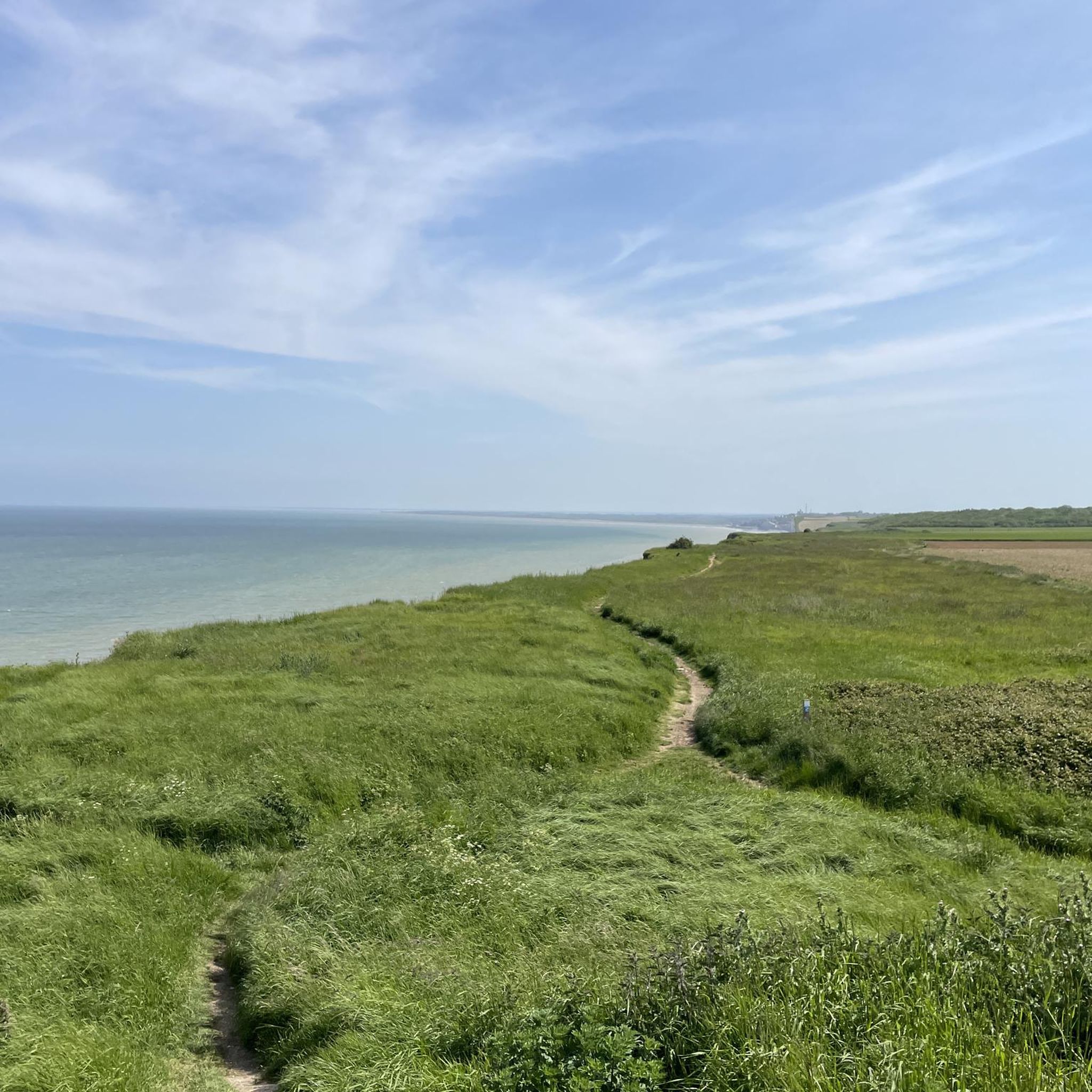
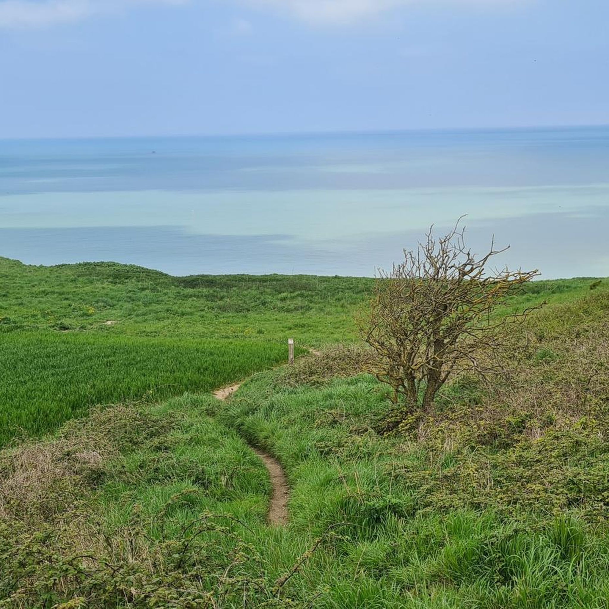
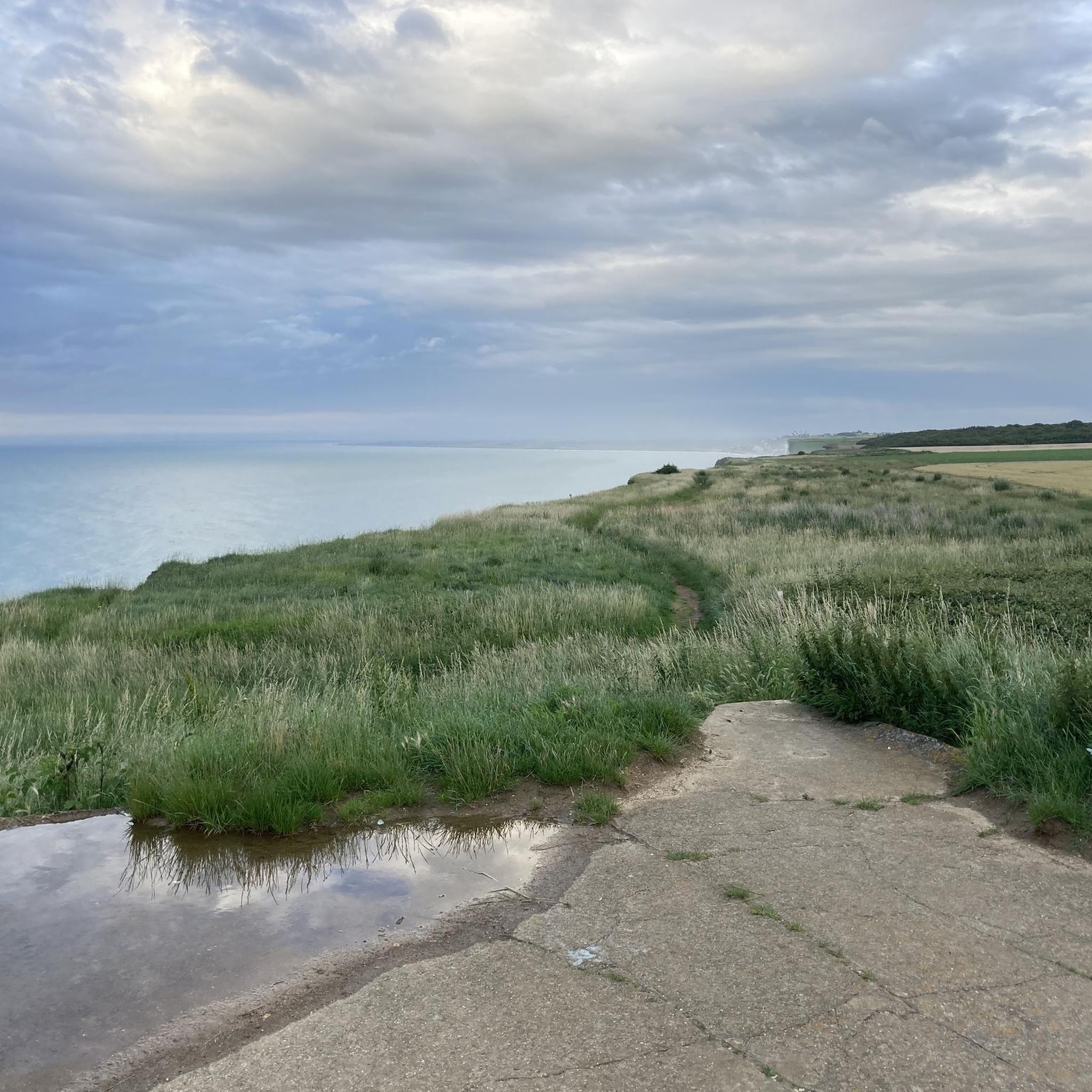
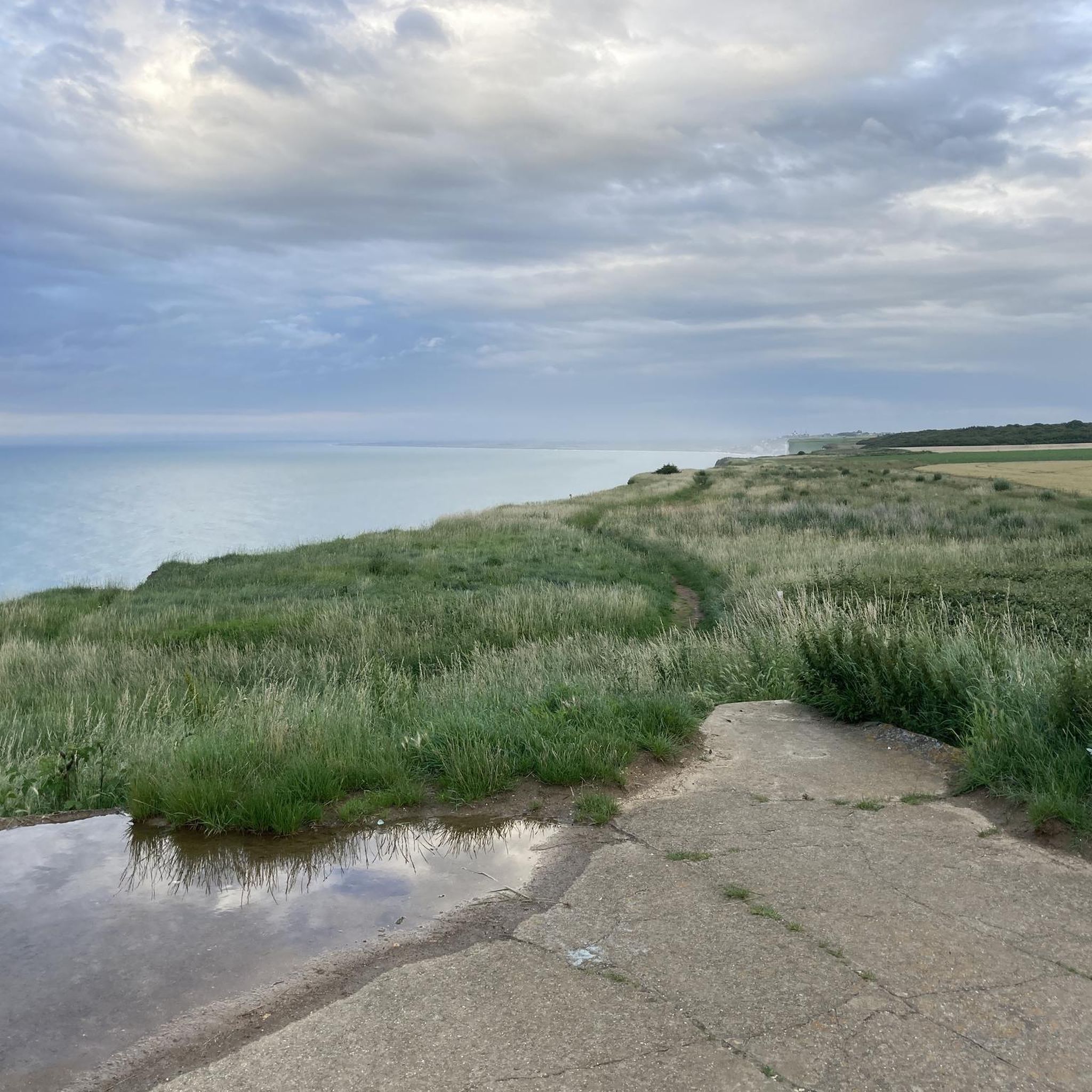

Tips from the Community

It is wonderful to stroll here, to watch the people with the chalk cliffs in the background
0
0

Ideal because you can reserve your spots online in advance and the bikes can come along for 'free'!
0
0

Beautiful views, a magnificent environment, a good electric bike with around 65NM is desirable, or a tough cyclist.
0
0


Hourdel Lighthouse is a lighthouse on the common Cayeux-sur-Mer, it is built on the south side of the Bay of Somme, at the end of the point of Hourdel.
4
0

Steam train from St Valéry, allows you to return to Noyelles station to take a TER
0
0

The church in Ault is a beautiful building. Its interior is simple yet beautiful.
3
0
Frequently Asked Questions
How many touring cycling routes are available around Mers-les-Bains?
There are over 220 touring cycling routes in the Mers-les-Bains area, offering a wide variety of options for different skill levels and preferences. The komoot community has explored these routes over 5,000 times.
What are the general difficulty levels of touring cycling routes in Mers-les-Bains?
The routes around Mers-les-Bains cater to various fitness levels. You'll find approximately 68 easy routes, 117 moderate routes, and 39 more challenging routes, ensuring there's something for every touring cyclist.
Are there any long-distance cycling routes that pass through Mers-les-Bains?
Yes, Mers-les-Bains is a significant point on La Vélomaritime (EuroVelo 4), a major European cycling route. This route allows you to explore the coastline from the Somme to the Baie de Somme, offering picturesque journeys like the 22 km stretch to Cayeux-sur-Mer or the 77 km route to Fort-Mahon-Plage. A longer local option is the Cliffs – View over the cliffs loop from Le Tréport - Mers-les-Bains, which covers over 110 km.
Are there circular touring cycling routes available in Mers-les-Bains?
Yes, many routes are designed as loops. For example, the Cliffs of Ault and Bois de Cise Loop is a moderate 24.2 km path offering views of dramatic cliffs and Belle Époque architecture. Another option is The cliffs of Criel by the château d'Eu — loop from Eu, a 38.7 km trail through coastal cliffs and historical areas.
Are there family-friendly or beginner touring cycling routes in Mers-les-Bains?
Absolutely. Many routes are suitable for families and beginners, especially those on paved surfaces. The "Chemin Entre Verre et Mer" (formerly "Chemin des Etangs") is an 18 km route along the Bresle Valley, accessible for cyclists, pedestrians, and individuals with reduced mobility, offering scenic views of ponds. The Cycle route from Le Tréport to Eu – Le Tréport loop from Le Tréport is another easy option at just under 10 km.
What scenic viewpoints or natural features can I expect to see on touring cycling routes around Mers-les-Bains?
The region is renowned for its dramatic coastal landscapes. You can enjoy stunning panoramic views from the Ault Chalk Cliffs and La Cise Cliff. Inland, the Hâble d'Ault, an ancient lagoon, is a haven for bird species, offering a unique ecological attraction. Don't miss the charming Bois de Cise with its Art Deco heritage.
What historical or cultural attractions can I explore while cycling near Mers-les-Bains?
Mers-les-Bains itself is famous for its unique and colorful Belle Époque houses and beachfronts, adding a cultural dimension to your ride. The town, along with neighboring Le Tréport, is considered a 'jewel' of this architectural era. You can also visit Saint Martin's Church.
What do other touring cyclists enjoy the most about touring cycling in Mers-les-Bains?
The area is highly rated by the komoot community, with an average score of 4.4 stars from over 800 reviews. Cyclists often praise the dramatic coastal cliffs, the distinctive Belle Époque architecture, and the diverse landscapes that combine coastal paths with tranquil inland trails.
Are there any specific routes that showcase the impressive cliffs of the region?
Yes, the Seaside Cycle Route: Cliffs of Criel Loop is a 50.6 km trail specifically designed to showcase the impressive coastal cliffs around Criel. The Cliffs of Ault and Bois de Cise Loop also offers stunning cliff views.
What is the best time of year for touring cycling in Mers-les-Bains?
The region offers pleasant cycling conditions throughout much of the year. Spring and autumn generally provide milder temperatures and fewer crowds, ideal for exploring the coastal and inland routes. Summer is also popular, though coastal areas can be busier.
Is it possible to combine cycling with public transport in Mers-les-Bains?
While specific information on bike-friendly public transport options directly to Mers-les-Bains is limited, the town's connection to major cycling networks like La Vélomaritime suggests a growing infrastructure for cyclists. It's advisable to check with local transport providers for their current policies on carrying bicycles.
Are there any less crowded cycling routes near Mers-les-Bains?
To find less crowded routes, consider exploring the inland trails, such as those along the Bresle Valley, like the "Chemin Entre Verre et Mer." These often offer a more tranquil experience compared to the popular coastal sections of La Vélomaritime, especially during peak season.
Most popular routes around Mers-Les-Bains
Most popular attractions around Mers-Les-Bains

Get inspired with the komoot mobile app


Explore more
Browse the best Cycling routes in other regions.
