The best running trails around Guigneville-Sur-Essonne
4.3
(147)
3,810
runners
303
runs
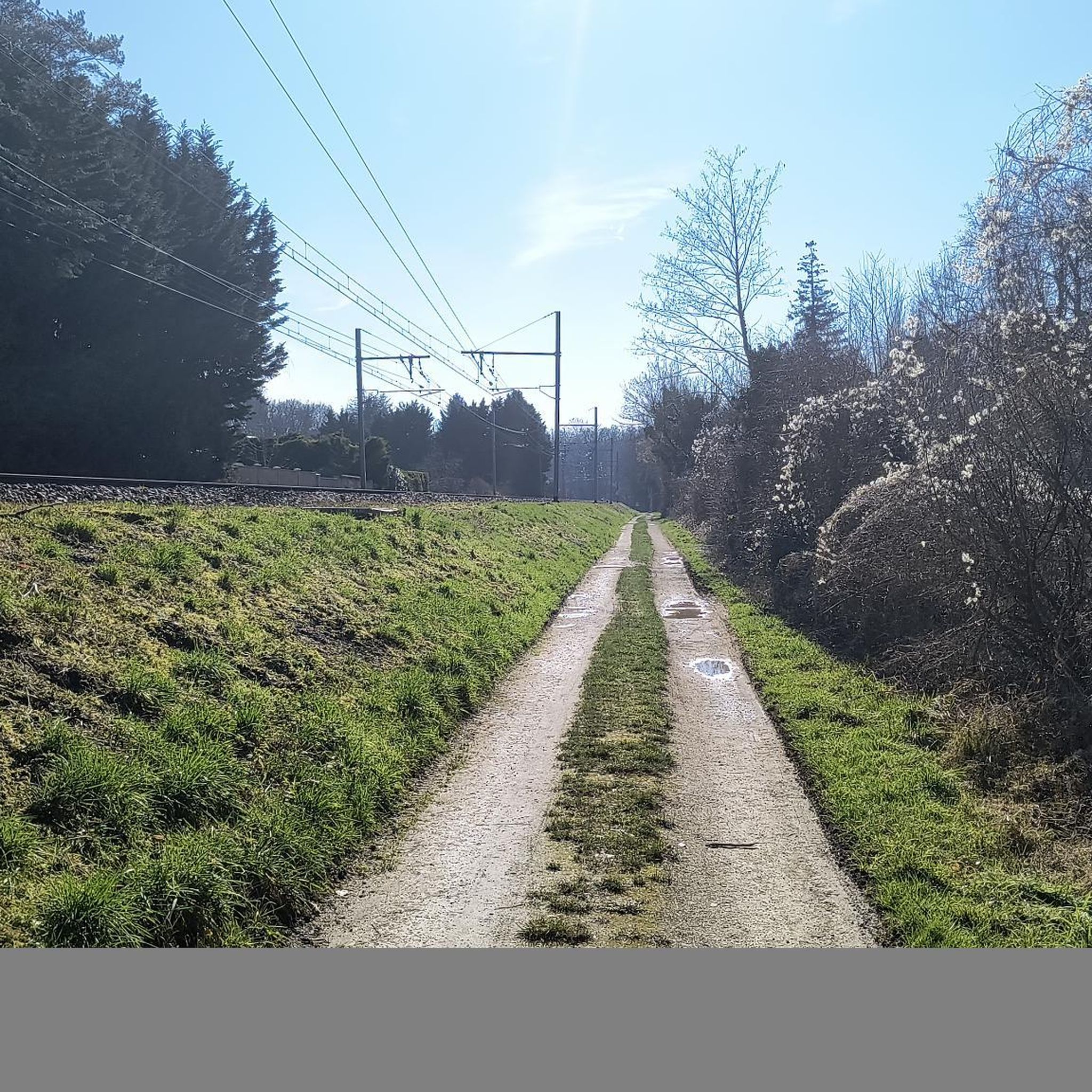
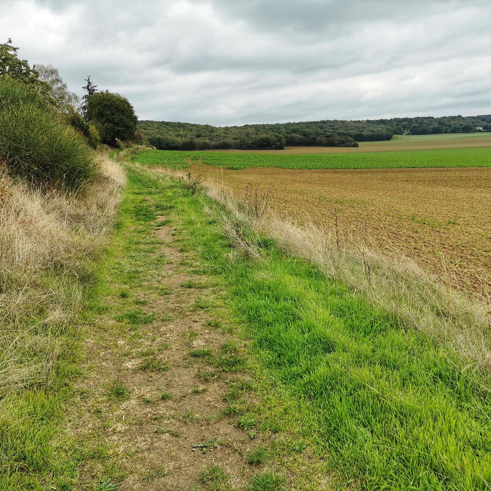
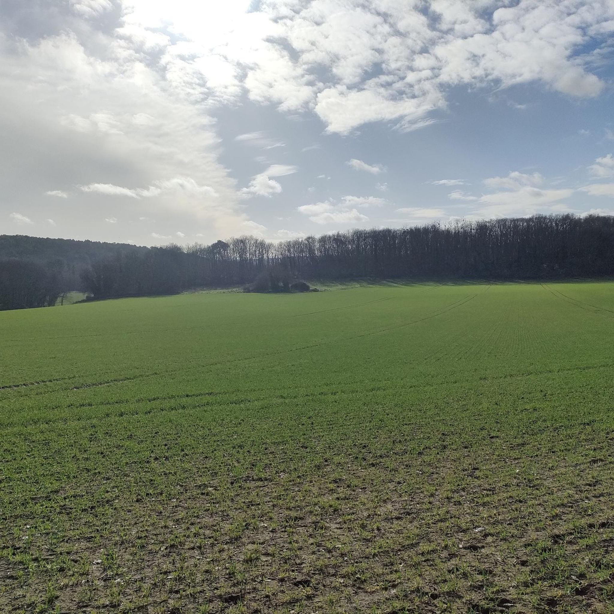
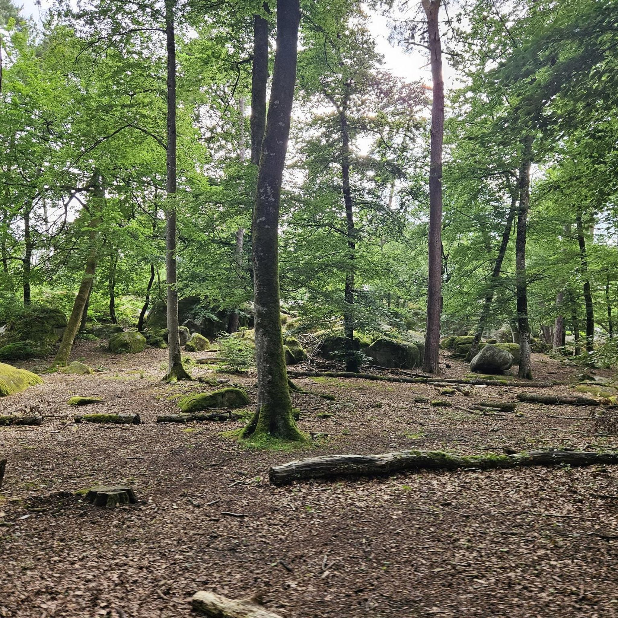
Jogging around Guigneville-Sur-Essonne offers diverse terrain within the Gâtinais Français Regional Natural Park. The region features the Essonne Valley with its winding paths and open spaces, alongside extensive agricultural plains providing relatively flat routes. Wooded areas and hillsides introduce varied topography, including inclines and descents, suitable for different running preferences.
Best jogging routes around Guigneville-Sur-Essonne
- The most popular jogging route is Menhir dit la Roche à Gentil loop from La Ferté-Alais, a 14.9 miles (24.1 km) trail that takes…
Last updated: July 4, 2026
20
runners
14.5km
01:32
80m
80m
Moderate run. Good fitness required. Mostly paved surfaces. Suitable for all skill levels.
5.0
(1)
8
runners
8.45km
00:54
50m
50m
Moderate run. Good fitness required. Mostly paved surfaces. Suitable for all skill levels.

Sign up for free
5.0
(1)
7
runners
31.9km
03:51
490m
490m
Hard run. Very good fitness required. Mostly accessible paths. Some sure footedness required.
3
runners
8.65km
01:00
100m
100m
Moderate run. Good fitness required. Mostly paved surfaces. Suitable for all skill levels.
3
runners
14.9km
01:35
120m
120m
Moderate run. Good fitness required. Mostly paved surfaces. Suitable for all skill levels.
Get access to more routes and recommendations from other explorers.
Sign up for free
Already have an account?
Our route recommendations are based on thousands of hikes, rides, and runs completed by other people on komoot.
Start today with a free account
Your next adventure awaits.
Login or Signup

Tips from the Community

Magnificent technical single because of the quality of the path. After the effort the break is deserved from the point of view
0
0

If you like places that stay muddy for a long time, this is the place for you!
0
0
This little path is nice, it's surprising when you've been riding for several km along the edge of the fields!
0
0
Taken in the direction of the climb: thanks for the assistance! But nice all the same!
0
0

PAS DE TECNIQUE PARTICULIERE / ZONE SANS COTE NI DESCENTE
1
0
technical and fast descent at the end of the race
0
0
Beginning of the Descent with Ratchets and wooden log steps followed by pebbles and finished on rapids
0
0

A very small corner of Brittany in Essonne...
0
0
Frequently Asked Questions
How many running routes are available in Guigneville-sur-Essonne?
There are over 280 running routes around Guigneville-sur-Essonne, offering a wide variety of options for all fitness levels. These include easy, moderate, and difficult trails through the diverse landscapes of the Gâtinais Français Regional Natural Park.
What kind of terrain can I expect on jogging routes in this area?
Jogging routes in Guigneville-sur-Essonne feature a diverse mix of terrain. You'll find scenic riverside paths along the Essonne River, open agricultural plains, and undulating wooded hillsides. The region's location within the Gâtinais Français Regional Natural Park means a rich tapestry of forests, limestone grasslands, and even wetlands, providing varied surfaces and landscapes for your run.
What do other runners think about the trails in Guigneville-sur-Essonne?
The running routes in Guigneville-sur-Essonne are highly rated by the komoot community, with an average score of 4.3 stars from over 100 reviews. More than 3000 runners have explored the varied terrain, often praising the natural beauty and well-maintained paths.
Are there easy running routes suitable for beginners or a relaxed jog?
Yes, there are several easy and moderate running routes perfect for beginners or those looking for a relaxed jog. For a more accessible run directly from Guigneville-sur-Essonne with gentle elevation changes, consider the Les Monteaux loop from Guigneville-sur-Essonne, which is a moderate 5.2 miles (8.4 km) path.
Are there longer or more challenging running trails for experienced runners?
Absolutely. For experienced runners seeking a challenge, the region offers several difficult routes with significant elevation gain. One such option is the Menhir dit la Roche à Gentil loop from La Ferté-Alais, a difficult 14.9 miles (24.1 km) trail that takes nearly 3 hours to complete through varied landscapes.
Are there any circular running routes in Guigneville-sur-Essonne?
Many of the running routes in the area are circular, allowing you to start and finish at the same point. For example, the Running loop from La Ferté-Alais is a moderate 8.6 km (5.4 miles) circular route, perfect for exploring the local surroundings.
Are there any interesting landmarks or natural features to see along the running routes?
Yes, the region is rich in natural beauty and historical points of interest. You might encounter features like the Essonne River valley, diverse wetlands, and agricultural plains. For specific landmarks, consider routes that pass near attractions such as the Château du Mesnil-Voisin or the Obelisk of Saint-Vrain. The La Pierre Levée Dolmen loop from La Ferté-Alais, for instance, leads through the countryside and past historical landmarks.
Are there any running routes that pass by lakes or ponds?
While the Essonne River is a prominent feature, the area also has wetlands and smaller bodies of water. You can find routes that bring you close to natural highlights like the Fontenay-le-Vicomte Marsh or the Plateau and Pond in the Forest of Champcueil, offering serene views during your run.
Are there family-friendly jogging routes in the area?
Many of the easier and moderate routes are suitable for families, especially those with relatively flat terrain or gentle inclines. The extensive network of 'chemins de promenade' (walking paths) throughout Guigneville-sur-Essonne and the Gâtinais Français Regional Natural Park provides accessible options for a family jog.
Can I bring my dog on the running trails?
Generally, dogs are welcome on many of the outdoor trails in the Gâtinais Français Regional Natural Park, but it's always best to keep them on a leash, especially in sensitive natural areas or near agricultural lands. Please respect local signage and ensure your dog doesn't disturb wildlife or other trail users.
What is the best time of year to go jogging in Guigneville-sur-Essonne?
The region is beautiful year-round, but spring and autumn offer particularly pleasant conditions for jogging with mild temperatures and vibrant natural scenery. Summer can be warm, so early morning or late evening runs are often preferred. Winter runs are also possible, with the landscape taking on a different, serene charm.
Are there options for parking near the running trails?
Yes, many trailheads and villages in and around Guigneville-sur-Essonne, such as La Ferté-Alais and Vayres-sur-Essonne, offer public parking facilities. It's advisable to check specific route details on komoot for recommended starting points and parking information.
Most popular routes around Guigneville-Sur-Essonne
Most popular attractions around Guigneville-Sur-Essonne

Get inspired with the komoot mobile app


Explore more
Browse the best Running Trails & Routes in other regions.
