The best walks and hikes around Saint-Guillaume
4.5
(1967)
17,357
hikers
290
hikes
Hiking around Saint-Guillaume offers diverse landscapes within the Isère department, characterized by mountainous terrain and proximity to the Vercors Regional Nature Park. The region features a network of trails traversing forests, river valleys, and elevated ridges. Hikers can find routes ranging from gentle paths to more challenging ascents, often leading to panoramic viewpoints. Natural features include lakes and gorges, contributing to varied hiking experiences.
Best hiking trails around Saint-Guillaume
- The most popular hiking route is Vercors – East Balcony of…
Last updated: August 25, 2026
5.0
(5)
44
hikers
10.9km
04:28
650m
650m
Moderate hike. Good fitness required. Mostly accessible paths. Sure-footedness required.
4.6
(12)
119
hikers
9.48km
03:15
390m
390m
Moderate hike. Good fitness required. Mostly accessible paths. Sure-footedness required.

Sign up for free
5.0
(1)
22
hikers
13.6km
06:37
1,020m
1,020m
Hard hike. Very good fitness required. Sure-footedness, sturdy shoes and alpine experience required.
4.0
(2)
21
hikers
9.97km
04:22
710m
710m
Moderate hike. Good fitness required. Mostly accessible paths. Sure-footedness required.
5.0
(5)
16
hikers
10.6km
05:32
920m
920m
Hard hike. Very good fitness required. Mostly accessible paths. Sure-footedness required.
Get access to more routes and recommendations from other explorers.
Sign up for free
Already have an account?
Our route recommendations are based on thousands of hikes, rides, and runs completed by other people on komoot.
Start today with a free account
Your next adventure awaits.
Login or Signup
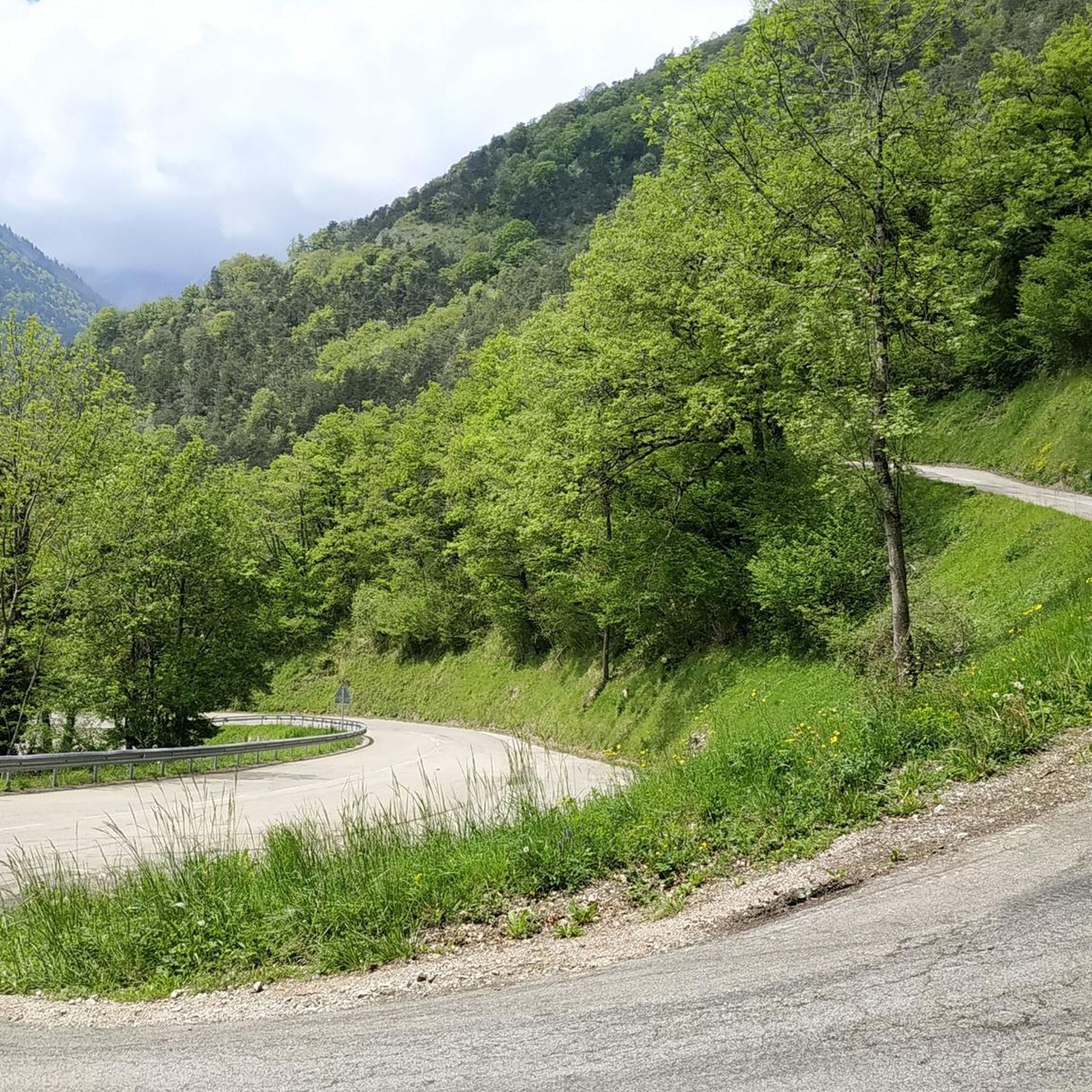
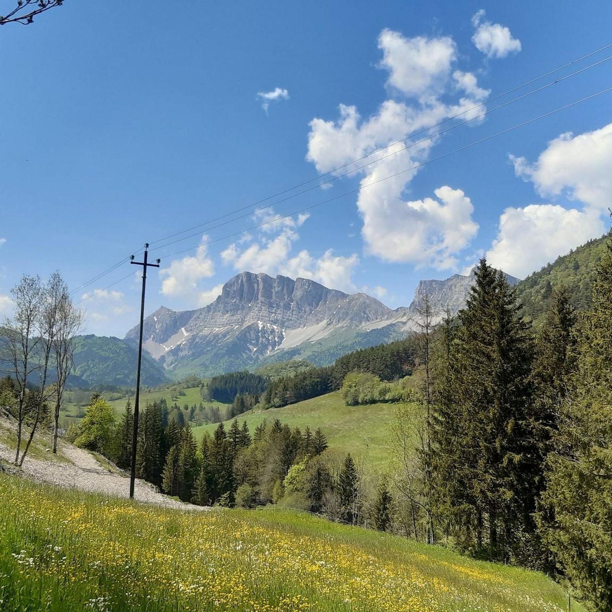
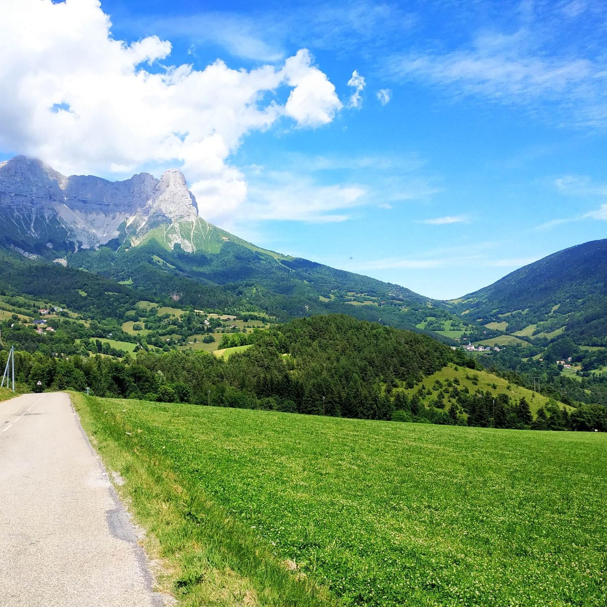
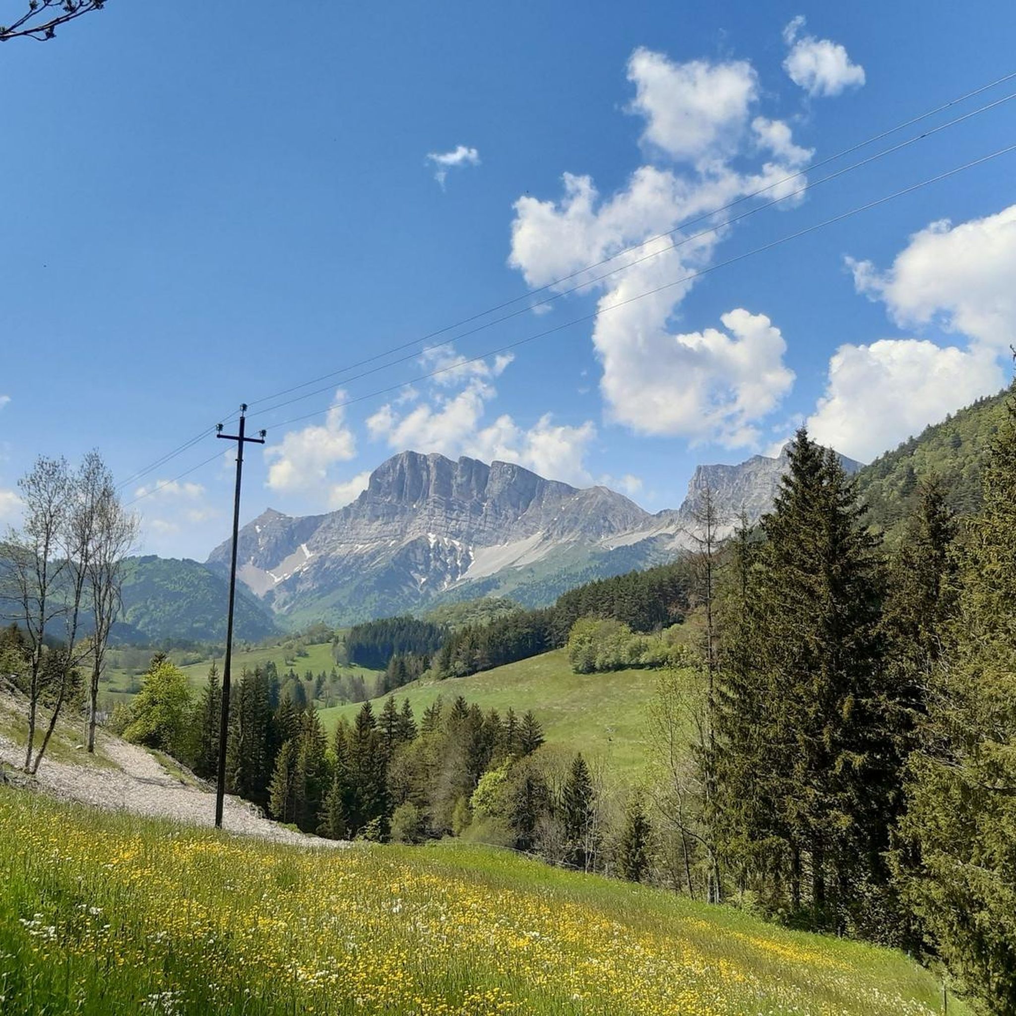


Tips from the Community

The Col des Deux is not located in the Bauges Massif but in the Vercors between the Col de l’Arzelier and the Col de l’Allimas. This trilogy is well known to cyclists in the Grenoble metropolitan area.
0
0


The Col des Deux, perched in the Bauges massif, offers a breathtaking panorama of the surrounding mountains and alpine valleys. As you climb the slopes, you can enjoy spectacular views of the peaks and the pure mountain air.
0
1

Technically one of the easiest transitions
0
0

A pass with a very beautiful view of the steep eastern ridge edge as far as the Grand Veymont in the south and the Grande Moucherolle in the north. The two highest peaks of the Vercors from one point...
2
0
Sensational view of the steep flank of the entire ridge up to the Grand Veymont.
1
0

Magnificent crossing point of the Eastern Vercors barrier - 1839 m.
1
0
Frequently Asked Questions
How many hiking trails are available around Saint-Guillaume?
Saint-Guillaume offers a wide selection of hiking opportunities, with over 280 routes available. These range from easy strolls to more challenging ascents, catering to various fitness levels.
What are the typical difficulty levels for hikes in Saint-Guillaume?
The trails around Saint-Guillaume offer a good mix of difficulties. You'll find approximately 57 easy routes, 151 moderate trails, and 78 more difficult options, ensuring there's something for every hiker.
What kind of terrain can I expect on the hiking trails?
The region is characterized by its diverse mountainous terrain, featuring lush forests, river valleys, and elevated ridges. You can expect paths that traverse varied landscapes, from gentle forest floors to rocky ascents, often leading to panoramic viewpoints over the Vercors region.
Are there any circular hiking routes in Saint-Guillaume?
Yes, many of the trails around Saint-Guillaume are circular, offering convenient starting and ending points. For example, the Vercors – East Balcony of the Vercors loop from Saint-Andéol is a popular moderate circular route that showcases the region's beauty.
What natural features or landmarks can I see while hiking?
Hikers can discover a wealth of natural beauty, including the magnificent Blue Lake, the dramatic Gorges de la Bourne, and the impressive Grottes de Choranche. The area also boasts stunning mountain peaks like Grand Veymont and the Astonishing view of Mont Aiguille. The Treffort - La Mira ferry provides access to the Monteynard-Avignonet lake and its famous suspension bridges, including the 180m long Ebron Footbridge.
Are there any challenging hikes for experienced trekkers?
Absolutely. For those seeking a challenge, Saint-Guillaume offers several difficult routes. The Pas Morta – Toller Blick loop from Saint-Andéol is an 8.5-mile trail with significant elevation gain, often taking over six hours to complete. Another demanding option is the Vercors Pass View – Balme Pass loop from Saint-Andéol.
What do other hikers say about the trails in Saint-Guillaume?
The hiking trails in Saint-Guillaume are highly regarded by the komoot community, holding an average rating of 4.6 stars from over 1900 reviews. Many hikers praise the diverse landscapes, well-maintained paths, and the stunning panoramic views, particularly from elevated points like Mont Guillaume.
Are there family-friendly hiking options in the area?
Yes, the Vercors Regional Nature Park, which Saint-Guillaume is part of, offers a variety of marked trails suitable for all levels, including many family-friendly paths. These often feature gentler gradients and shorter distances, perfect for outings with children.
Can I bring my dog on the hiking trails?
Many trails in the Vercors Regional Nature Park are dog-friendly, though it's always advisable to keep your dog on a leash, especially in areas with livestock or protected wildlife. Please check specific trail regulations before heading out.
What kind of wildlife might I encounter?
The region is rich in flora and fauna. Hikers might spot diverse animal species along trails, particularly in areas like Les Crêtes Sauvages. The Mont Guillaume hike is known for wild edelweiss and génépi in its alpine meadows and rock gardens.
Are there places to stay or eat near the trails?
While specific cafes or pubs directly on every trailhead are not guaranteed, the region offers various accommodations and eateries in nearby villages. For those venturing into the mountains, there are several huts and shelters, such as La Soldanelle Refuge and Cabane de Carette, which can provide respite.
Is parking available at trailheads?
Parking is generally available at popular trailheads and in nearby villages. However, during peak season, it's recommended to arrive early, especially for well-known routes, to secure a spot.
What is the best time of year to hike in Saint-Guillaume?
The best time to hike in Saint-Guillaume is typically from spring to autumn (May to October), when the weather is mild and trails are clear of snow. Summer offers warmer temperatures, while spring and autumn provide beautiful seasonal colors and fewer crowds. Some lower-elevation trails may be accessible year-round.
Most popular routes around Saint-Guillaume
Most popular attractions around Saint-Guillaume

Get inspired with the komoot mobile app


Explore more
Browse the best Hikes in other regions.
