The best cycling routes around Saint-André-La-Côte
4.2
(173)
1,684
riders
123
rides
Touring cycling routes around Saint-André-La-Côte traverse the Monts du Lyonnais, an area characterized by rolling hills and varied elevations. The landscape features a mix of open countryside, forested sections, and agricultural lands, providing diverse scenery for cyclists. Routes often include ascents to cols and passes, offering views of the surrounding region. The terrain is suitable for touring cyclists seeking routes with moderate to challenging gradients.
Best touring cycling routes around Saint-André-La-Côte
- The most popular touring cycling route is Green way…
Last updated: July 1, 2026
4.7
(9)
23
riders
Moderate bike ride. Good fitness required. Mostly paved surfaces. Suitable for all skill levels.
4.6
(5)
103
riders
24.2km
01:34
320m
320m
Moderate bike ride. Good fitness required. Mostly paved surfaces. Suitable for all skill levels.

Sign up for free
4.8
(9)
48
riders
43.1km
02:57
740m
740m
Hard bike ride. Very good fitness required. Mostly paved surfaces. Suitable for all skill levels.
5.0
(3)
37
riders
63.3km
04:07
870m
870m
Hard bike ride. Very good fitness required. Mostly paved surfaces. Suitable for all skill levels.
4.3
(4)
33
riders
59.6km
04:06
1,050m
1,050m
Hard bike ride. Very good fitness required. Mostly paved surfaces. Suitable for all skill levels.
Get access to more routes and recommendations from other explorers.
Sign up for free
Already have an account?
Our route recommendations are based on thousands of hikes, rides, and runs completed by other people on komoot.
Start today with a free account
Your next adventure awaits.
Login or Signup

Tips from the Community

The Tacot greenway, which connects Saint-Martin-en-Haut to Larajasse over five kilometers, is a true invitation to stroll. Built on the side of a hill, it peacefully follows the course of the river on a gentle slope, in an environment free from all car traffic.
0
0
The Tacot greenway, which connects Saint-Martin-en-Haut to Larajasse over five kilometers, is a true invitation to stroll. Built on the hillside, it peacefully follows the course of the river on a gentle slope, in an environment free from all car traffic.
0
0
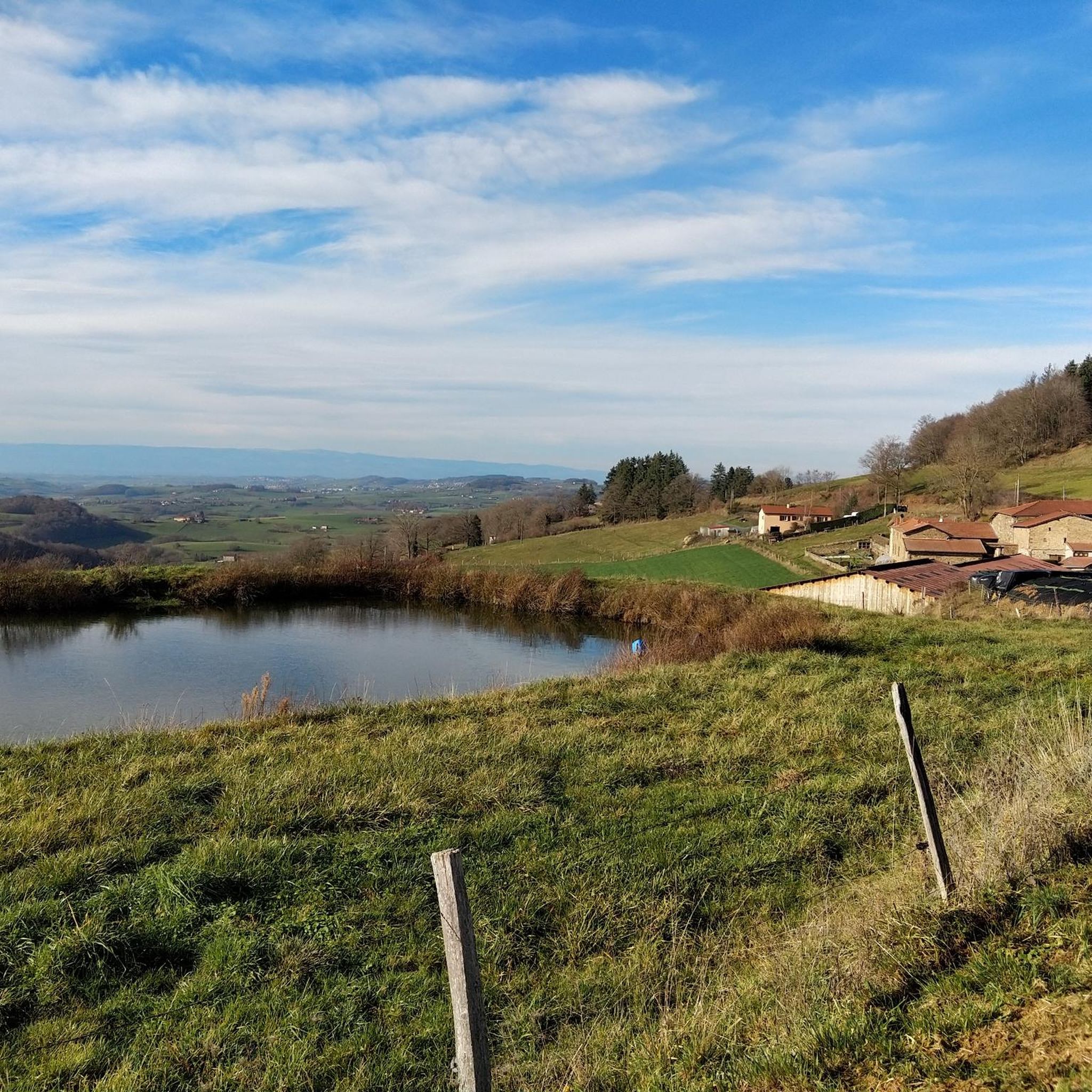
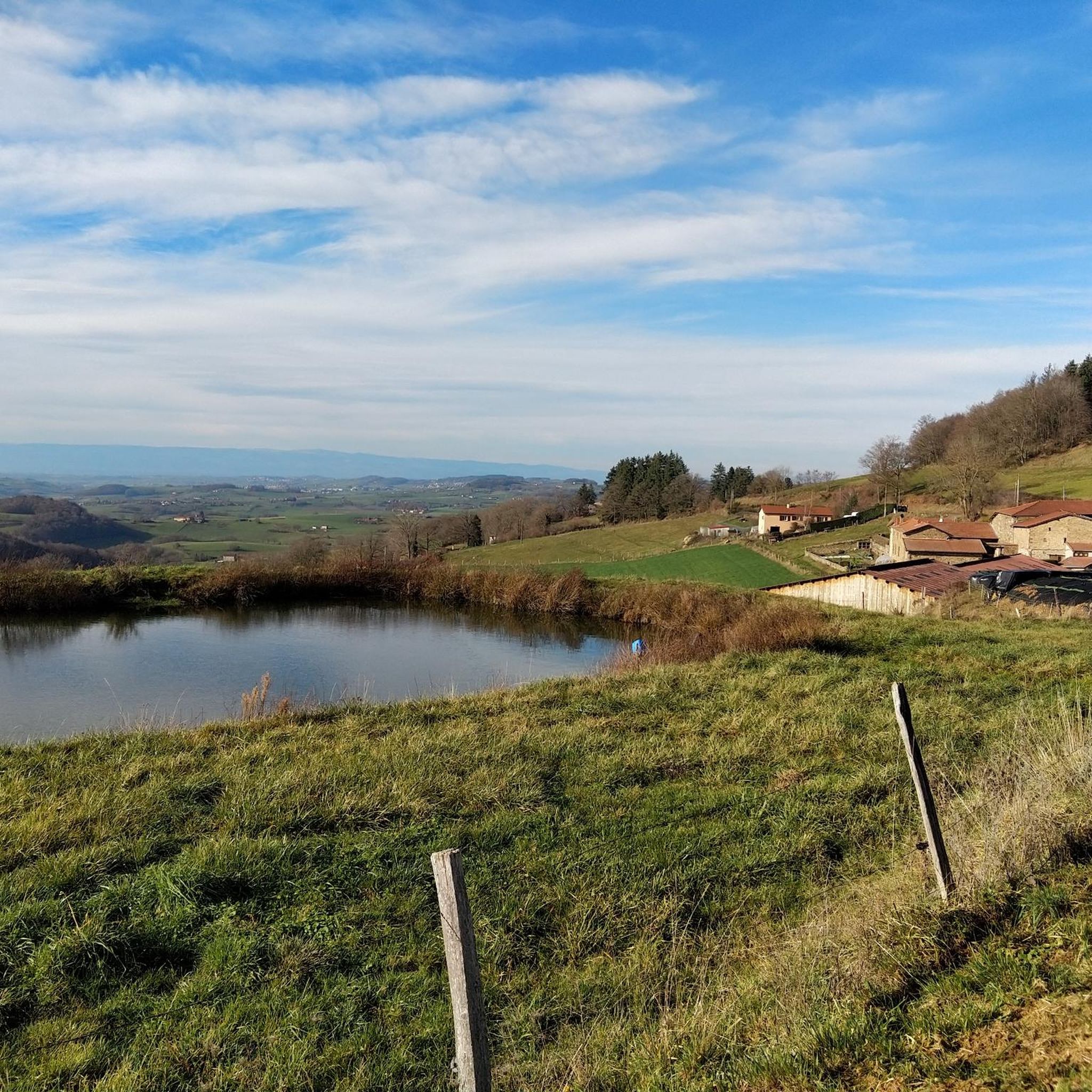
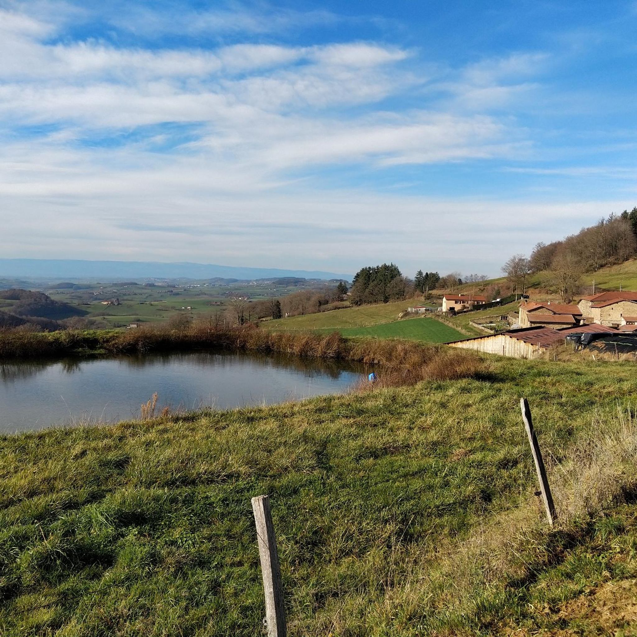
The Le plan d'eau du Ronzey is a relaxation area in an exceptional natural setting, at the foot of the village of Yzeron. It is possible to fish, walk or go birdwatching. You will also find games for children on site.
0
0
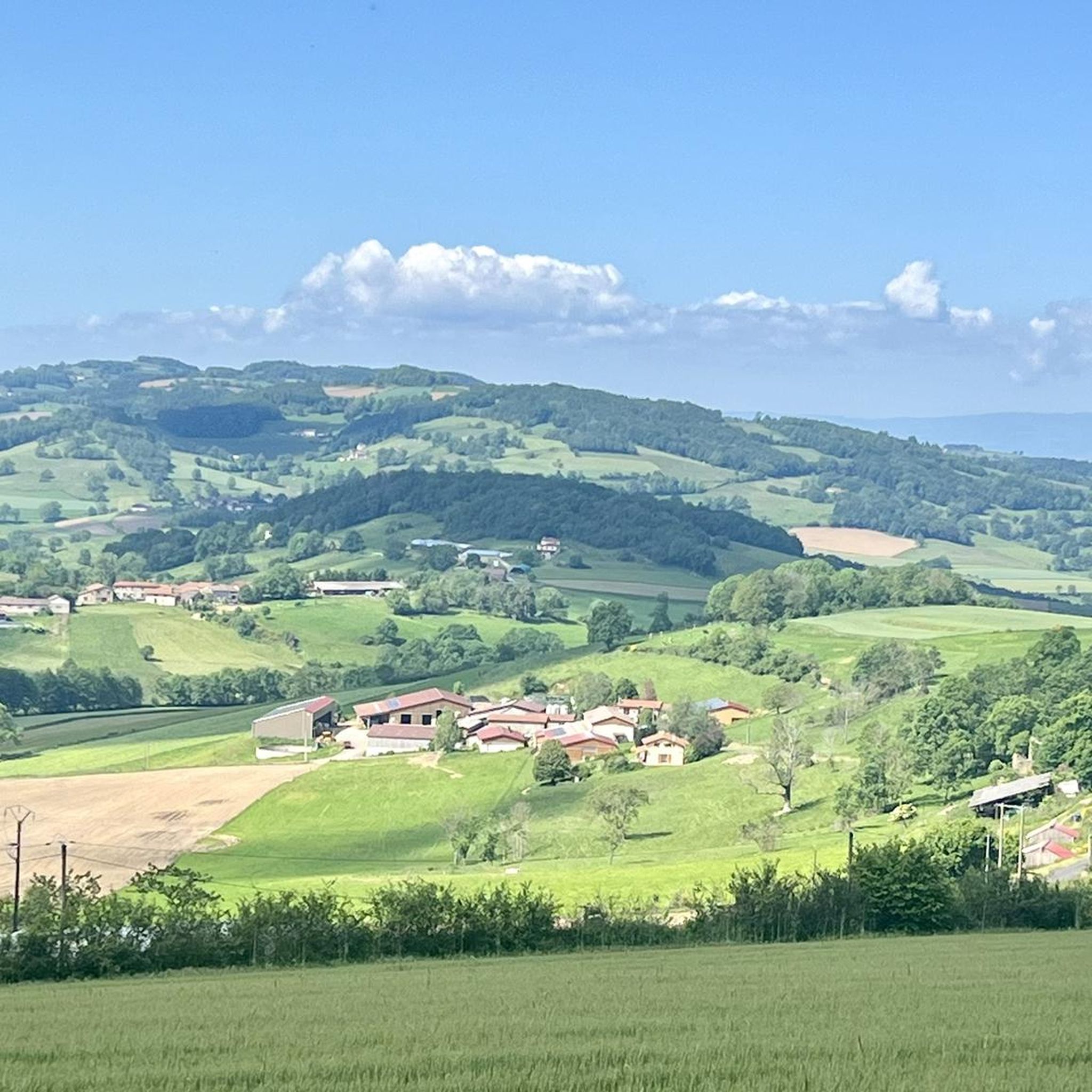
From Pomeys, you gain altitude on the road that winds towards Grézieu-le-Marché. All along, you enjoy superb viewpoints over the hilly landscape of the Lyonnais highlands.
0
0
Upon arriving at Saint-Symphorien-sur-Coise, you cannot miss the imposing church that dominates the village. The building, classified as a Historic Monument, has undergone a major renovation. This collegiate church is remarkable for its style but also particularly for its unusual shape. Indeed, the cramped terrain did not allow for the construction of the nave, which traditionally gives its monuments a cross shape.
0
0

Beautiful walk with friends, in the freshness of May
0
0
on the watershed between the ocean and the Mediterranean
0
0

Frequently Asked Questions
How many touring cycling routes are available around Saint-André-La-Côte?
There are over 110 touring cycling routes in the Saint-André-La-Côte area, offering a wide range of options for different skill levels and preferences.
What kind of terrain can I expect on touring cycling routes in Saint-André-La-Côte?
The routes around Saint-André-La-Côte traverse the Monts du Lyonnais, characterized by rolling hills and varied elevations. You'll encounter a mix of open countryside, forested sections, and agricultural lands, often including ascents to cols and passes.
Are there any easy touring cycling routes for beginners or families?
While many routes feature moderate to challenging gradients, there are a few easier options. For instance, the Green way of the Tacot and Signal of Saint André - Loop in the Monts du Lyonnais is a moderate route that offers a good introduction to the area's scenery.
Which routes are suitable for experienced touring cyclists looking for a challenge?
Experienced cyclists will find plenty of challenging routes. The Malval Pass (732 m) – Saint-Martin-en-Haut loop from Saint-Martin-en-Haut is a difficult 43 km trail with significant elevation gain. Another demanding option is the Col de la Gachet – St. Christo Chapel loop from Chaussan, covering nearly 60 km with over 1000 meters of ascent.
Are there any long-distance touring cycling routes in the area?
Yes, for longer rides, consider routes like the Sainte-Croix-en-Jarez – Sainte-Croix-en-Jarez loop from Saint-Didier-sous-Riverie, which is approximately 60 km long and features nearly 940 meters of elevation gain, making it a challenging full-day tour.
What kind of scenic views can I expect on these routes?
Touring cycling routes in Saint-André-La-Côte offer diverse scenery, from open countryside and agricultural lands to dense forested sections. Many routes include ascents to cols and passes, providing panoramic views of the Monts du Lyonnais and the surrounding region.
Are there circular touring cycling routes available?
Many of the touring cycling routes in Saint-André-La-Côte are designed as loops, allowing you to start and finish at the same point. Examples include the Col des Brosses – Saint-Martin-en-Haut loop from Saint-Martin-en-Haut and the Green way of the Tacot and Signal of Saint André - Loop in the Monts du Lyonnais.
What do other touring cyclists say about the routes in Saint-André-La-Côte?
The touring cycling routes in Saint-André-La-Côte are highly rated by the komoot community, with an average score of 4.2 stars from over 150 reviews. Cyclists often praise the varied terrain, scenic beauty, and the challenge offered by the Monts du Lyonnais.
What interesting landmarks or natural attractions can I see along the touring cycling routes?
Along your rides, you might encounter natural monuments such as Le Signal de Saint André or Crêt Malherbe – Highest point of the Monts du Lyonnais. There are also several lakes like Lac du Ronzey and Lac de la Madone, which can be pleasant stops.
Are there any historical sites or cultural points of interest near the cycling paths?
Yes, you can explore sites like Châtelus Castle and Virgin's Fountain, which offer a glimpse into the region's history and culture, often accessible from or near the cycling routes.
What is the typical duration for a touring cycling route in this region?
Route durations vary significantly based on distance and elevation. Moderate routes like the Green way of the Tacot typically take around 1 hour 36 minutes, while more difficult and longer routes, such as the Malval Pass loop, can take nearly 3 hours or more to complete.
Most popular routes around Saint-André-La-Côte
Most popular attractions around Saint-André-La-Côte

Get inspired with the komoot mobile app


Explore more
Browse the best Cycling routes in other regions.
