The best walks and hikes around Lézardrieux
4.5
(2831)
15,110
hikers
17
hikes
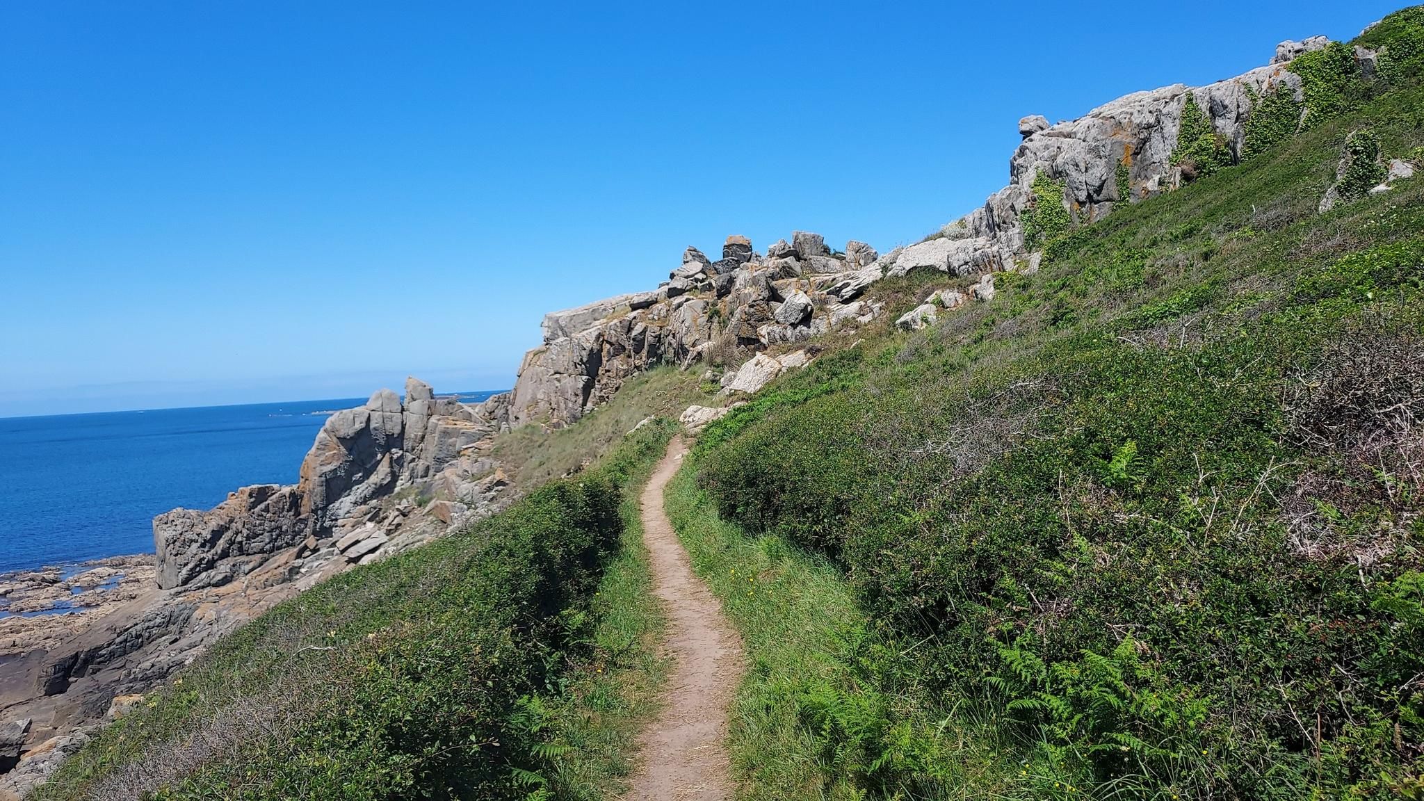
Hiking around Lézardrieux offers diverse landscapes along the Trieux estuary in Brittany. The region features wild coastlines, granite rock formations, and the distinctive 3-kilometer long Sillon de Talbert spit. Inland, hikers can explore the Penhoat-Lancerf pine forest and the Perdrix botanical area. The area is also home to a section of the GR34, known as the Customs Path, providing extensive coastal hiking opportunities.
Best hiking trails around Lézardrieux
- The most popular hiking route is Kermouster Chapel – Lézardrieux loop from Kermouster, a 17.3 miles (27.8 km) trail that takes 7 hours 30 minutes to complete. This route offers expansive coastal views and follows part of the GR34.
- Another top favourite among local hikers is Lézardrieux – Jungle Trail loop from Lézardrieux, a moderate 6.5 miles (10.5 km) path. This trail winds through wooded areas and provides views of the Trieux estuary.
- Local hikers also love the Kermouster Chapel – Lézardrieux loop from Lézardrieux, a 8.6 miles (13.8 km) trail leading through coastal paths, often completed in about 3 hours 42 minutes.
- Hiking around Lézardrieux is defined by wild coastlines, the Trieux estuary, and pine forests. The network offers options for various ability levels, from moderate loops to more challenging long-distance routes.
- The routes in Lézardrieux are highly rated by the komoot community with an average score of 4.6 stars from over 2,400 reviews. More than 13,000 hikers have used komoot to explore Lézardrieux's varied terrain.
Last updated: October 12, 2026
4.7
(24)
197
hikers
28.6km
07:43
370m
370m
Hard hike. Very good fitness required. Easily-accessible paths. Suitable for all skill levels.
4.7
(11)
109
hikers
22.1km
05:59
300m
300m
Hard hike. Very good fitness required. Easily-accessible paths. Suitable for all skill levels.

5.0
(1)
13
hikers
Moderate hike. Good fitness required. Easily-accessible paths. Suitable for all skill levels.
2.0
(1)
13
hikers
14.2km
03:51
200m
200m
Moderate hike. Good fitness required. Easily-accessible paths. Suitable for all skill levels.
3.0
(1)
7
hikers
7.82km
02:10
130m
130m
Moderate hike. Good fitness required. Easily-accessible paths. Suitable for all skill levels.
Get access to more routes and recommendations from other explorers.
Already have an account?
Our route recommendations are based on thousands of hikes, rides, and runs completed by other people on komoot.
Start today with a free account
Your next adventure awaits.
Other adventures around Lézardrieux

Tips from the Community

Great panoramic view and that was just the beginning
0
0

Coat Mer Amont is a maritime signal on the Breton coast near Lézardrieux. It serves for the safe navigation of ships on the Trieux river. Together with the Coat Mer Aval maritime signal, it forms a leading line. This helps ships to precisely hold the fairway. The original structure was built at the end of the 19th century. It was destroyed during the Second World War. After the end of the war, the maritime signal was rebuilt. The stone tower carries a red light to guide shipping. Today, the facility operates largely automatically and is remotely monitored. Coat Mer Amont remains an important part of maritime navigation in the region to this day.
0
0

Enchanted, narrow, overgrown path along a babbling brook. Caution: slippery
0
0

...and further up a small holiday home;-)
0
0
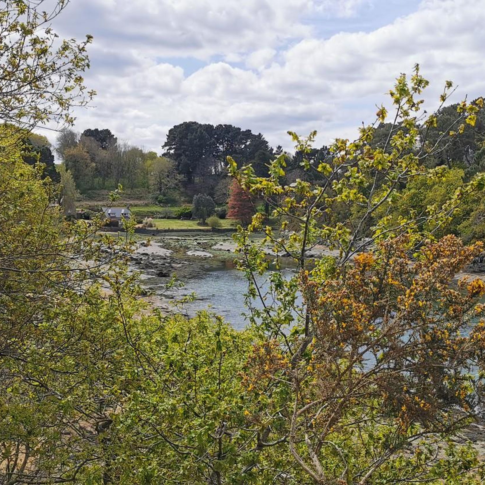
Maybe you can buy oysters at low tide
0
0

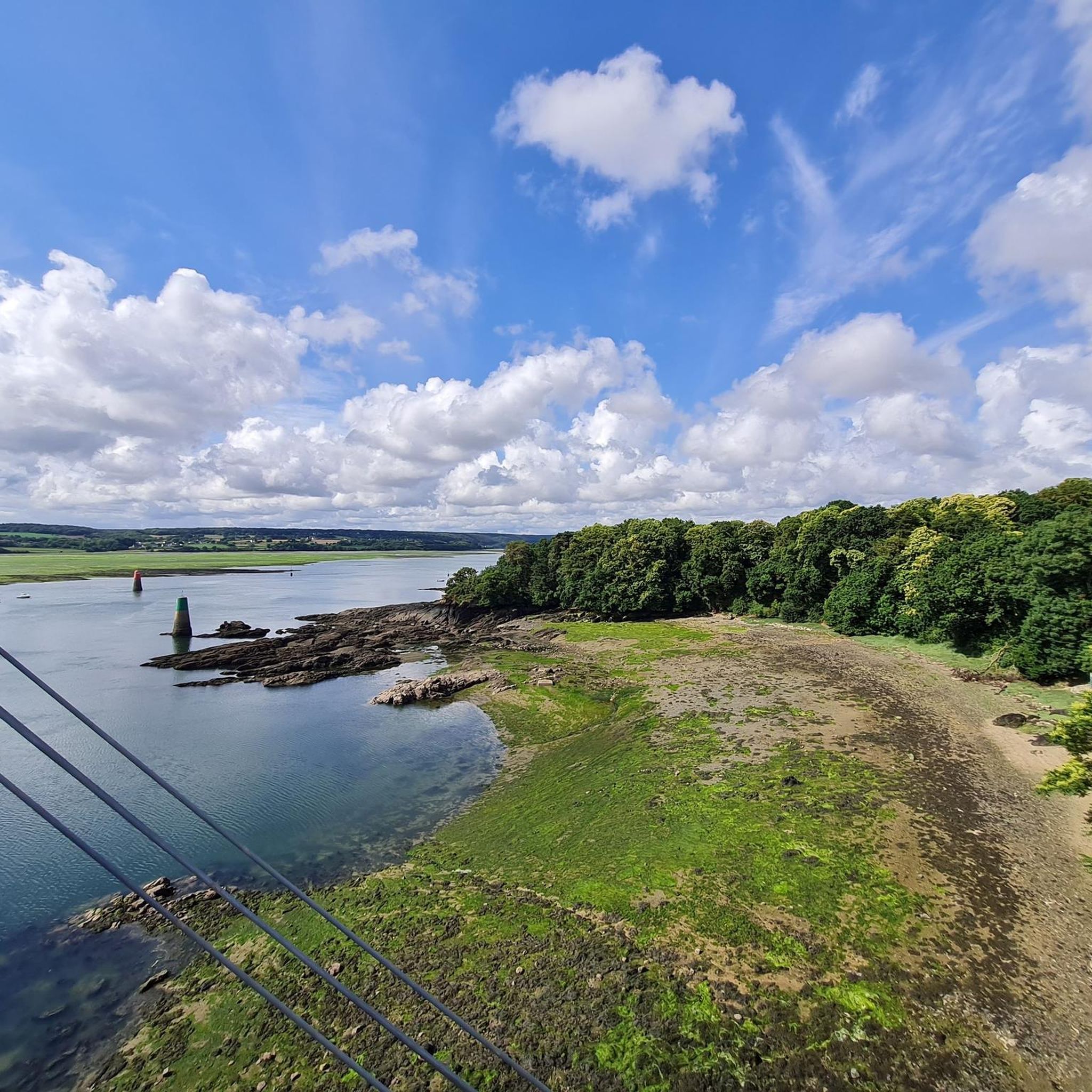
Lézardrieux has a very pretty center with a remarkable avenue. The Lézardieux bridge which crosses the Trieux is just as much.
3
0

Confetti of land located at the end of the Trieux estuary, the Coalen islet is a tiny private island, accessible to the public only at low tide. On the beach on the southwest side of the island, a covered walkway dating from the Neolithic era tries to resist erosion. It is currently under surveillance and was classified as a historic monument in 1975.
0
0
Frequently Asked Questions
How many hiking trails are available around Lézardrieux?
There are over 18 hiking routes around Lézardrieux, offering a diverse range of experiences. These include 4 easy routes, 11 moderate routes, and 3 more challenging options for experienced hikers.
What kind of terrain can I expect on hikes around Lézardrieux?
Hiking around Lézardrieux offers varied terrain. You'll find wild coastlines with striking granite rock formations, the scenic Trieux estuary, and inland areas featuring the Penhoat-Lancerf pine forest and the Perdrix botanical area. Expect a mix of coastal paths, wooded trails, and estuary views.
Are there easy hiking options suitable for beginners or families in Lézardrieux?
Yes, Lézardrieux offers several easy hiking options perfect for beginners or families. There are 4 routes classified as easy, providing gentle paths to enjoy the scenery without significant challenge. For example, the area around the Sillon de Talbert Nature Reserve offers relatively flat and accessible walks.
Are there any challenging long-distance hikes in the Lézardrieux area?
Yes, Lézardrieux is a key point on the GR34, also known as the Customs Path, which is a celebrated long-distance coastal hiking trail. This path provides extensive opportunities for challenging exploration with breathtaking coastal vistas. One such challenging route is the Kermouster Chapel – Lézardrieux loop from Kermouster, which is 17.3 miles (27.8 km) long.
What natural landmarks or scenic viewpoints can I see while hiking near Lézardrieux?
Hikers can discover several notable natural landmarks. The distinctive 3-kilometer long Sillon de Talbert, a spit of sand and pebbles, is a must-see. From various points, especially near the Kermouster chapel, you can enjoy panoramic views of the Island of Bréhat. The Rock Formations – North Coast of Île de Bréhat and the Pink Granite Coast are also within reach.
Are there any historical or cultural attractions accessible from the hiking trails?
Yes, several historical and cultural attractions are accessible. The Abbaye de Beauport, with its beautiful gardens, is a short distance away. The Pont de Lézardrieux, a suspension bridge and national monument, is a prominent feature. The Bodic lighthouse is also visible from many coastal walks, and the Kermouster chapel not only offers views but also hosts summer concerts.
Are there circular hiking routes available around Lézardrieux?
Yes, many of the routes around Lézardrieux are circular, allowing you to start and end at the same point. Examples include the Kermouster Chapel – Lézardrieux loop from Lézardrieux and the Lézardrieux – Jungle Trail loop from Lézardrieux, which offer varied scenery.
Can I bring my dog on the hiking trails in Lézardrieux?
Many trails in the Lézardrieux area are dog-friendly, especially those along the coast and through natural areas like the Penhoat-Lancerf pine forest. However, it's always advisable to keep dogs on a leash, especially in nature reserves or near livestock, and to check local signage for any specific restrictions.
What do other hikers enjoy most about the trails in Lézardrieux?
The hiking trails in Lézardrieux are highly rated by the komoot community, with an average score of 4.6 stars from over 2,400 reviews. Hikers frequently praise the diverse landscapes, from the dramatic coastal views and the Trieux estuary to the peaceful inland forests. The well-maintained paths and the variety of routes for different fitness levels are also commonly highlighted.
Is public transport available to reach hiking trailheads in Lézardrieux?
While Lézardrieux itself has some local transport options, reaching specific trailheads outside the town center might require planning. It's recommended to check local bus schedules or consider carpooling for more remote starting points, as public transport access can be limited for some of the more secluded trails.
Where can I find parking near the hiking trails in Lézardrieux?
Parking is generally available in Lézardrieux town center and at popular starting points for trails, such as near the Kermouster chapel or other key coastal access points. For specific routes, it's often possible to find designated parking areas or roadside spots. Always ensure you park responsibly and respect local regulations.
What is the best time of year to hike in Lézardrieux?
The best time to hike in Lézardrieux is generally from spring through early autumn (April to October). During these months, the weather is milder and more conducive to outdoor activities. Spring brings blooming flora, while summer offers longer daylight hours and warmer temperatures, ideal for coastal walks. Autumn provides pleasant temperatures and beautiful colors, especially in wooded areas.
Most popular attractions around Lézardrieux

Get inspired with the komoot mobile app


Explore more
Browse the best Hikes in other regions.
