The best walks and hikes around Sainte-Colombe
4.6
(108)
686
hikers
69
hikes
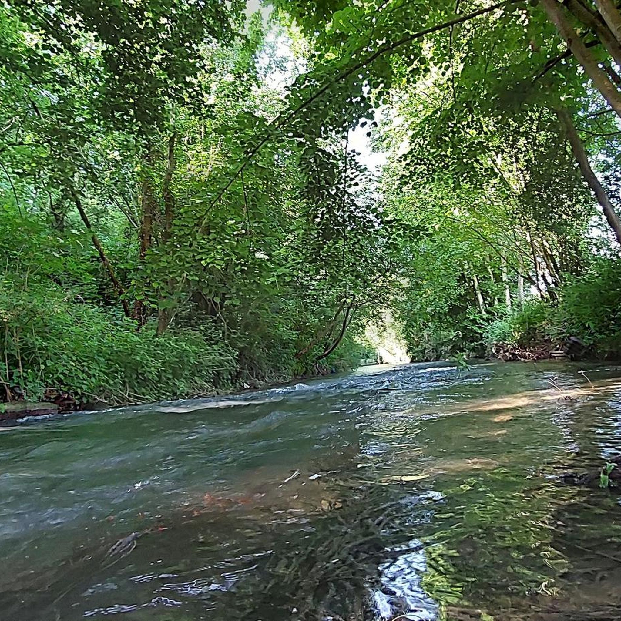
Hiking around Sainte-Colombe offers diverse landscapes, including valleys, ridges, chestnut groves, and plateaus. Many trails follow streams, providing picturesque routes alongside water features. Elevated areas and ridges often provide expansive viewpoints of surrounding regions like the Ségala, Aveyron, and Cantal. The terrain varies, accommodating different fitness levels.
Best hiking trails around Sainte-Colombe
- The most popular hiking route is Notre-Dame-du-Val Tower – Cesar tower (12th century) loop from Provins, a 3.8 miles (6.1 km) trail that takes 1 hour 37 minutes to complete. This easy route features minimal elevation gain.
- Another top favourite among local hikers is Boulevard d'Aligre Canal Path – Cesar tower (12th century) loop from Provins, a moderate 9.2 miles (14.8 km) path. This route includes a moderate ascent and takes approximately 3 hours 58 minutes.
- Local hikers also love the Cesar tower (12th century) – Trou au Chat Trail loop from Provins, a 4.7 miles (7.5 km) trail leading through varied terrain, often completed in about 2 hours 3 minutes.
- Hiking around Sainte-Colombe is defined by varied terrain, including valleys, ridges, and chestnut groves. The network offers options for different ability levels, from easy strolls to more challenging routes.
- The routes in Sainte-Colombe are highly rated by the komoot community with an average score of 4.6 stars from over 90 reviews. More than 600 hikers have used komoot to explore Sainte-Colombe's varied terrain.
Last updated: June 21, 2026
4.5
(8)
68
hikers
Easy hike. Great for any fitness level. Easily-accessible paths. Suitable for all skill levels.
4.2
(12)
40
hikers
14.8km
03:58
170m
170m
Moderate hike. Good fitness required. Easily-accessible paths. Suitable for all skill levels.

Sign up for free
4.8
(8)
49
hikers
7.54km
02:03
100m
100m
Moderate hike. Good fitness required. Easily-accessible paths. Suitable for all skill levels.
4.8
(5)
50
hikers
4.50km
01:13
60m
60m
Easy hike. Great for any fitness level. Easily-accessible paths. Suitable for all skill levels.
4.5
(6)
24
hikers
12.3km
03:15
120m
120m
Moderate hike. Good fitness required. Easily-accessible paths. Suitable for all skill levels.
Get access to more routes and recommendations from other explorers.
Sign up for free
Already have an account?
Our route recommendations are based on thousands of hikes, rides, and runs completed by other people on komoot.
Start today with a free account
Your next adventure awaits.
Login or Signup
Tips from the Community

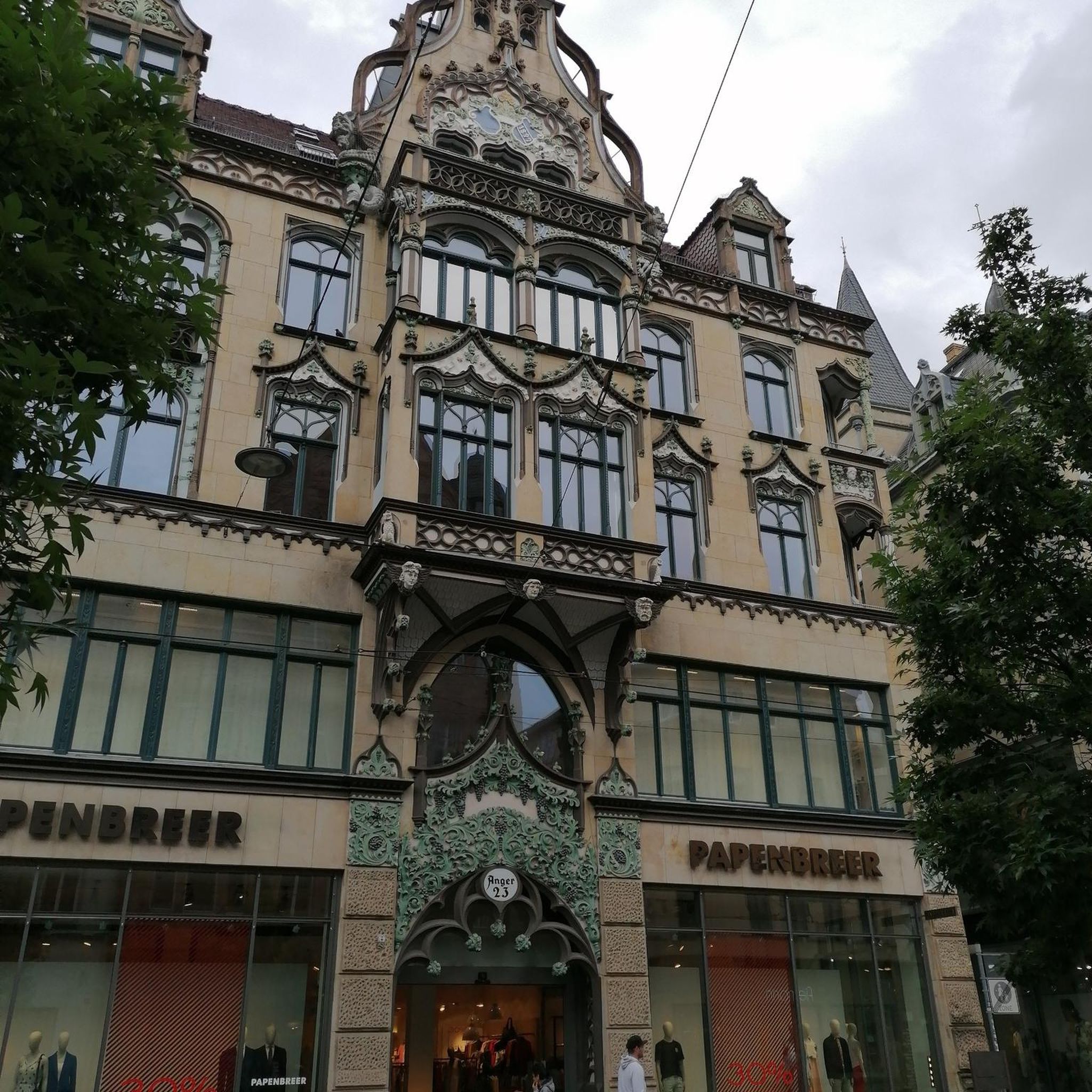
It is crossed by the Rue d'Aligre and the Rue de Cotte and is also accessible via the Rue Emilio-Castelar, the Rue Théophile-Roussel and the Rue Beccaria. It is the center of the historic and popular Parisian district, called the Aligre district, which itself is more or less part of the Quinze-Vingts administrative district. On this square (as well as in the Rue d'Aligre) the Aligre market takes place every day except Monday. The second-hand dealers gather outside, in a semicircle on the eastern half of the square, in the middle of which stands the small town hall. The Beauvau market, a covered market, is located on the western half of the square, rectangular.
0
0


This church was sold during the revolution, a part being transformed into dwellings and the choir, used as a place of storage. To date this church, of Catholic origin, is desecrated.
1
0
The only remaining vestige of the collegiate church of Notre-Dame-du-Val, destroyed during the French Revolution.
0
0
Church located near the César tower, dating from the 12th century, which could never be finished due to its excessive cost.
0
0
The emblematic monument of Provins! You can visit Caesar's Tower (entrance fee or included in the Provins Pass) and enjoy the breathtaking view at the top.
3
0

The climb to the Trou au Chat is quite dreaded by the runners of the famous race of the ramparts of Provins. But where does the name of this trail come from? Several theories but no explanation that holds up 100%, so let yourself be carried away by its charm!
0
0
Frequently Asked Questions
How many hiking trails are available in Sainte-Colombe?
Sainte-Colombe offers a wide selection of hiking opportunities, with over 70 routes available. These trails cater to various preferences, from easy strolls to more challenging excursions.
What kind of terrain can I expect when hiking in Sainte-Colombe?
The region features diverse terrain, including valleys, crêtes (ridges), chestnut groves, and plateaus. Many trails follow streams, offering picturesque routes alongside water features. You'll find a mix of landscapes suitable for different fitness levels.
Are there any easy hikes suitable for beginners or families in Sainte-Colombe?
Yes, Sainte-Colombe has plenty of easy options. Approximately 30 of the routes are classified as easy. An example is the Notre-Dame-du-Val Tower – Cesar tower (12th century) loop from Provins, which is 3.8 miles (6.1 km) long with minimal elevation gain.
What natural features or landmarks can I see along the hiking trails?
Hikers can discover a variety of natural features and historical landmarks. Elevated areas often provide expansive views of regions like the Ségala, Aveyron, and Cantal. You might encounter the Saint-Quiriace Church of Provins or the Garnier Garden. Some routes also pass by the Trou au Chat Trail.
Are there any challenging hikes in Sainte-Colombe for experienced hikers?
Yes, for those seeking a challenge, there are 6 difficult routes available. Additionally, 34 moderate routes offer a good balance of distance and elevation. An example of a moderate route is the Boulevard d'Aligre Canal Path – Cesar tower (12th century) loop from Provins, which is 9.2 miles (14.8 km) with a moderate ascent.
When is the best time of year to go hiking in Sainte-Colombe?
Sainte-Colombe offers enjoyable hiking experiences throughout much of the year due to its varied landscapes. Spring and autumn are particularly pleasant, with mild temperatures and vibrant scenery. Summer is also suitable, especially for trails that follow streams or offer shaded sections.
Are there circular hiking routes available in Sainte-Colombe?
Yes, many of the trails in Sainte-Colombe are designed as circular routes, allowing you to start and end at the same point. For example, the Cesar tower (12th century) – Trou au Chat Trail loop from Provins is a popular circular option.
What do other hikers enjoy most about hiking in Sainte-Colombe?
The area is highly rated by the komoot community, with an average score of 4.6 stars from over 90 reviews. Hikers often praise the diverse terrain, from peaceful valleys to expansive ridge views, and the well-maintained paths that cater to various skill levels.
Can I hike with my dog on the trails in Sainte-Colombe?
Many trails in Sainte-Colombe are dog-friendly, allowing you to explore with your canine companion. However, it's always recommended to keep dogs on a leash, especially in areas with livestock or protected wildlife, and to check specific trail regulations if available.
Are there any specific trails that feature water bodies like lakes or streams?
Yes, several trails in Sainte-Colombe follow streams, providing picturesque routes alongside water features. The region also features natural attractions like the Lac de Baniérettes, which has a dedicated walk around it, passing by orchards. For more information on the Lac de Baniérettes walk, you can visit Tourisme Lot-et-Garonne.
Are there any historical or cultural points of interest along the hiking routes?
Some hiking loops incorporate historical and cultural elements. For instance, routes might reveal vernacular Ségalian architecture through informational panels. You can also find historical sites like the Collegiate church of Saint-Quiriace (12th century) and the Saint-Ayoul Church and Priory in the wider area.
Most popular attractions around Sainte-Colombe

Get inspired with the komoot mobile app


Explore more
Browse the best Hikes in other regions.
