The best road cycling routes around Sainte-Suzanne-Sur-Vire
4.1
(57)
1,443
riders
454
rides
Road cycling routes around Sainte-Suzanne-Sur-Vire traverse a varied landscape characterized by bocage, a mosaic of small fields, hedges, and woodlands. The region features rolling hills and the scenic Vire Valley, offering both challenging ascents and picturesque stretches alongside the Vire River. Cyclists can expect routes that wind through wooded sections and provide panoramic views from higher elevations. This diverse topography supports a range of road cycling experiences.
Best road cycling routes around Sainte-Suzanne-Sur-Vire
- The most popular road cycling route is…
Last updated: July 5, 2026
4.0
(2)
33
riders
54.7km
02:29
560m
560m
Moderate road ride. Good fitness required. Some segments of this route may be unpaved and difficult to ride.
1.0
(1)
26
riders
40.0km
01:50
350m
350m
Moderate road ride. Good fitness required. Some segments of this route may be unpaved and difficult to ride.

Sign up for free
3.5
(2)
8
riders
21.4km
00:58
210m
210m
Easy road ride. Great for any fitness level. Mostly well-paved surfaces and easy to ride.
5.0
(1)
5
riders
48.7km
02:12
550m
550m
Moderate road ride. Good fitness required. Mostly well-paved surfaces and easy to ride.
3
riders
45.8km
01:59
440m
440m
Moderate road ride. Good fitness required. Mostly well-paved surfaces and easy to ride.
Get access to more routes and recommendations from other explorers.
Sign up for free
Already have an account?
Our route recommendations are based on thousands of hikes, rides, and runs completed by other people on komoot.
Start today with a free account
Your next adventure awaits.
Login or Signup


Tips from the Community


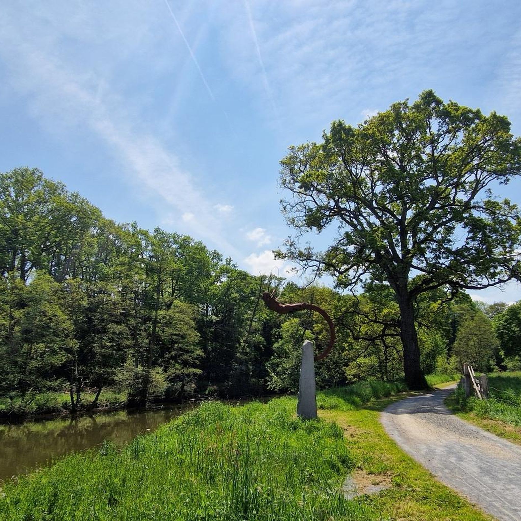
mix of towpath and path
0
0

From up here, you have a beautiful view down into the valley and across the Vire River. If the weather's good, you can even go for a short hike.
0
0

Check opening hours https://www.usine-utopik.com
0
0

Beautiful location for leisure activities
0
0

The Vire is a coastal river in Normandy, whose course, 128.4 km long, crosses the departments of Calvados and Manche, successively bathing the towns of Vire, Saint-Lô and Isigny-sur-Mer, ending up flow into the Channel, at the limit of the two departments, more precisely in the Bay of Veys.
2
0

Magnificent view for the break accompanied by a good pancake and a glass of cider; creperie also recommended!!!
1
0

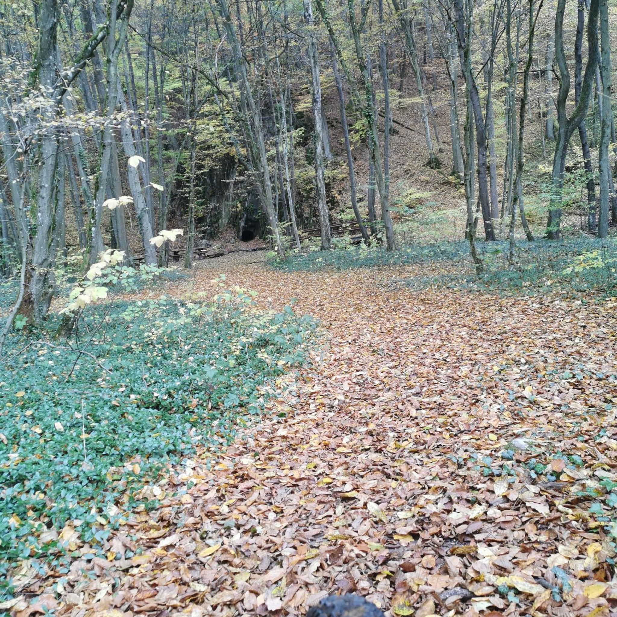
Along the river, you can appreciate the cliffs of the Rochers de Ham which overlook you. Connecting this spot from the river to the loop to include the cliffs above you is a great running course.
2
0
Frequently Asked Questions
How many road cycling routes are available around Sainte-Suzanne-Sur-Vire?
There are over 420 road cycling routes around Sainte-Suzanne-Sur-Vire, offering a wide variety of options for different skill levels and preferences.
What kind of terrain can I expect on road cycling routes in Sainte-Suzanne-Sur-Vire?
The region features a varied landscape, including the picturesque bocage with its small fields and hedges, and the scenic Vire Valley. You'll encounter rolling hills offering both challenging ascents and descents, as well as flatter sections along the river. Expect routes that wind through wooded areas and provide panoramic views from higher elevations.
Are there easy road cycling routes suitable for beginners in Sainte-Suzanne-Sur-Vire?
Yes, Sainte-Suzanne-Sur-Vire offers over 20 easy road cycling routes. An example of an easy route is the Canisy – Saint-Lô Véloroute loop from Saint-Lô, which covers 13.3 miles (21.4 km) with moderate elevation gain.
Are there challenging road cycling routes for experienced cyclists?
Absolutely. For experienced cyclists seeking a challenge, there are over 60 difficult routes. The Cotentin and Bessin Marshes Park Loop from Saint-Lô is a difficult 82.1 miles (132.1 km) trail with significant elevation changes, exploring diverse landscapes.
What is the best time of year for road cycling in Sainte-Suzanne-Sur-Vire?
The best time for road cycling in Normandy, including Sainte-Suzanne-Sur-Vire, is generally from spring through early autumn (April to October). During these months, the weather is typically milder and more stable, making for pleasant riding conditions through the bocage and along the Vire Valley.
Are there any dedicated cycling paths or greenways in the area?
Yes, a major highlight is the 'Chemin de Halage' (towpath) along the Vire River, which is easily accessible. This greenway is suitable for cycling and extends for over 60 kilometers, connecting to Saint-Lô downstream and towards the Roches du Ham upstream. It offers a family-friendly route with rest areas and scenic views of the Vire River.
Can I find circular road cycling routes around Sainte-Suzanne-Sur-Vire?
Yes, many road cycling routes in the area are designed as loops, allowing you to start and finish at the same point. For example, the Roadbike loop from Aire de Condé-sur-Vire - Le Sault is a 12.3 miles (19.8 km) circular trail through the local bocage.
What scenic viewpoints or natural features can I discover along the road cycling routes?
Road cycling routes often offer remarkable viewpoints over the Vire Valley and the high Norman bocage. You can experience nearly 360° views from points like Montaigu hill. Don't miss the Roches de Ham, which provide spectacular panoramas over the Vire River. For more stunning views, you can explore the top panoramas listed by Coëvrons Tourisme: Top 5 Panoramas.
Are there historical or cultural sites to visit while cycling?
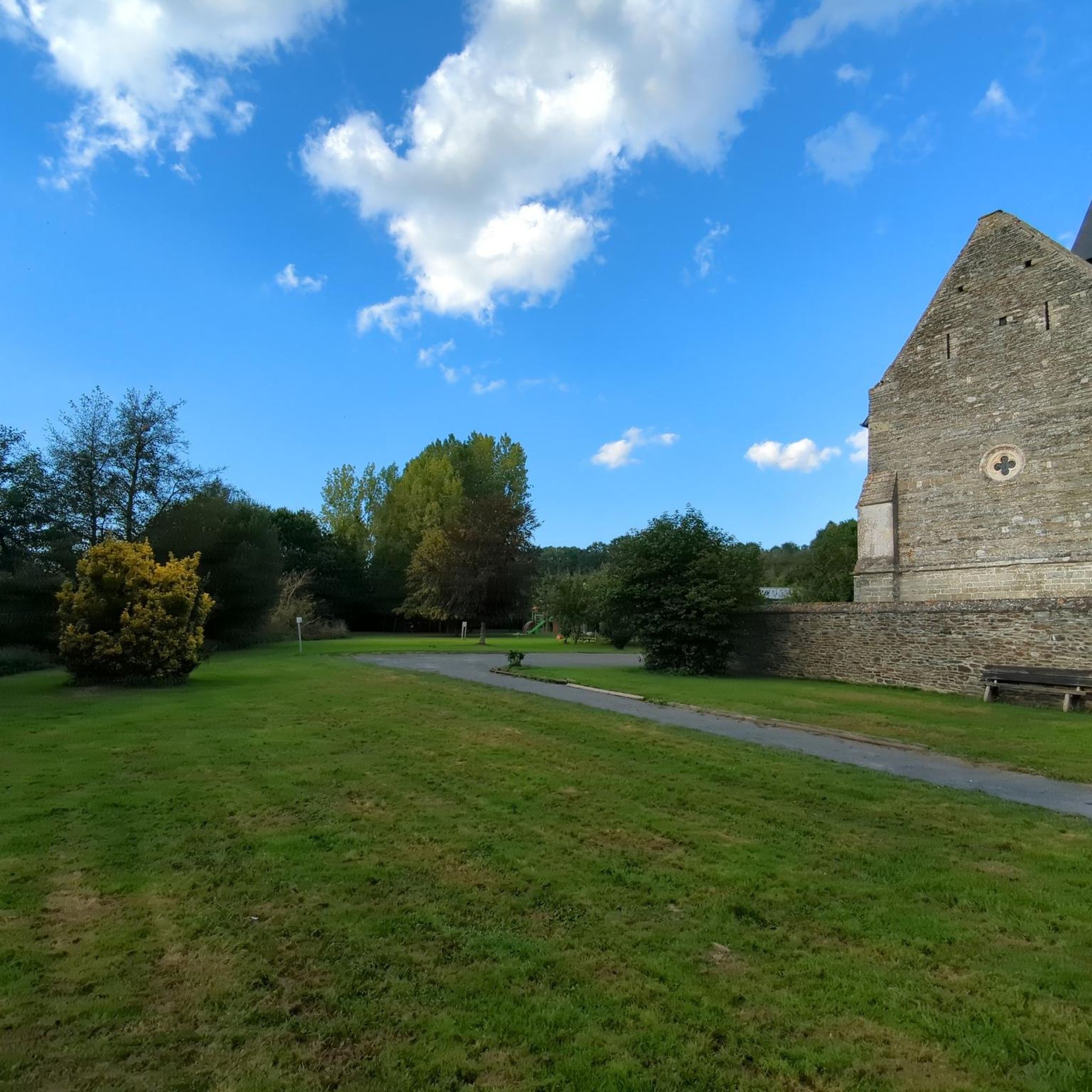
Yes, the region is rich in history. Along your rides, you can discover local attractions such as the 15th-century Chapelle Saint-Jean de Brébeuf and the flamboyant Gothic church of Sainte-Suzanne-sur-Vire. The town itself is known for its medieval history, including a castle and well-preserved ramparts.
Is public transport available to reach road cycling routes in Sainte-Suzanne-Sur-Vire?
While Sainte-Suzanne-Sur-Vire is a smaller commune, public transport options might be limited. It's advisable to check local bus schedules or regional train services to nearby larger towns like Saint-Lô, from where you might cycle to Sainte-Suzanne-Sur-Vire or access routes. Planning your journey in advance is recommended.
Are there family-friendly road cycling options in the area?
Yes, the region offers routes suitable for families, particularly along the dedicated 'Chemin de Halage' (towpath) by the Vire River. This greenway provides a safe and scenic environment away from vehicle traffic, perfect for leisurely family rides. Many easy-rated routes are also suitable for families.
What do other road cyclists enjoy the most about road cycling in Sainte-Suzanne-Sur-Vire?
The area is highly rated by the komoot community, with an average score of 4.1 stars from over 40 reviews. Reviewers often praise the diverse terrain, from scenic river valleys to challenging hilly sections, and the extensive network of routes that cater to various ability levels.
Where can I find parking for road cycling routes in Sainte-Suzanne-Sur-Vire?
Parking is generally available in and around Sainte-Suzanne-Sur-Vire, particularly near the town center or access points to popular cycling paths like the Chemin de Halage. Look for designated parking areas in villages or near trailheads. It's always a good idea to check specific route starting points for parking information.
Most popular routes around Sainte-Suzanne-Sur-Vire
Most popular attractions around Sainte-Suzanne-Sur-Vire

Get inspired with the komoot mobile app


Explore more
Browse the best Road cycling routes in other regions.
