The best road cycling routes around Saint-Martin-De-Valamas
4.6
(103)
3,903
riders
109
rides
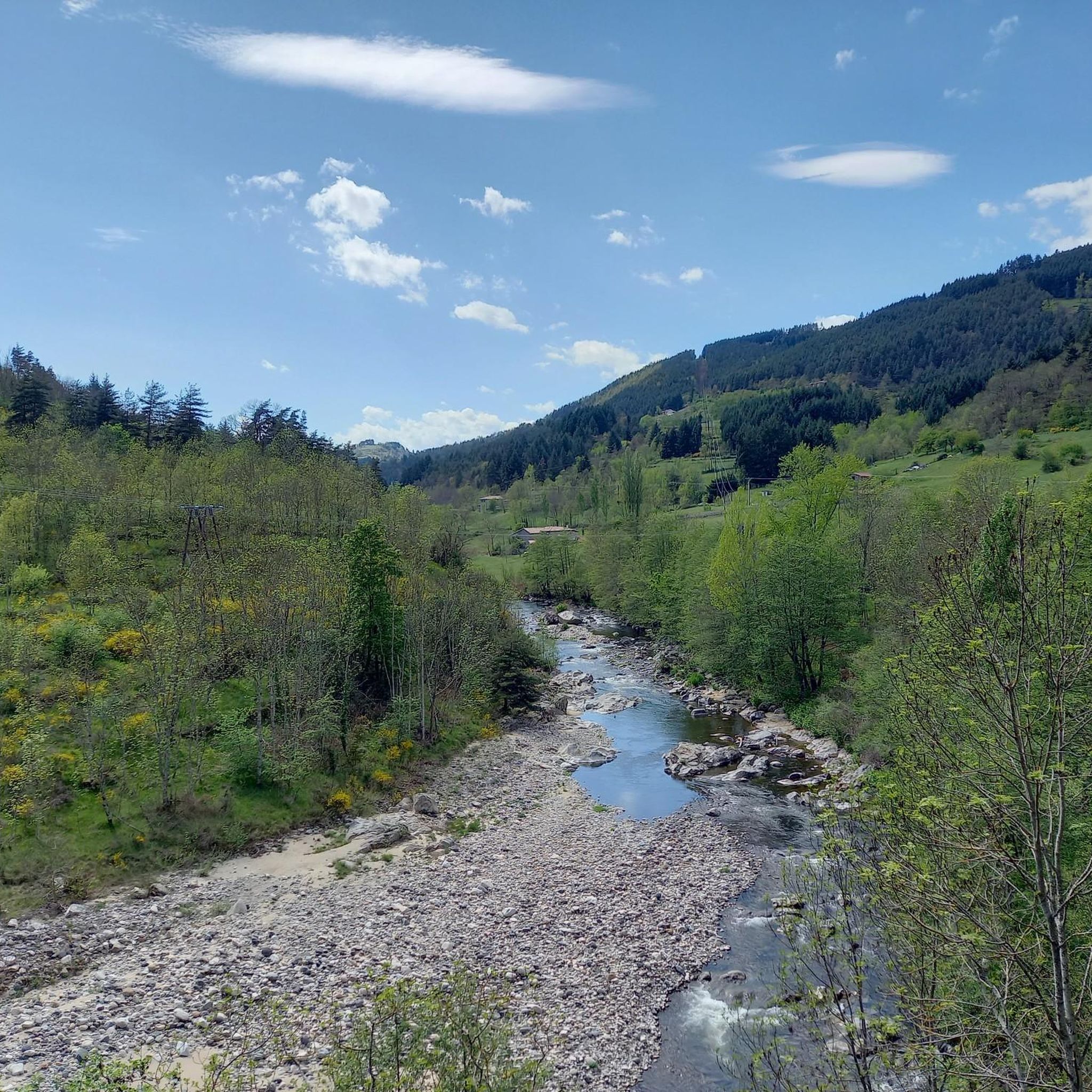
Road cycling routes around Saint-Martin-De-Valamas traverse diverse landscapes within the Ardèche department, characterized by volcanic features, river valleys, and mid-mountain terrain. The region offers a mix of challenging ascents and scenic descents on mostly well-paved surfaces. Cyclists encounter significant elevation changes and panoramic views across the Monts d'Ardèche Regional Natural Park. The area includes iconic natural features such as Mont Gerbier de Jonc and Lac d'Issarlès, providing varied backdrops for road cycling.
Best road cycling routes around Saint-Martin-De-Valamas
- The most…
Last updated: July 15, 2026
4.5
(20)
1,258
riders
111km
06:19
2,420m
2,430m
Hard road ride. Very good fitness required. Mostly well-paved surfaces and easy to ride.
4.0
(1)
119
riders
76.4km
04:04
1,460m
1,460m
Hard road ride. Very good fitness required. Mostly well-paved surfaces and easy to ride.

Sign up for free
5.0
(3)
25
riders
47.6km
02:31
900m
900m
Hard road ride. Very good fitness required. Mostly well-paved surfaces and easy to ride.
33
riders
58.0km
03:18
1,300m
1,300m
Hard road ride. Very good fitness required. Mostly well-paved surfaces and easy to ride.
18
riders
169km
09:41
3,790m
3,790m
Hard road ride. Very good fitness required. Mostly well-paved surfaces and easy to ride.
Get access to more routes and recommendations from other explorers.
Sign up for free
Already have an account?
Our route recommendations are based on thousands of hikes, rides, and runs completed by other people on komoot.
Start today with a free account
Your next adventure awaits.
Login or Signup
Tips from the Community


A pass at an altitude of over 1500 m. It is the highest in Ardèche.
0
0

Last pass to cross on the Ardéchoise. Fairly regular slope: 9km at 5%.
0
0
Beautiful downhill finish for the end of L'Ardéchoise. Be careful at the end of the descent with some very technical turns.
0
1

Cafe de la Place has good coffee and just down the main street on the left is a good Boulangerie.
0
0

Pilgrimage site with many sights and great views.
1
0
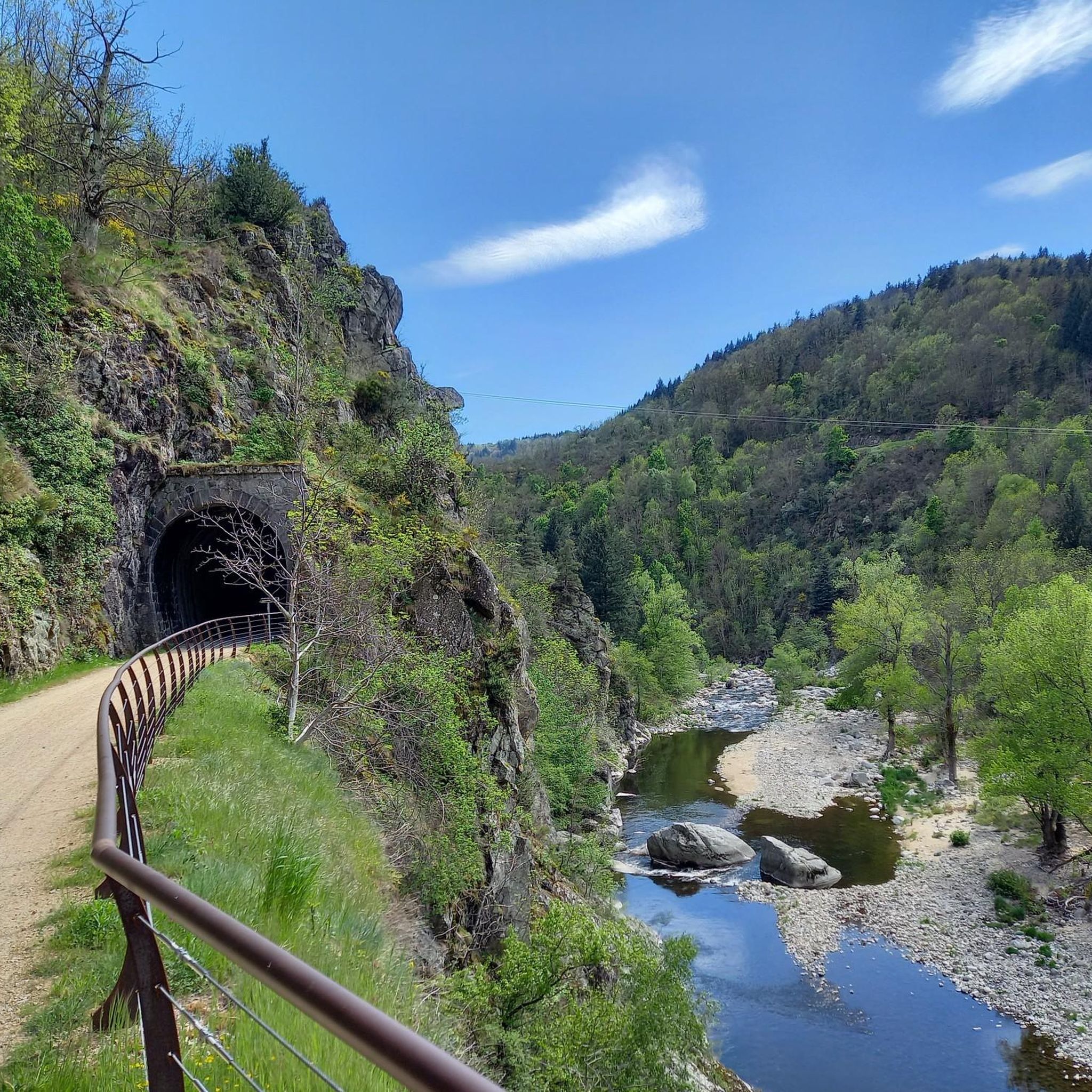
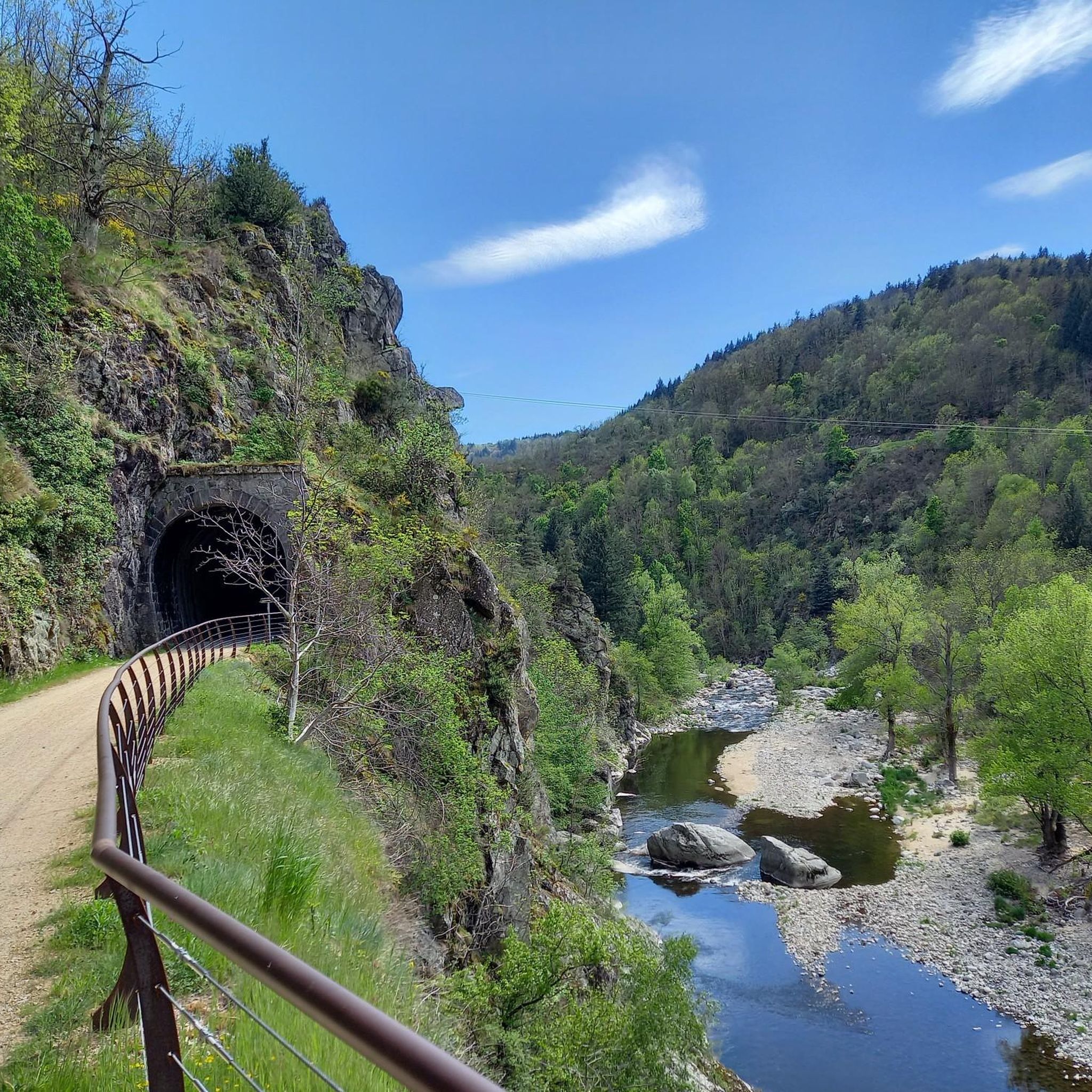
Halfway through the ascent towards Saint Agrève, the surroundings of the Saint Julien Boutières station have been developed to accommodate cyclists and walkers. The station bears witness to the rich industrial and economic past of Boutières
0
0
Arrival point of the Dolce Via and numerous roads, with a magnificent view of the Sucs and the Mézenc
1
0
Frequently Asked Questions
What types of road cycling routes can I find around Saint-Martin-De-Valamas?
The region offers a diverse range of road cycling routes, from challenging ascents through volcanic landscapes to scenic descents along river valleys and mid-mountain paths. You'll find options for various fitness levels, including demanding mountain passes and more moderate circuits. The area is part of the Parc naturel régional des Monts d'Ardèche, providing varied backdrops for your rides.
Are there routes suitable for experienced road cyclists seeking a challenge?
Yes, Saint-Martin-De-Valamas is known for its challenging routes with significant elevation changes. For instance, the Col de la Clède (1,385 m) – Col de la Croix de Boutières loop from Saint-Martin-de-Valamas is a difficult 69.1 km trail with substantial climbs and panoramic mountain views. Another demanding option is the Col des Nonières (671 m) – Saint-Martin-de-Valamas loop from Saint-Julien-d'Intres, offering scenic descents over 45.6 km.
What are some notable natural features or landmarks I might see while cycling?
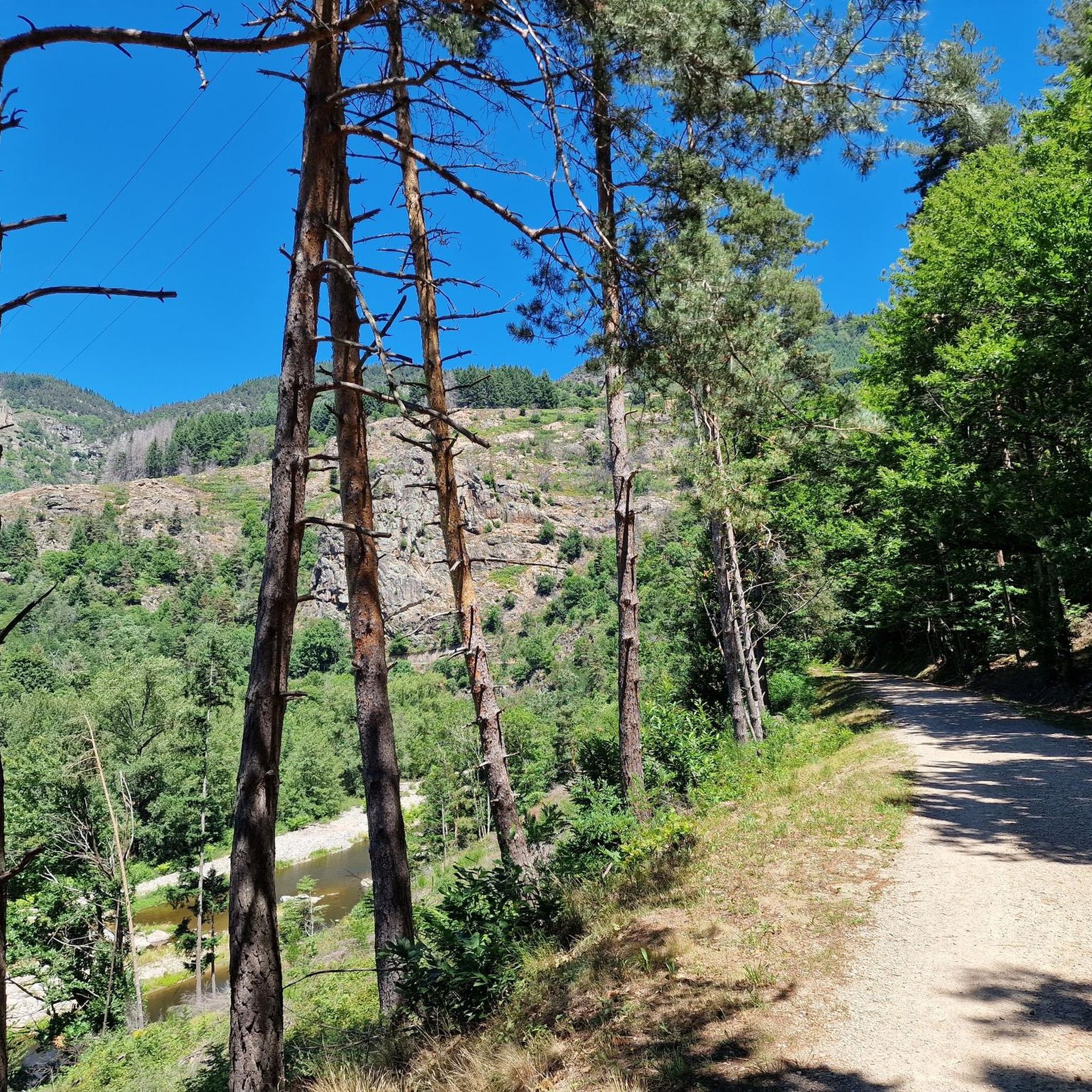
Road cycling routes often feature stunning natural beauty. You can explore volcanic landscapes, pristine lake views, and forested areas. Iconic natural features include Mont Gerbier de Jonc, the source of the Loire River, and Lac d'Issarlès, a deep maar crater lake. You might also pass by the ruins of Rochebonne Castle or the serene Lac des Collanges.
Are there any easier or family-friendly road cycling options?
While many routes are challenging, the region also offers easier options. The 'Dolce Via' is a significant attraction, an old railway line transformed into a greenway, offering gentle gradients through protected countryside. A section of this route connects Saint-Martin-de-Valamas to Saint-Agrève, providing a safe and picturesque experience suitable for families or those seeking a more relaxed ride.
What is the best time of year to go road cycling in Saint-Martin-De-Valamas?
The landscape transforms beautifully with the seasons. Spring is particularly vibrant, with broom flowering and painting the mountains in yellow. The region generally offers pleasant conditions for cycling from spring through autumn, allowing you to enjoy the diverse terrain and scenic beauty.
How many road cycling routes are available in the Saint-Martin-De-Valamas area?
There are over 100 road cycling routes available around Saint-Martin-De-Valamas, catering to various skill levels. This includes 3 easy routes, 37 moderate routes, and 61 difficult routes, ensuring plenty of options for every cyclist.
What do other road cyclists think about the routes in Saint-Martin-De-Valamas?
The road cycling routes in Saint-Martin-De-Valamas are highly rated by the komoot community, with an average score of 4.5 stars from over 60 reviews. More than 2,300 road cyclists have used komoot to explore the varied terrain, often praising the challenging climbs, scenic descents, and panoramic views.
Are there any circular road cycling routes available?
Yes, many of the routes around Saint-Martin-De-Valamas are designed as loops, allowing you to start and end in the same location. An example is the Col de Mézilhac (1,119 m) loop from Mariac, a 39.9 km trail through mid-mountain paths.
Can I find routes that pass by lakes or water bodies?
Absolutely. The region features several beautiful water bodies. The Saint-Martin-de-Valamas – Collanges Dam and Lake loop from Lachapelle-sous-Chanéac is a moderate 38 km route that takes you past the serene Lac des Collanges. Lac d'Issarlès is also a prominent feature in the area, offering scenic views.
What kind of terrain should I expect on the road cycling routes?
The terrain is quite varied, characterized by volcanic landscapes, river valleys, and mid-mountain paths. You'll encounter a mix of challenging ascents and scenic descents, with most surfaces being well-paved. Some segments might include unpaved sections, so it's good to check route details if you prefer entirely paved roads.
Are there specific passes or cols that are popular among cyclists?
Yes, the region is known for its mountain passes. The Col de la Clède (1,385 m) and Col des Nonières (671 m) are featured in popular routes. The Col de Mézilhac (1,119 m) is another notable pass, offering rewarding climbs and views.
How long do road cycling routes typically take to complete?
Route durations vary significantly based on distance and difficulty. For example, the difficult Col de la Clède (1,385 m) – Col de la Croix de Boutières loop (69.1 km) typically takes around 4 hours and 6 minutes. A moderate route like the Col de Mézilhac (1,119 m) loop (39.9 km) can be completed in about 2 hours and 12 minutes.
Most popular routes around Saint-Martin-De-Valamas
Most popular attractions around Saint-Martin-De-Valamas

Get inspired with the komoot mobile app


Explore more
Browse the best Road cycling routes in other regions.
