The best running trails around Puisieulx
4.5
(147)
15,080
runners
377
runs
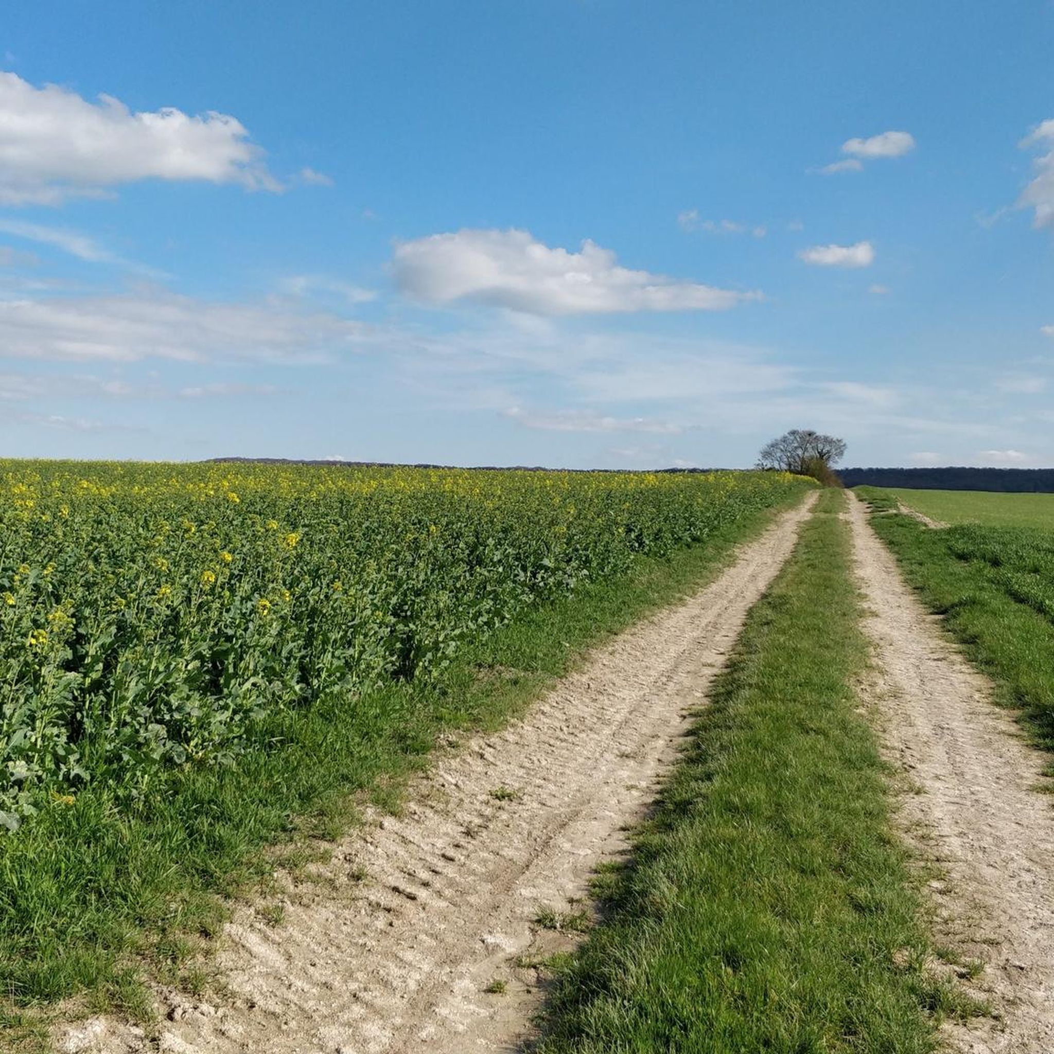
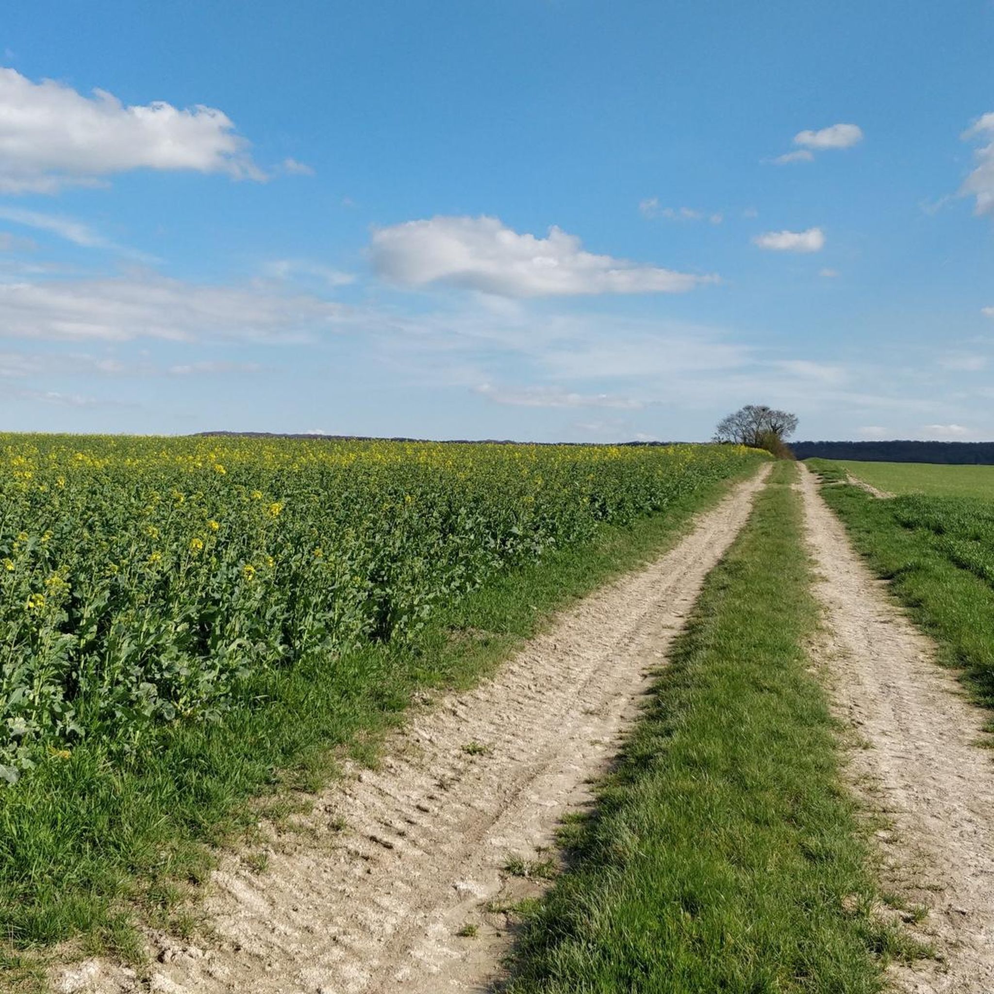
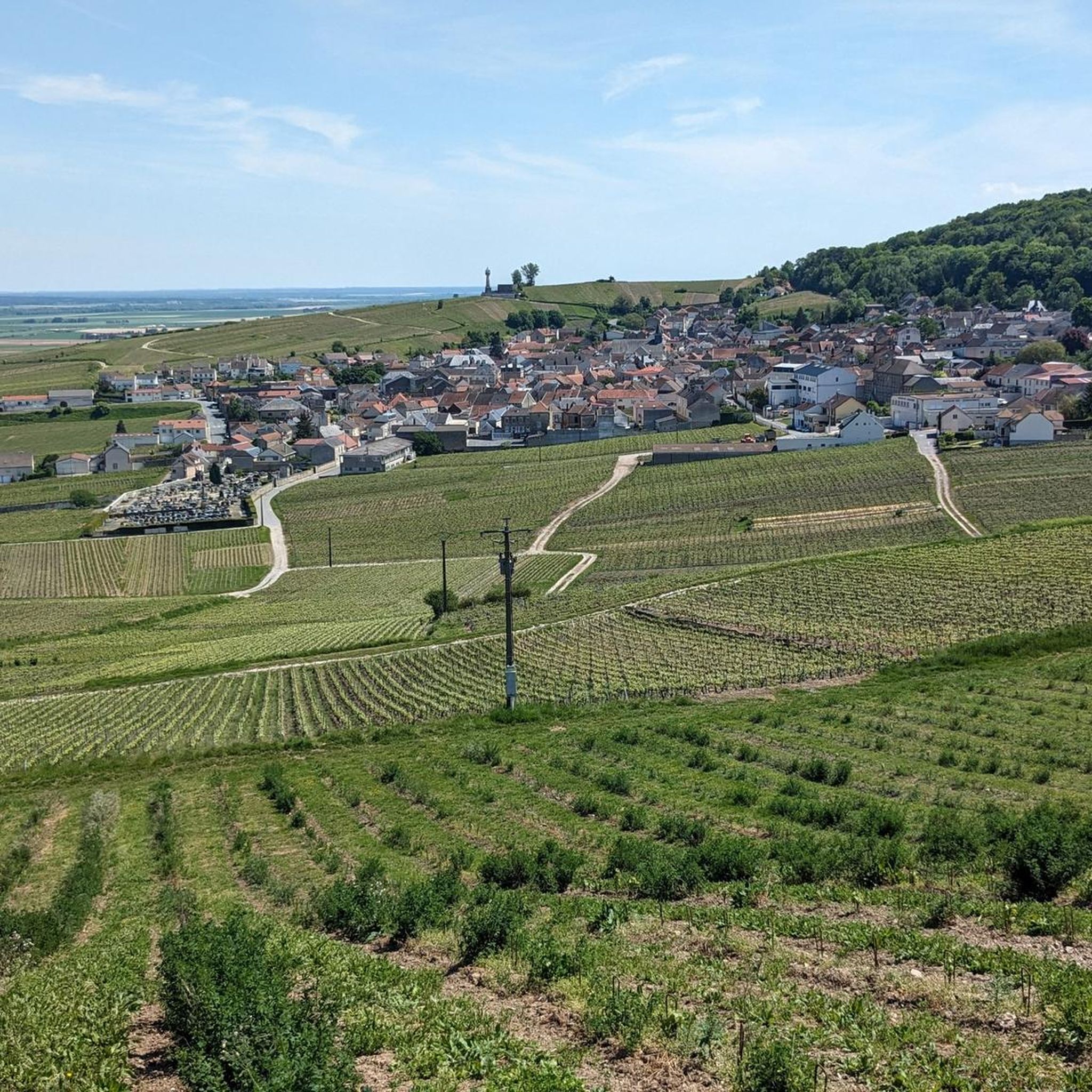
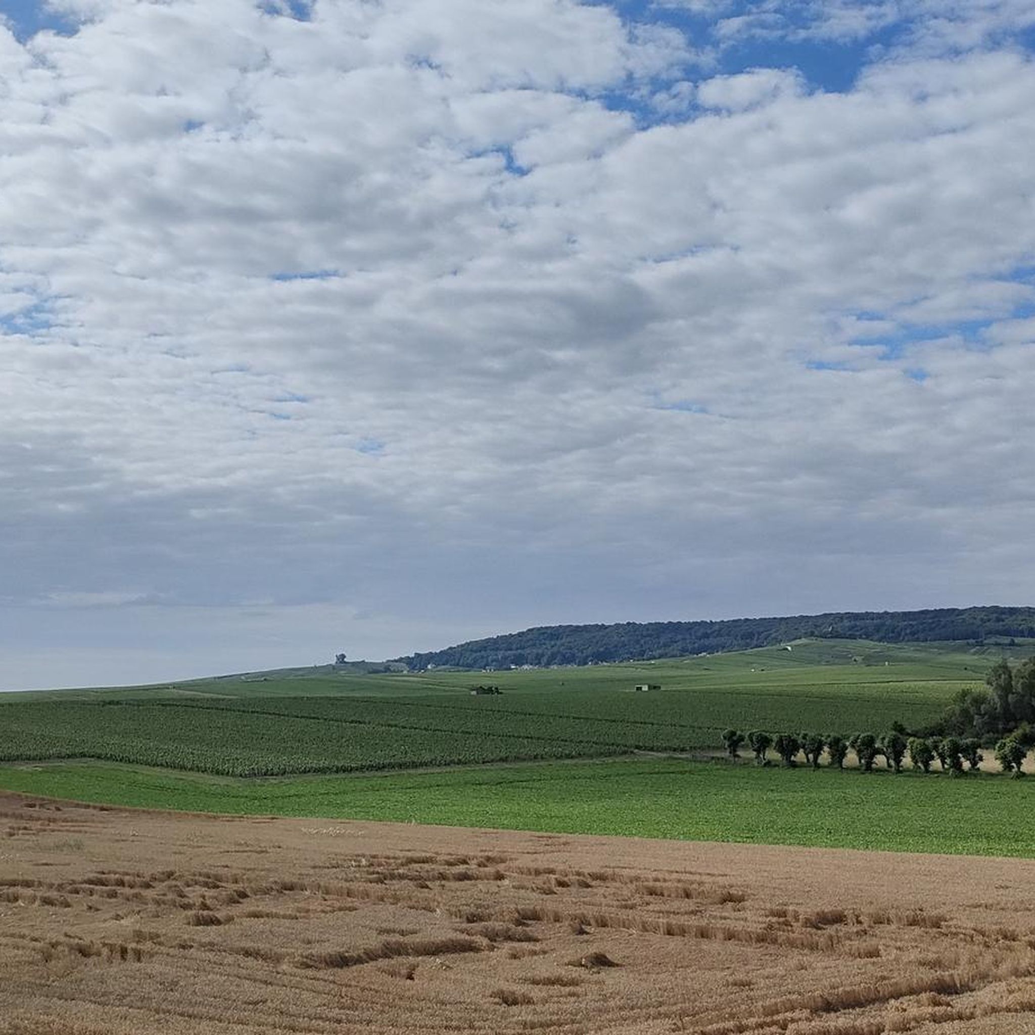
Jogging routes around Puisieulx traverse a landscape characterized by Grand Cru vineyards and the Montagne de Reims Regional Natural Park. The terrain includes vineyard-covered hillsides, offering undulating paths and panoramic views of the Champagne region. Proximity to Reims provides access to urban green spaces and canal-side paths, complementing the natural trails. This blend of agricultural beauty and accessible natural areas offers varied running experiences.
Best jogging routes around Puisieulx
- The most popular jogging route is Coulée Verte de Reims –…
Last updated: July 1, 2026
5.0
(1)
421
runners
Hard run. Very good fitness required. Mostly paved surfaces. Suitable for all skill levels.
4.5
(2)
148
runners
10.1km
01:02
10m
10m
Moderate run. Good fitness required. Mostly paved surfaces. Suitable for all skill levels.

Sign up for free
56
runners
5.43km
00:33
0m
0m
Moderate run. Good fitness required. Mostly paved surfaces. Suitable for all skill levels.
46
runners
11.2km
01:10
20m
20m
Moderate run. Good fitness required. Mostly paved surfaces. Suitable for all skill levels.
16
runners
20.5km
02:09
100m
100m
Hard run. Very good fitness required. Mostly paved surfaces. Suitable for all skill levels.
Get access to more routes and recommendations from other explorers.
Sign up for free
Already have an account?
Our route recommendations are based on thousands of hikes, rides, and runs completed by other people on komoot.
Start today with a free account
Your next adventure awaits.
Login or Signup

Tips from the Community

The Canal de l’Aisne à la Marne is a 58 km-long artificial canal connecting Berry-au-Bac to Condé-sur-Marne, a distance of 58 km. Inaugurated in 1866, it is part of Hugues Cosnier's grandiose plan for an orbital route from the Loire to northern France. The route is still used for commercial traffic, primarily grain transport, while recreational traffic consists primarily of private boats in transit. Along its banks runs the Coulée verte (the green corridor), an 18 km cycle/pedestrian path that crosses the entire metropolitan area of Reims from Pont de Vesle to Sillery.
1
0

The cycle path offers the possibility to park outside and cycle into the city in a relaxed manner.
0
0
The cycle path is absolutely suitable for racing bikes.
0
0

The abbey served as the guardian of the Holy Ampulla (Sainte Ampoule) used in the coronation ceremonies of French kings, and Reims was known as Durocortorum when it served as the capital of the Roman province of Belgica.
4
2
The Saint-Remi Museum in Reims is housed in a former Benedictine abbey that was classified as a UNESCO World Heritage Site in 1991 and officially became a museum in 1978. The museum covers the period from Prehistory to the Renaissance (around 1530) and features regional archaeology collections, classical antiquities, and an extensive military history section
4
2
The Kiosque à musique (Music Stage), in the Jardin de la Patte d'Oie, is an octagonal music pavilion restored in 1994, and brought back to its original state, by the GHM company of Sommevoire. It was built in 1869 by the builders Leturc & Baudet of Paris to a design by the architect Brunette. Charming, elegant and surrounded by greenery, during the "Flâneries musicales" it becomes an open-air music stage.
1
0

The Coulée verte de Reims is a beautiful green strip that stretches for about 24 kilometers along the banks of the canal and the River Vesle. This green corridor offers a variety of recreational options, such as walking, cycling, and jogging. The area has been carefully landscaped to facilitate both relaxation and sporting activities.
11
1
On the other side of the bank is the cycle path along which the V30 (Véloroute de la Somme à la Marne) runs.
8
0
Frequently Asked Questions
How many running routes are available around Puisieulx?
There are over 350 running routes available around Puisieulx, offering a wide variety of options for all skill levels. These include 42 easy routes, 256 moderate routes, and 54 difficult routes.
What kind of terrain can I expect on jogging routes near Puisieulx?
Jogging routes near Puisieulx primarily feature vineyard-covered hillsides, offering undulating paths and panoramic views of the Champagne region. You'll also find trails within the Montagne de Reims Regional Natural Park, providing diverse ecosystems including forests and open spaces. Proximity to Reims also means access to urban green spaces and canal-side paths, offering a mix of paved and gravel sections.
Are there any easy jogging routes suitable for beginners in the Puisieulx area?
Yes, there are several easy routes perfect for beginners. One example is the Aquaduct loop from Sillery, which is approximately 3.1 miles (4.9 km) long and features minimal elevation gain, making it a comfortable option for those starting out.
Can I find routes with scenic views or landmarks while running in Puisieulx?
Absolutely. Many routes offer scenic views of the Grand Cru vineyards and the wider Champagne region. You can also find routes that pass by interesting landmarks. For example, the Sillery National Necropolis loop from Sillery offers a chance to see a historical site. Additionally, highlights like the Coulée Verte de Reims are accessible from some routes, providing pleasant green corridors.
Are the jogging routes around Puisieulx suitable for families?
Yes, many of the routes are suitable for families, especially the easier and moderate options that traverse flatter sections or well-maintained paths. The diverse environment, including urban green spaces and canal-side paths, provides safe and enjoyable settings for family runs.
What about bringing my dog on the trails in Puisieulx?
The Montagne de Reims Regional Natural Park and surrounding areas generally welcome dogs, but it's always recommended to keep them on a leash, especially when passing through vineyards or near wildlife. Always check local signage for specific rules on individual trails.
Are there any circular running routes available?
Yes, many of the running routes around Puisieulx are designed as circular loops. For instance, the popular Aquaduct loop from Gare de Sillery is a moderate 6.3 miles (10.1 km) circular path that follows a historic aqueduct, providing a convenient and engaging run.
What is the best time of year to go jogging in Puisieulx?
The best time to jog in Puisieulx is typically during spring and autumn when the weather is mild and the landscapes are particularly beautiful, with blooming vineyards or vibrant autumn foliage. Summer mornings and evenings also offer pleasant conditions, while winter can be suitable on clear days, though some paths might be muddy.
How long are the typical running routes in Puisieulx?
The running routes in Puisieulx vary significantly in length. You can find shorter loops, such as the Running loop from Sillery at 3.4 miles (5.4 km), perfect for a quick run. There are also much longer options, like the challenging Coulée Verte de Reims – Allée des Tilleuls loop from Gare de Sillery, which spans 14.1 miles (22.6 km).
Are there options for public transport to access running trails near Puisieulx?
While Puisieulx is a village, its proximity to Reims means that some trails, especially those closer to the city, might be accessible via public transport connections from Reims. For routes starting directly in Puisieulx, personal transport is generally more convenient.
What do other runners say about the jogging experience in Puisieulx?
The jogging routes around Puisieulx are highly rated by the komoot community, with an average score of 4.4 stars from over 150 reviews. Runners often praise the picturesque landscapes, the variety of terrain from vineyards to natural park trails, and the well-maintained paths that cater to different ability levels.
Are there any places to explore or points of interest along the running trails?
Beyond the vineyards and natural park, you can encounter various points of interest. Some routes might lead you near the Subé fountain or offer views of the Caves of the Montagne de Reims. The region also features historical sites like the Mars Gate in nearby Reims, which can be part of longer running excursions.
Are there any challenging running routes for experienced joggers?
Yes, experienced joggers will find challenging options. The region offers routes with significant distances and some elevation changes, particularly within the Montagne de Reims Regional Natural Park. The Coulée Verte de Reims – Allée des Tilleuls loop from Gare de Sillery, for example, is classified as difficult, covering over 14 miles (22 km) and providing a substantial workout.
Most popular attractions around Puisieulx

Get inspired with the komoot mobile app


Explore more
Browse the best Running Trails & Routes in other regions.
