The best running trails around Balagny-Sur-Thérain
4.3
(107)
2,356
runners
234
runs
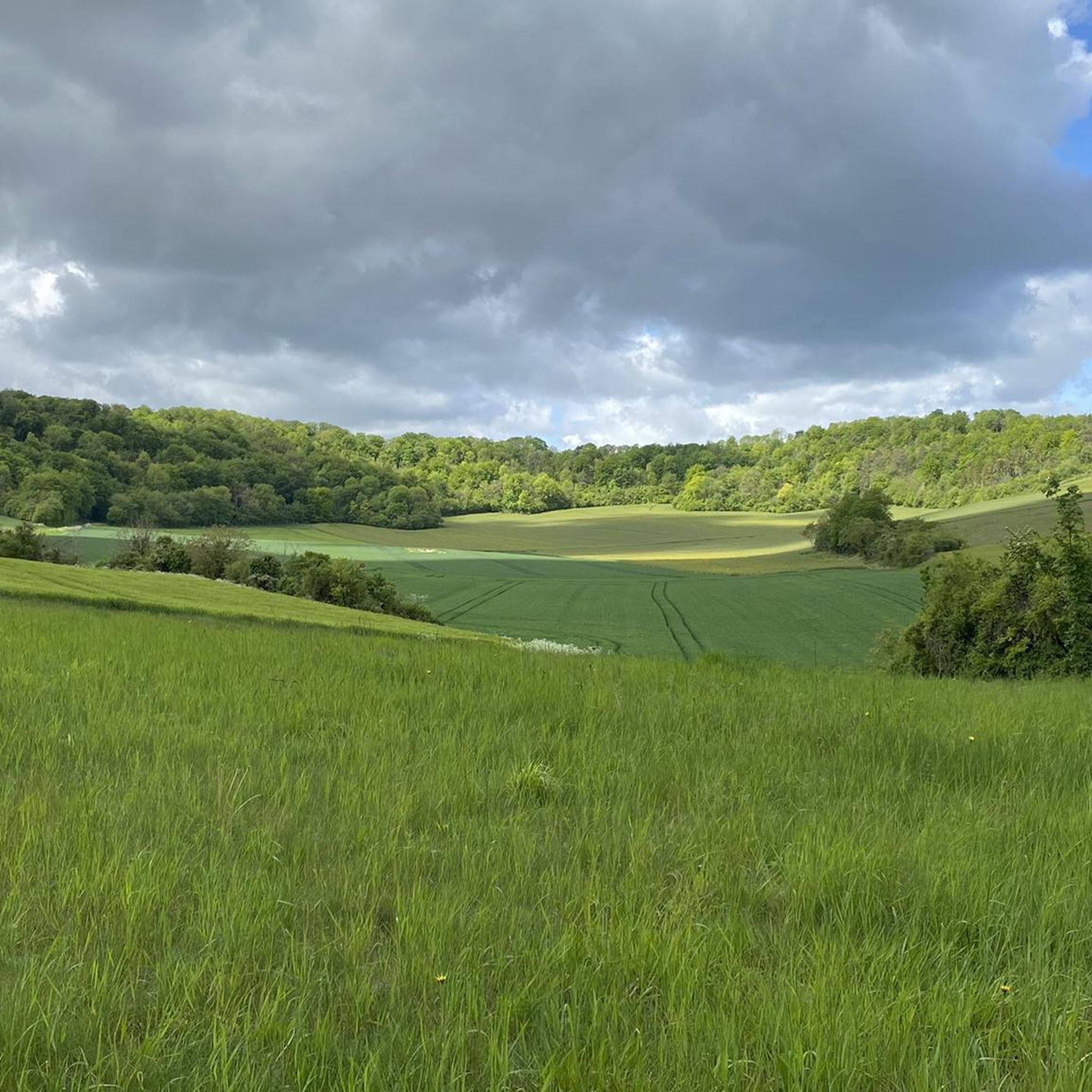
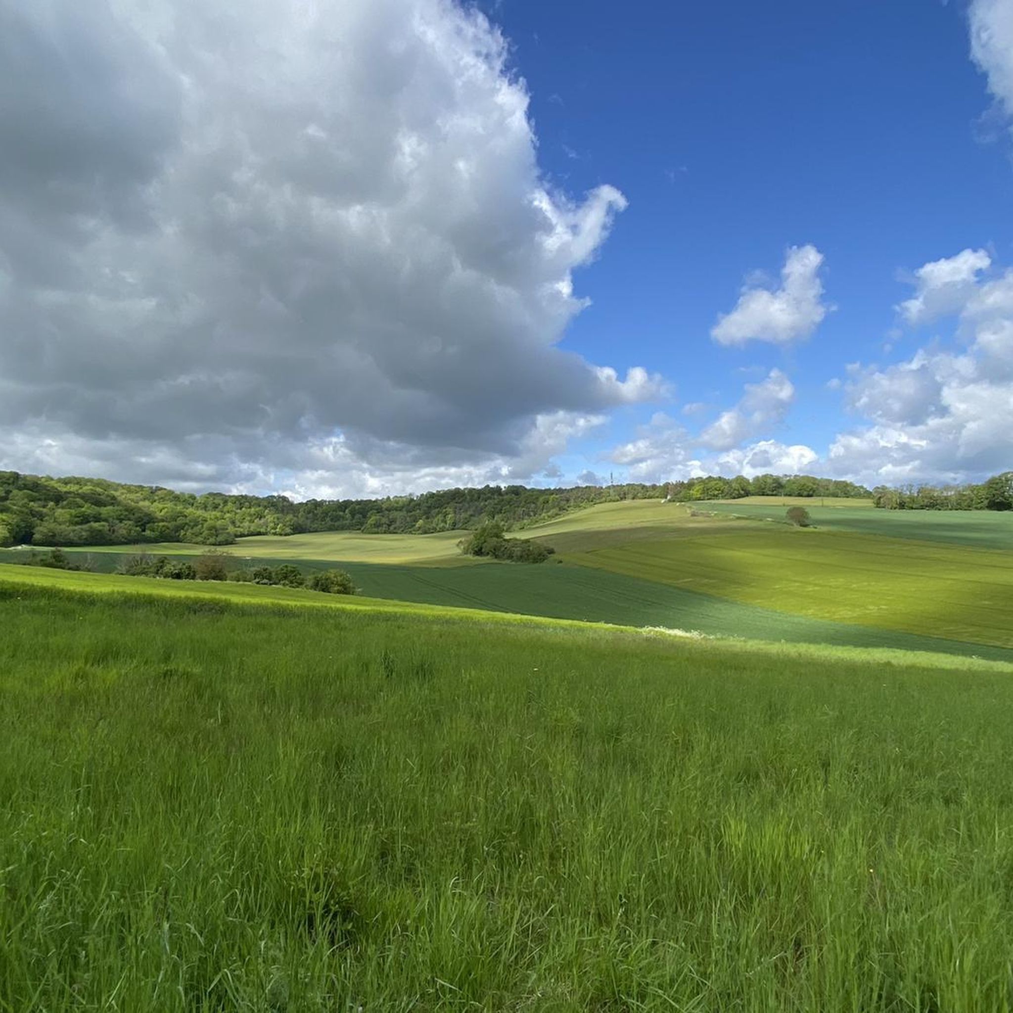
Jogging routes around Balagny-Sur-Thérain offer varied landscapes, including the alluvial plain of the Thérain river and surrounding forested areas. The region features a mix of flat riverside paths, open fields, and trails leading through local villages. Proximity to larger forests like Forêt de Hez-Froidmont provides options for longer running routes. Mont César also offers trails with inclines and panoramic views over the Thérain Valley.
Best jogging routes around Balagny-Sur-Thérain
- The most popular jogging route is Château de Mello loop from…
Last updated: July 8, 2026
14
runners
10.8km
01:07
40m
40m
Moderate run. Good fitness required. Mostly paved surfaces. Suitable for all skill levels.
10
runners
6.48km
00:40
30m
30m
Moderate run. Good fitness required. Mostly paved surfaces. Suitable for all skill levels.

Sign up for free
11
runners
15.4km
01:36
60m
60m
Hard run. Very good fitness required. Mostly paved surfaces. Suitable for all skill levels.
7
runners
8.60km
00:54
80m
80m
Moderate run. Good fitness required. Mostly paved surfaces. Suitable for all skill levels.
6
runners
5.62km
00:37
70m
70m
Moderate run. Good fitness required. Mostly paved surfaces. Suitable for all skill levels.
Get access to more routes and recommendations from other explorers.
Sign up for free
Already have an account?
Our route recommendations are based on thousands of hikes, rides, and runs completed by other people on komoot.
Start today with a free account
Your next adventure awaits.
Login or Signup


Frequently Asked Questions
How many running routes are available around Balagny-sur-Thérain?
There are over 230 running routes around Balagny-sur-Thérain, catering to various fitness levels and preferences. The komoot community has explored these trails over 2000 times.
What types of landscapes can I expect on jogging routes in Balagny-sur-Thérain?
Jogging routes in Balagny-sur-Thérain offer a diverse mix of landscapes. You'll find paths along the alluvial plain of the Thérain river, through open fields, and into surrounding forested areas. The region's proximity to larger forests like Forêt de Hez-Froidmont and Forêt de Chantilly also provides opportunities for more extensive forest runs.
Are there easy running routes suitable for beginners in Balagny-sur-Thérain?
Yes, Balagny-sur-Thérain offers several easy running routes perfect for beginners. While most routes are moderate, there are 17 identified as easy, typically featuring flatter terrain along the river or through fields, providing a gentle introduction to the area's natural beauty.
What do other runners enjoy most about the trails in Balagny-sur-Thérain?
The running trails in Balagny-sur-Thérain are highly rated by the komoot community, with an average score of 4.2 stars from over 90 reviews. Runners often praise the varied terrain, from peaceful riverside paths to scenic forest sections, and the opportunity to explore local villages and historical points.
Are there any circular running routes in the area?
Many of the running routes around Balagny-sur-Thérain are circular, allowing you to start and finish in the same location. An example is the Running loop from Balagny-sur-Thérain, which is a moderate 9.7 km path exploring village streets and local historical points.
What kind of elevation changes can I expect on the running trails?
The elevation changes vary across the region. Routes along the Thérain river plain tend to be flatter. However, some routes, like the local 'Sur les hauteurs de Balagny' circuit, can feature cumulative elevation gains of around 123 meters, offering a more challenging workout and scenic views from higher ground.
Are there any interesting landmarks or natural features to see along the jogging routes?
Yes, the region is rich in points of interest. You can discover historical sites like the ancient quarries of Foulangues and the Ferme des Templiers. Natural features include the Thérain river itself, and you can even find a marker for the Paris Meridian near the town hall. For scenic views, consider the View of the Thérain Valley from Mont César.
Are the running routes in Balagny-sur-Thérain suitable for families?
Many of the easier and moderate routes, especially those along the river or through less challenging forested sections, can be suitable for families. Look for routes with minimal elevation gain and shorter distances if running with children. The diverse landscapes offer engaging scenery for all ages.
Can I bring my dog on the running trails?
Generally, dogs are welcome on many outdoor trails in the region, especially in natural areas like forests and open fields. However, it's always advisable to keep your dog on a leash, especially near livestock or in protected natural zones, and to check local regulations for specific routes or nature reserves.
Are there any longer running routes for more experienced runners?
Absolutely. For experienced runners seeking longer distances, the proximity to expansive forests like Forêt de Hez-Froidmont and Forêt de Chantilly (10-19 km away) provides extensive networks of trails. Within the immediate area, routes like the Étang municipal loop from Mouy - Bury offer a good challenge at 13.9 km.
Where can I find parking for the running trails in Balagny-sur-Thérain?
As a rural area, parking is generally available in or near the villages that serve as starting points for many routes. You can often find public parking in village centers, near churches, or at designated trailheads. For specific routes, checking the route details on komoot or local signage is recommended.
What is a unique historical feature I might encounter on a run?
A unique historical feature is the Paris Meridian, which passes directly through Balagny-sur-Thérain. You can find a special marker stone and a Ginkgo tree near the town hall and church, integrated into local hiking and running trails, offering a distinctive point of interest during your run.
Are there any routes that explore nearby villages?
Yes, several routes connect Balagny-sur-Thérain to nearby villages, offering a mix of natural scenery and glimpses of rural life. For example, the Château de Mello loop from Cires-lès-Mello is a 12.0 km route that explores the surroundings of Mello.
Most popular attractions around Balagny-Sur-Thérain

Get inspired with the komoot mobile app


Explore more
Browse the best Running Trails & Routes in other regions.
