The best walks and hikes around Le Fau
4.5
(831)
7,075
hikers
13
hikes
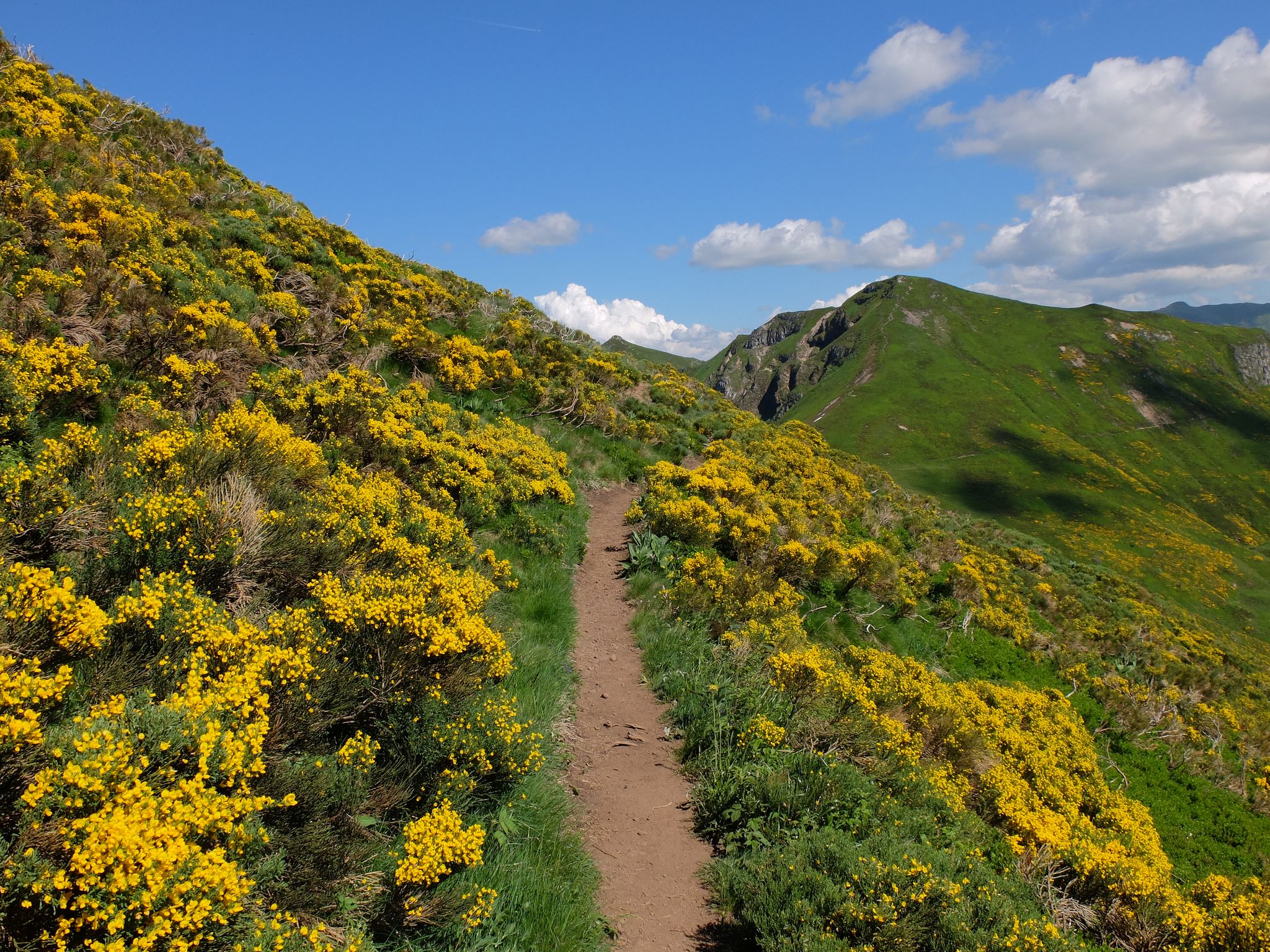
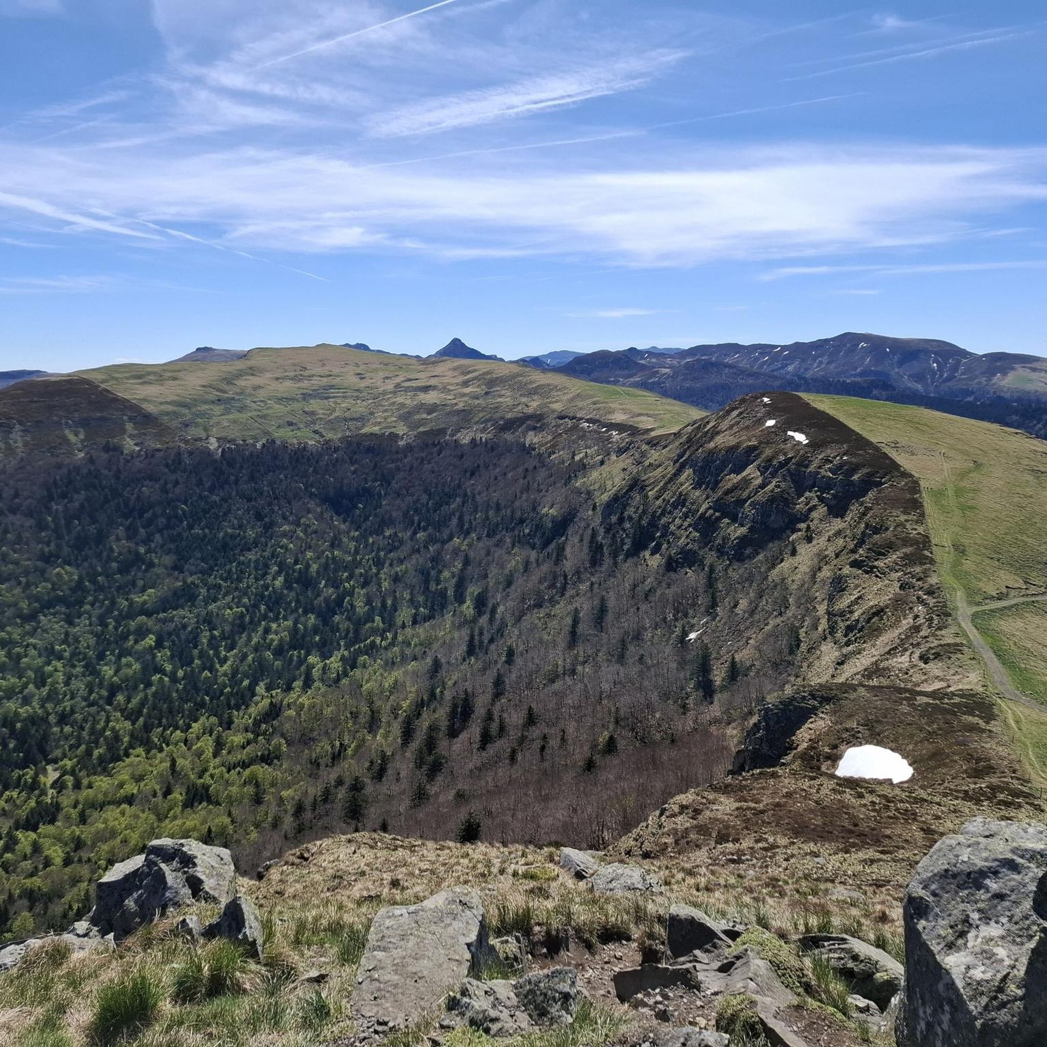
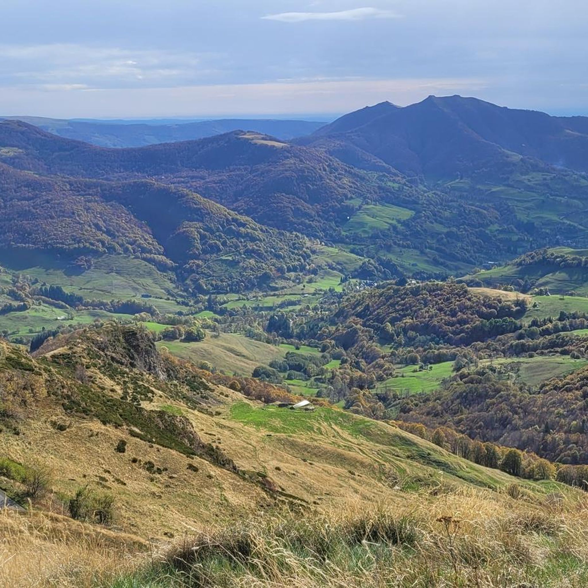
Hiking around Le Fau provides access to the Cantal volcanic massif, a region characterized by ancient volcanic landscapes, glacial valleys, and high ridges. The area features diverse terrain, including verdant valleys, craggy peaks, and expansive high-altitude plateaus. Hikers can explore beech forests and picturesque summer pastures within the Auvergne Volcanoes Regional Natural Park.
Best hiking trails around Le Fau
- The most popular hiking route is Roc d'Hozières et Roc des Ombres – loop starting from Le Fau – Parc naturel…
Last updated: June 25, 2026
4.0
(6)
34
hikers
Moderate hike. Good fitness required. Mostly accessible paths. Sure-footedness required.
4.5
(13)
243
hikers
29.6km
10:47
1,460m
1,460m
Hard hike. Very good fitness required. Mostly accessible paths. Sure-footedness required.

Sign up for free
5.0
(1)
23
hikers
17.0km
05:55
860m
860m
Hard hike. Very good fitness required. Mostly accessible paths. Sure-footedness required.
4.2
(5)
16
hikers
6.71km
01:59
200m
200m
Easy hike. Great for any fitness level. Easily-accessible paths. Suitable for all skill levels.
4.8
(4)
16
hikers
10.3km
03:32
550m
550m
Moderate hike. Good fitness required. Easily-accessible paths. Suitable for all skill levels.
Get access to more routes and recommendations from other explorers.
Sign up for free
Already have an account?
Our route recommendations are based on thousands of hikes, rides, and runs completed by other people on komoot.
Start today with a free account
Your next adventure awaits.
Login or Signup

Other adventures around Le Fau

Tips from the Community

Ruin of a typical buron. A kind of "mountain hut" in stone that was used by the herders of the cows during the (summer) months until the 1950s. Roughly speaking, from mid-May to mid-October, the cows were brought from the valley to the mountain pasture. The shepherds/guardians of the herd stayed in a buron during that time to take care of the animals and also to produce cheese. (https://fr.wikipedia.org/wiki/Buron)
0
0

The Brèche d'Enfloquet forms the passage between the Vallée du Mars and the Vallée de l'Aspre.
0
0
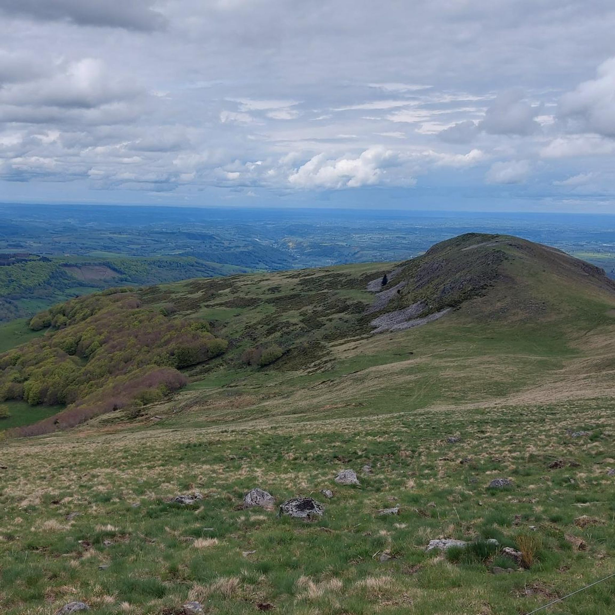
The Roc d'Hozières dominates the Mars valley and the Falgoux forest at 1,614 m and thus offers a magnificent view of the Puy Mary.
1
0
The Roc des Ombres dominates the Vallée du Mars and the Vallée de l'Aspre at an altitude of 1,614 m.
1
0
All Cantalous people know the Brèche de Roland on the flanks of Puy Mary (and whose name obviously refers to that of the Pyrenees), but the Brèche d'Enfloquet, which constitutes the passage between the Vallée du Mars and the Vallée de l' Aspre is another impressive site in the Cantal massif during a hike.
2
0

Very good etape restaurant and the villagers are very pleasant
0
0

Magnificent stone buildings built to make an above-ground cellar, the burons are emblematic of the Monts du Cantal, and cheese was once made there during the summer.
1
0
Frequently Asked Questions
What types of hiking trails are available around Le Fau?
The Le Fau area, nestled within the Cantal volcanic massif, offers a diverse range of hiking trails. You'll find everything from easy strolls through verdant valleys to challenging ascents across craggy peaks and high-altitude plateaus. Many routes traverse ancient beech forests and picturesque summer pastures within the Auvergne Volcanoes Regional Natural Park. There are 12 routes in total, including 2 easy, 6 moderate, and 4 difficult options.
Are there any easy, family-friendly hikes near Le Fau?
Yes, there are several easy trails suitable for families. For instance, the Fau waterfall loop from Le Fau is a 4.2-mile (6.7 km) easy trail that leads through varied landscapes to a beautiful waterfall, typically completed in under 2 hours. This route is a great option for a relaxed outing.
Can I find circular hiking routes in the Le Fau region?
Absolutely. Many of the trails around Le Fau are designed as loops, allowing you to start and end at the same point. A popular example is the Roc d'Hozières et Roc des Ombres – loop starting from Le Fau, a moderate 8.9-mile (14.3 km) trail offering scenic views within the regional natural park.
Are there any waterfalls to see on hikes around Le Fau?
Yes, the region features natural attractions like waterfalls. The Fau waterfall loop from Le Fau is specifically designed to take you to a local waterfall, making it a popular choice for those looking to enjoy this natural feature.
What are some notable natural landmarks or viewpoints accessible by hiking near Le Fau?
The Le Fau area is rich in natural landmarks and offers stunning viewpoints. You can hike to prominent summits like Puy Mary Summit or Puy Peyre-Arse, which provide panoramic views of the volcanic landscapes. Other notable features include mountain passes such as Pas de Peyrol Pass (1,589 m) and Roland's Breach.
What do other hikers say about the trails in Le Fau?
The hiking routes in Le Fau are highly regarded by the komoot community, holding an impressive average rating of 4.5 stars from over 790 reviews. Hikers often praise the diverse volcanic terrain, the beauty of the beech forests, and the expansive summer pastures. Over 6,000 visitors have used komoot to explore the area, indicating its popularity and quality.
Is it possible to hike to Puy Violent from Le Fau?
Yes, you can access trails leading towards Puy Violent. The GR 400 to Puy Violent – Puy Violent loop from Le Falgoux is a challenging 18.4-mile (29.6 km) route that follows a section of the renowned GR400, traversing the demanding volcanic terrain of the area.
Are there any permits required for hiking in the Auvergne Volcanoes Regional Natural Park?
Generally, no specific permits are required for day hiking on marked trails within the Auvergne Volcanoes Regional Natural Park. However, it's always advisable to check with the local tourist office or park authority for any specific regulations, especially if you plan to undertake activities beyond standard hiking or during certain seasons.
What is the best season for hiking around Le Fau?
The best time for hiking around Le Fau is typically from spring through autumn. During these seasons, the weather is generally more favorable, and the landscapes are vibrant. Spring brings blooming flora, summer offers warm days for high-altitude exploration, and autumn showcases beautiful fall colors in the forests. Winter hiking is possible but requires appropriate gear and experience due to snow and colder conditions.
Are there any moderate-difficulty hikes that offer good views?
Yes, for a moderate challenge with rewarding views, consider the Buron Chavaspre loop from Le Fau. This 6.3-mile (10.2 km) route involves a significant elevation gain of over 500 meters and takes approximately 3.5 hours to complete, offering excellent vistas of the surrounding volcanic landscape.
Where can I find parking for hiking trails near Le Fau?
Many hiking trails around Le Fau, especially those starting directly from the village or nearby hamlets, typically have designated parking areas. For specific routes, it's recommended to check the tour details on komoot, as parking information is often included in the route descriptions or starting point details.
Is public transport available to access hiking trails around Le Fau?
While Le Fau is a small village, public transport options might be limited for direct access to all trailheads. It's best to research local bus services that connect Le Fau with larger towns in the Cantal region. For more remote trail starts, a car is often the most convenient option. Always check current schedules and routes with local transport providers.
Most popular attractions around Le Fau

Get inspired with the komoot mobile app


Explore more
Browse the best Hikes in other regions.
