The best walks and hikes around Saint-Projet-De-Salers
4.5
(1619)
14,157
hikers
339
hikes
Hiking around Saint-Projet-De-Salers offers exploration of the dramatic volcanic landscapes within the Monts du Cantal, part of the Auvergne Volcanoes Regional Natural Park. The region features rugged terrain, including prominent peaks like Puy Mary and Plomb du Cantal, alongside numerous valleys. A network of well-established trails caters to various skill levels, showcasing the area's diverse natural features.
Best hiking trails around Saint-Projet-De-Salers
- The most popular hiking route is Roc d'Hozières et Roc des Ombres – loop starting from Le Fau…
Last updated: July 7, 2026
4.0
(6)
34
hikers
Moderate hike. Good fitness required. Mostly accessible paths. Sure-footedness required.
4.6
(10)
55
hikers
16.6km
05:21
700m
700m
Hard hike. Very good fitness required. Mostly accessible paths. Sure-footedness required.

Sign up for free
4.7
(15)
108
hikers
9.73km
04:04
580m
570m
Hard hike. Good fitness required. Sure-footedness, sturdy shoes and alpine experience required.
4.7
(7)
128
hikers
19.2km
07:02
950m
950m
Hard hike. Very good fitness required. Sure-footedness, sturdy shoes and alpine experience required.
4.3
(3)
98
hikers
25.9km
10:16
1,470m
1,470m
Hard hike. Very good fitness required. Sure-footedness, sturdy shoes and alpine experience required.
Get access to more routes and recommendations from other explorers.
Sign up for free
Already have an account?
Our route recommendations are based on thousands of hikes, rides, and runs completed by other people on komoot.
Start today with a free account
Your next adventure awaits.
Login or Signup
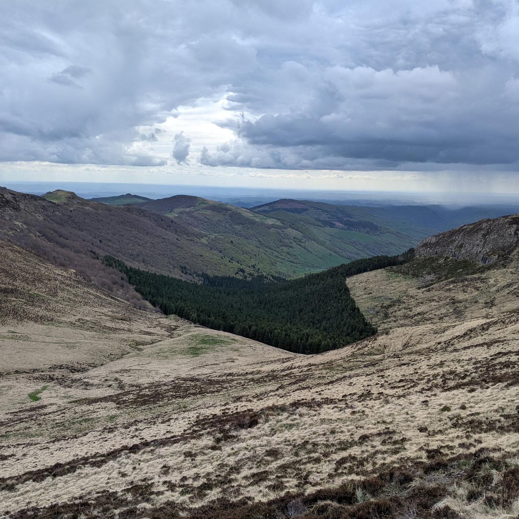
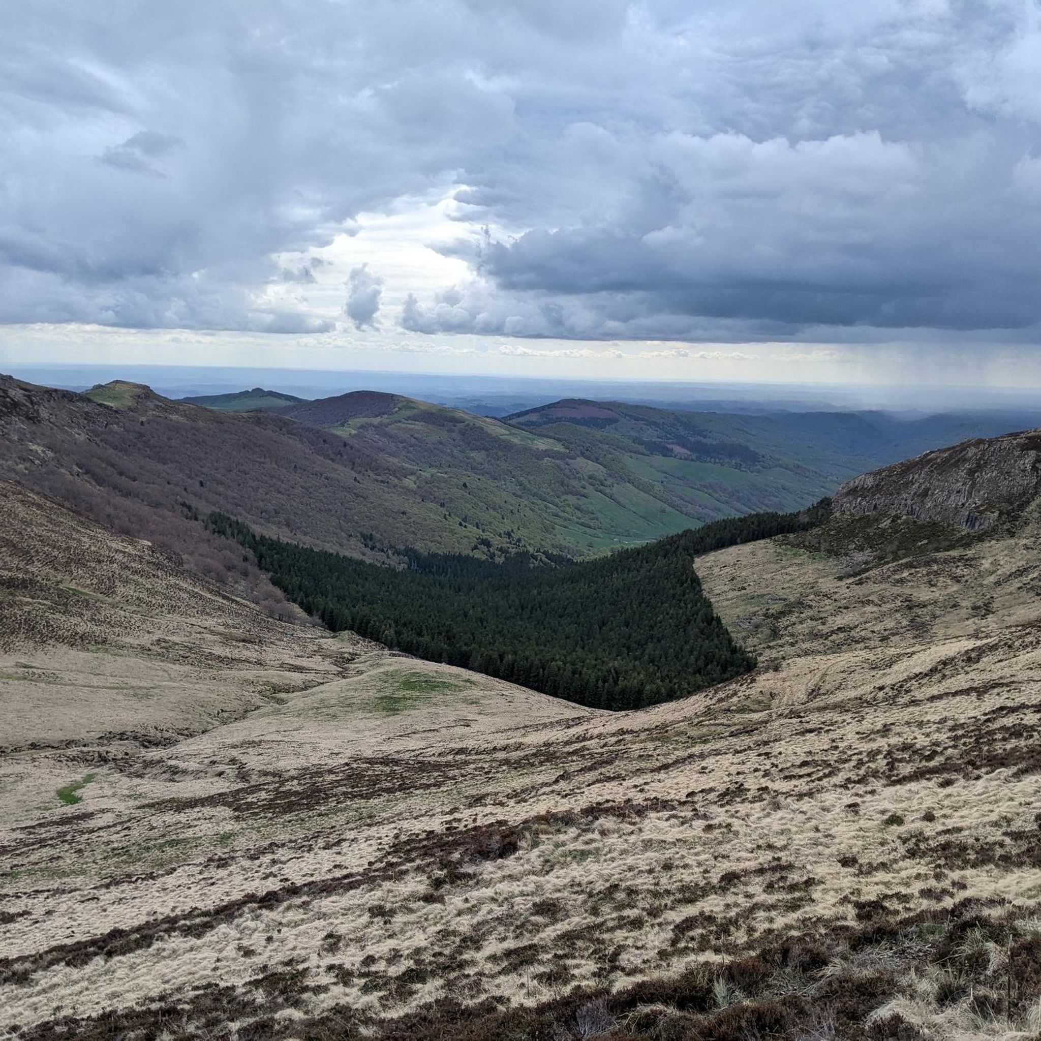
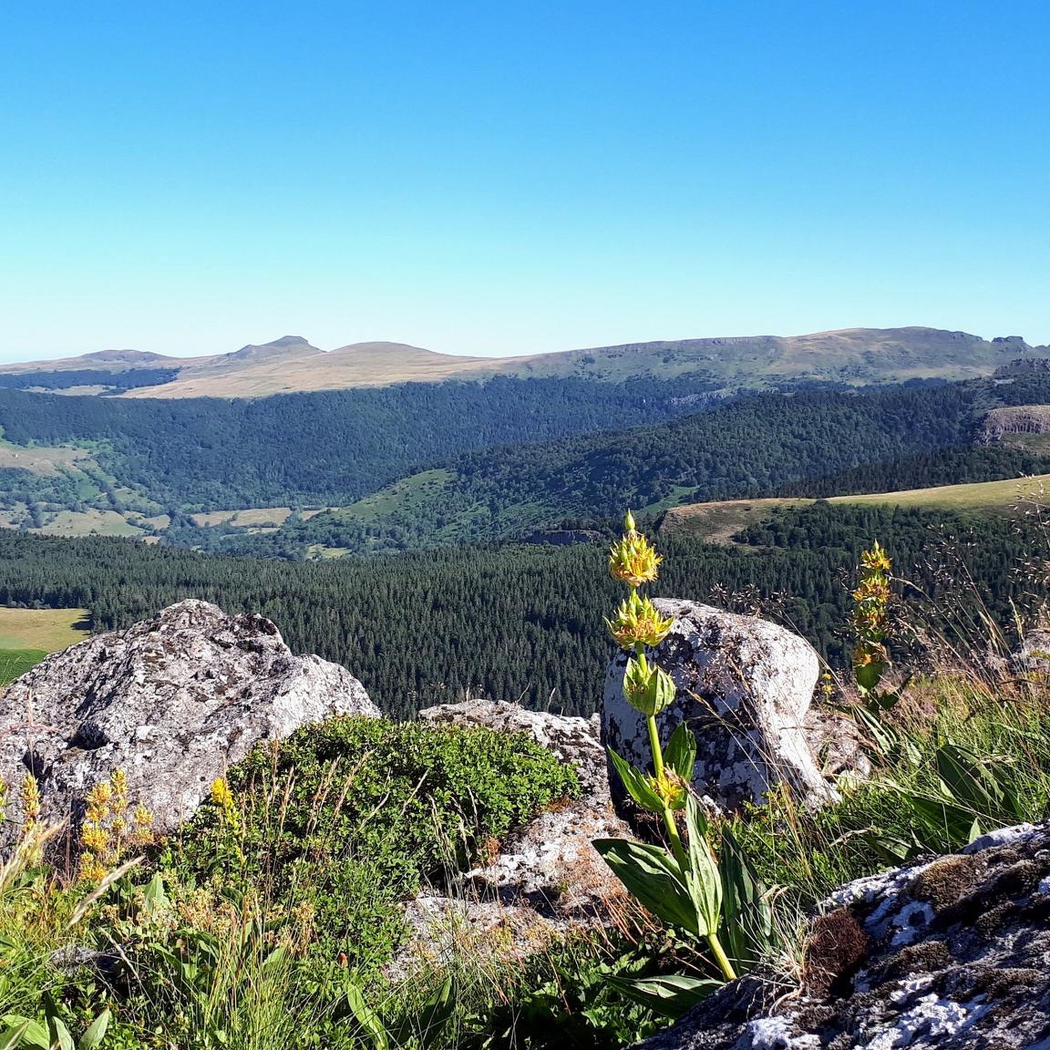
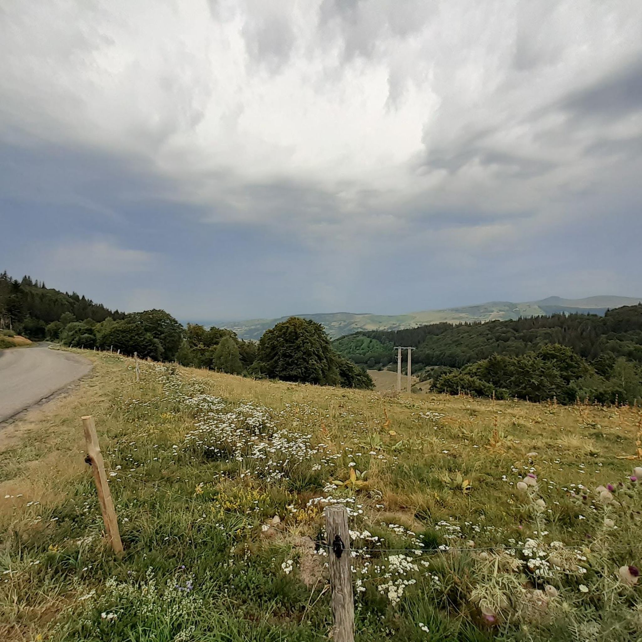

Tips from the Community


A magnificent site where the panoramas are breathtaking!!!
0
0

Rain, visibility 1m, but otherwise great
0
0

Ruin of a typical buron. A kind of "mountain hut" in stone that was used by the herders of the cows during the (summer) months until the 1950s. Roughly speaking, from mid-May to mid-October, the cows were brought from the valley to the mountain pasture. The shepherds/guardians of the herd stayed in a buron during that time to take care of the animals and also to produce cheese. (https://fr.wikipedia.org/wiki/Buron)
0
0

nice climb and good visibility over the valley
0
0

Col de Légal, at an altitude of 1,231 meters, on the beautiful Route des Crêtes. It allows you to go from the Doire valley to the Bertrande valley, in the heart of the Pays de Salers. There you will find a small inn open all year round.
0
0

The cairn was originally nicknamed the nickname bonhomme due to its shape seen from afar. But since the man it is well deformed
0
0

The Redondet pass, between the Jordanne and Mars valleys (Falgoux circus), offers magnificent views of the latter.
0
0
Frequently Asked Questions
How many hiking trails are available around Saint-Projet-De-Salers?
The Saint-Projet-De-Salers area offers a vast network of hiking opportunities, with over 320 routes available on komoot. These range from easy strolls to challenging multi-day treks, catering to all experience levels within the dramatic volcanic landscapes of the Monts du Cantal.
Are there easy hiking options suitable for families in Saint-Projet-De-Salers?
Yes, there are numerous easy hiking options perfect for families. The region features many local trails that wind through forests, pastures, and hamlets, offering a gentle introduction to the Cantal landscape. For example, a pleasant 9 km circuit around Saint-Projet-de-Salers itself leads through varied scenery. You can find over 60 easy routes in the area.
Can I bring my dog on the hiking trails in this region?
Many trails in the Saint-Projet-De-Salers region are dog-friendly, allowing you to explore the volcanic landscapes with your canine companion. However, it's always recommended to keep dogs on a leash, especially in areas with livestock like the local Salers cattle, and to check specific trail regulations or protected areas before you go.
Are there any circular hiking routes available?
Yes, circular routes are a popular way to experience the diverse scenery of Saint-Projet-De-Salers. Many trails are designed as loops, allowing you to start and end at the same point. An example is the challenging Puy Chavaroche Loop from Col de Légal, which offers panoramic vistas after ascending 'the goat mountain'.
What kind of natural landmarks or points of interest can I see while hiking?
The region is rich in natural landmarks, primarily its majestic volcanic peaks and deep valleys. You can hike to the summit of Puy Mary, a 'Grand Site de France' offering 360° views, or explore the highest peak in Cantal, Plomb du Cantal. Other notable points include Puy Peyre-Arse and the dramatic Roland's Breach along the ridges.
Are there any trails that feature waterfalls near Saint-Projet-De-Salers?
While the region is more renowned for its volcanic peaks and deep valleys, the landscape is sculpted by numerous rivers and streams, such as the Bertrande, Cère, and Jordanne. These waterways often create smaller cascades, particularly after rainfall. For specific waterfall trails, local inquiry or detailed maps are recommended, as they might be less prominent than the major peaks.
What is the best time of year to go hiking in Saint-Projet-De-Salers?
The best time for hiking in Saint-Projet-De-Salers is generally from late spring to early autumn (May to October). During these months, the weather is milder, and the trails are more accessible. Summer offers lush greenery and vibrant wildflowers, while autumn brings stunning fall foliage. Winter hiking is possible but requires appropriate gear and experience due to snow and ice, especially at higher elevations.
What makes the geology of Saint-Projet-De-Salers unique for hikers?
The geology of Saint-Projet-De-Salers is defined by its location within the Monts du Cantal, part of the Auvergne Volcanoes Regional Natural Park. This area is a vestige of Europe's largest stratovolcano, creating a distinctive and rugged landscape. Hikers will encounter basaltic plateaus, ancient volcanic cones, and valleys carved by glacial erosion, offering a unique geological journey with every step.
Are there options for advanced or challenging hikes?
Absolutely. The region is a paradise for experienced hikers seeking a challenge. With over 120 difficult routes, you can tackle ascents like the Col de Légal – Refuge de Cabrespine loop from Col de Légal, which covers nearly 20 km with significant elevation gain. The GR400 long-distance trail also offers multi-day, challenging loops across the Cantal Massif.
Is public transport available to access hiking trailheads?
Accessing some remote trailheads in the Monts du Cantal primarily relies on personal vehicles. While there might be limited local bus services connecting larger towns, direct public transport to many specific hiking starting points can be scarce. It's advisable to check local transport schedules in advance or consider carpooling for greater flexibility.
Where can I find parking for hiking trails in Saint-Projet-De-Salers?
Many popular trailheads, especially those leading to major peaks or well-known routes, typically have designated parking areas. For instance, the Col de Légal serves as a starting point for several hikes and offers parking. Smaller, local trails might have limited roadside parking in nearby hamlets. Always ensure you park responsibly and do not obstruct local access.
What do other hikers enjoy most about the trails in Saint-Projet-De-Salers?
The trails around Saint-Projet-De-Salers are highly rated by the komoot community, with an average score of 4.5 stars from over 1300 reviews. Hikers frequently praise the breathtaking panoramic views from the volcanic peaks, the wild and solitary experience of plateaus like Girgols, and the diverse landscapes ranging from deep valleys to extensive ridges. The well-maintained paths and the sense of immersion in nature are also commonly highlighted.
Are there any long-distance hiking trails that pass through the area?
Yes, the renowned GR400 long-distance hiking trail, a 140 km route across the Cantal Massif, is a major draw for experienced hikers. It comprises five loops, three of which traverse the Puy Mary and Pays de Salers region. These routes offer multi-day adventures, ranging from 750 to 1855 meters in altitude, and typically take 2 to 8 days to complete.
Most popular routes around Saint-Projet-De-Salers
Most popular attractions around Saint-Projet-De-Salers

Get inspired with the komoot mobile app


Explore more
Browse the best Hikes in other regions.
