The best road cycling routes around Bad Kötzting
4.6
(356)
5,574
riders
32
rides
Road cycling routes around Bad Kötzting offer a diverse landscape for cyclists, blending flat sections along river valleys with challenging ascents through mountain forests. The region is characterized by the rolling hills of the Upper Bavarian Forest Nature Park and the Bohemian Forest Mountains, providing varied terrain. Cyclists can encounter prominent peaks and artificial reservoirs, making for a dynamic riding experience. The area's geographical features support both leisurely rides and more demanding climbs.
Best road cycling routes around Bad Kötzting
…Last updated: July 10, 2026
4.5
(15)
455
riders
84.9km
04:25
1,530m
1,530m
Hard road ride. Very good fitness required. Mostly well-paved surfaces and easy to ride.
4.3
(15)
173
riders
48.1km
02:08
240m
230m
Moderate road ride. Good fitness required. Some segments of this route may be unpaved and difficult to ride.

Sign up for free
2.8
(10)
50
riders
Moderate road ride. Good fitness required. Some segments of this route may be unpaved and difficult to ride.
4.9
(18)
141
riders
45.6km
02:23
720m
720m
Moderate road ride. Good fitness required. Mostly well-paved surfaces and easy to ride.
5.0
(1)
21
riders
35.5km
01:53
590m
590m
Moderate road ride. Good fitness required. Mostly well-paved surfaces and easy to ride.
Get access to more routes and recommendations from other explorers.
Sign up for free
Already have an account?
Our route recommendations are based on thousands of hikes, rides, and runs completed by other people on komoot.
Start today with a free account
Your next adventure awaits.
Login or Signup




Tips from the Community

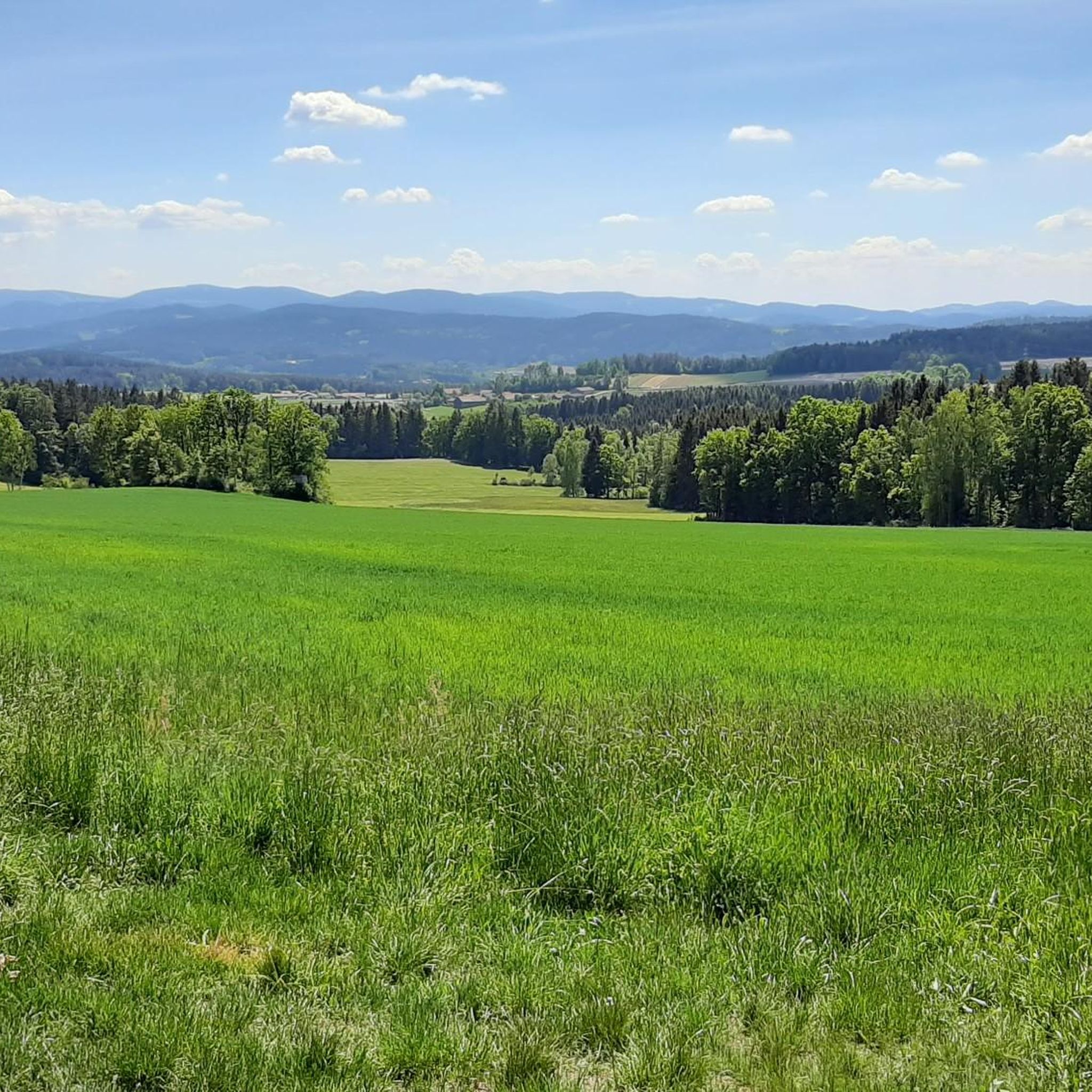
beautiful cycle path along the Regen with wonderful views of the water
0
0

Located on the edge of the park
0
0

Beautiful view with beer garden behind the church
0
0

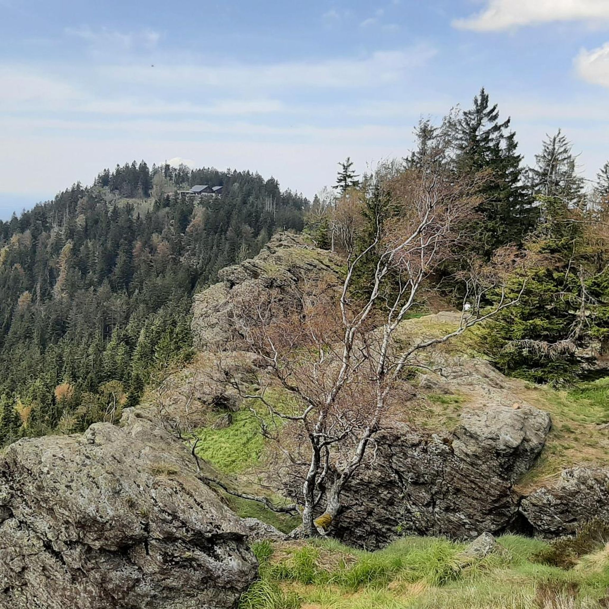
At 1120 meters altitude and really beautiful
5
0


Parish Church of St. Martin The first Romanesque religious building in Miltach was built between 1050 and 1100. Around 1400 the apse was demolished and the current choir was built in the same place. Around the middle of the 18th century the church was given a baroque makeover, mainly by raising the tower. There were two reasons for the renewed expansion and redesign in 1974: the lack of space for churchgoers and the dilapidated structure of the nave. After initial concerns, the State Office for Monument Preservation gave its consent to the demolition of the rear part and the subsequent new construction. The official laying of the foundation stone took place on September 8, 1974 by cathedral canon Martin Lehner. The topping-out ceremony was celebrated on October 25 of the same year. Auxiliary Bishop Karl Flügel consecrated the parish church on August 8, 1976. The high altar from 1760, a Rococo structure with free-standing round and square columns, is extended to the sides with passageways underneath. The figure of St. Andrew on the left and St. James on the right stand as altar guards. The center of the high altar is a painting depicting the patron saint of the parish church, St. Martin. The picture with the well-known motif of the cloak being divided was painted by Ignaz Anton Sollfleisch from Cham. At the top, the high altar ends with a so-called mercy seat, a depiction of the Holy Trinity. To the left of the altar is the figure of St. Florian (1763), to the right is the plague saint Sebastian (1754), and St. Barbara (around 1980), the latter as a replacement for the statue stolen around 1960. The left side altar is a reconstruction of the altar that burned on December 9, 1986. The Gothic Madonna of the Radiance and Child (1480) was also completely destroyed in this disaster. The other two figures, Saint Francis Xavier on the left and Saint Nepomuk on the right, were restored by carving. The altarpiece shows Saint Gertrude von Hefta, painted by Georg Achtelstetter from Cham in 1923. The right side altar (1760) received a picture of Saint Nicholas in 1987, a copy from the church in Haag near Hohenschambach. The golden apples and the book on the altar pillars as well as the miter above the altar testify that it was already dedicated to Saint Nicholas before 1923. Source: Excerpts from www.pfarrei-miltach.de
2
0

Nice and quiet . .
0
0
Frequently Asked Questions
How many road cycling routes are available around Bad Kötzting?
There are over 30 road cycling routes in the Bad Kötzting area, catering to various skill levels. This includes 3 easy routes, 14 moderate routes, and 14 difficult routes, offering a wide range of options for cyclists.
What kind of terrain will I encounter when road cycling in Bad Kötzting?
The region offers a diverse landscape for road cyclists. You can expect flat sections along river valleys, particularly the Regen River, as well as challenging ascents through mountain forests and rolling hills characteristic of the Upper Bavarian Forest Nature Park and the Bohemian Forest Mountains. This mix provides both leisurely rides and more demanding climbs.
Are there any easy road cycling routes suitable for beginners?
Yes, Bad Kötzting offers 3 easy road cycling routes, perfect for beginners or those looking for a relaxed ride. These routes often follow river valleys, providing mostly flat and scenic paths.
What are some challenging road cycling routes for experienced riders?
For experienced riders seeking a challenge, there are 14 difficult routes available. A notable option is the Eck Pass (843 m) Ascent – Ascent to the Scheiben loop from Zellertal, which is 52.7 miles (84.8 km) long and features significant elevation gain towards the Eck Pass.
What natural features and landmarks can I see along the road cycling routes?
Road cycling routes in Bad Kötzting offer views of various natural features and landmarks. You might pass by impressive rock formations like the Rauchröhren rock formation and the Cross rocks. Artificial reservoirs such as Lake Blaibach and Lake Höllenstein also provide picturesque scenery. The Great Riedelstein, the highest point of the Kaitersberg, offers panoramic vistas.
Are there any routes that pass by the Bayerwald Wildlife Park?
Yes, the Bayerwald Wildlife Park Lohberg – Eck Pass (843 m) Ascent loop from Bad Kötzting is a moderate 34.4 miles (55.4 km) route that includes an ascent to the Eck Pass and passes by the Bayerwald Wildlife Park, offering a chance to combine cycling with a visit to the wildlife park.
What is the best time of year for road cycling in Bad Kötzting?
The best seasons for road cycling in Bad Kötzting are typically spring and autumn. During these times, the weather is generally mild and stable, providing ideal conditions for exploring the region's diverse landscapes on your bike.
Are there any circular road cycling routes in the area?
Yes, many routes in Bad Kötzting are designed as loops. For example, the Chapel Rest Area – Biergarten Zum Schleusenwirt loop from Bad Kötzting is a 29.0 miles (46.7 km) trail that takes you through varied terrain and returns to your starting point.
What do other road cyclists enjoy most about cycling in Bad Kötzting?
The road cycling routes around Bad Kötzting are highly rated by the komoot community, with an average score of 4.4 stars from 52 reviews. Cyclists often praise the varied terrain, from scenic river valleys to challenging mountain ascents, and the panoramic views offered by the region's prominent peaks.
Can I find routes that include lakes or reservoirs?
Absolutely. The region features several picturesque artificial reservoirs. The Lake Höllenstein loop from Bad Kötzting is a moderate 35.0 km route that allows you to cycle around this beautiful body of water. Blaibacher See is also highlighted as a beautiful area for cycling.
Are there any routes that offer views from higher elevations?
Many routes in the Bad Kötzting area include climbs to higher elevations, providing spectacular panoramic views. The Cross rocks, at 999 meters, offer expansive views of Bad Kötzting and the front Bavarian Forest, and the Great Riedelstein provides similar vistas.
Most popular routes around Bad Kötzting
Most popular attractions around Bad Kötzting

Get inspired with the komoot mobile app


Explore more
Browse the best Road cycling routes in other regions.
