The best running trails around Saint-Sulpice-Laurière
4.4
(20)
797
runners
83
runs
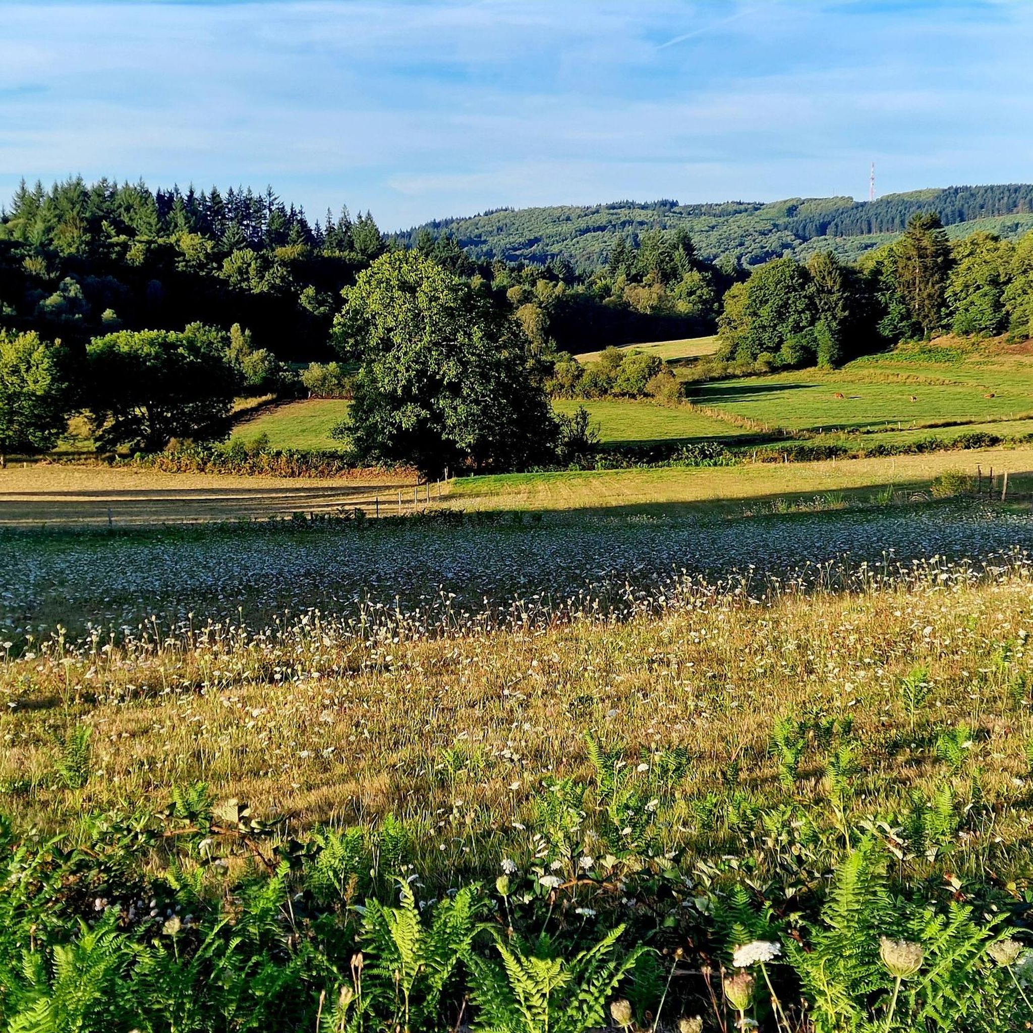
Jogging around Saint-Sulpice-Laurière offers a diverse landscape for runners, situated in the Haute-Vienne department of west-central France. The region is characterized by picturesque countryside, featuring extensive forest tracks and rural paths with varied elevation changes. Joggers can explore routes alongside water features like the Étang de la Papeterie and the Thaurion River, as well as encounter distinctive granite formations. The terrain provides a mix of natural beauty and moderate challenges suitable for outdoor activities.
Best jogging routes around Saint-Sulpice-Laurière
- The…
Last updated: June 27, 2026
9
runners
22.0km
02:54
700m
700m
Hard run. Very good fitness required. Mostly paved surfaces. Suitable for all skill levels.
6
runners
17.1km
02:03
340m
350m
Hard run. Very good fitness required. Mostly paved surfaces. Suitable for all skill levels.

Sign up for free
3
runners
7.61km
00:52
160m
160m
Moderate run. Good fitness required. Mostly paved surfaces. Suitable for all skill levels.
4.0
(1)
3
runners
11.5km
01:26
270m
270m
Moderate run. Good fitness required. Mostly paved surfaces. Suitable for all skill levels.
6
runners
12.2km
01:34
300m
300m
Hard run. Very good fitness required. Mostly paved surfaces. Suitable for all skill levels.
Get access to more routes and recommendations from other explorers.
Sign up for free
Already have an account?
Our route recommendations are based on thousands of hikes, rides, and runs completed by other people on komoot.
Start today with a free account
Your next adventure awaits.
Login or Signup

Tips from the Community


The lantern states that it’s by the cemetery but either it moved or it’s been wrong all along. The cemetery is across the village, heading toward Le Fieu.
0
0

Dated from the 13th century, the lantern of the dead of Saint-Goussaud was moved at the beginning of the 19th century from the cemetery where it was initially located. Thanks to a pulley system, a light was hoisted there to guide the deceased.
1
0
Suitable for cycling (beware rocks and roots), hiking, running.
0
0

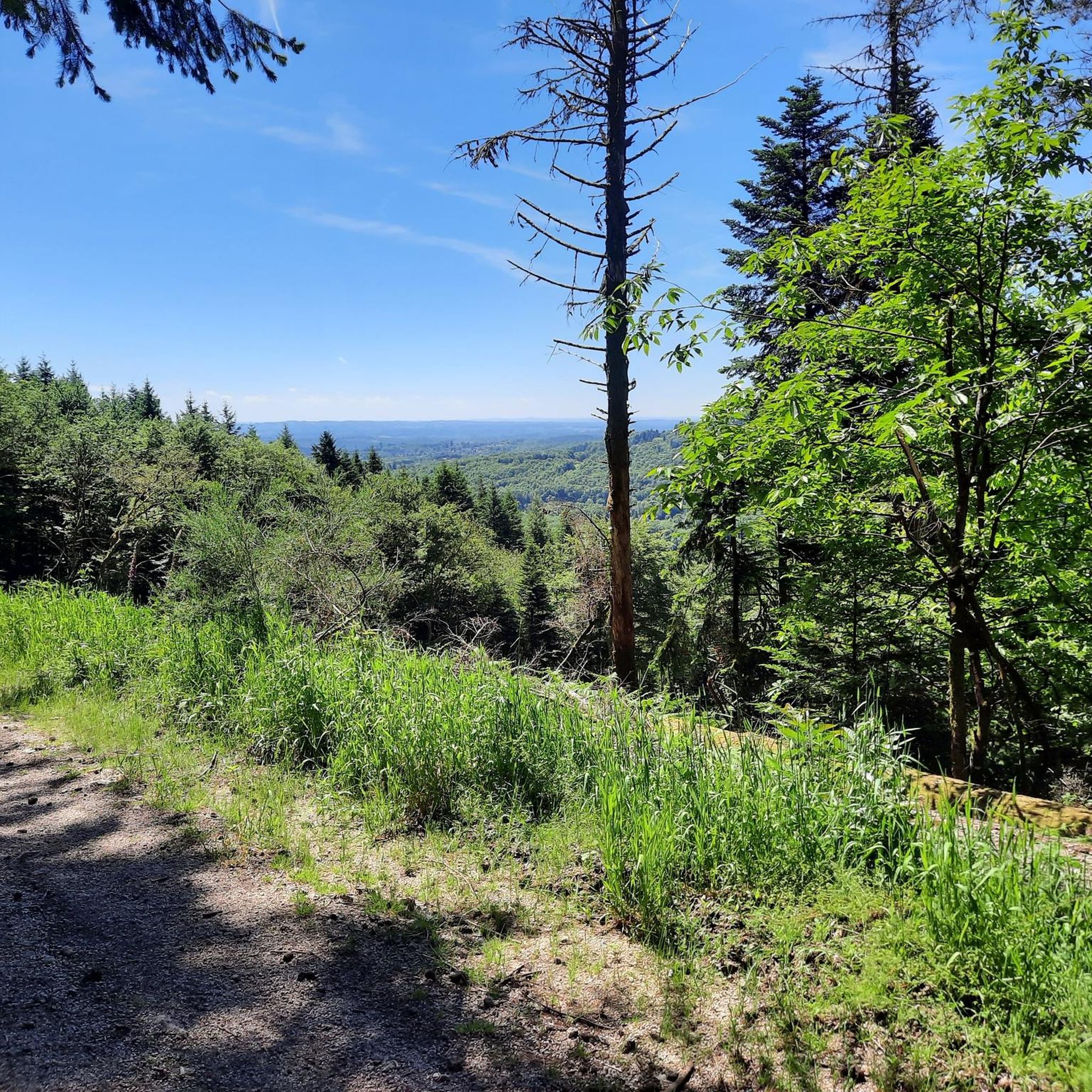
Very beautiful belvedere, overlooking the central massif. A vast view and access to the relaxing forest. ☆☆☆☆☆
0
0

Exceptional panorama, to see in good weather.
1
0

The place is recognized as one of the most beautiful viewpoints in Limousin and allows you to admire / guess some famous Puys d'Auvergne. Indeed, the Ambazac mountains are a natural region located north-west of the Massif Central.
3
0

A wonderful hike through a moor and then to a lookout point with a magnificent view
3
0
Frequently Asked Questions
How many running routes are available in Saint-Sulpice-Laurière?
There are over 80 running routes around Saint-Sulpice-Laurière, offering a wide variety of options for different skill levels and preferences.
What is the general difficulty level of running trails in Saint-Sulpice-Laurière?
The routes in Saint-Sulpice-Laurière offer a mix of challenges. You'll find 3 easy routes, 48 moderate routes, and 29 difficult routes, ensuring options for every runner, from beginners to experienced trail runners.
What kind of terrain can I expect on the jogging routes around Saint-Sulpice-Laurière?
The terrain is diverse, characterized by picturesque countryside, extensive forest tracks, and rural paths. You'll encounter varied elevation changes, distinctive granite formations like the "Pierre du Crapaud", and scenic sections alongside water features such as the Étang de la Papeterie and the Thaurion River.
Are there any scenic viewpoints or natural features to see while running?
Yes, many routes offer beautiful natural features. You can explore areas near the Arboretum of La Jonchère-Saint-Maurice, discover unique granite formations like The Temple and The Three Stones, or pass by the Beech Tree Over the Spring. The region also features the scenic Cascade de la Ribière (Ribière Waterfall).
Are there any circular running routes in the area?
Many of the running routes in Saint-Sulpice-Laurière are designed as loops, allowing you to start and finish at the same point. For example, the Lavoir du Queyroix – Rocking Stone loop from La Jonchère is a popular circular option.
Can I find routes with significant elevation gain for a challenging run?
Absolutely. Saint-Sulpice-Laurière offers several challenging routes with substantial elevation gain. The Balanced Rock viewpoint loop from La Jonchère, for instance, features over 1000 meters of ascent, providing a demanding workout with expansive views.
What do other runners say about the trails in Saint-Sulpice-Laurière?
The running routes in Saint-Sulpice-Laurière are highly rated by the komoot community, with an average score of 4.5 stars from 16 reviews. Over 700 runners have explored the varied terrain, often praising the quiet woodlands and diverse landscapes.
Are there any historical sites or landmarks along the running trails?
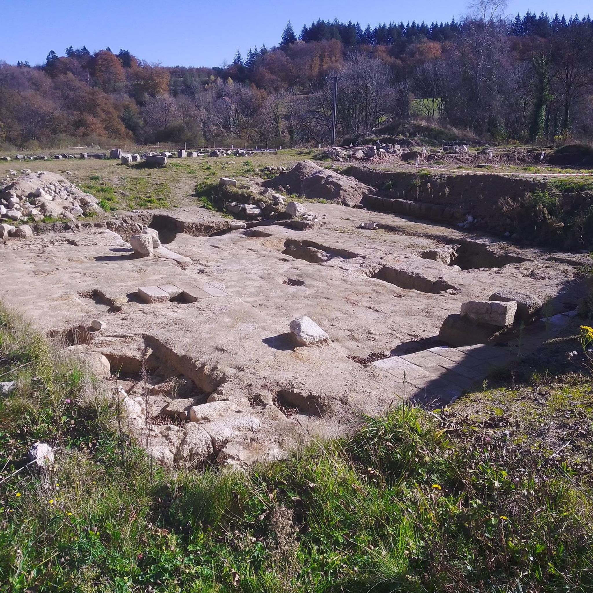
Yes, the routes often weave through areas rich in history. You might encounter an old mill at "la Californie," the restored "Font-du-Loup" (an ancient fountain-washhouse), or traces of Gallo-Roman and medieval occupation. The Chapel of Saint-Jean Baptiste de Grandmont is also a notable historical point of interest.
Are there any easy jogging routes suitable for beginners?
Yes, there are 3 easy routes available. While specific easy routes aren't highlighted in the top favorites, komoot's route planner can help you find the most suitable options for a gentle run.
Are the running routes in Saint-Sulpice-Laurière suitable for families?
The region offers varied terrain, and while many routes are moderate to difficult, the 3 easy routes could be suitable for families looking for a less strenuous outing. It's always best to check individual route details for specific suitability.
What is the best time of year to go jogging in Saint-Sulpice-Laurière?
The region's picturesque countryside is enjoyable throughout the warmer months, from spring to autumn, when the forest tracks and rural paths are most accessible and the natural beauty is in full bloom. Always check local weather conditions before heading out.
Can I find routes that pass by water features?
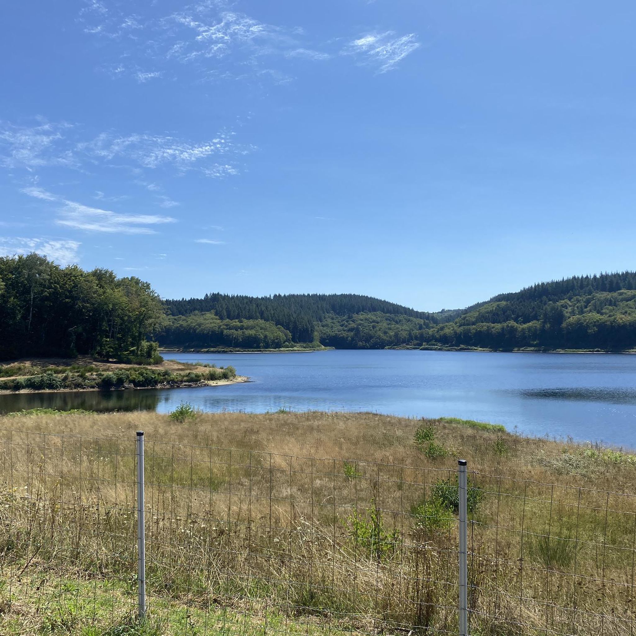
Yes, several routes incorporate water features. You can jog alongside the Étang de la Papeterie or near the Thaurion River, and some paths offer views of the Châtelus Bridge, which spans the river.
Most popular routes around Saint-Sulpice-Laurière
Most popular attractions around Saint-Sulpice-Laurière

Get inspired with the komoot mobile app


Explore more
Browse the best Running Trails & Routes in other regions.
