The best walks and hikes around Saint-Omer-En-Chaussée
4.4
(138)
809
hikers
54
hikes
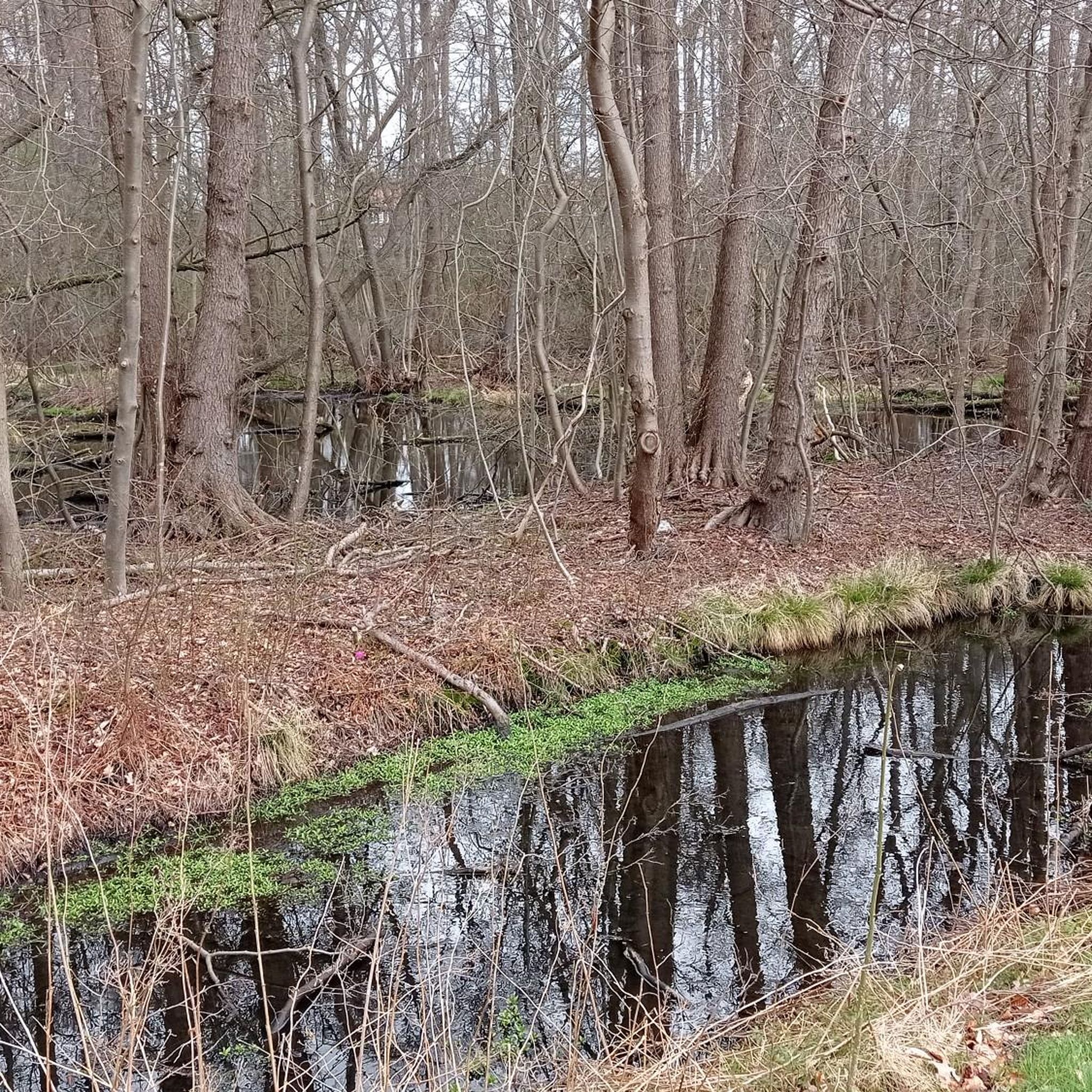
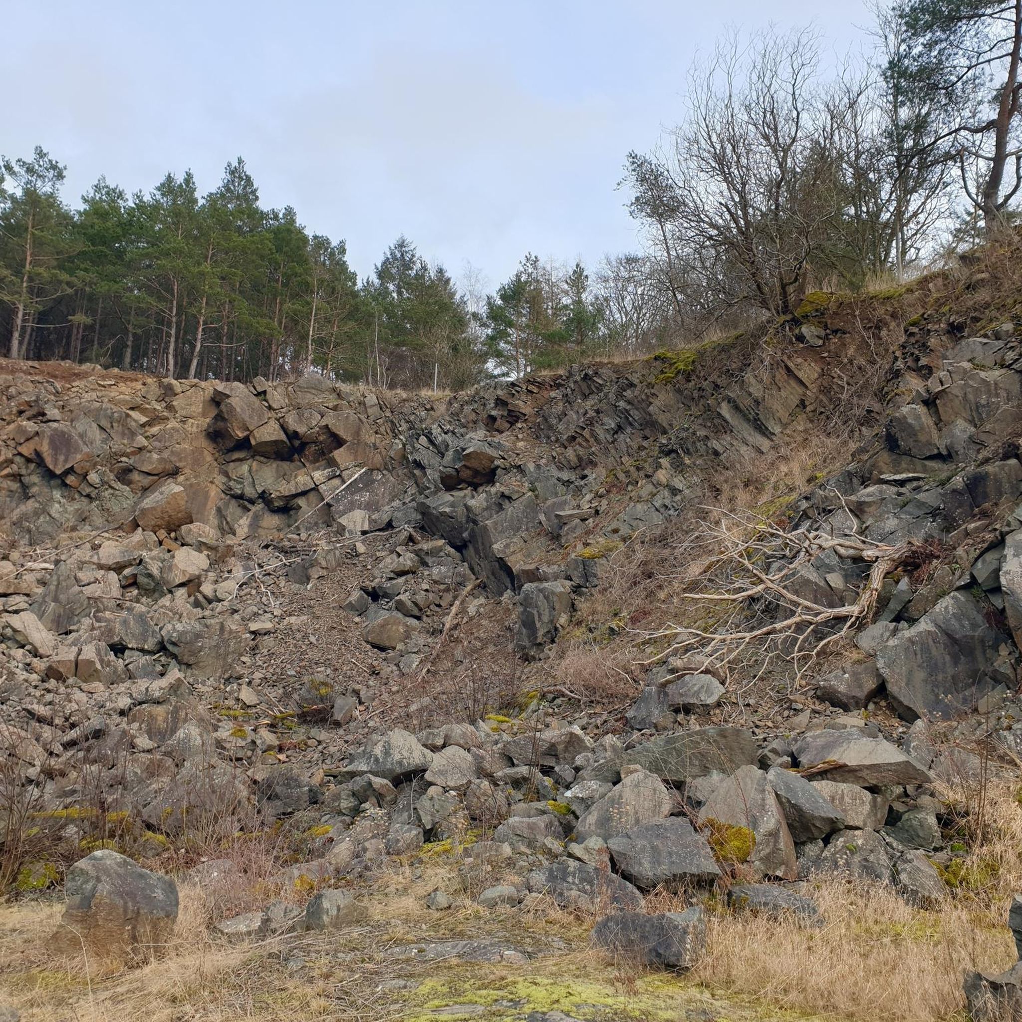
Hiking around Saint-Omer-En-Chaussée offers trails through a landscape characterized by gentle rolling hills, agricultural fields, and serene water bodies. The region features a mix of open countryside and wooded areas, providing varied scenery for outdoor activities. Elevation changes are generally modest, making many routes accessible.
Best hiking trails around Saint-Omer-En-Chaussée
- The most popular hiking route is Les étangs de Milly et plan d'eau du Canada — boucle depuis Milly-sur-Thérain, a 12.6 miles (20.3 km) trail that takes 5 hours…
Last updated: July 5, 2026
5.0
(3)
16
hikers
Hard hike. Very good fitness required. Easily-accessible paths. Suitable for all skill levels.
5.0
(4)
11
hikers
8.95km
02:18
40m
40m
Moderate hike. Good fitness required. Easily-accessible paths. Suitable for all skill levels.

Sign up for free
5.0
(4)
11
hikers
7.59km
01:56
20m
20m
Easy hike. Great for any fitness level. Easily-accessible paths. Suitable for all skill levels.
4.5
(4)
7
hikers
9.40km
02:27
60m
60m
Moderate hike. Good fitness required. Easily-accessible paths. Suitable for all skill levels.
5.0
(2)
5
hikers
5.19km
01:19
10m
10m
Easy hike. Great for any fitness level. Easily-accessible paths. Suitable for all skill levels.
Get access to more routes and recommendations from other explorers.
Sign up for free
Already have an account?
Our route recommendations are based on thousands of hikes, rides, and runs completed by other people on komoot.
Start today with a free account
Your next adventure awaits.
Login or Signup



Tips from the Community

Built in the 15th and 16th centuries, Troissereux Castle captivates with its unique architecture. It houses the "Tour du Temps," topped with an ancient medieval clock, a listed historical monument. It is surrounded by a landscaped park of more than ten hectares, also listed.
0
0

Leaving Beauvais to the northwest, along the road and then the cycle path of the Saint-Quentin marsh, you quickly arrive at the superb lake of Canada. It offers three kilometers of banks and is ideal for swimming in summer.
0
0

Canada's body of water is an artificial lake surrounded by nature. You can walk along the 3 kilometer trail that runs along the shore and enjoy views of the water and wildlife.
5
0
The Château de Troissereux is a Renaissance style castle built in the 16th century. You can also enjoy the 12-hectare park, attributed to Bernard Palissy, which includes a natural bird reserve, an arboretum and a canal.
3
0
The Ponds of Milly-sur-Thérain, a series of ponds in the Thérain valley. You can admire the view of the water, the willows and the fishing huts, as well as the fauna and flora that flourish in this natural site. The ponds are also a popular fishing spot, so you can try your luck with a fishing rod or simply watch the fishermen in action. The Ponds of Milly-sur-Thérain are a hidden gem of the Oise, where you can relax and reconnect with nature.
3
0

C good and there are passages under trees c good since there is a heat wave
0
0
Frequently Asked Questions
How many hiking trails are there in Saint-Omer-En-Chaussée?
There are over 60 hiking routes around Saint-Omer-En-Chaussée. These trails offer a variety of experiences, from easy strolls to more challenging long-distance routes, exploring the region's gentle rolling hills, agricultural fields, and serene water bodies.
Are there easy hiking trails suitable for beginners or families?
Yes, Saint-Omer-En-Chaussée offers a good selection of easy trails. Approximately half of the routes in the area are rated as easy, making them suitable for beginners or families looking for a relaxed walk. An example is the Milly Ponds loop from Herchies, which is 4.7 miles (7.6 km) long and takes about 1 hour 55 minutes.
Are dogs allowed on the hiking trails in Saint-Omer-En-Chaussée?
Generally, dogs are welcome on most hiking trails in the Saint-Omer-En-Chaussée region. However, it's always advisable to keep them on a leash, especially when passing through agricultural fields or near wildlife habitats, and to check for any specific local regulations or signage on individual routes.
Are there circular hiking routes in the area?
Many of the hiking routes around Saint-Omer-En-Chaussée are designed as circular paths, allowing you to start and end at the same point without retracing your steps. For instance, the Château de Troissereux loop from Herchies is a moderate 5.6 miles (9.0 km) circular trail offering views of the historic château.
What kind of wildlife can I expect to see while hiking?
The region's mix of open countryside, woodlands, and ponds provides habitats for various wildlife. Hikers might spot common birds, small mammals, and aquatic life around the water bodies. The tranquil nature of the trails offers good opportunities for wildlife observation, particularly in quieter areas.
What can I see along the hiking trails in Saint-Omer-En-Chaussée?
The trails often lead through scenic landscapes featuring agricultural fields, small woodlands, and tranquil ponds. Notable points of interest include the historic Castle gate and the picturesque village of Gerberoy. The Plan d'Eau du Canada is also a significant natural highlight.
When is the best time of year to go hiking in Saint-Omer-En-Chaussée?
Spring and autumn are generally ideal for hiking in Saint-Omer-En-Chaussée, offering pleasant temperatures and beautiful scenery. Spring brings blooming wildflowers, while autumn showcases vibrant foliage. Summer is also suitable, though it can be warmer, and winter offers a different, often quieter, experience, especially on clear days.
Is parking available at the trailheads?
While specific parking information for every trailhead is not always detailed, many routes in the Saint-Omer-En-Chaussée area, particularly those starting from villages or popular recreational spots, typically have designated parking areas nearby. It's advisable to check the route details on komoot for specific starting points.
Can I reach hiking trails in Saint-Omer-En-Chaussée by public transport?
Public transport options to reach specific trailheads in Saint-Omer-En-Chaussée may be limited, as many routes start from smaller villages or rural areas. It is often more convenient to access these trails by car. However, some routes might be accessible from larger towns with bus or train connections; checking local transport schedules is recommended.
What do other hikers enjoy about the trails in Saint-Omer-En-Chaussée?
The trails in Saint-Omer-En-Chaussée are highly rated by the komoot community, with an average score of 4.5 stars. Hikers often praise the tranquil ponds, open fields, and small woodlands that define the region's landscape, as well as the variety of options available for different ability levels.
Are there any longer or more challenging hikes available?
Yes, for those seeking a longer and more challenging experience, Saint-Omer-En-Chaussée does offer routes like Les étangs de Milly et plan d'eau du Canada — boucle depuis Milly-sur-Thérain. This difficult 12.6 miles (20.3 km) trail explores the Milly ponds and Canada lake, typically taking over 5 hours to complete.
Most popular routes around Saint-Omer-En-Chaussée
Most popular attractions around Saint-Omer-En-Chaussée

Get inspired with the komoot mobile app


Explore more
Browse the best Hikes in other regions.
