The best walks and hikes around Francières
4.2
(40)
180
hikers
46
hikes
Hiking around Francières offers a network of trails through gently rolling terrain and rural landscapes. The region is characterized by open fields, small woodlands, and quiet paths connecting local villages. Elevations are generally low, providing accessible hiking for various fitness levels. Its location provides access to the expansive Forest of Compiègne and the picturesque Oise River, enhancing outdoor opportunities.
Best hiking trails around Francières
- The most popular hiking route is Les Trois-Étots Chapel loop from Cressonsacq, a 5.6 miles…
Last updated: July 9, 2026
5.0
(1)
17
hikers
10.3km
02:40
50m
50m
Moderate hike. Good fitness required. Easily-accessible paths. Suitable for all skill levels.
3.0
(1)
3
hikers
8.95km
02:19
50m
50m
Moderate hike. Good fitness required. Easily-accessible paths. Suitable for all skill levels.

Sign up for free
3
hikers
6.41km
01:40
40m
40m
Easy hike. Great for any fitness level. Easily-accessible paths. Suitable for all skill levels.
4.0
(2)
3
hikers
8.62km
02:18
100m
100m
Moderate hike. Good fitness required. Easily-accessible paths. Suitable for all skill levels.
3.0
(1)
2
hikers
6.40km
01:39
30m
30m
Easy hike. Great for any fitness level. Easily-accessible paths. Suitable for all skill levels.
Get access to more routes and recommendations from other explorers.
Sign up for free
Already have an account?
Our route recommendations are based on thousands of hikes, rides, and runs completed by other people on komoot.
Start today with a free account
Your next adventure awaits.
Login or Signup
Popular around Francières
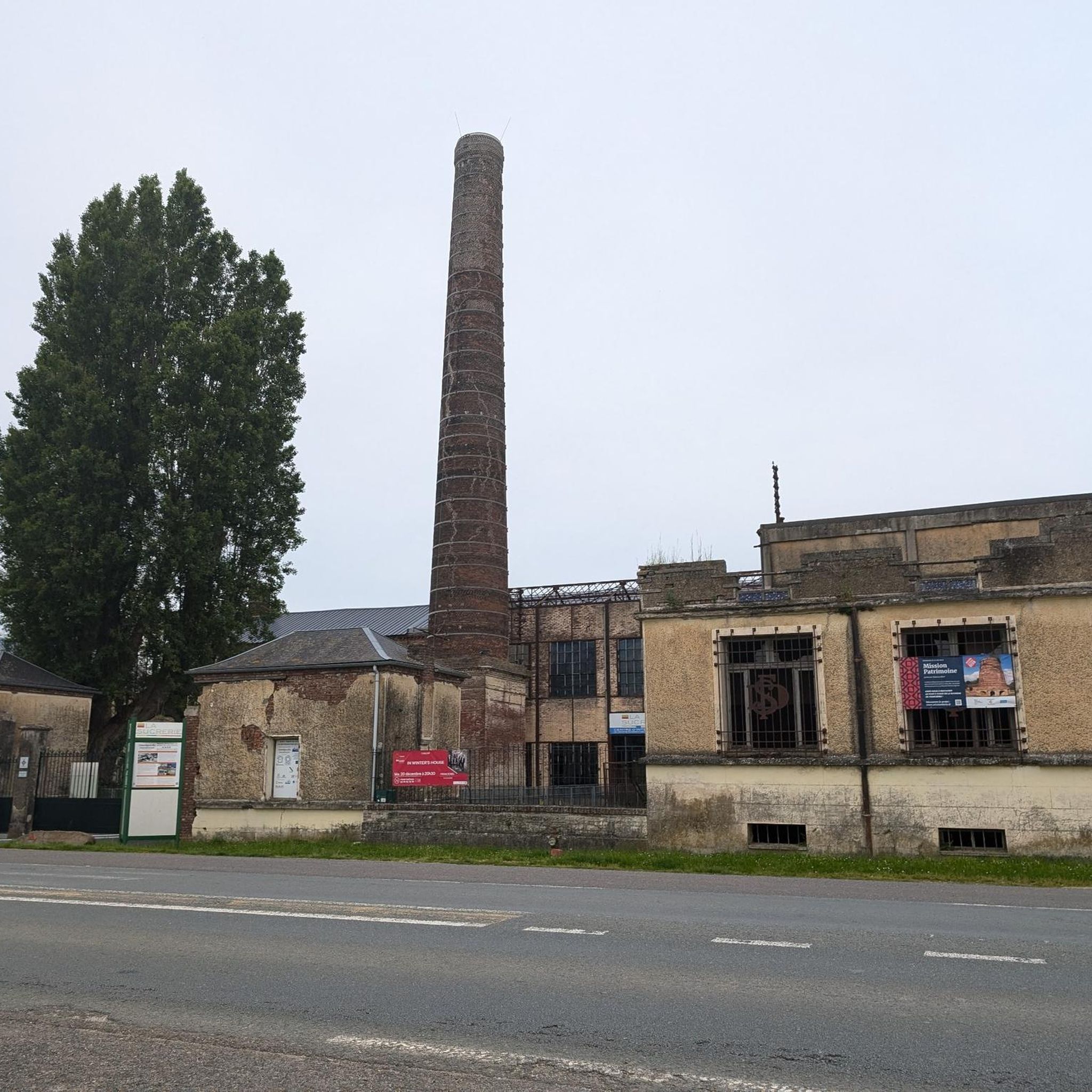

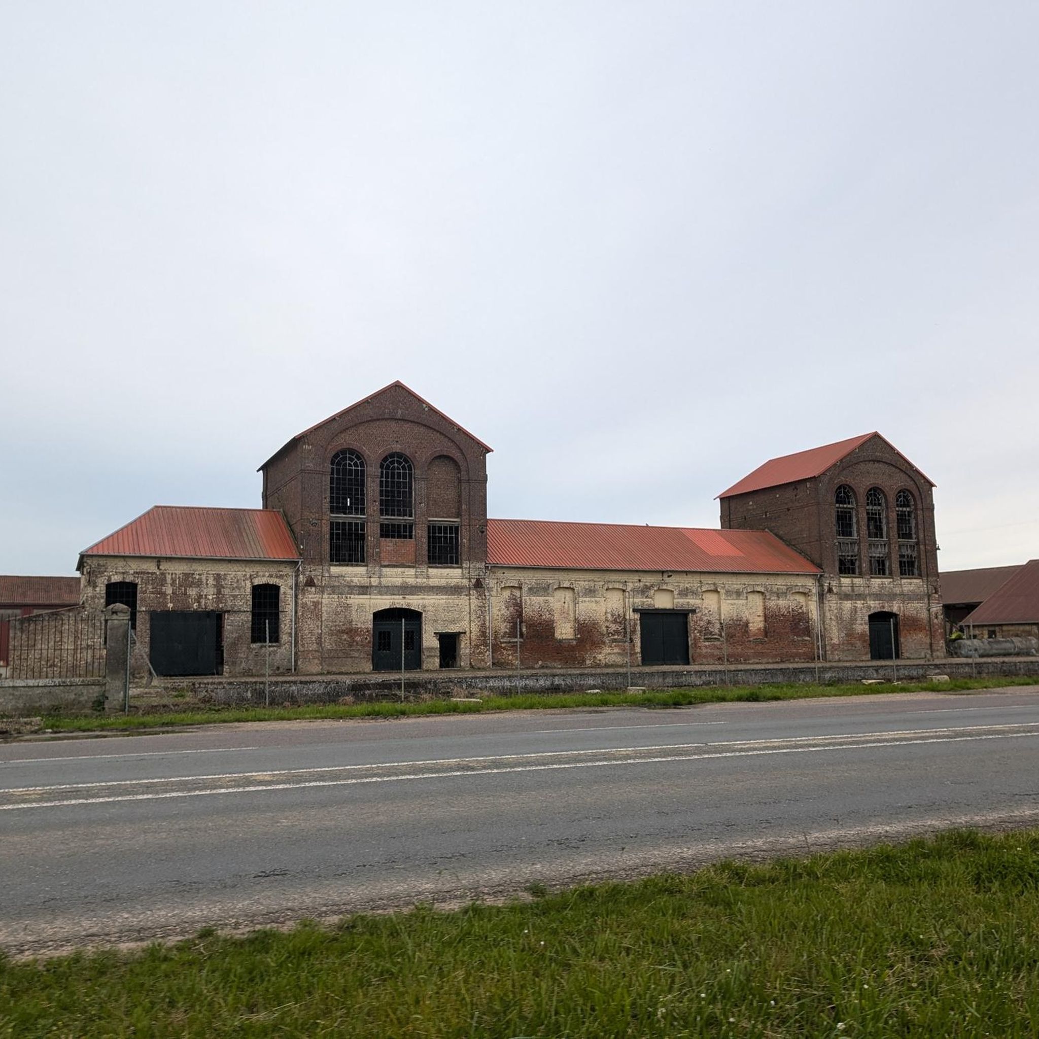
Tips from the Community

We love to walk on the Coulée Verte from Canly to Estrée Saint Denis on bikes it and very well maintained and very clean I recommend it
3
1

Change of scenery, contact with nature, hares and birds.
0
0
Frequently Asked Questions
How many hiking trails are available around Francières?
There are over 40 hiking routes available around Francières, offering a variety of experiences through the region's gently rolling terrain and rural landscapes.
Are there easy hiking options suitable for beginners or families in Francières?
Yes, Francières offers 19 easy hiking routes. A good option for a shorter, family-friendly walk is the Boucquy Chapel loop from Jonquières, which is 3.5 km long and takes about an hour to complete through open countryside.
What kind of terrain can I expect on hikes around Francières?
The terrain around Francières is characterized by gently rolling hills, open fields, and small woodlands. Elevations are generally low, making most paths accessible and suitable for various fitness levels.
Are there any circular walks available in Francières?
Many of the trails in Francières are circular. For example, the Mont Clergé loop from Jonquières is an easy 6.8 km circular route, and the Hiking loop from Estrées-Saint-Denis offers a moderate 11.75 km option.
What are some interesting landmarks or attractions I can see while hiking in Francières?
Several routes pass by notable points of interest. The historic Les Trois-Étots Chapel is a prominent landmark featured on multiple loops, such as the Les Trois-Étots Chapel loop from Cressonsacq. You can also explore areas like On the banks of the Oise or visit the impressive Compiègne Palace - Les Beaux Monts nearby.
What do other hikers say about the trails in Francières?
The hiking trails in Francières are highly rated by the komoot community, with an average score of 4.5 stars from over 30 reviews. Hikers often praise the quiet paths, rural scenery, and the accessibility of the routes.
Are there any challenging hikes in the Francières area?
While Francières is known for its generally accessible terrain, there are 22 moderate routes available. These offer longer distances or slightly more varied elevation changes compared to the easy trails, providing a good challenge without being overly strenuous. There are no routes classified as difficult.
When is the best time of year to go hiking in Francières?
Francières offers pleasant hiking conditions throughout much of the year. Spring and autumn provide comfortable temperatures and beautiful scenery with blooming fields or changing foliage. Summer is also suitable, though it's advisable to start earlier in the day to avoid the midday heat. Winter hikes are possible, but paths may be muddy or frosty.
Are the hiking trails in Francières suitable for dog walkers?
The rural landscapes and quiet paths around Francières are generally very suitable for dog walking. Many trails pass through open fields and woodlands, offering plenty of space for dogs to enjoy. Always ensure your dog is under control and respect local signage regarding livestock or protected areas.
What should I wear for hiking in Francières, especially in autumn?
In autumn, layers are key for hiking in Francières. Opt for moisture-wicking base layers, a warm mid-layer, and a waterproof/windproof outer shell. Comfortable hiking boots are recommended, as paths can be damp or muddy after rain. A hat and gloves are also advisable for cooler mornings or evenings.
Are there any routes that follow rivers or offer waterside views?
While not directly on the main hiking routes, the nearby banks of the Oise river offer scenic waterside views and paths. There's also a dedicated cycle path along the Oise river which can be explored on foot in sections.
Can I reach hiking trails in Francières using public transport?
Information on specific public transport connections directly to every trailhead in Francières is limited. It's generally recommended to check local bus schedules for connections to the villages where trails begin, such as Jonquières, Cressonsacq, or Pronleroy, as these are starting points for many popular loops.
Is parking available at the trailheads in Francières?
Parking is typically available in the villages that serve as starting points for the hiking trails, such as Cressonsacq, Pronleroy, and Jonquières. Look for designated parking areas or street parking within these communities, ensuring you park respectfully and do not obstruct local residents or traffic.
Most popular attractions around Francières

Get inspired with the komoot mobile app


Explore more
Browse the best Hikes in other regions.
