The best walks and hikes around Bad Gottleuba-Berggießhübel
4.6
(6458)
21,327
hikers
388
hikes
Hiking around Bad Gottleuba-Berggießhübel offers diverse landscapes situated between the Ore Mountains and Saxon Switzerland. The region is characterized by the Gottleuba Valley, featuring the Gottleuba River and its natural whirlpools, alongside distinctive rock formations. Hikers can explore extensive forests, including the Cottaer Busch, and follow paths along old railway embankments. This geographical position provides a varied terrain of valleys, rock formations, and woodlands for outdoor activities.
Best hiking trails around Bad Gottleuba-Berggießhübel
- The most popular hiking route is Old…
Last updated: July 12, 2026
4.5
(217)
681
hikers
Easy hike. Great for any fitness level. Easily-accessible paths. Suitable for all skill levels.
4.6
(180)
584
hikers
Moderate hike. Good fitness required. Easily-accessible paths. Suitable for all skill levels.

Sign up for free
4.7
(143)
456
hikers
Easy hike. Great for any fitness level. Easily-accessible paths. Suitable for all skill levels.
4.7
(60)
205
hikers
15.5km
04:22
270m
270m
Moderate hike. Good fitness required. Mostly accessible paths. Sure-footedness required.
4.8
(52)
178
hikers
Easy hike. Great for any fitness level. Easily-accessible paths. Suitable for all skill levels.
Get access to more routes and recommendations from other explorers.
Sign up for free
Already have an account?
Our route recommendations are based on thousands of hikes, rides, and runs completed by other people on komoot.
Start today with a free account
Your next adventure awaits.
Login or Signup
Popular around Bad Gottleuba-Berggießhübel
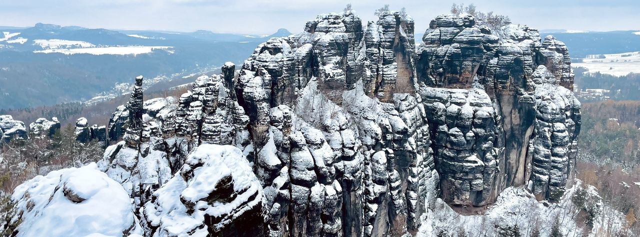
Winterwanderungen in der Sächsischen Schweiz
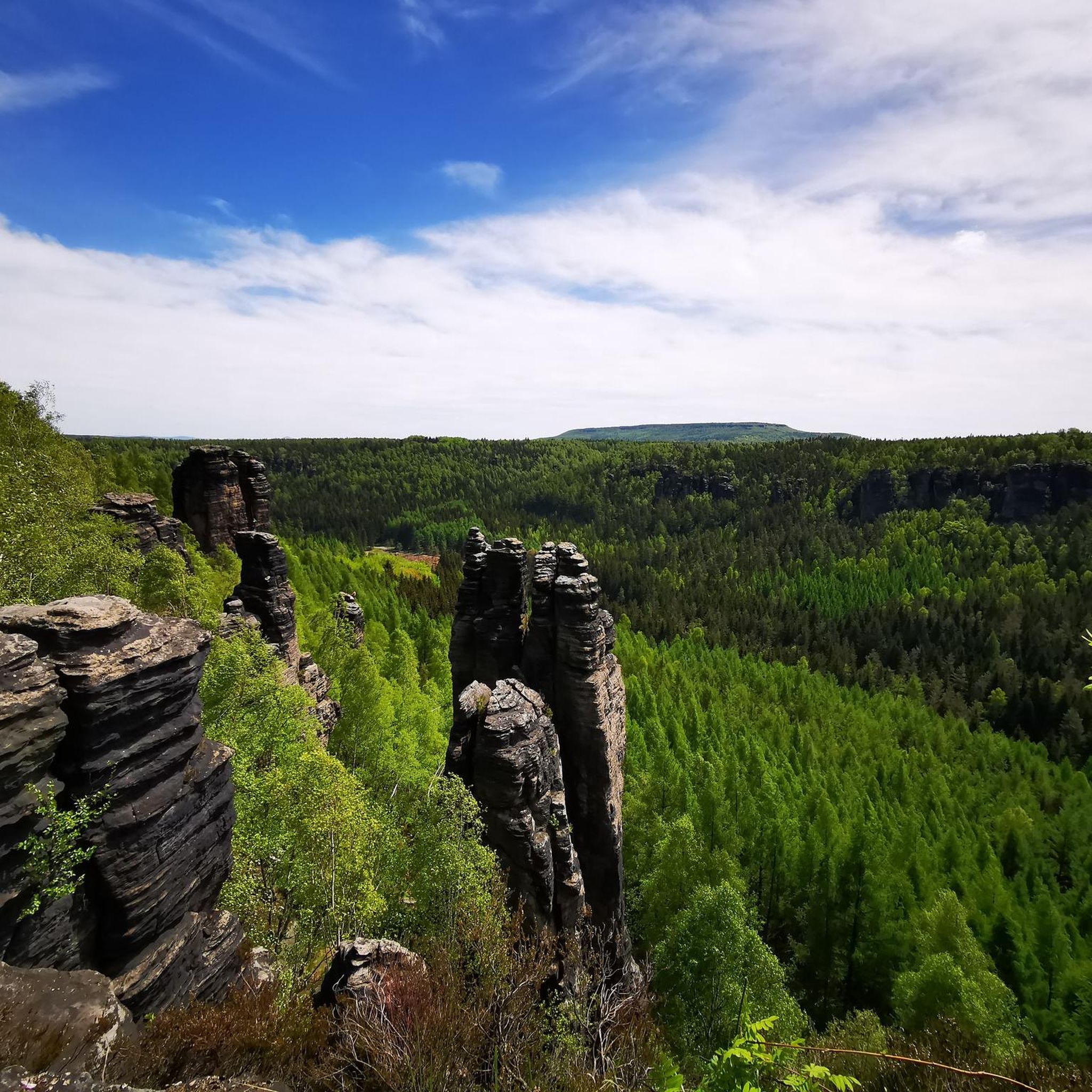
Cycling around Bad Gottleuba-Berggießhübel
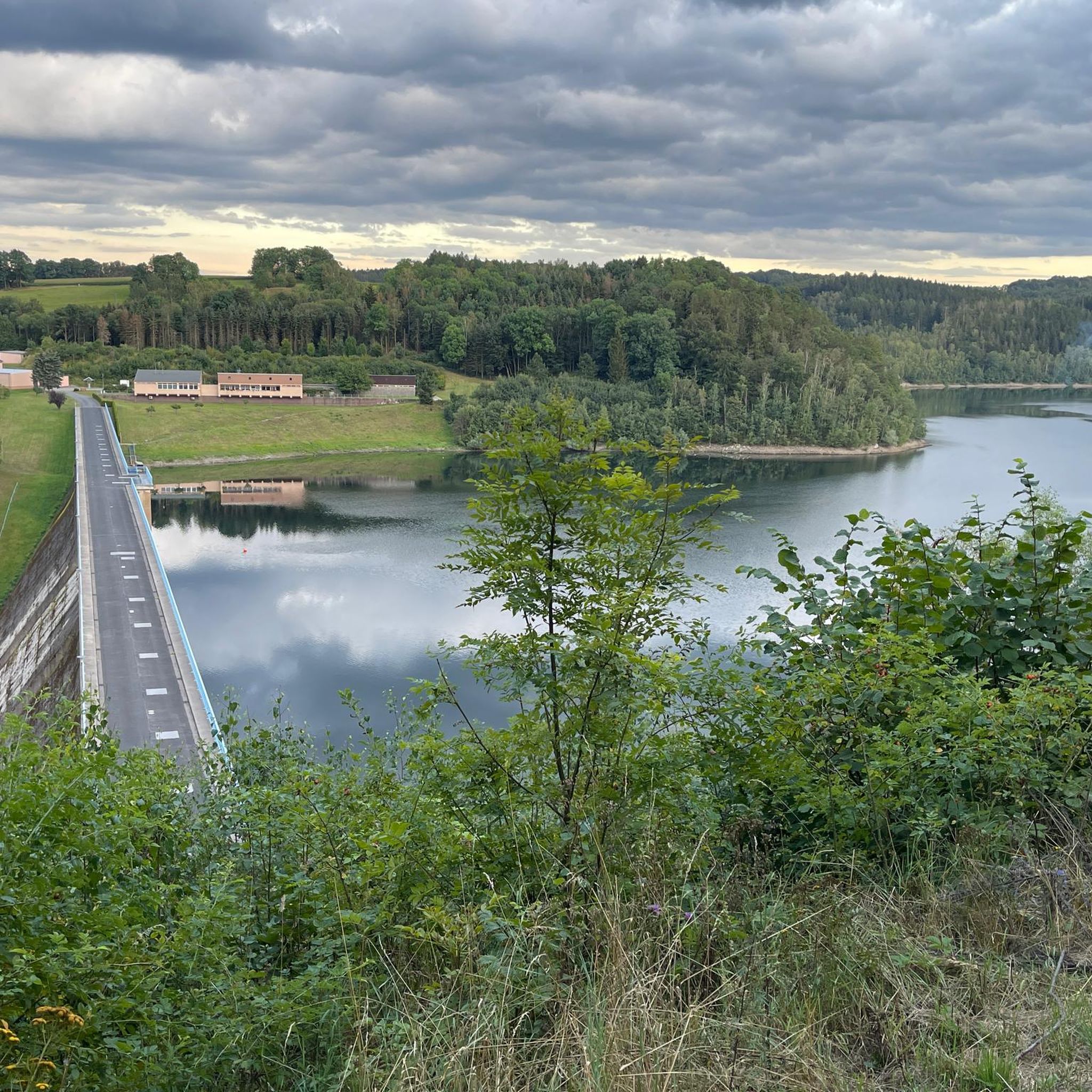
Road Cycling Routes around Bad Gottleuba-Berggießhübel

Gravel biking around Bad Gottleuba-Berggießhübel
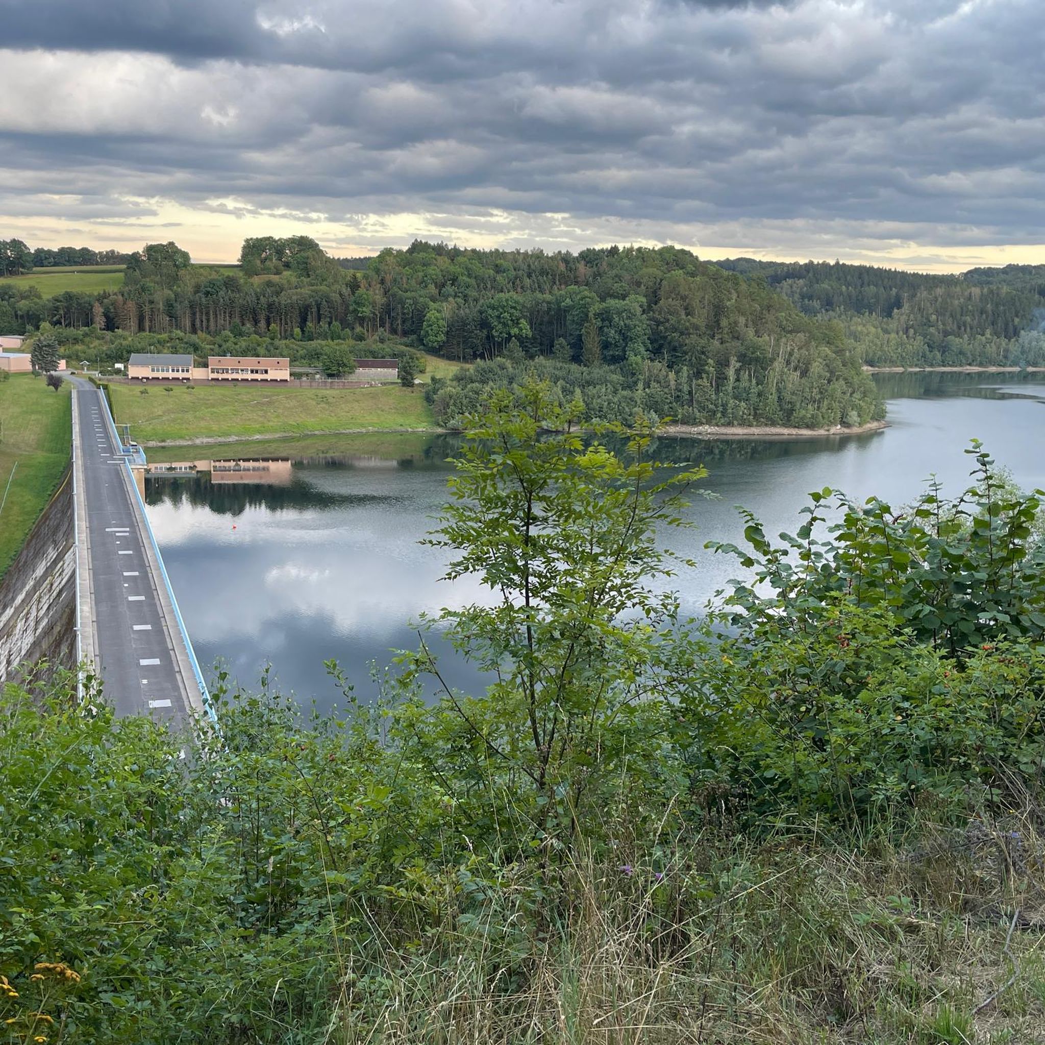
MTB Trails around Bad Gottleuba-Berggießhübel
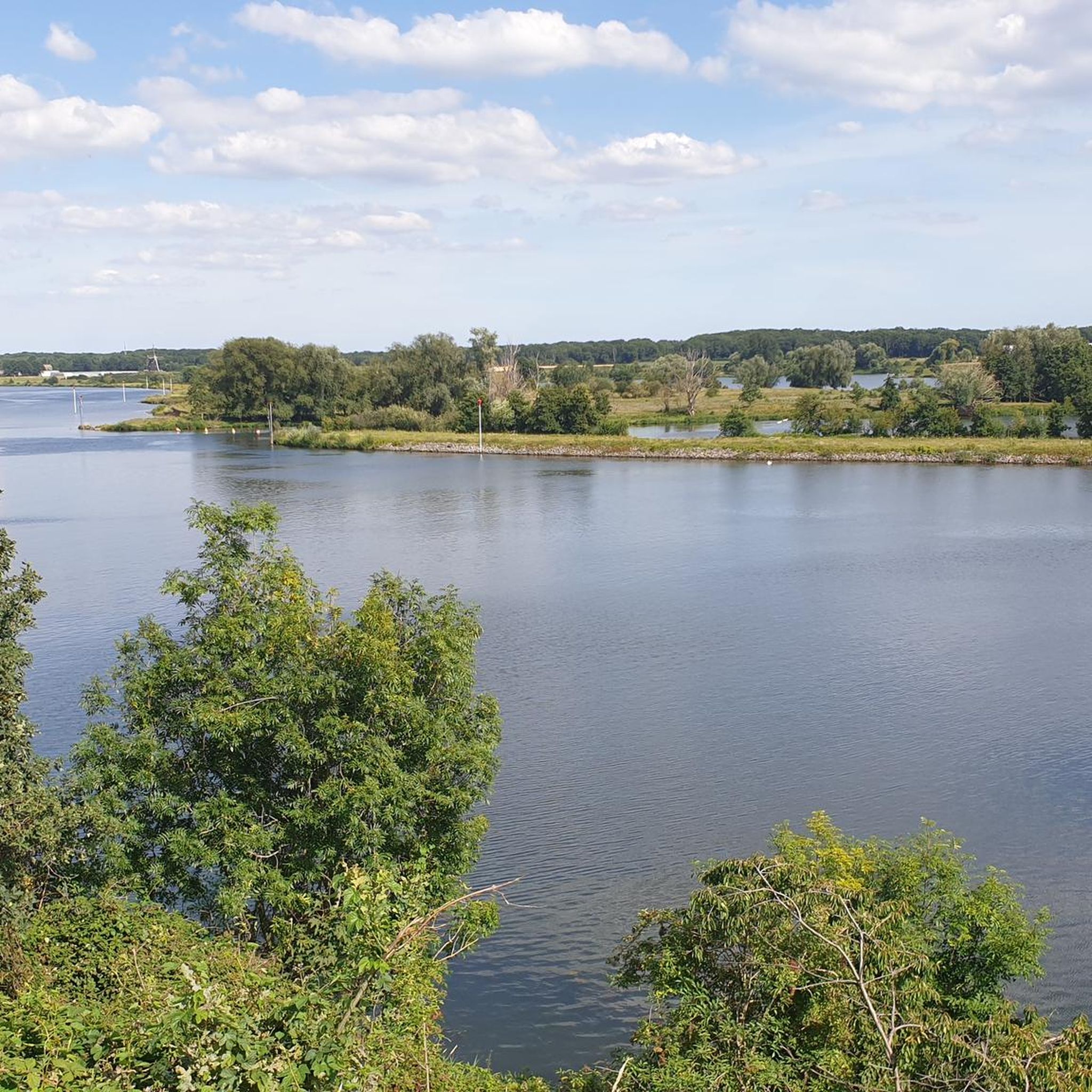
Running Trails around Bad Gottleuba-Berggießhübel
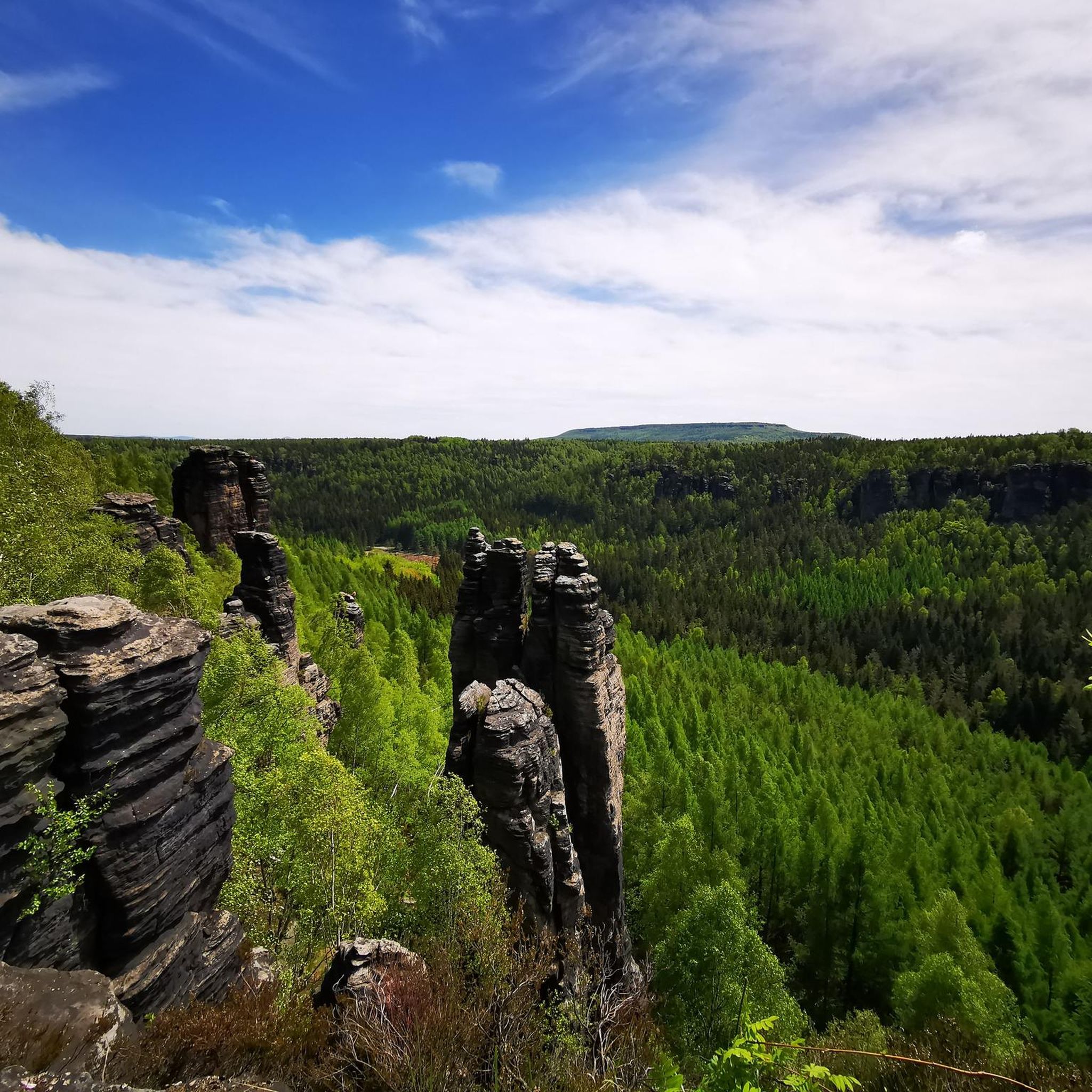
Mountain Hikes around Bad Gottleuba-Berggießhübel
Other adventures around Bad Gottleuba-Berggießhübel

Tips from the Community

Wonderfully funny idea.. you have to come up with that first… but hey.. here you really have to duck your head
8
0
Nothing from the checkout... Nonsense.. here the fun is really still for free
8
0
The absolute hotspot for young and old here in the area.. but hey.. even if it's a nice spot for kids... flip-flops are and remain a no-go
8
0
You can safely throw your normal hiking pace out the window here.. you need time here
2
0

This is one of the over 1000 climbing rocks in Saxon Switzerland.
2
0

An old relic. Always fascinating.
0
0
Benches nearby to take your time...
0
0

"The Pirna–Gottleuba railway line (also known as the Gottleuba Valley Railway) was a branch line in Saxony. It ran through the Gottleuba Valley from Pirna via Berggießhübel to Bad Gottleuba and was closed in 1976 outside of Pirna." - https://de.wikipedia.org/wiki/Bahnstrecke_Pirna%E2%80%93Gottleuba A beautiful off-road route along the romantic Gottleuba River through the sandstone. Along the way, you cross a very cool, old railway bridge.
1
0
Frequently Asked Questions
How many hiking trails are available in Bad Gottleuba-Berggießhübel?
Bad Gottleuba-Berggießhübel offers an extensive network of over 390 hiking trails. These routes cater to various fitness levels, from easy strolls to more challenging tours, ensuring there's something for everyone.
What types of terrain and landscapes can I expect on the hikes?
The region's unique location between the Ore Mountains and Saxon Switzerland provides a diverse landscape. You can expect to hike through scenic river valleys, such as the Gottleuba Valley, explore dense forests like the Cottaer Busch, and encounter distinctive rock formations. Some paths also follow old railway embankments, offering varied scenery.
Are there any family-friendly hiking trails in Bad Gottleuba-Berggießhübel?
Yes, there are many family-friendly options. The region offers numerous easy trails suitable for families. For instance, sections of the Forellensteig (Trout Trail) along the Gottleuba River are enjoyable for children, featuring natural whirlpools and points of interest like the Napoleonstein. The area also has a forest adventure center and rock labyrinths that can be exciting for younger hikers.
What natural landmarks or viewpoints can I discover on hikes?
Hikers can explore impressive natural features such as the “Steinerner Pilz” (Stone Mushroom) and the “Westlicher Berggießhübler Turm” (Western Berggießhübel Tower). The region is also close to the rock world of Tyssaer Wände. For expansive views, consider routes that take you over five 'stones' – Eulensteine, Eibischsteine, Buttermilchsteine, Bernhardstein, and Königstein. You can also visit the Bastei Viewpoint or the Kanapee View over the Elbe.
Are there any circular hiking routes available?
Yes, many routes in Bad Gottleuba-Berggießhübel are designed as loops. An example is the Old Railway Embankment Berggießhübel – Footbridge over Gottleuba loop from Bad Gottleuba-Berggießhübel, which is an easy 7.3 km trail. Another option is the Layered Rock – Labyrinth Guardian Climbing Rock loop from Langenhennersdorf, a shorter 3.3 km path through unique rock formations.
When is the best time of year to go hiking in Bad Gottleuba-Berggießhübel?
Thanks to its favorable climate at 300 to 400 meters above sea level, Bad Gottleuba-Berggießhübel offers ideal conditions for outdoor activities year-round. While spring and autumn provide beautiful foliage and comfortable temperatures, summer is great for longer days, and winter offers opportunities for snowy landscapes.
What do other hikers enjoy most about hiking in Bad Gottleuba-Berggießhübel?
The area is highly rated by the komoot community, with an average score of 4.6 stars from over 5,800 reviews. Hikers often praise the diverse landscapes, including river valleys and rock formations, as well as the well-signposted network of trails that cater to various ability levels.
Are there any historical sites or unique attractions to visit along the trails?
Beyond natural beauty, you can explore historical elements like old railway embankments and bridges, such as the steel railway bridge over the Gottleuba. The Cottaer Busch forest also holds the intriguing Gersdorfer Ruine, an artificial ruin from 1820 that has become a natural ruin. For an underground experience, the “Marie Louise Stolln” visitor mine offers insights into the region's mining tradition.
How can I access the trailheads, and is public transport an option?
The region features a well-signposted network of hiking trails. While specific public transport details for every trailhead are not provided, the area is generally accessible. Many routes, like the Old Railway Embankment Berggießhübel – Footbridge over Gottleuba loop from Langenhennersdorf, start from nearby towns, suggesting local transport or parking options are available.
Are there any challenging hiking routes for experienced hikers?
Yes, while there are many easy and moderate trails, Bad Gottleuba-Berggießhübel also offers more demanding routes that can last over 5 hours. For example, the Saxon-Bohemian Border Trail – Grenzplatte Viewpoint loop from Kochenberg is a moderate 15.5 km hike with significant elevation changes, providing a good challenge for experienced hikers.
Can I find routes that offer views into Bohemian Switzerland?
Absolutely. Given its proximity to Saxon and Bohemian Switzerland, some routes provide panoramas of table mountains and even allow for border hikes into Bohemian Switzerland. The Saxon-Bohemian Border Trail – Grenzplatte Viewpoint loop from Kochenberg is a prime example, offering views across the border region.
Are there any specific trails that feature unique rock formations or climbing opportunities?
Yes, the region is known for its distinctive rock formations. Besides the “Steinerner Pilz,” the “Westlicher Berggießhübler Turm” is a notable climbing rock. The Layered Rock – Labyrinth Guardian Climbing Rock loop from Langenhennersdorf takes you directly through unique rock formations and offers a taste of the area's geological wonders.
Most popular routes around Bad Gottleuba-Berggießhübel
Most popular attractions around Bad Gottleuba-Berggießhübel

Get inspired with the komoot mobile app


Explore more
Browse the best Hikes in other regions.
