The best walks and hikes around Sauvagnat-Sainte-Marthe
4.6
(387)
2,837
hikers
210
hikes
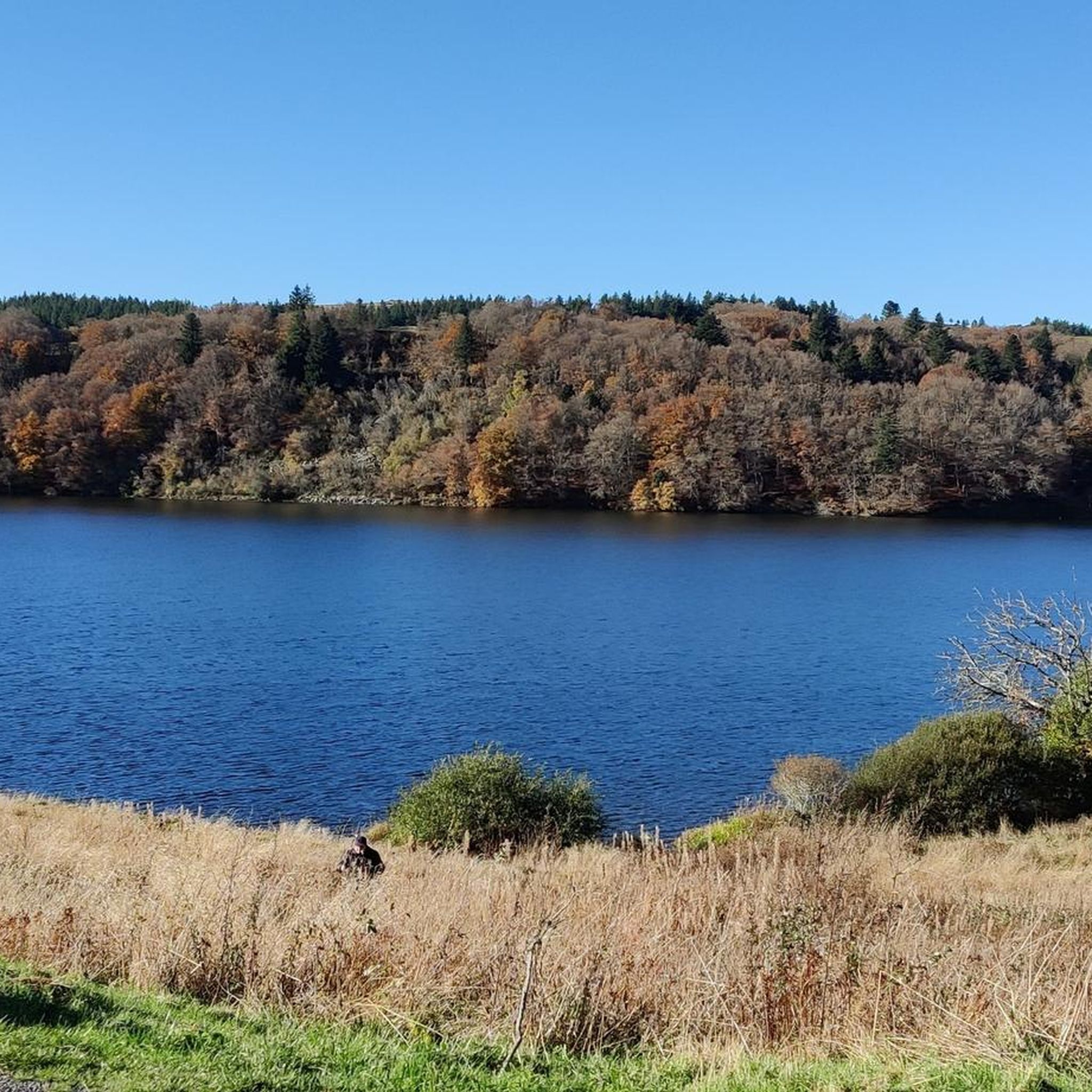
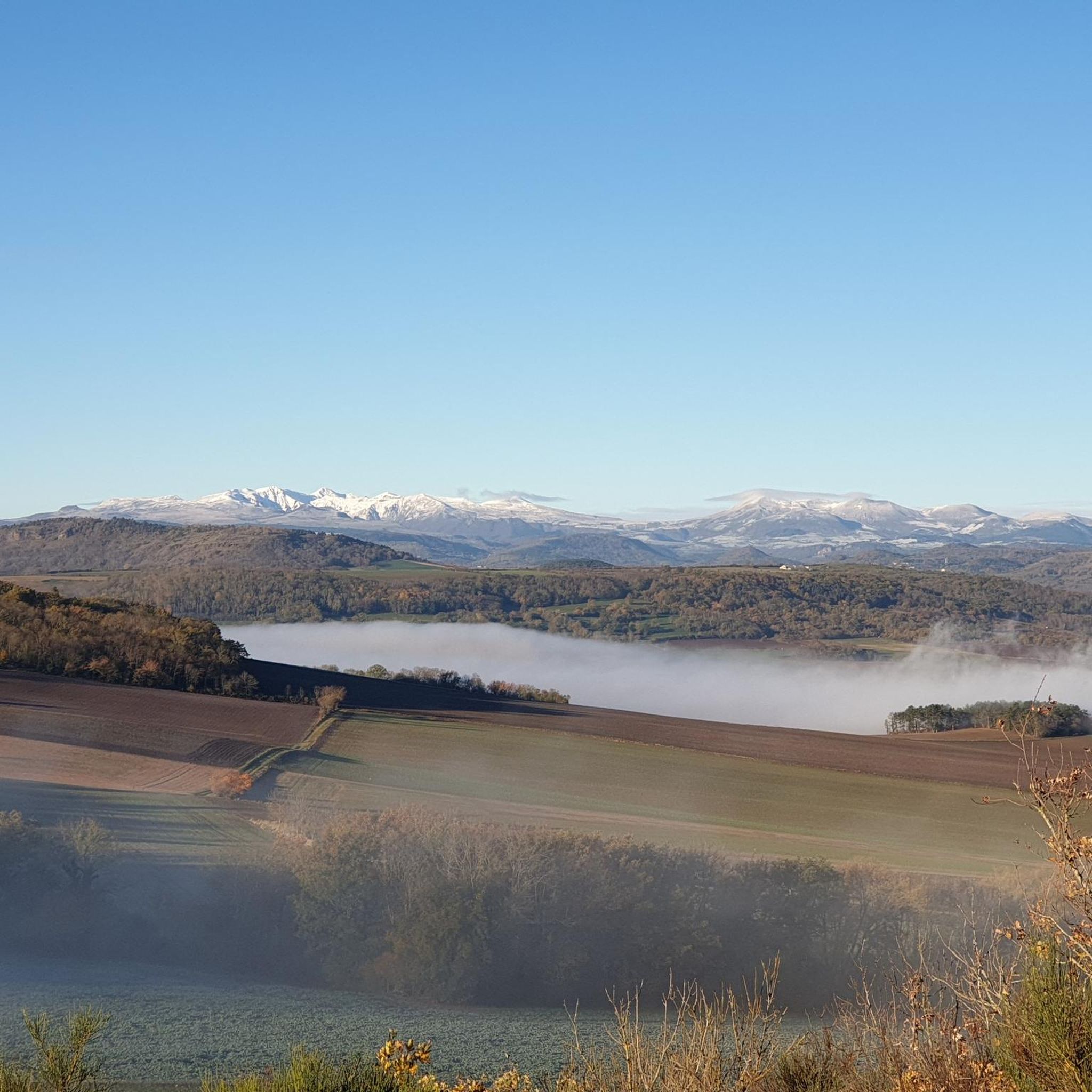
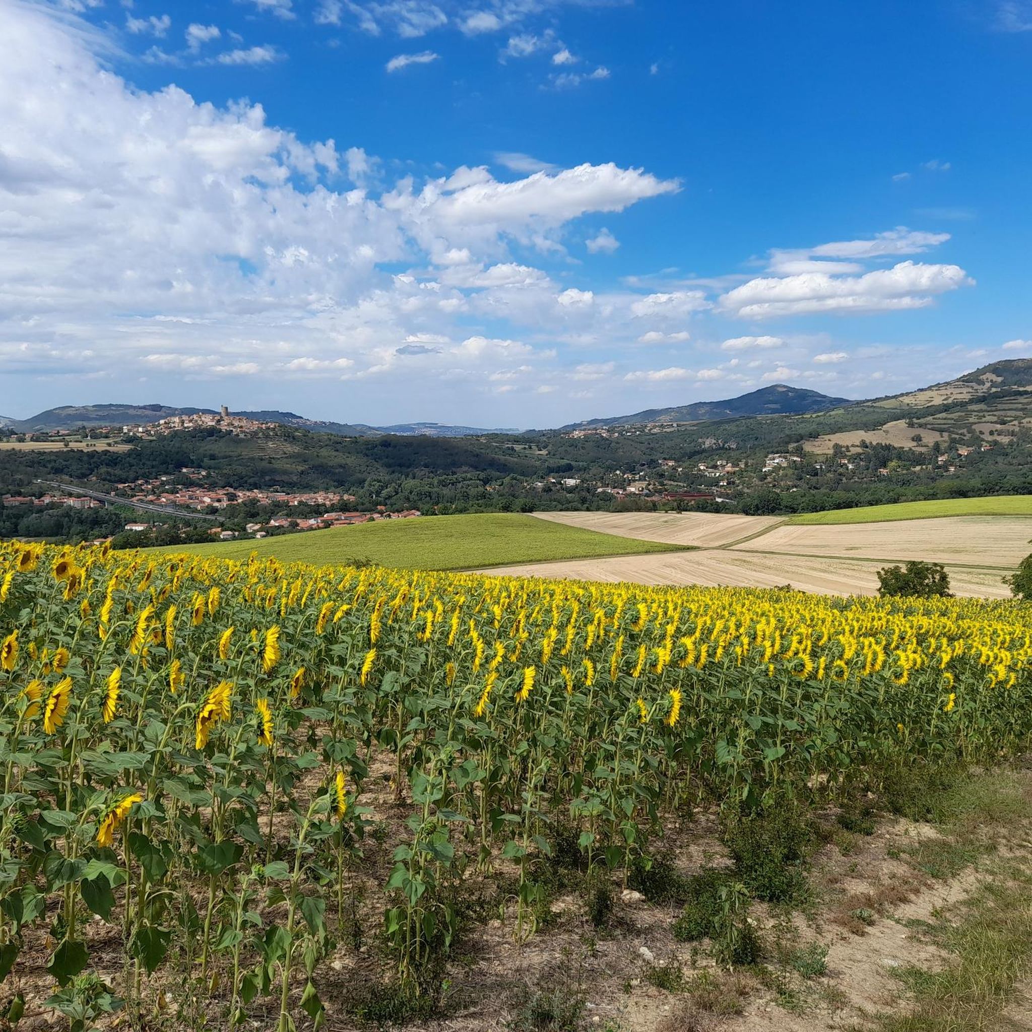
Hiking trails around Sauvagnat-Sainte-Marthe offer diverse landscapes within the Puy-de-Dôme department. The region features varied topography, providing views of the Chaîne des Puys, the Limagne plain, and the Sancy massif. The Allier River, a Natura 2000 area, flows nearby, with trails following its banks and the Ribeyre stream through wooded environments. Prominent natural landmarks include the Puy de Neyrand, a 520-meter hill offering circular views, and volcanic features like the motte basaltique of Buron.
Best hiking trails around Sauvagnat-Sainte-Marthe
- The…
Last updated: June 29, 2026
5.0
(2)
35
hikers
Moderate hike. Good fitness required. Easily-accessible paths. Suitable for all skill levels.
4.6
(5)
38
hikers
Moderate hike. Good fitness required. Easily-accessible paths. Suitable for all skill levels.

Sign up for free
3.8
(4)
36
hikers
7.72km
02:13
190m
190m
Moderate hike. Good fitness required. Easily-accessible paths. Suitable for all skill levels.
5.0
(1)
17
hikers
8.92km
02:38
250m
250m
Moderate hike. Good fitness required. Easily-accessible paths. Suitable for all skill levels.
5.0
(1)
15
hikers
Easy hike. Great for any fitness level. Easily-accessible paths. Suitable for all skill levels.
Get access to more routes and recommendations from other explorers.
Sign up for free
Already have an account?
Our route recommendations are based on thousands of hikes, rides, and runs completed by other people on komoot.
Start today with a free account
Your next adventure awaits.
Login or Signup


Tips from the Community

Former stonemason's house renovated by the municipality
0
0

Some paths are part of a signposted route
0
0
The grass could use a mowing
0
0
One path is less maintained than the other. The grass sometimes reaches shoulder height
0
0
Really between the fields
0
0
Quiet hiking trails and beautiful landscapes
0
0
Here you will find many beautiful hiking trails, with beautiful views
0
0
Along beautiful and quiet paths
0
0
Frequently Asked Questions
How many hiking trails are available around Sauvagnat-Sainte-Marthe?
There are over 200 hiking routes around Sauvagnat-Sainte-Marthe, offering a wide range of options for different skill levels and preferences.
What kind of landscapes can I expect to see while hiking in this region?
The region offers diverse landscapes, including volcanic features, river valleys along the Allier and Ribeyre, and panoramic views of the Chaîne des Puys, the Limagne plain, and the Sancy massif. You'll find a mix of wooded environments and open countryside.
Are there any easy hiking trails suitable for beginners or families?
Yes, there are 78 easy routes available. A good option for a more relaxed walk is the Puy Neyrand – Trail Marker for Local Hike loop from Sauvagnat-Sainte-Marthe, which is an easy 5.9 km trail.
What are some notable natural landmarks or viewpoints to discover on a hike?
The Puy de Neyrand, at 520 meters, offers magnificent circular views of the surrounding areas. You can also explore the banks of the Allier River, one of Europe's last wild rivers, which is a Natura 2000 area. The region's volcanic heritage is evident in features like the motte basaltique of the ancient feudal castle of Buron.
Are there any historical villages or attractions I can visit while hiking?
Absolutely. The medieval village of Montpeyroux, recognized as one of France's 'most beautiful villages,' is a must-see. You can explore its medieval fortress and donjon-museum, which offers a splendid viewpoint. The village of Sauvagnat-Sainte-Marthe itself is a charming vigneron village with a 15th-century church. Consider the Montpeyroux Historic Village loop from Parent to combine hiking with historical exploration.
What do other hikers enjoy most about the trails around Sauvagnat-Sainte-Marthe?
The trails in Sauvagnat-Sainte-Marthe are highly rated by the komoot community, with an average score of 4.6 stars from over 300 reviews. Hikers often praise the varied terrain, the stunning panoramic views, and the well-maintained paths that lead through both natural and historical sites.
Are there any circular hiking routes available?
Yes, many routes in the area are circular. For instance, the Beautiful hiking trail – Municipality of Yronde-et-Buron loop from Parent is a popular circular route that takes about 3 hours 14 minutes to complete. Another option is the View of the Hills and Valleys – Stonemason's House loop from Yronde-et-Buron.
What is the best time of year to go hiking in Sauvagnat-Sainte-Marthe?
The region offers enjoyable hiking experiences across multiple seasons. Spring and autumn provide pleasant temperatures and vibrant scenery, while summer is ideal for longer days. Even winter can be beautiful, with trails offering a different perspective of the landscapes, though some higher elevation paths might require more preparation.
Are there any trails that follow the Allier River?
Yes, several paths follow the Allier River, which is known for its rich ecosystem. A route like 'Entre Allier et Ribeyre' allows hikers to follow the Allier River closely before tracing the Ribeyre stream through fresh, wooded environments, offering unique riverside perspectives.
What are some nearby attractions that can be combined with a hike?
Beyond the trails, you can visit the Village of Corent, explore Montpeyroux: Medieval Village and Tower, or see the View of the old suspension bridge of Parentignat. The Path Between the Cliff and the Allier River is also a highlight in itself.
How long do hikes typically take in this area?
Hike durations vary significantly depending on the route's length and difficulty. Many moderate trails, such as the Knooppunt van PR wandelroutes – Puy Neyrand loop from Saint-Yvoine, can be completed in about 3 to 3.5 hours. Shorter, easy routes might take 1.5 to 2 hours, while longer, more challenging paths could extend to half a day or more.
Most popular routes around Sauvagnat-Sainte-Marthe
Most popular attractions around Sauvagnat-Sainte-Marthe

Get inspired with the komoot mobile app


Explore more
Browse the best Hikes in other regions.
