The best road cycling routes around La Tuilière
4.6
(15)
683
riders
72
rides
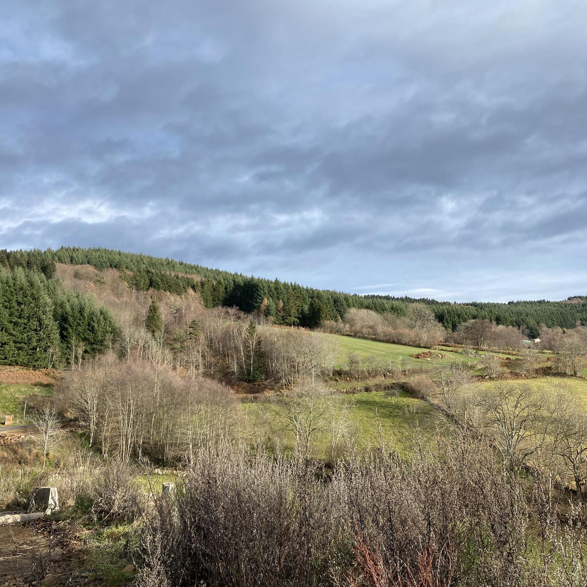
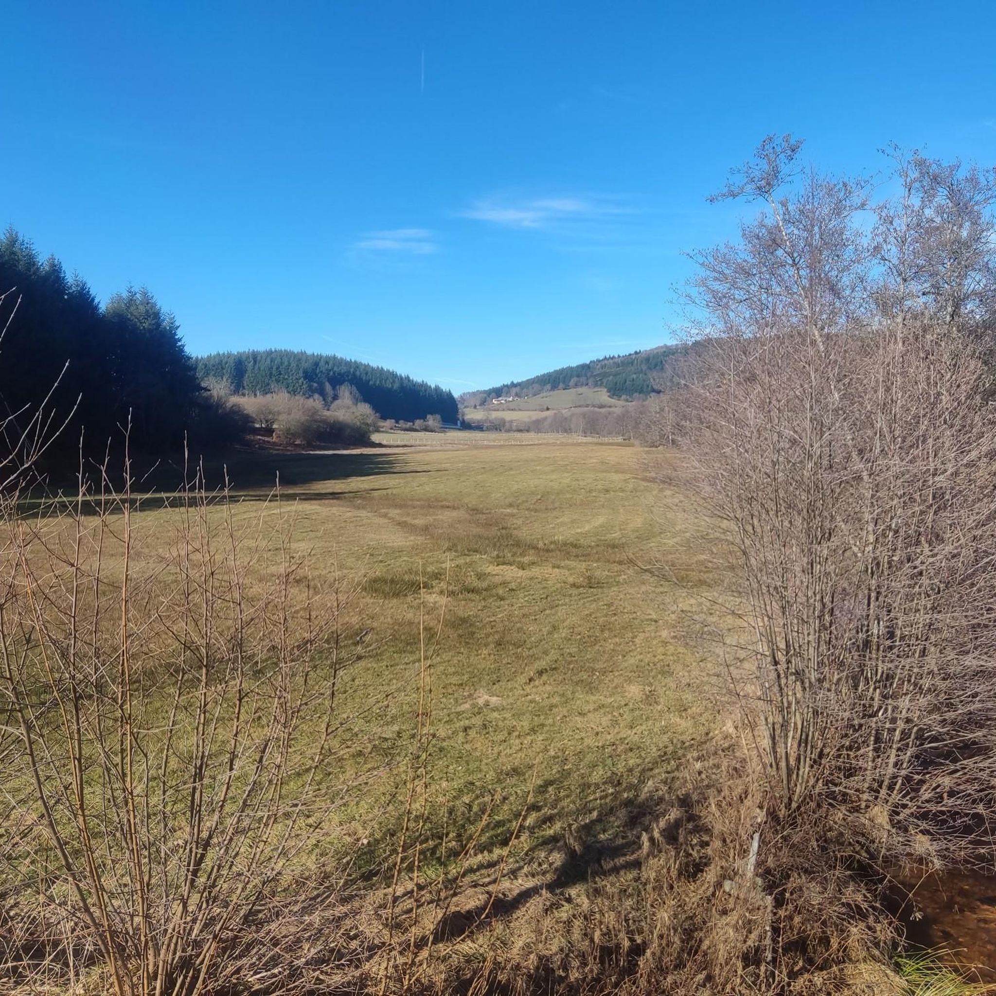
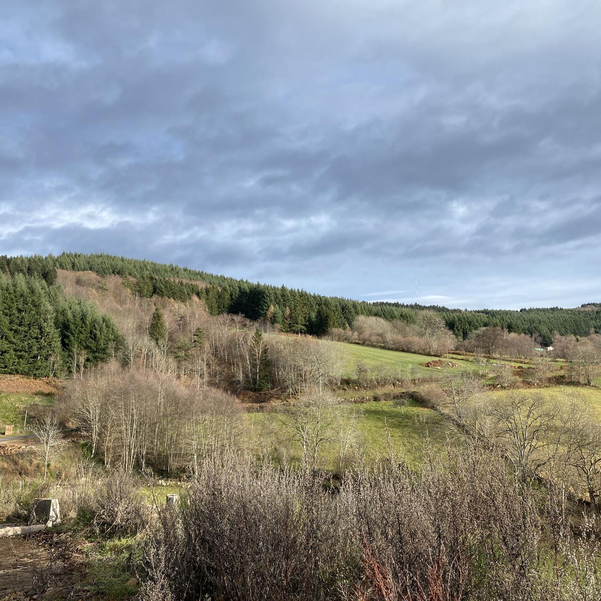
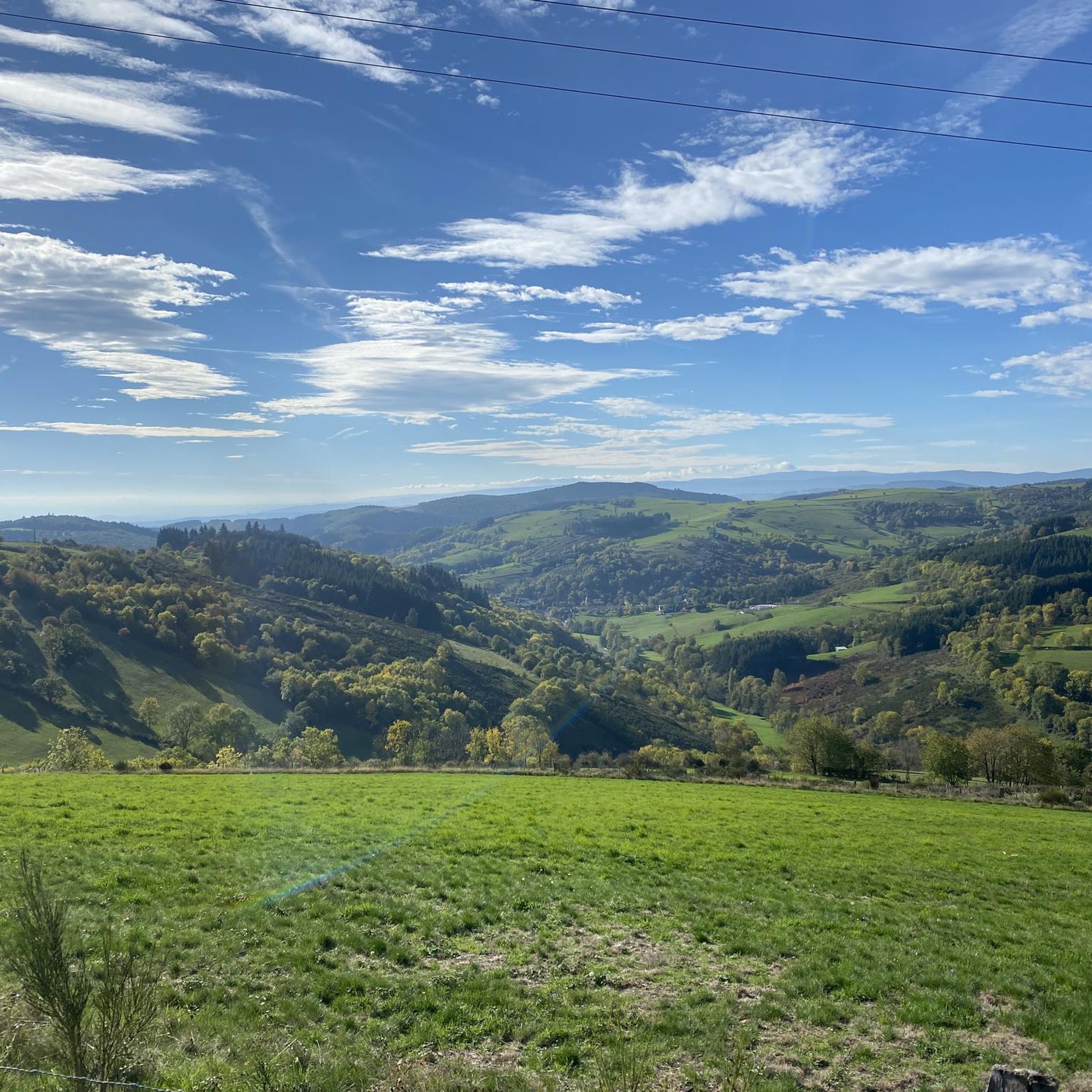
Road cycling routes around La Tuilière offer varied terrain characterized by rolling hills and significant elevation changes within a rural landscape. The region, located in France, provides a network of paved roads suitable for road cyclists seeking both moderate and challenging rides. Cyclists can expect to traverse through areas with forests and open countryside, encountering climbs and descents. This environment supports a range of road cycling experiences, from shorter loops to longer, more demanding routes.
Best road cycling routes around La Tuilière
- The most popular road cycling route is Pommiers-en-Forez Priory – La Roche Castle loop from Saint-Just-en-Chevalet, a 65.7 miles (105.8 km) trail that takes 5 hours 26 minutes to complete. This route features substantial elevation gain through the region's varied landscape.
- Another top favourite among local road cyclists is Col de la Charmé – Col St Thomas (930 m) loop from Saint-Just-en-Chevalet, a difficult 26.7 miles (42.9 km) path. This route offers challenging climbs and descents through the local hills.
- Local road cyclists also love the Col de la Loge des Gardes loop from Saint-Priest-la-Prugne, a 16.4 miles (26.4 km) trail leading through forested and open terrain, often completed in about 1 hour 26 minutes.
- Road cycling around La Tuilière is defined by rolling hills, rural roads, and significant elevation changes. The network offers options for different ability levels, from moderate climbs to more difficult, longer routes.
- The routes in La Tuilière are highly rated by the komoot community with an average score of 4.7 stars from over 15 reviews. More than 800 road cyclists have used komoot to explore La Tuilière's varied terrain.
Last updated: July 4, 2026
4.0
(1)
16
riders
26.4km
01:26
570m
570m
Moderate road ride. Good fitness required. Mostly well-paved surfaces and easy to ride.
7
riders
39.0km
01:55
640m
640m
Moderate road ride. Good fitness required. Mostly well-paved surfaces and easy to ride.

Sign up for free
4
riders
54.4km
02:43
870m
870m
Moderate road ride. Good fitness required. Mostly well-paved surfaces and easy to ride.
7
riders
73.0km
04:03
1,560m
1,560m
Hard road ride. Very good fitness required. Mostly well-paved surfaces and easy to ride.
6
riders
45.7km
02:20
800m
800m
Moderate road ride. Good fitness required. Mostly well-paved surfaces and easy to ride.
Get access to more routes and recommendations from other explorers.
Sign up for free
Already have an account?
Our route recommendations are based on thousands of hikes, rides, and runs completed by other people on komoot.
Start today with a free account
Your next adventure awaits.
Login or Signup
Tips from the Community

A very nice and pleasant pass with several climbs more or less accessible depending on the level and distance. Each side offers its share of landscapes and small villages. If you want to climb it for the beauty of the landscapes, I recommend the ascent via Les Noës or via Charrier, and for those seeking a difficult climb, Charrier also serves as the hardest side.
1
0

A long, steady climb. Almost no cars, wide roads and beautiful surroundings! Hard to find a coffee or lunch place though.
0
0

Ferrières-sur-Sichon is the only commune in the Montagne Bourbonnaise to have preserved three of its castles: that of Bourg (16th century), that of Chappes (15th) and that of Montgilbert (13th).
0
0


Saint-Clément is a small village on the banks of the Bresbe River. If you're hiking the GR 3, you'll probably be delighted to discover its bistro, Chez Louise, which enjoys an excellent reputation. They serve homemade dishes, and with a smile!
0
0

One of the beautiful passes in the area. Little traffic
0
0

A superb climb to start from Chabreloche with very high percentages to arrive at Arconsat then a regular slope, cool in the fir trees even in the heart of summer! The descent to Saint Priest La Prugne is very beautiful! The ascent to the other side is also very pleasant! For more advice, don’t hesitate to follow us on all networks @chouchou_team
0
0
Very beautiful, totally exotic road! It feels like you're somewhere else and you really feel like you've traveled when you come out of the dark woods! For more advice, don’t hesitate to follow us on all networks @chouchou_team
0
0
Frequently Asked Questions
How many road cycling routes are available around La Tuilière?
There are over 70 road cycling routes available around La Tuilière, offering a diverse range of experiences for cyclists. These routes are highly rated by the komoot community, with an average score of 4.7 stars.
What kind of terrain can I expect when road cycling in La Tuilière?
Road cycling in La Tuilière is characterized by rolling hills, rural roads, and significant elevation changes. You'll traverse through areas with forests and open countryside, encountering both climbs and descents, providing a varied and engaging experience.
Are there challenging road cycling routes in La Tuilière?
Yes, La Tuilière offers several challenging road cycling routes. For instance, the Pommiers-en-Forez Priory – La Roche Castle loop from Saint-Just-en-Chevalet is a difficult 65.7-mile (105.8 km) trail with substantial elevation gain. Another demanding option is the Col de la Charmé – Col St Thomas (930 m) loop from Saint-Just-en-Chevalet, a 26.7-mile (42.9 km) path featuring challenging climbs and descents.
Are there any routes suitable for less experienced road cyclists?
While many routes feature significant elevation, there are moderate options available. The Col de la Loge des Gardes loop from Saint-Priest-la-Prugne is a moderate 16.4-mile (26.4 km) trail that leads through forested and open terrain, often completed in about 1 hour 26 minutes, making it a good choice for those seeking a less strenuous ride.
What are some notable landmarks or viewpoints I can discover along the routes?
As you cycle around La Tuilière, you can discover several interesting landmarks and viewpoints. Highlights include the Puy de Montoncel, the striking Saint-Vincent Rock, and the scenic Plateau de la Verrerie. You might also pass by the Col de la Loge des Gardes, a mountain pass, or the Chemin de la Ligue wind turbines.
Can I find circular road cycling routes in the area?
Yes, many of the road cycling routes around La Tuilière are designed as loops, allowing you to start and finish in the same location. Examples include the Pommiers-en-Forez Priory – La Roche Castle loop and the Col de la Charmé – Col St Thomas loop.
What is the best time of year for road cycling in La Tuilière?
Given the region's rolling hills and varied terrain, late spring through early autumn generally offers the most pleasant conditions for road cycling in La Tuilière. During these months, temperatures are typically mild, and the natural landscapes are at their most vibrant, making for an enjoyable ride.
Is La Tuilière suitable for family-friendly road cycling?
While many routes feature significant elevation changes, families with older children or those comfortable with moderate climbs may find suitable options. It's recommended to check the difficulty and elevation profiles of individual routes on komoot to ensure they match your family's fitness level.
Are there dog-friendly road cycling options in La Tuilière?
Road cycling routes are generally on paved public roads, which are typically accessible with dogs if they are able to keep pace or are carried in a suitable trailer. However, always ensure your dog's safety and adhere to local regulations regarding pets on public thoroughfares.
Where can I find places to eat or stay near the road cycling routes?
La Tuilière and its surrounding villages, such as Saint-Just-en-Chevalet and Saint-Priest-la-Prugne, offer various local cafes, pubs, and accommodation options. These can be found along or near many of the popular cycling routes, providing convenient stops for refreshments or overnight stays.
What do other cyclists say about road cycling in La Tuilière?
The road cycling routes in La Tuilière are highly rated by the komoot community, with an average score of 4.7 stars from over 15 reviews. Cyclists often praise the varied terrain, the challenging climbs, and the scenic rural landscapes that define the region's cycling experience.
Are there parking facilities available for cyclists in La Tuilière?
Parking is generally available in the towns and villages that serve as starting points for many routes, such as Saint-Just-en-Chevalet and Saint-Priest-la-Prugne. It's advisable to check specific parking availability for your chosen starting location before your ride.
Is public transport an option for cyclists in La Tuilière?
Public transport options for cyclists in rural areas like La Tuilière can be limited. While some regional buses or trains might accommodate bicycles, it's best to research specific routes and services in advance if you plan to use public transport to access cycling trails.
What are some of the longer road cycling routes available?
For those seeking longer rides, the La Roche Castle – Eglise de Bully loop from Saint-Just-en-Chevalet spans 85.2 miles (137.2 km) with significant elevation. Another substantial option is the Pommiers-en-Forez Priory – La Roche Castle loop from Saint-Just-en-Chevalet, which is 65.7 miles (105.8 km) long.
Most popular attractions around La Tuilière

Get inspired with the komoot mobile app


Explore more
Browse the best Road cycling routes in other regions.
