The best walks and hikes around Plouguin
4.6
(1843)
11,284
hikers
345
hikes
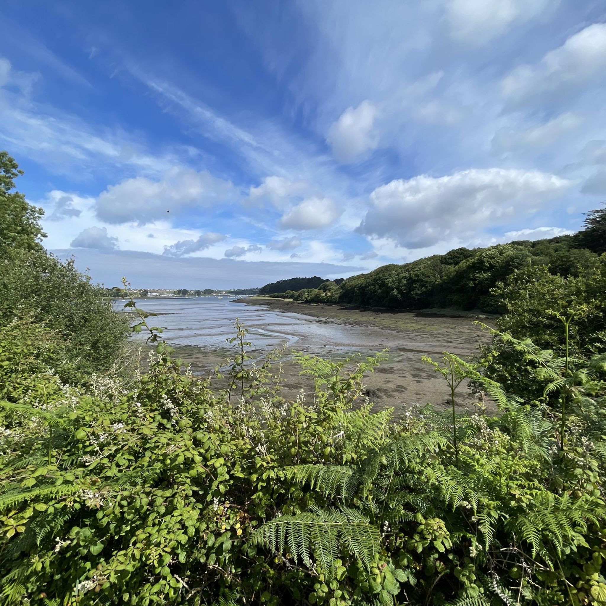
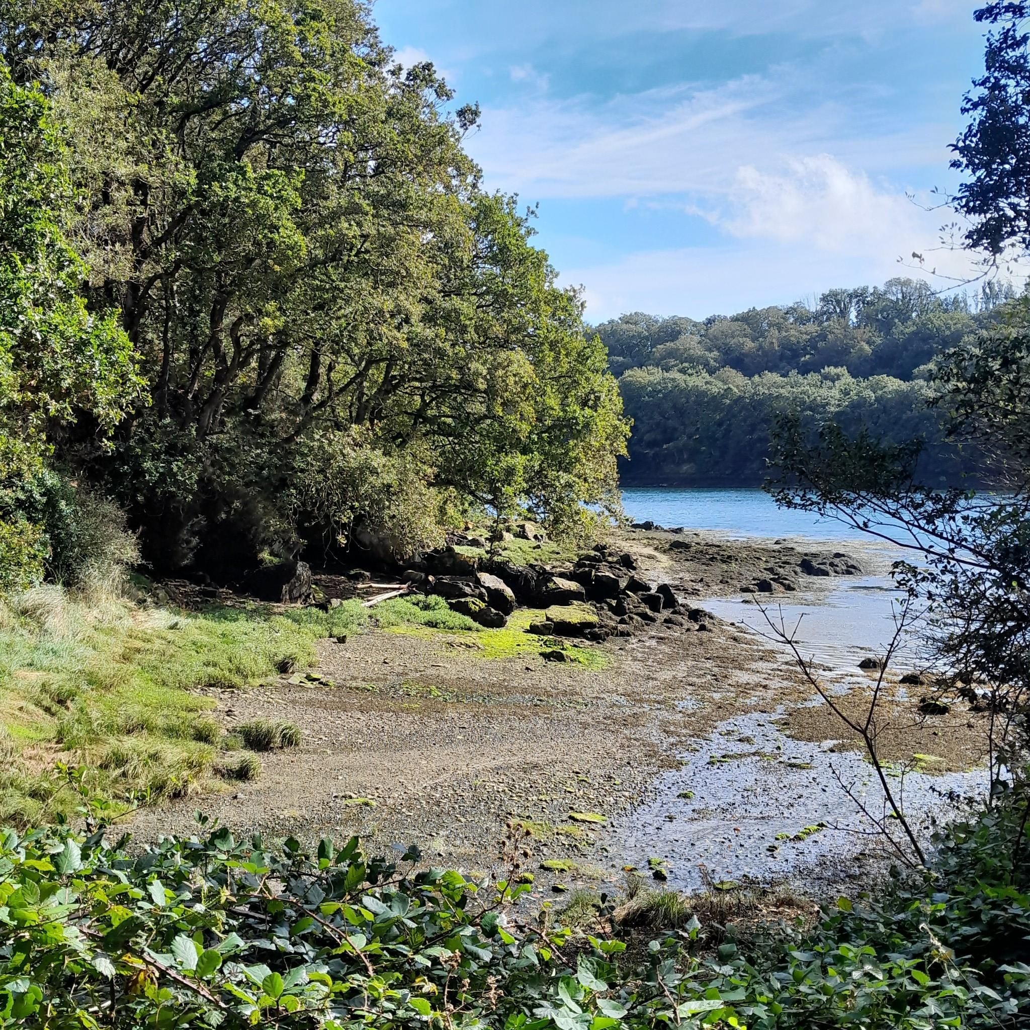
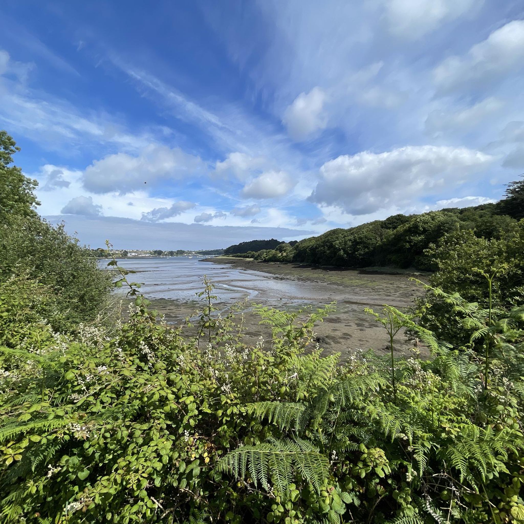
Hiking around Plouguin offers a diverse landscape characterized by its rugged coastline along the Mer d'Iroise and tranquil inland river valleys. The region features dramatic cliffs, pristine beaches, and the historic GR34 coastal path. Inland, the landscape transitions to countryside with old water mills along the Garo river and elevated viewpoints like the Belvédère de Kéramézec.
Best hiking trails around Plouguin
- The most popular hiking route is Plage des Trois Moutons – Saint-Pabu Liberation Memorial loop from Saint-Pabu, a…
Last updated: October 8, 2026
4.7
(11)
83
hikers
Hard hike. Very good fitness required. Easily-accessible paths. Suitable for all skill levels.
4.7
(15)
65
hikers
11.4km
03:01
110m
110m
Moderate hike. Good fitness required. Easily-accessible paths. Suitable for all skill levels.

13
hikers
12.1km
03:14
140m
140m
Moderate hike. Good fitness required. Easily-accessible paths. Suitable for all skill levels.
5.0
(2)
14
hikers
6.69km
01:43
20m
20m
Easy hike. Great for any fitness level. Easily-accessible paths. Suitable for all skill levels.
4.6
(5)
12
hikers
5.20km
01:24
60m
60m
Easy hike. Great for any fitness level. Easily-accessible paths. Suitable for all skill levels.
Get access to more routes and recommendations from other explorers.
Already have an account?
Our route recommendations are based on thousands of hikes, rides, and runs completed by other people on komoot.
Start today with a free account
Your next adventure awaits.

Tips from the Community

Some very short portage sections, but it goes very well on gravel. And it's magnificent!
0
0

We arrived here in sunshine – a wonderful day! The colors and light are so unique – the pictures speak for themselves. L'Aber Benoit is truly special!
0
0
Picture-book ambience - the colors and the light bring the surroundings into a "sphere" of unreality.
0
0
an impressive size - this "Hinkelstein".
0
0

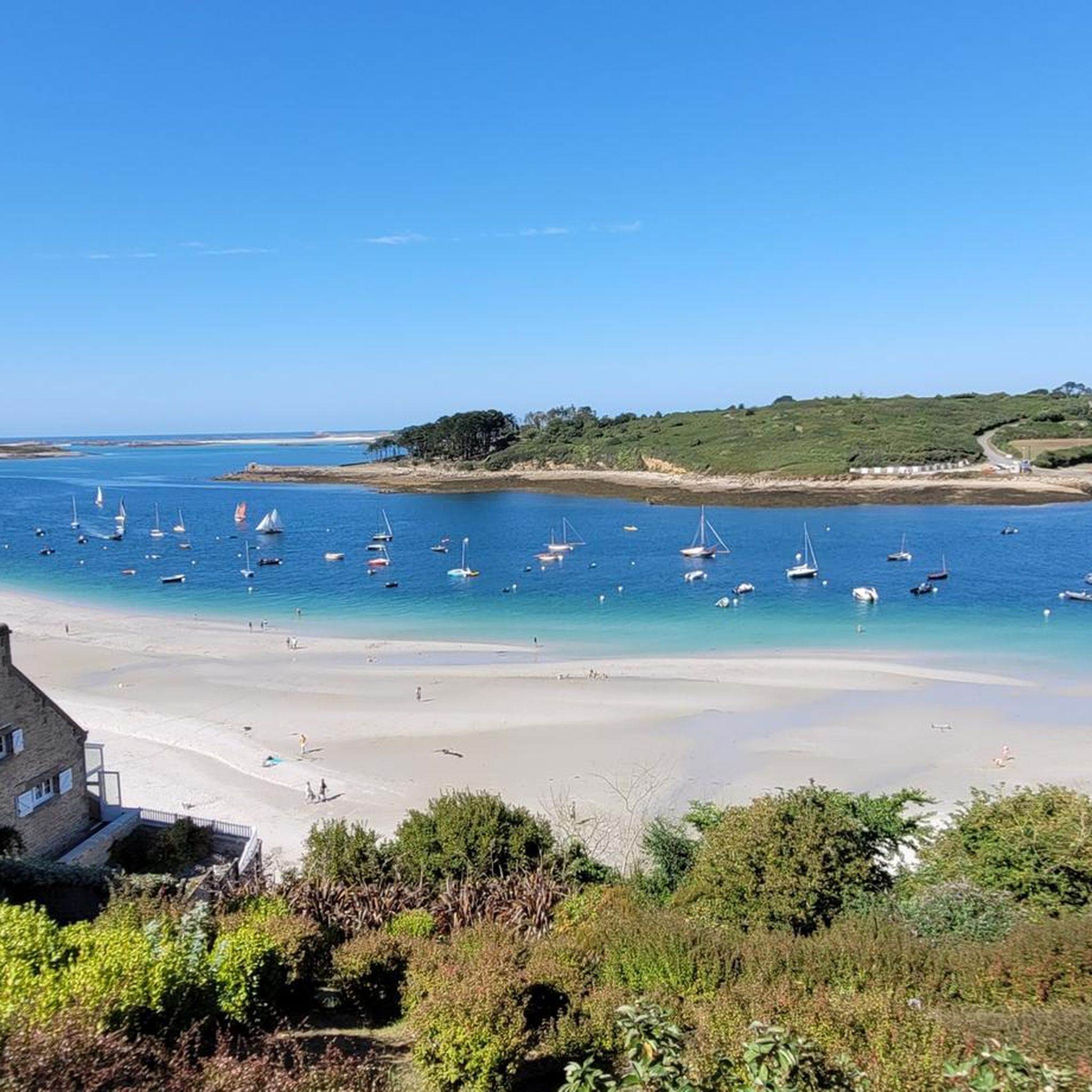
A beautiful beach with superb sand. Kitesurfers can often be seen on the western side of the beach, and the bathing beach is on the eastern side.
0
0

North Finistère: so beautiful!
0
0

The water looks as beautiful turquoise as I imagine it would be in the Caribbean. Especially when a ray of sunshine comes along.
0
0

always moving to learn about history
0
0
Frequently Asked Questions
How many hiking trails are available in Plouguin?
Plouguin offers a wide variety of hiking options, with over 300 routes recorded on komoot. These range from easy strolls to more challenging long-distance trails, ensuring there's something for every hiker.
Are there easy hiking trails suitable for beginners or families in Plouguin?
Yes, Plouguin has numerous easy trails perfect for beginners or families. There are over 160 easy routes, many of which explore the charming countryside or offer gentle coastal walks. An example is the Route des Phares loop from Penhauban, an easy 6.6 km trail that takes about 1 hour 41 minutes.
Where can I find circular hiking routes in Plouguin?
Many of Plouguin's trails are designed as circular routes, allowing you to start and end at the same point. The region's coastal paths, like sections of the GR34, and inland routes through the Vallée des Moulins often form loops. For instance, the Aber-Benoît loop from Keradraon is a moderate 11.3 km circular path exploring the estuary.
Are there any long-distance hiking options in Plouguin?
For those seeking a longer challenge, Plouguin provides access to sections of the renowned GR34 coastal path, also known as the 'Sentier des Douaniers'. These trails offer extensive coastal views and can be combined for longer excursions. A challenging option is the Plage des Trois Moutons – Saint-Pabu Liberation Memorial loop from Saint-Pabu, which is nearly 29 km long.
What kind of viewpoints can I expect on hikes in Plouguin?
Plouguin boasts several panoramic viewpoints. The **Belvédère de Kéramézec** is the highest point in the Pays d'Iroise, offering expansive views from the Crozon Peninsula to the Abers region, including the islands of Molène and Ouessant. You can also find coastal viewpoints like the Guilliguy Dolmen Viewpoint.
What historical or natural landmarks can I see along the trails?
Hiking in Plouguin allows you to discover both natural beauty and historical sites. Inland, you can explore the charming Vallée des Moulins along the Garo river, home to old water mills like Mesnaod and Kinou. A significant historical attraction is the Kerloas Menhir, the tallest menhir in Brittany, which can be incorporated into countryside circuits.
What do other hikers say about the trails in Plouguin?
The hiking trails in Plouguin are highly regarded by the komoot community, with an average score of 4.6 stars from over 1,500 reviews. Hikers often praise the diverse landscapes, from dramatic coastlines to serene river valleys, and the well-maintained paths that offer a rich connection to nature and heritage.
Are there any specific events or organized walks in Plouguin?
Yes, Plouguin is known for 'The Plouguinoise walks,' which are organized hiking events. Some of these events are held for charitable causes and provide structured opportunities to explore the area's trails. You can find more information about these walks on the Abers Tourisme website.
What are the key natural features that define hiking in Plouguin?
Plouguin's hiking experience is defined by its unique blend of rugged coastline along the Mer d'Iroise, featuring dramatic cliffs and pristine beaches, and tranquil inland river valleys. The region also includes the picturesque Vallée des Moulins with its historic water mills and elevated viewpoints offering expansive vistas.
Can I find trails that combine coastal scenery with inland exploration?
Absolutely. Plouguin is ideal for hikes that blend coastal and countryside landscapes. Trails like the 'Sentier côtier et campagne depuis Porspaul' combine stunning views of the rocky coast with routes featuring traditional granite houses inland. The Route des Phares – Aber-Benoît loop from Tréglonou is another great example, offering varied terrain.
Are there any trails that pass by lakes or other water bodies for a refreshing stop?
While Plouguin is famous for its coastline and river valleys, you can also find trails that lead to serene water bodies. The Plabennec Natural Lake is a notable highlight in the area, offering a peaceful spot that can be incorporated into some hiking routes.
Most popular attractions around Plouguin

Get inspired with the komoot mobile app


Explore more
Browse the best Hikes in other regions.
