The best walks and hikes around Landunvez
4.7
(233)
1,766
hikers
39
hikes
Hiking around Landunvez offers diverse coastal landscapes in the Finistère department of Brittany, France. The region is characterized by dramatic coastlines, featuring jagged cliffs, protected dunes, and pristine beaches. Trails often traverse wild, sculpted terrain, providing continuous sea views and access to historical landmarks. This area presents a variety of hiking experiences across its rugged natural features.
Best hiking trails around Landunvez
- The most popular hiking route is Saint-Laurent Peninsula – Viewpoint (hill) loop from Porspoder, a 2.9 miles (4.6 km) trail that takes 1 hour 11 minutes to complete. This easy route offers views of the offshore Le Four lighthouse and features wild flowers emerging from rocky terrain.
- Another top favourite among local hikers is Port de Portsall – Guilliguy Megaliths loop from Portsall, a moderate 8.4 miles (13.5 km) path. This trail explores the coastline near Portsall, passing by historical megaliths and offering expansive sea views.
- Local hikers also love the Saint-Samson Chapel – Penfoul Beach loop from Porspoder, a 14.3 miles (23.0 km) trail leading through coastal paths and past the historic Saint-Samson Chapel, often completed in about 6 hours 1 minute.
- Hiking around Landunvez is defined by dramatic coastal landscapes, rugged cliffs, and protected dunes. The network offers options for different ability levels, from easy coastal walks to more challenging long-distance routes.
- The routes in Landunvez are highly rated by the komoot community with an average score of 4.7 stars from over 200 reviews. More than 1600 hikers have used komoot to explore Landunvez's varied terrain.
Last updated: July 5, 2026
4.8
(18)
200
hikers
4.64km
01:12
20m
20m
Easy hike. Great for any fitness level. Easily-accessible paths. Suitable for all skill levels.
4.7
(19)
112
hikers
13.5km
03:29
80m
80m
Moderate hike. Good fitness required. Easily-accessible paths. Suitable for all skill levels.

Sign up for free
4.6
(21)
129
hikers
22.8km
05:58
170m
170m
Hard hike. Very good fitness required. Easily-accessible paths. Suitable for all skill levels.
4.9
(15)
125
hikers
7.04km
01:50
50m
50m
Easy hike. Great for any fitness level. Easily-accessible paths. Suitable for all skill levels.
4.9
(12)
114
hikers
8.56km
02:12
40m
40m
Moderate hike. Good fitness required. Easily-accessible paths. Suitable for all skill levels.
Get access to more routes and recommendations from other explorers.
Sign up for free
Already have an account?
Our route recommendations are based on thousands of hikes, rides, and runs completed by other people on komoot.
Start today with a free account
Your next adventure awaits.
Login or Signup

Tips from the Community

Only the two stone beams form a cross in its simplest form, yet in a highly exposed location overlooking the bay that extends inland here. And of course, this small sacred monument—like all crosses encountered by hikers along the way—is an essential Christian symbol. It stands for the memory of his crucifixion, but at the same time also for the resurrection of Jesus Christ. The following quote comes from the important French order founder and doctor of the Church, Saint Bernard of Clairvaux: + "With us on earth there is His memory, but in the kingdom of heaven is His presence: This presence is the joy of those who have already attained salvation. The memory is our consolation, we who are still wanderers, traveling toward the Fatherland."
0
0

Viewpoint with historic chapel.
0
0

This is a 17th-century chapel. It stands on the wild coast and is a jewel of our religious heritage. Thanks to the association's efforts, it is often open, allowing many visitors, hikers (the chapel is located along the GR 34 hiking trail), and tourists to spend a few moments in their prayers. The chapel is open daily from 10 a.m. to 6 p.m., from Palm Sunday to All Saints' Day and during the Christmas holidays. Outside of these periods, the chapel is open every Sunday. The site and location of the chapel were already a place of worship in prehistoric times. A menhir, now lost, located near the chapel was long venerated. The presence of a Gallic stele to the south attests to a sacred place in the Celtic period. The site was later Christianized: two granite crosses dating from the early Middle Ages can be found next to the fountain and next to the chapel. In the fountain below the chapel, young children, or simply their shirts, were dipped to ensure their strength and health, help them speak or walk, or cure eye ailments. Read about this below the bottom of the parish letter, dating from 1856. https://www.chapelleslandunvez.fr/saint-samson
0
0

Two benches inside and a beautiful place of meditation 😍
0
0

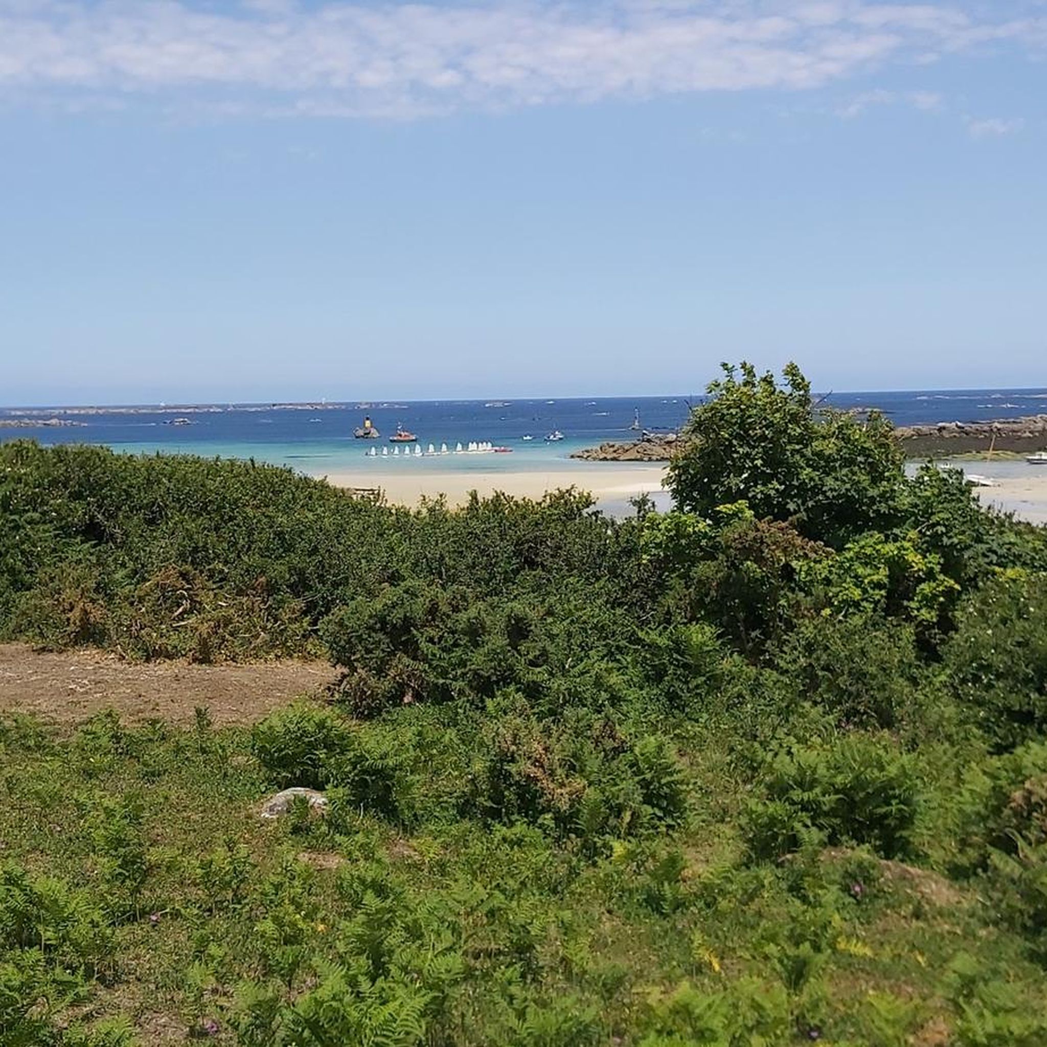
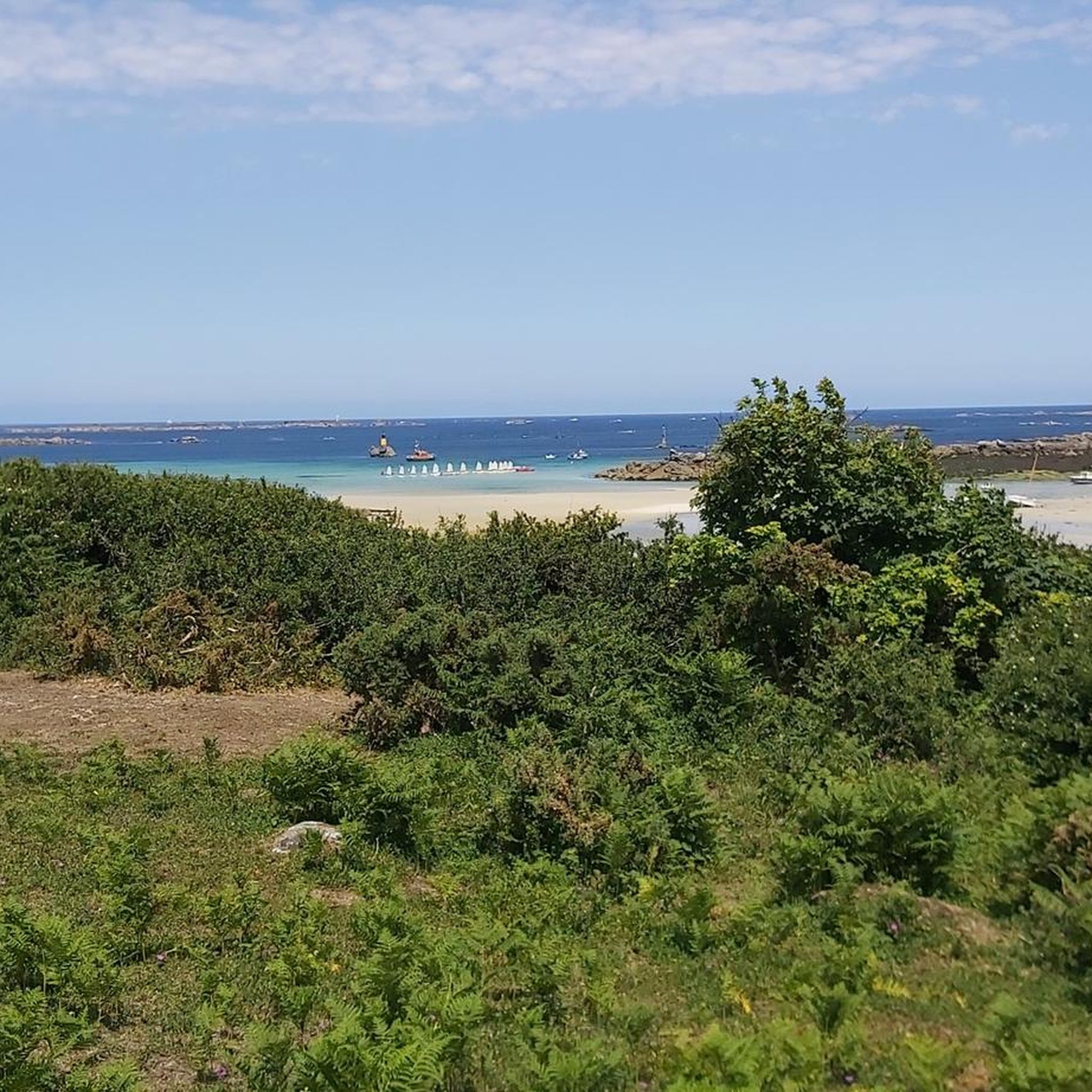
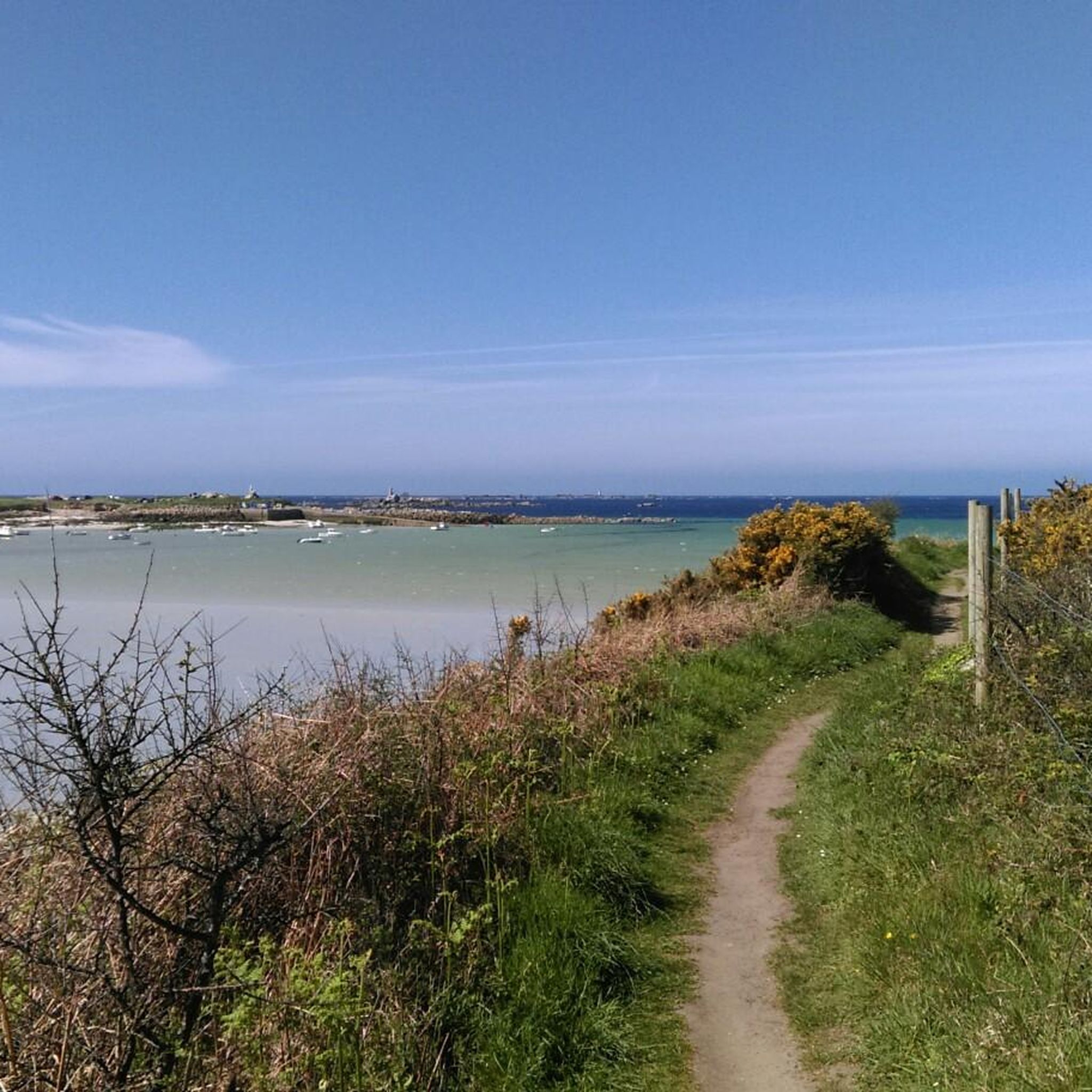
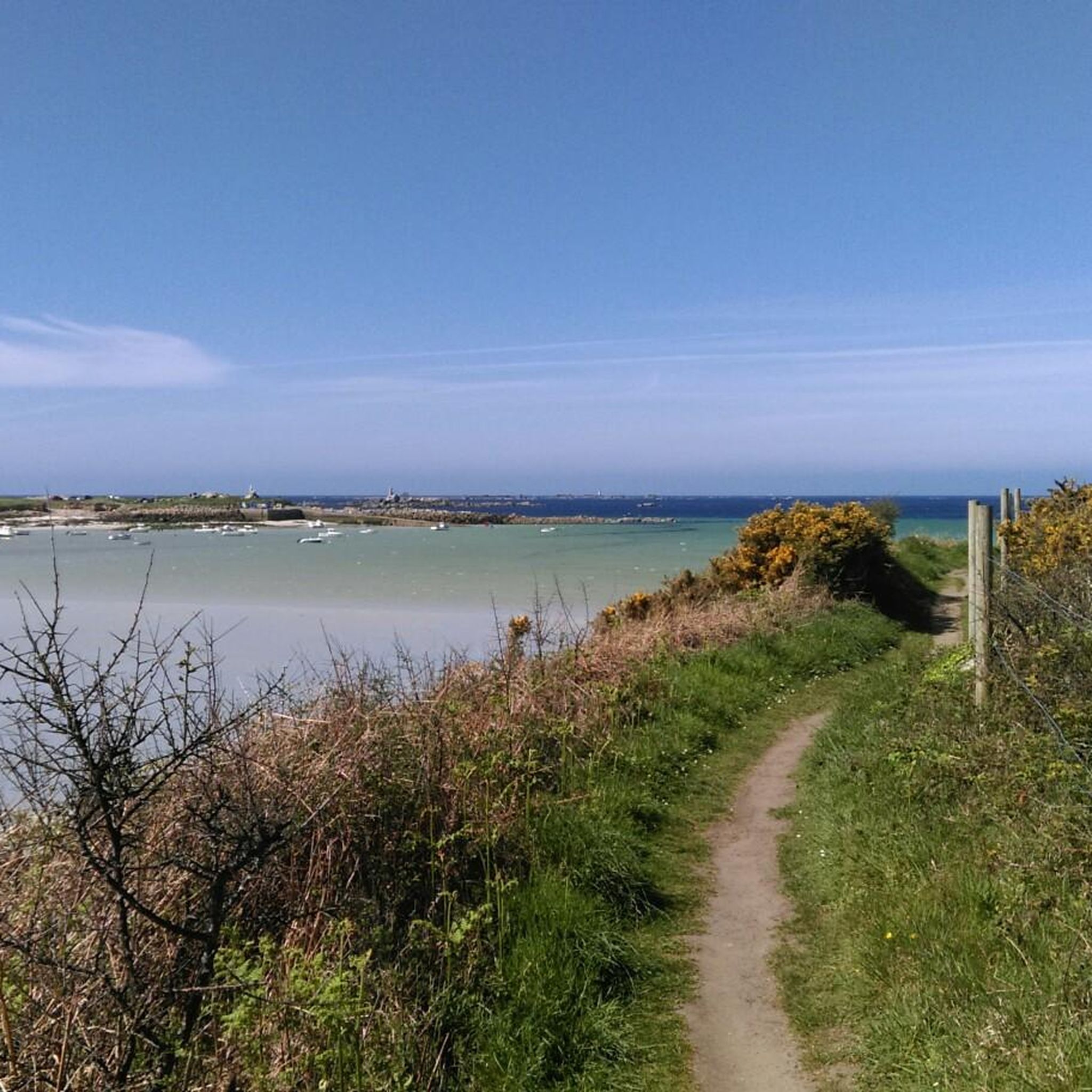
The wild coast of Landunvez, located in Finistère, offers a striking natural spectacle, where steep cliffs plunge into the Atlantic Ocean. Powerful waves crash against the rocks. This wild landscape, typical of Brittany, can be discovered on foot along the coastal paths.
0
0

Facing the vastness of the sea, the Saint-Samson chapel makes us feel infinitely small. It is no wonder that the site has been a place of worship since prehistoric times. The chapel itself was built in the 17th century.
1
0

Portsall Harbor is located in a small natural cove. The shallow rocky bottoms make navigation demanding, even dangerous in bad weather. This geography coupled with a storm led to the grounding of the Amoco Cadiz, an oil tanker, in 1978, causing the largest oil spill in history. Today, the water has regained its beautiful colors and the port is a very pleasant place to stroll, enjoy a beer or eat while enjoying the pleasant view.
2
0
Frequently Asked Questions
How many hiking trails are available in Landunvez?
Landunvez offers a wide variety of hiking experiences with over 39 trails recorded on komoot. These include 20 easy routes, 17 moderate routes, and 2 more challenging options, ensuring there's something for every skill level.
What is the typical terrain like for hiking in Landunvez?
The terrain in Landunvez is predominantly coastal and dramatic, characterized by rugged cliffs, protected dunes, and pristine beaches. You'll often find yourself traversing wild, sculpted landscapes with continuous sea views, especially along the famous GR34 coastal path.
Are there any historical landmarks or points of interest along the hiking trails?
Yes, Landunvez's trails are rich with history. You can encounter the iconic Saint-Samson Chapel, perched dramatically on a cliff edge, or the ancient Kerloas Menhir, reputed to be the tallest in France. Many routes also offer views of the offshore Le Four lighthouse.
Can I hike to the Kerloas Menhir?
While the Kerloas Menhir is a significant landmark in the region, it's not directly on a featured komoot route in this guide. However, it's a prominent historical site visible from afar and can be visited as part of a broader exploration of the area. For a route that includes other historical elements, consider the Port de Portsall – Guilliguy Megaliths loop from Portsall.
What natural features can I expect to see while hiking in Landunvez?
Hikers in Landunvez are treated to breathtaking natural beauty. Expect to see a dramatic coastline with jagged cliffs, expansive protected dunes, and serene beaches. The Saint-Laurent Peninsula, for example, offers stunning natural walks with wild flowers and exceptional views of the Le Four lighthouse.
Are there family-friendly hiking trails in Landunvez?
Yes, Landunvez offers several easy routes suitable for families. A great option is the Saint-Laurent Peninsula – Viewpoint (hill) loop from Porspoder, which is 2.9 miles (4.6 km) long and takes about an hour to complete, offering beautiful coastal views.
What is the best time of year to go hiking in Landunvez?
The coastal landscapes of Landunvez are beautiful and wild regardless of the season. However, for the most comfortable hiking experience, late spring to early autumn (May to October) generally offers milder weather and less chance of strong winds or heavy rain, making it ideal for exploring the trails.
Are there circular walks available in Landunvez?
Yes, many of the trails in Landunvez are designed as circular routes, allowing you to start and end at the same point. Examples include the Pointe de Landunvez – Saint Samson Chapel loop from Portsall and the Surfspot – Gonvel Battery loop from Argenton.
What do other hikers enjoy the most about hiking in Landunvez?
The area is highly rated by the komoot community, with an average score of 4.7 stars from over 200 reviews. Hikers frequently praise the dramatic coastal scenery, the wild and unspoiled nature of the trails, and the continuous sea views that define the Landunvez hiking experience.
Are there any trails that pass by the Saint-Samson Chapel?
Absolutely. The Saint-Samson Chapel – Penfoul Beach loop from Porspoder is a longer trail that specifically leads past the historic Saint-Samson Chapel, offering a chance to see this iconic landmark up close.
Is public transport available to reach hiking trailheads in Landunvez?
While Landunvez is a rural coastal area, local bus services connect some of the larger towns and villages, which may provide access to certain trailheads. However, for maximum flexibility, especially to reach more remote starting points, traveling by car is often recommended. Always check local transport schedules in advance.
Are there parking facilities near the hiking trails in Landunvez?
Yes, many popular trailheads and coastal access points in Landunvez, particularly in areas like Porspoder and Portsall, offer designated parking areas. It's generally easy to find parking, especially outside of peak tourist season.
Most popular routes around Landunvez
Most popular attractions around Landunvez

Get inspired with the komoot mobile app


Explore more
Browse the best Hikes in other regions.
