The best running trails around Saint-Mards-De-Blacarville
4.5
(43)
2,153
runners
184
runs
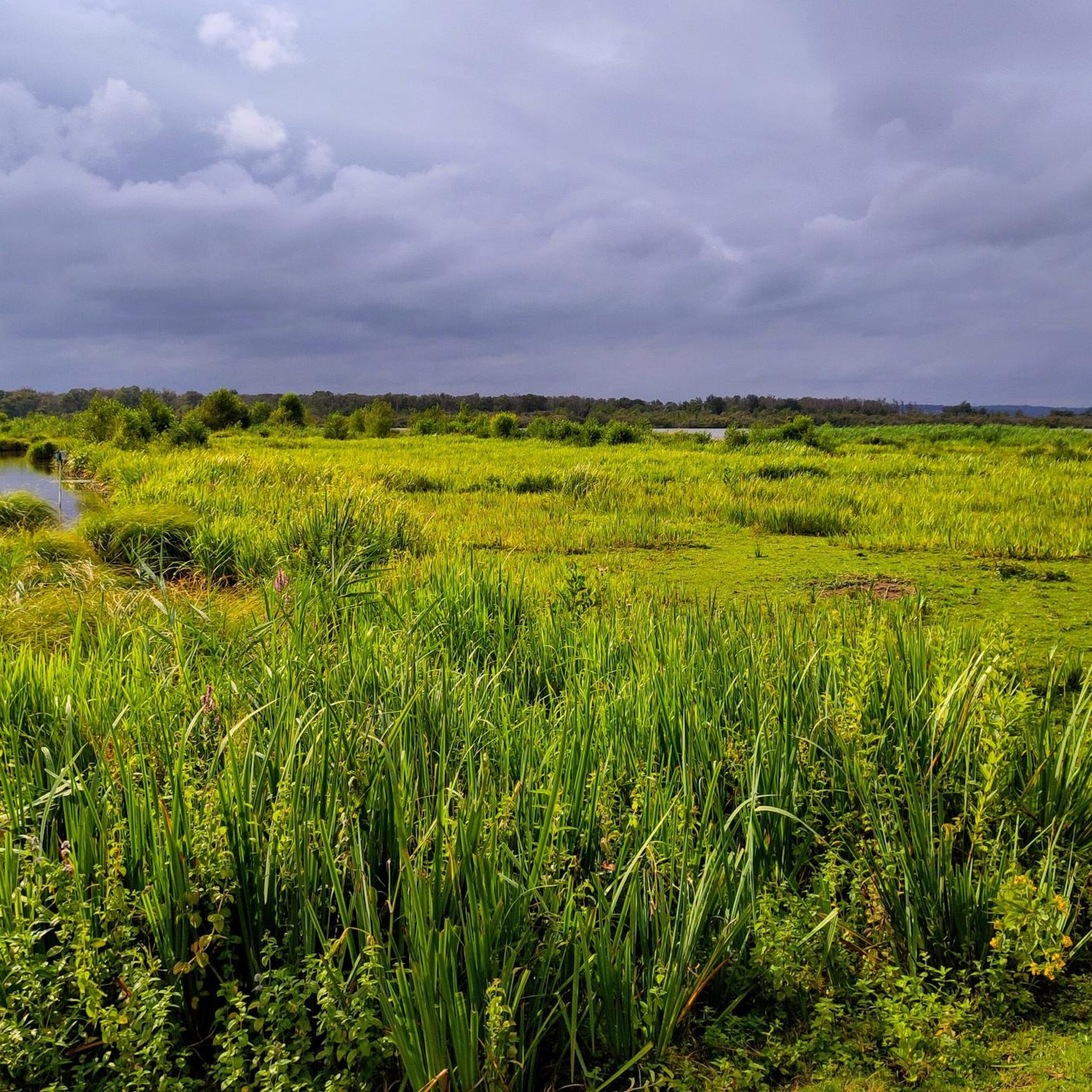
Jogging around Saint-Mards-De-Blacarville offers a network of routes primarily characterized by relatively flat terrain and scenic loops. The region features a mix of open countryside and paths near local waterways, providing varied running experiences. Elevation gains are generally low, making many routes accessible for different fitness levels.
Best jogging routes around Saint-Mards-De-Blacarville
- The most popular jogging route is Pont-Audemer loop from Pont-Audemer, a 8.8 miles (14.2 km) trail that takes 1 hour 29 minutes to complete. This moderate route…
Last updated: July 5, 2026
31
runners
5.23km
00:35
20m
20m
Moderate run. Good fitness required. Mostly paved surfaces. Suitable for all skill levels.
14
runners
6.05km
00:41
30m
30m
Moderate run. Good fitness required. Mostly paved surfaces. Suitable for all skill levels.

Sign up for free
5.0
(1)
10
runners
5.53km
00:34
30m
30m
Moderate run. Good fitness required. Mostly paved surfaces. Suitable for all skill levels.
7
runners
3.10km
00:22
10m
10m
Easy run. Great for any fitness level. Mostly paved surfaces. Suitable for all skill levels.
6
runners
11.5km
01:19
160m
160m
Moderate run. Good fitness required. Mostly paved surfaces. Suitable for all skill levels.
Get access to more routes and recommendations from other explorers.
Sign up for free
Already have an account?
Our route recommendations are based on thousands of hikes, rides, and runs completed by other people on komoot.
Start today with a free account
Your next adventure awaits.
Login or Signup




Tips from the Community

Amazing city crisscrossed by multiple canals or streams of the Risle.
0
0

There is a very nice little street between rue de la République and rue Sadi Carnot, it is rue Paul Clémencin. To have
1
0

The city was built around the Risle.
1
0
Between modern, traditional and refined cuisines, Pont-Audemer station, with an innovative concept in Normandy, has managed to recreate a railway atmosphere which offers Norman Venice an attractiveness worthy of the prestige of the great hotel restaurants in the history of railway gastronomy. Happy destiny of a station slated for demolition and which comes back to life with an original and sentimental concept in the art of accommodating good taste, values and flavors... http://seinoz.canalblog.com/archives/2018/06/17/36489940.html
2
0

Pont-Audemer is drained by the Risle, a tributary of the Seine. Surrounded by many wetlands, it is nicknamed the Norman Venice.
3
0


Frequently Asked Questions
How many running routes are available in Saint-Mards-De-Blacarville?
There are over 190 running routes around Saint-Mards-De-Blacarville, offering a wide variety of options for different fitness levels. The majority, about 150, are moderate, with 16 easy and 34 difficult trails also available.
What is the general terrain like for running in Saint-Mards-De-Blacarville?
The region is characterized by relatively flat terrain and scenic loops, with generally low elevation gains. You'll find a mix of open countryside and paths near local waterways and ponds, providing varied running experiences suitable for many abilities.
Are there running trails suitable for beginners in Saint-Mards-De-Blacarville?
Yes, Saint-Mards-De-Blacarville offers 16 easy running routes. A good option for beginners is the Running loop from Toutainville, which is 3.1 miles (5.0 km) long with minimal elevation gain, making it a gentle introduction to the area's trails.
Are there any circular running routes in the area?
Many of the running routes in Saint-Mards-De-Blacarville are designed as circular loops, allowing you to start and finish at the same point. For example, the Manneville loop from Pont-Audemer is a moderate 3.4-mile (5.5 km) circular route.
Are the running routes in Saint-Mards-De-Blacarville suitable for families?
Yes, the region's generally flat terrain and numerous easy to moderate loops make many routes family-friendly. Shorter, well-maintained paths near local ponds, such as the Les Étangs de Pont-Audemer loop from Toutainville, are great for families looking for a pleasant outing.
Can I bring my dog on the running trails?
Most natural trails in the Saint-Mards-De-Blacarville area are dog-friendly, especially those through open countryside and along waterways. However, it's always recommended to keep your dog on a leash and be mindful of local regulations, especially near agricultural areas or protected wildlife zones.
Where can I find parking near the running trails?
Parking is generally available in and around the main towns like Pont-Audemer and Toutainville, which serve as common starting points for many routes. Look for public parking areas in these villages, often near local amenities or trailheads.
What kind of wildlife might I see while running in Saint-Mards-De-Blacarville?
Given the region's mix of open countryside, waterways, and ponds, you might spot various bird species, small mammals, and aquatic wildlife. The Marais Vernier, a nearby wetland area, is particularly known for its diverse birdlife and unique ecosystem.
What are some points of interest or attractions I can see near the running routes?
While running, you can explore charming local settlements like Pont-Audemer, often called the 'Venice of Normandy' due to its canals. Other notable sights include the Marais Vernier Viewpoint and the historic Saint-Thomas-Becket Chapel. The Marais-Vernier Village and Thatched Cottages also offer a glimpse into traditional architecture.
What do other runners say about the trails in Saint-Mards-De-Blacarville?
The running routes in Saint-Mards-De-Blacarville are highly rated by the komoot community, with an average score of 4.6 stars from over 30 reviews. Runners often praise the peaceful countryside, the well-maintained paths, and the scenic views, especially around the local ponds and waterways.
What is the best time of year for running in Saint-Mards-De-Blacarville?
Spring and autumn generally offer the most pleasant conditions for running, with mild temperatures and beautiful scenery as nature awakens or changes colors. Summer can also be enjoyable, especially in the mornings or evenings, while winter runs are possible but may require appropriate gear for cooler, potentially wetter weather.
Are there options for longer running routes in the area?
Yes, for those looking for a longer run, the Pont-Audemer loop from Pont-Audemer is a moderate 8.8-mile (14.2 km) trail. This route allows you to explore more of the surrounding countryside and waterways.
Most popular routes around Saint-Mards-De-Blacarville
Most popular attractions around Saint-Mards-De-Blacarville

Get inspired with the komoot mobile app


Explore more
Browse the best Running Trails & Routes in other regions.
