The best road cycling routes around Furmeyer
4.6
(135)
2,981
riders
73
rides
Road cycling routes around Furmeyer offer access to the dramatic landscapes of the French Alps, characterized by majestic mountain passes and picturesque valleys. The region features diverse terrain, from well-paved roads to challenging climbs, providing varied experiences for cyclists. Furmeyer's location in the Hautes-Alpes places it within a renowned cycling network, including segments of the Route des Grandes Alpes. Cyclists can navigate winding roads and switchbacks that define the Alpine environment.
Best road cycling routes around Furmeyer
- The most popular…
Last updated: July 8, 2026
4.0
(10)
159
riders
54.2km
02:31
640m
640m
Moderate road ride. Good fitness required. Mostly well-paved surfaces and easy to ride.
4.4
(5)
157
riders
103km
05:46
2,260m
2,260m
Hard road ride. Very good fitness required. Some segments of this route may be unpaved and difficult to ride.

Sign up for free
5.0
(2)
38
riders
21.6km
01:03
290m
290m
Easy road ride. Great for any fitness level. Mostly well-paved surfaces and easy to ride.
5.0
(1)
39
riders
26.1km
01:13
280m
280m
Easy road ride. Great for any fitness level. Mostly well-paved surfaces and easy to ride.
4.3
(11)
59
riders
28.1km
01:21
360m
360m
Moderate road ride. Good fitness required. Mostly well-paved surfaces and easy to ride.
Get access to more routes and recommendations from other explorers.
Sign up for free
Already have an account?
Our route recommendations are based on thousands of hikes, rides, and runs completed by other people on komoot.
Start today with a free account
Your next adventure awaits.
Login or Signup
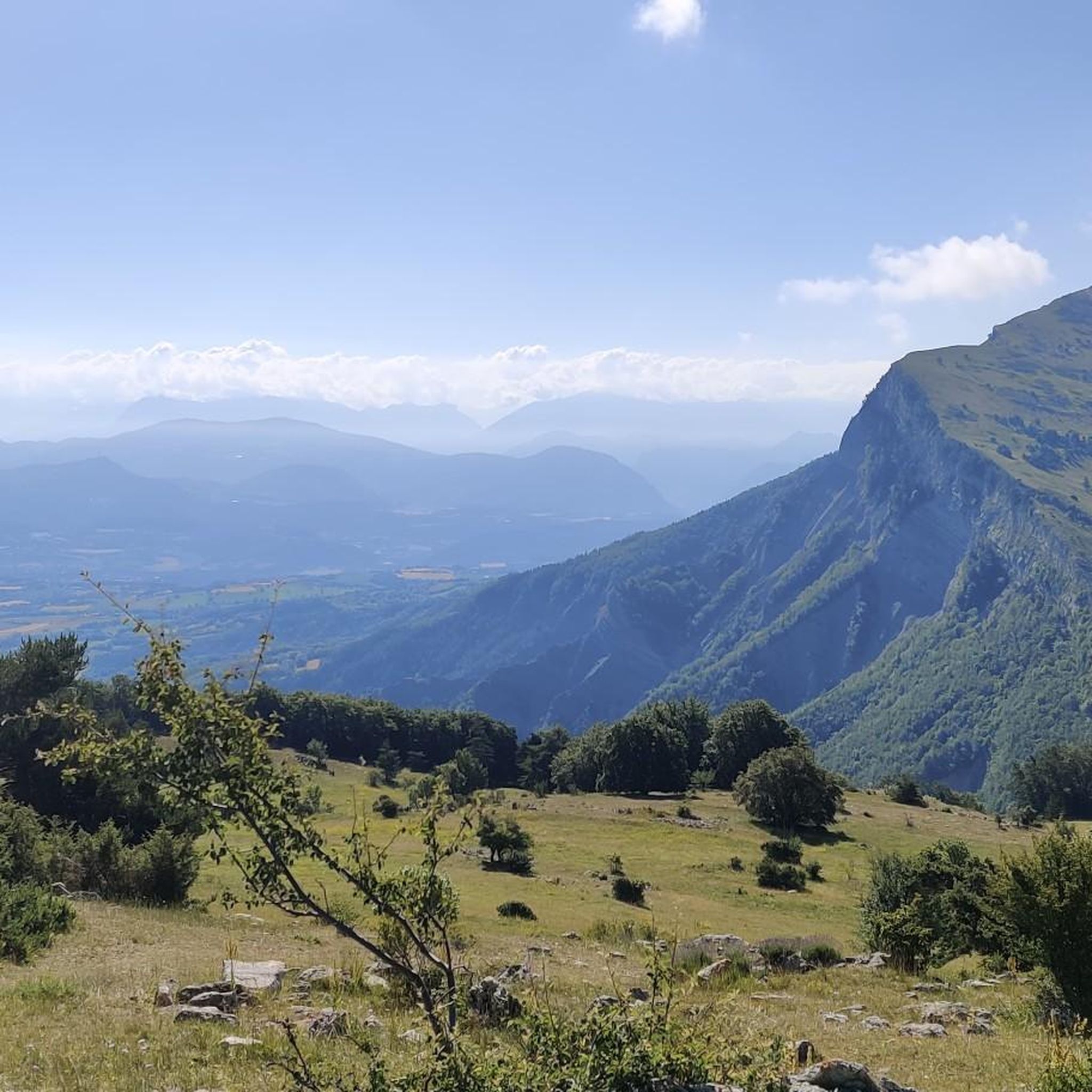
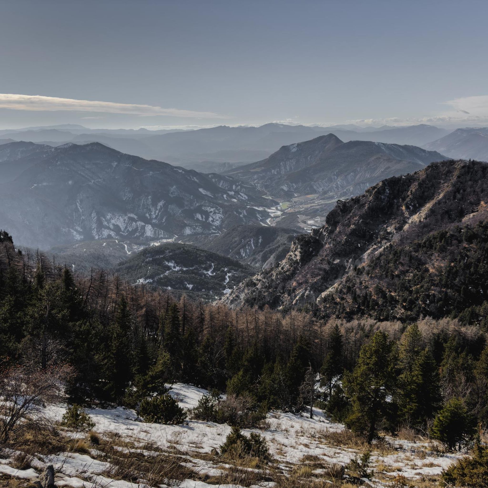
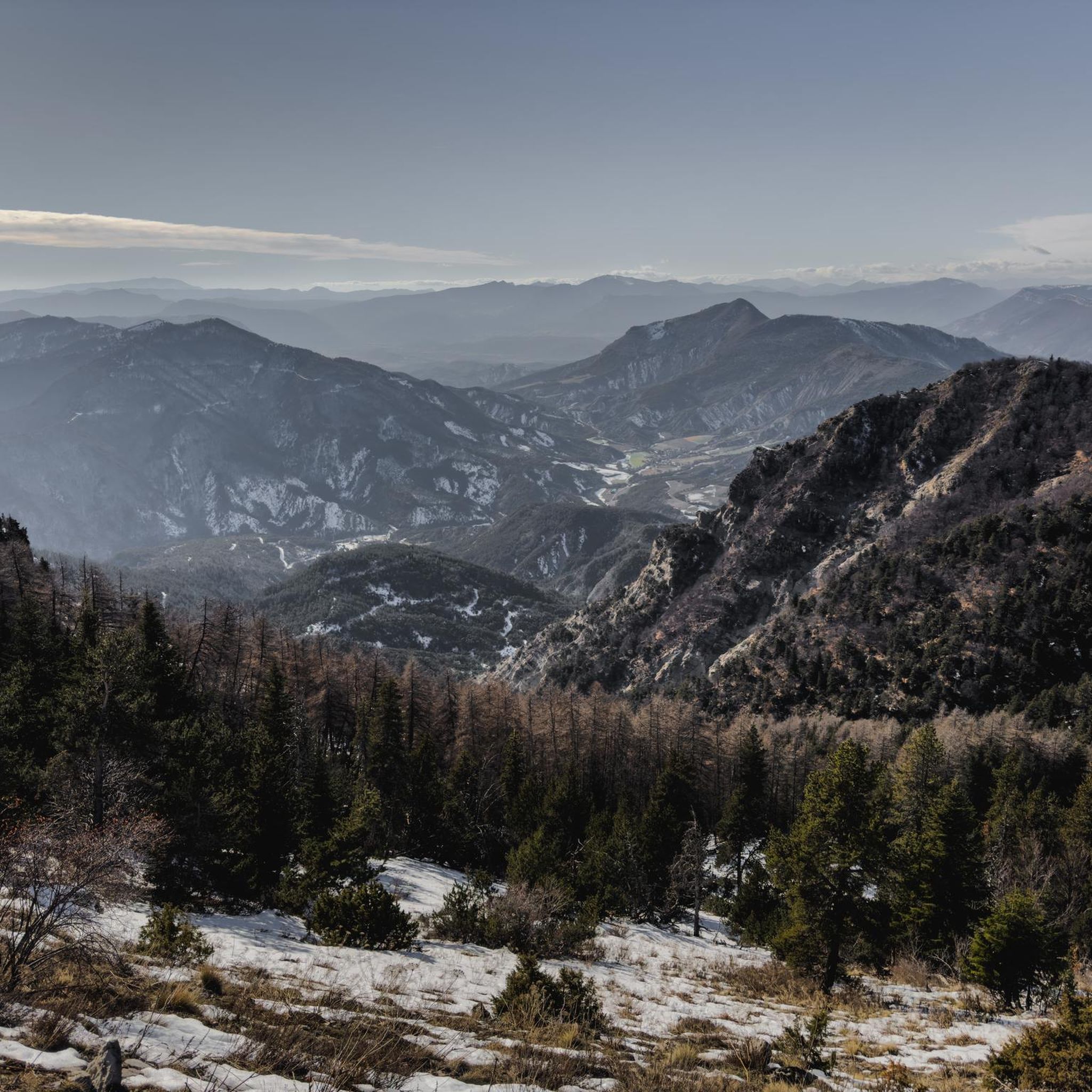
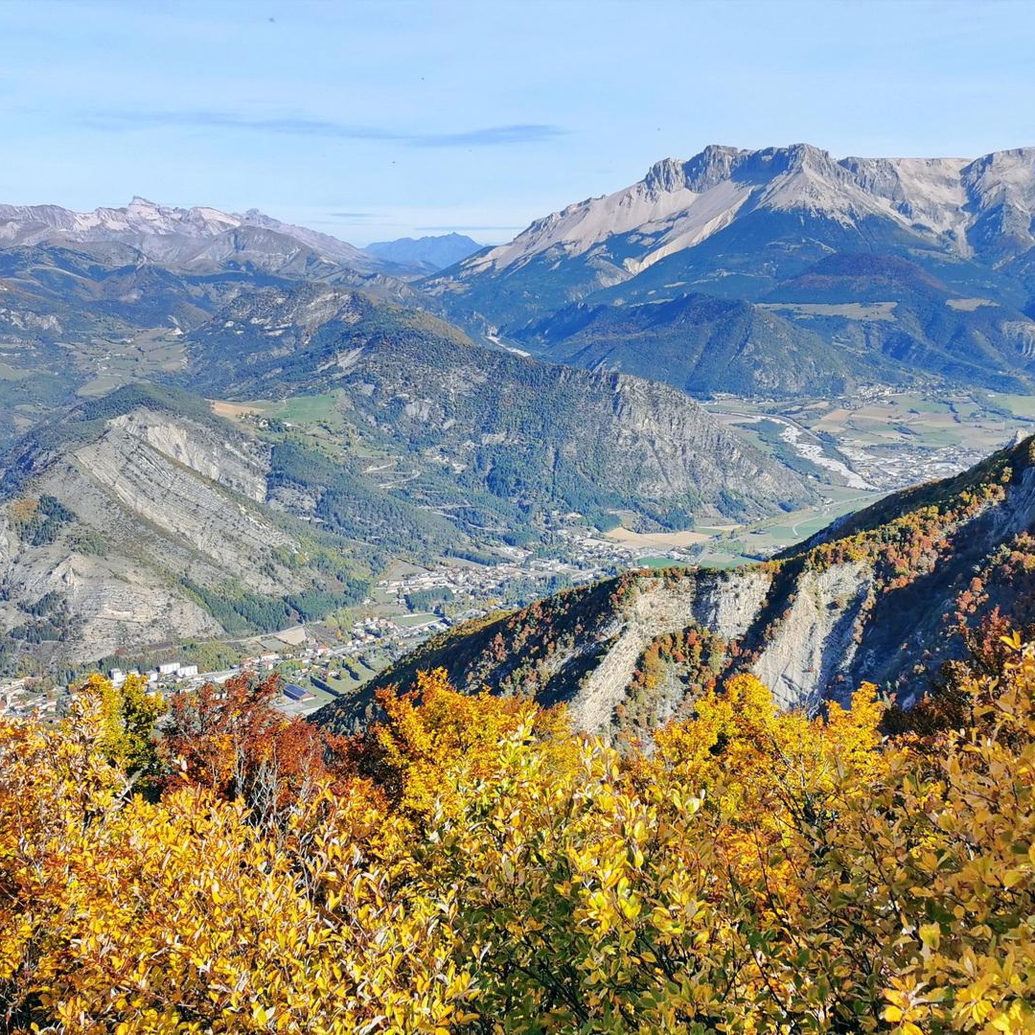

Tips from the Community

Road without traffic with stunning views
6
0
The Col du Festre is an Alpine pass located in the Dévoluy massif, in the Hautes-Alpes department, at an altitude of 1,441 meters. It connects the Buëch valley with that of the Souloise and is one of the main accesses to the Dévoluy territory.
5
0
Exceptional viewpoint for taking amazing photos
14
0
Road without traffic with perfect asphalt.
13
0
La Diga di Buesch (in French, Barrage du Buëch) is a small dam located on the Buëch river, in the department of Alpes-de-Haute-Provence / Hautes-Alpes, in southeastern France, near Laragne-Montéglin. It is best known as a landmark for cyclists and hikers in the Buëch valley.
9
0
Great for a refreshing stop.
17
0
The view of Aujour (Montagne de l’Aujour) is one of the most spectacular panoramas in the area between the Alpes-de-Haute-Provence and the Sisteron area: a long limestone ridge that dominates valleys, hills and, on clear days, opens up to the Prealps and the Durance basin.
13
0
The Col de la Bachassette is a small mountain pass located in the Southern Alps, in the Provence-Alpes-Côte d'Azur region, near the village of Oze.
17
0
Frequently Asked Questions
How many road cycling routes are available around Furmeyer?
There are over 70 road cycling routes around Furmeyer, offering a wide range of options for different skill levels. This includes 7 easy routes, 39 moderate routes, and 26 difficult routes, ensuring there's a suitable ride for every cyclist.
What kind of terrain can I expect on road cycling routes near Furmeyer?
The terrain around Furmeyer is characterized by the dramatic landscapes of the French Alps. You'll encounter majestic mountain passes, winding roads with switchbacks, and picturesque valleys. Routes vary from well-paved roads to challenging climbs, reflecting the diverse Alpine environment.
Are there any iconic mountain passes accessible from Furmeyer for road cyclists?
Yes, Furmeyer is ideally located for accessing some of the most iconic mountain passes in the French Alps, many of which are featured in the Tour de France. These include legendary climbs like the Col d'Izoard, Col de Vars, Col du Lautaret, and Col du Galibier, offering challenging ascents and panoramic views.
What do other cyclists say about road cycling in Furmeyer?
The road cycling routes around Furmeyer are highly rated by the komoot community, with an average score of 4.6 stars from over 140 reviews. More than 2,500 road cyclists have used komoot to explore the varied terrain, often praising the stunning Alpine scenery and the challenging yet rewarding climbs.
Are there any circular road cycling routes around Furmeyer?
Yes, many routes around Furmeyer are designed as loops. For example, the Bachassette Pass – Verniers Pass loop from Furmeyer is a moderate 29.6-mile path featuring climbs over two distinct passes. Another option is the Serres – Route de Sigottier loop from Veynes-Dévoluy, a 33.5-mile moderate route.
What are some notable natural features or landmarks to see along the routes?
Beyond the mountain passes, the region features serene alpine lakes and picturesque valleys. You can also find highlights such as the Espréaux Pass, the Ceuze pike, and various viewpoints offering stunning vistas, like the View from the foot of the Massif de Céüse.
Is Furmeyer part of any larger, well-known cycling networks?
Yes, Furmeyer's location in the Hautes-Alpes places it within the broader network of the renowned Route des Grandes Alpes. This route links Lake Geneva to the Mediterranean via France's major Alpine passes, offering an accessible cycling adventure through grandiose landscapes.
When is the best time of year for road cycling in Furmeyer?
The best time for road cycling in Furmeyer is typically during the warmer months, from late spring to early autumn. This period offers the most favorable weather conditions for tackling mountain passes and enjoying the Alpine scenery. Summer also features the 'Cols réservés' program, where certain mountain roads are closed to motorized traffic.
Are there any special events for cyclists in the region?
Yes, the Hautes-Alpes department implements a 'Cols réservés' (Reserved Passes) operation each summer. During these events, legendary mountain roads are closed to motorized traffic for a morning, offering cyclists a unique opportunity to ride in absolute peace and quiet, experiencing the mountains without vehicle noise.
Are there any challenging routes for experienced road cyclists?
Absolutely. The region offers 26 difficult routes for experienced cyclists. A notable challenging route is the Eiffel Bridge – Into the tunnel loop from Veynes-Dévoluy, a 47.5-mile trail with significant elevation gain, often completed in about 4 hours 17 minutes.
Can I find moderate routes that offer a good balance of challenge and scenery?
Yes, the majority of routes around Furmeyer are moderate, with 39 options available. The Col de la Haute Beaume – Hameau de Saint-Marcellin loop from Veynes-Dévoluy is a moderate 31.5-mile route that provides a balanced ride through the regional landscape, combining scenic views with manageable climbs.
Most popular attractions around Furmeyer

Get inspired with the komoot mobile app


Explore more
Browse the best Road cycling routes in other regions.
