The best road cycling routes around Montbrand
4.8
(45)
1,526
riders
32
rides
Road cycling routes around Montbrand are situated in the Southern French Alps, offering a challenging and scenic environment. The region is characterized by authentic Alpine landscapes, featuring forests, valleys, and mountain pastures. Road cyclists encounter mountain roads and passes, including notable gorges and climbs, providing significant elevation changes.
Best road cycling routes around Montbrand
- The most popular road cycling route is Miscon Pass – Miscon Pass loop from Beaurières, an 80.7 miles (129.8 km) trail that takes 6 hours…
Last updated: July 1, 2026
4.5
(4)
535
riders
130km
06:30
2,120m
2,120m
Hard road ride. Very good fitness required. Mostly well-paved surfaces and easy to ride.
4.7
(14)
292
riders
85.4km
04:08
1,120m
1,120m
Hard road ride. Very good fitness required. Some segments of this route may be unpaved and difficult to ride.

Sign up for free
5.0
(4)
102
riders
64.7km
03:22
1,190m
1,190m
Hard road ride. Very good fitness required. Mostly well-paved surfaces and easy to ride.
5.0
(7)
135
riders
61.6km
03:37
1,440m
1,440m
Hard road ride. Very good fitness required. Mostly well-paved surfaces and easy to ride.
56
riders
114km
05:46
1,860m
1,860m
Hard road ride. Very good fitness required. Mostly well-paved surfaces and easy to ride.
Get access to more routes and recommendations from other explorers.
Sign up for free
Already have an account?
Our route recommendations are based on thousands of hikes, rides, and runs completed by other people on komoot.
Start today with a free account
Your next adventure awaits.
Login or Signup
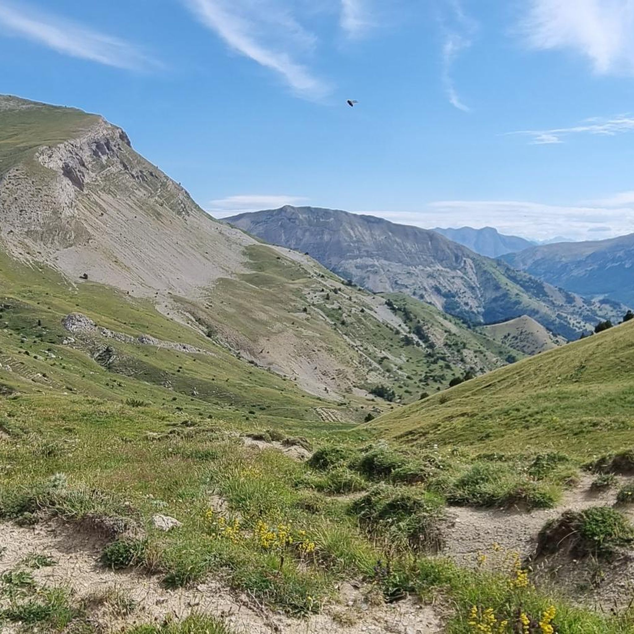
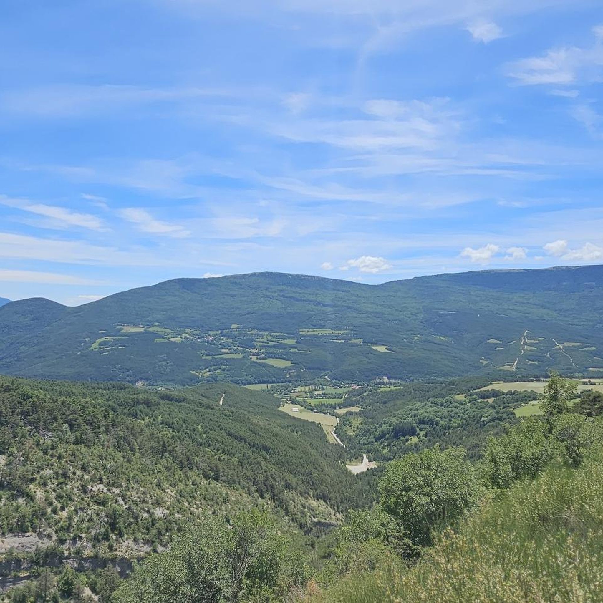
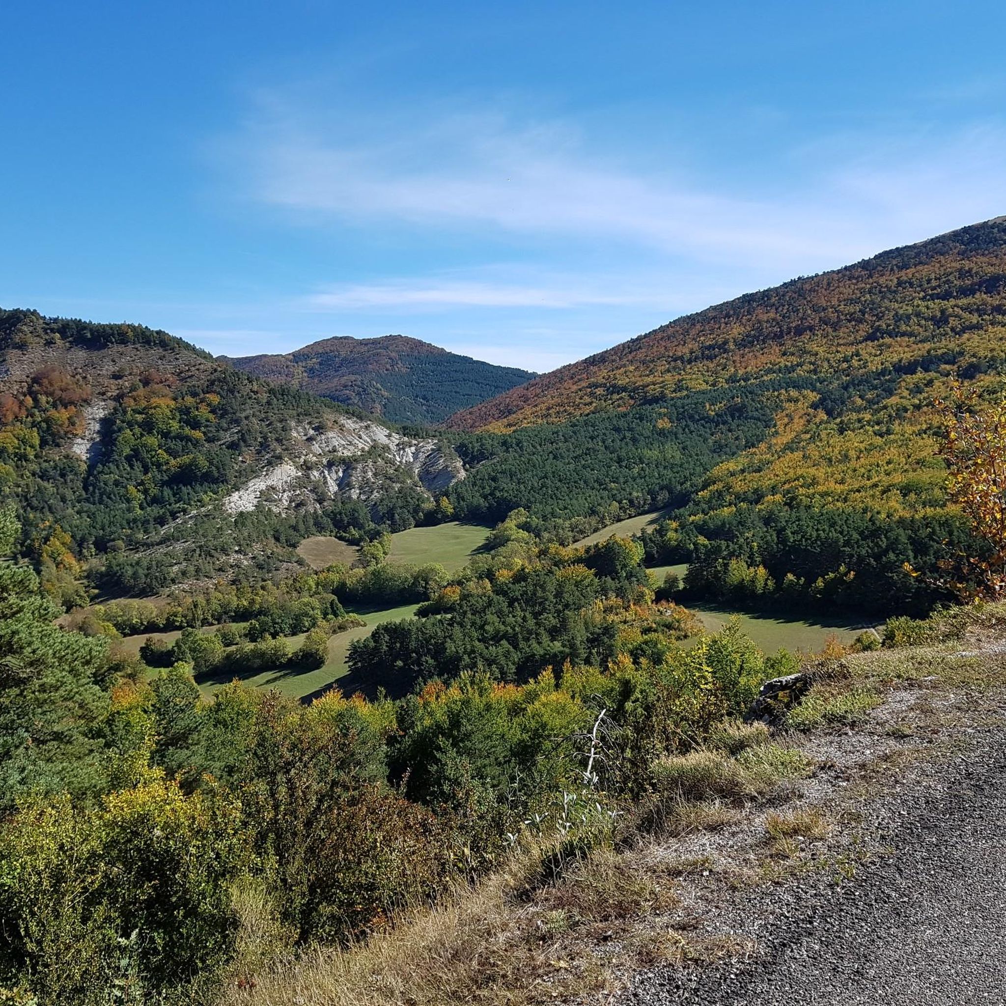
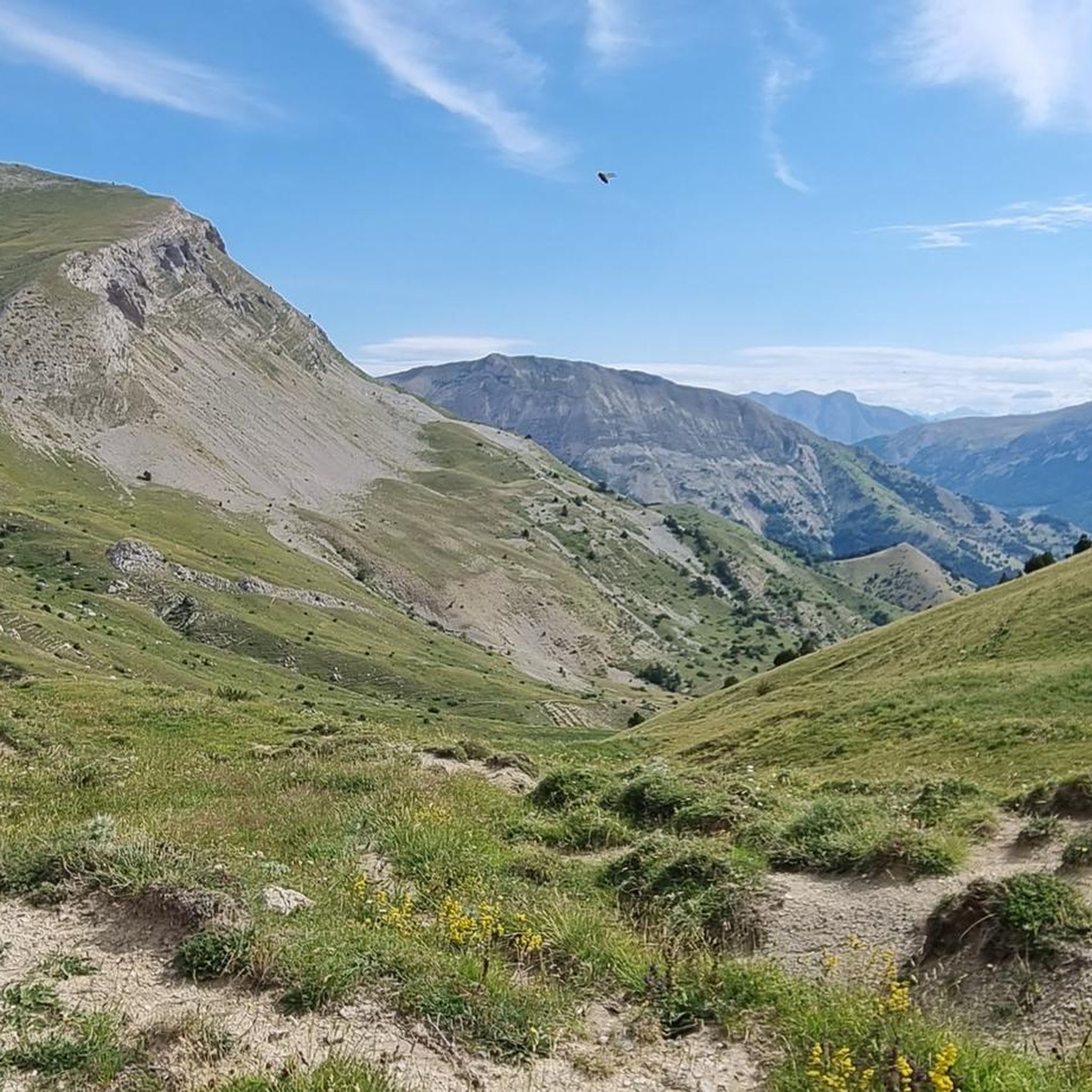
Tips from the Community

The Col d'Espreaux is a climb located in the Hautes-Alpes region. This climb is 12.2 km long, with a total elevation gain of 585 m. The Col d'Espreaux has an average gradient of 4.8%.
15
0
The water here is very good and fresh.
13
0
You can safely drink the water here.
9
0
Ascent on a secondary road, very easy slopes. Be careful of the slightly slippery asphalt.
4
0
The Col de Foureyssasse from La Saulce is a climb located in the Hautes-Alpes region. This climb is 7 km long, with a total elevation gain of 461 m. The Col de Foureyssasse from La Saulce has an average gradient of 6.6%.
8
0
Exceptional viewpoint for taking amazing photos
19
0
Road without traffic with perfect asphalt.
18
0
The Col de Carabès is a mountain pass located in the French Alps, on the border between the departments of Drôme and Hautes-Alpes.
13
0
Frequently Asked Questions
What kind of terrain can I expect on road cycling routes near Montbrand?
The region around Montbrand, nestled in the Southern French Alps, offers authentic Alpine landscapes. You'll encounter challenging mountain roads and passes, winding through forests, valleys, and mountain pastures. Notable features include the impressive Gorges des Gâts and the scenic Col de Carabès, providing significant elevation changes and breathtaking views.
How many road cycling routes are available around Montbrand?
There are over 30 road cycling routes around Montbrand, catering to various skill levels. You'll find a mix of moderate and difficult routes, with a few easier options available for those seeking a less strenuous ride.
Are there challenging climbs for experienced road cyclists in Montbrand?
Absolutely. Montbrand is known for its challenging mountain passes and significant elevation gains, making it ideal for experienced road cyclists. Routes like the Miscon Pass – Miscon Pass loop from Beaurières feature over 2,100 meters of ascent, offering a true Alpine cycling experience. The Col de Carabès is another narrow, less-traveled pass with irregular and steep sections.
What are some scenic viewpoints or natural features to look out for while cycling?
The region is rich in natural beauty. You can cycle through the dramatic Gorges des Gâts, which features tunnels and bridges along a river. Other notable points include the Col de Carabès and the D539 Mountain Road on the edge of the Vercors plateaus, both offering superb mountain scenery. The area also boasts numerous lakes and unspoiled mountains.
Are there circular road cycling routes around Montbrand?
Yes, many of the road cycling routes around Montbrand are designed as loops, allowing you to start and finish in the same location. Examples include the Lake Pelleautier – Espréaux Pass loop from Aspres-sur-Buëch and the Col de Carabès – Cabre Pass (1,180 m) loop from Aspres-sur-Buëch, providing convenient options for exploration.
What do other road cyclists enjoy most about cycling in Montbrand?
The komoot community highly rates road cycling in Montbrand, with an average score of 4.8 stars. Cyclists often praise the challenging mountain roads, the stunning Alpine scenery, and the variety of routes that traverse passes and valleys, offering an authentic and rewarding experience.
Is Montbrand suitable for family-friendly road cycling?
While many routes in Montbrand feature challenging mountain passes, there are also easier options available. For families, it's advisable to look for routes explicitly marked as 'easy' or 'moderate' and consider the elevation profiles carefully. The region's diverse landscapes offer opportunities for various outdoor activities beyond just challenging climbs.
What is the best time of year for road cycling in Montbrand?
The Southern French Alps generally offer excellent conditions for road cycling during the warmer months, typically from late spring through early autumn. This period avoids the snow and ice of winter, providing clear roads and pleasant temperatures for tackling the mountain passes.
Are there any specific passes or gorges that are a must-ride for road cyclists?
For a truly memorable experience, the Gorges des Gâts is highly recommended. It's described as one of France's most beautiful roads, featuring tunnels and bridges. The Col de Carabès also offers a classic Alpine pass challenge with superb views.
Can I find routes that combine cycling with exploring charming villages?
Yes, many routes in the Montbrand area pass through or near picturesque villages. For instance, the route through the Gorges des Gâts continues through the charming village of Glandage, allowing you to experience local culture alongside the natural beauty.
Are there any long-distance road cycling routes available?
Yes, Montbrand offers several longer routes for endurance cyclists. The Miscon Pass – Miscon Pass loop from Beaurières is an extensive 129.8 km (80.7 miles) trail, while the Gorges des Gats – Claps Rock Chaos loop from Aspres-sur-Buëch covers over 114 km (71 miles), providing significant distances for challenging rides.
Most popular attractions around Montbrand

Get inspired with the komoot mobile app


Explore more
Browse the best Road cycling routes in other regions.
