The best running trails around Montgardin
4.3
(50)
2,604
runners
229
runs
Jogging routes around Montgardin offer diverse terrain within the Southern French Alps, characterized by varied landscapes of the Gapençais region. Runners can explore paths ranging from soft hillside valleys and forests to routes along the Durance River and near Lake Serre-Ponçon. The area's altitude, spanning from 772m to 1420m, provides a mix of gentle and inclined running experiences.
Best jogging routes around Montgardin
- The most popular jogging route is Plage des Trémouilles loop from Chorges, a 7.2 miles (11.5…
Last updated: June 25, 2026
25
runners
11.3km
01:12
130m
130m
Moderate run. Good fitness required. Mostly paved surfaces. Suitable for all skill levels.
5.0
(1)
88
runners
21.1km
02:34
480m
480m
Hard run. Very good fitness required. Mostly paved surfaces. Suitable for all skill levels.

Sign up for free
13
runners
34.9km
05:03
1,730m
1,740m
Hard run. Very good fitness required. Mostly accessible paths. Some sure footedness required.
8
runners
9.45km
01:01
150m
150m
Moderate run. Good fitness required. Mostly paved surfaces. Suitable for all skill levels.
10
runners
12.1km
01:28
310m
310m
Hard run. Very good fitness required. Mostly accessible paths. Some sure footedness required.
Get access to more routes and recommendations from other explorers.
Sign up for free
Already have an account?
Our route recommendations are based on thousands of hikes, rides, and runs completed by other people on komoot.
Start today with a free account
Your next adventure awaits.
Login or Signup
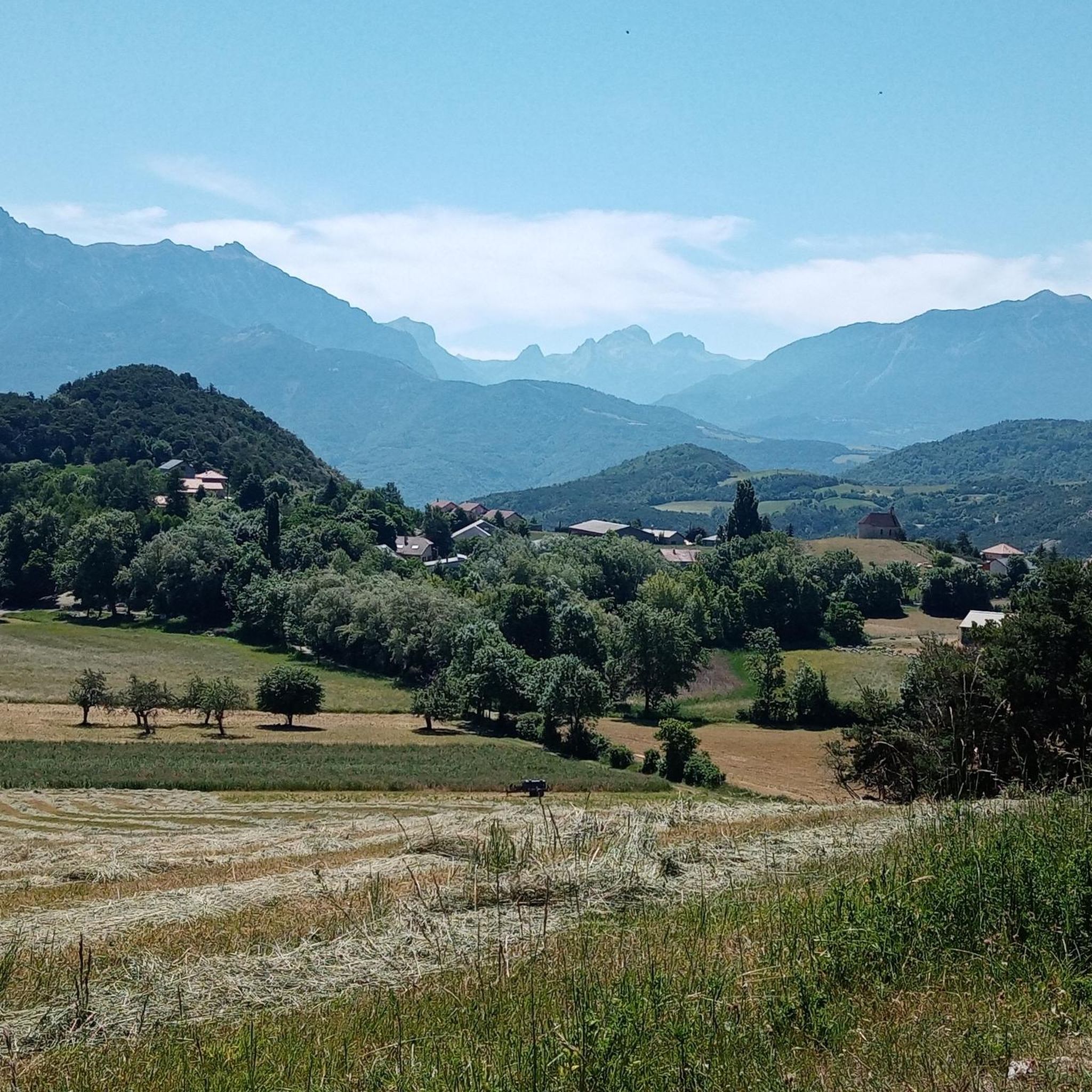
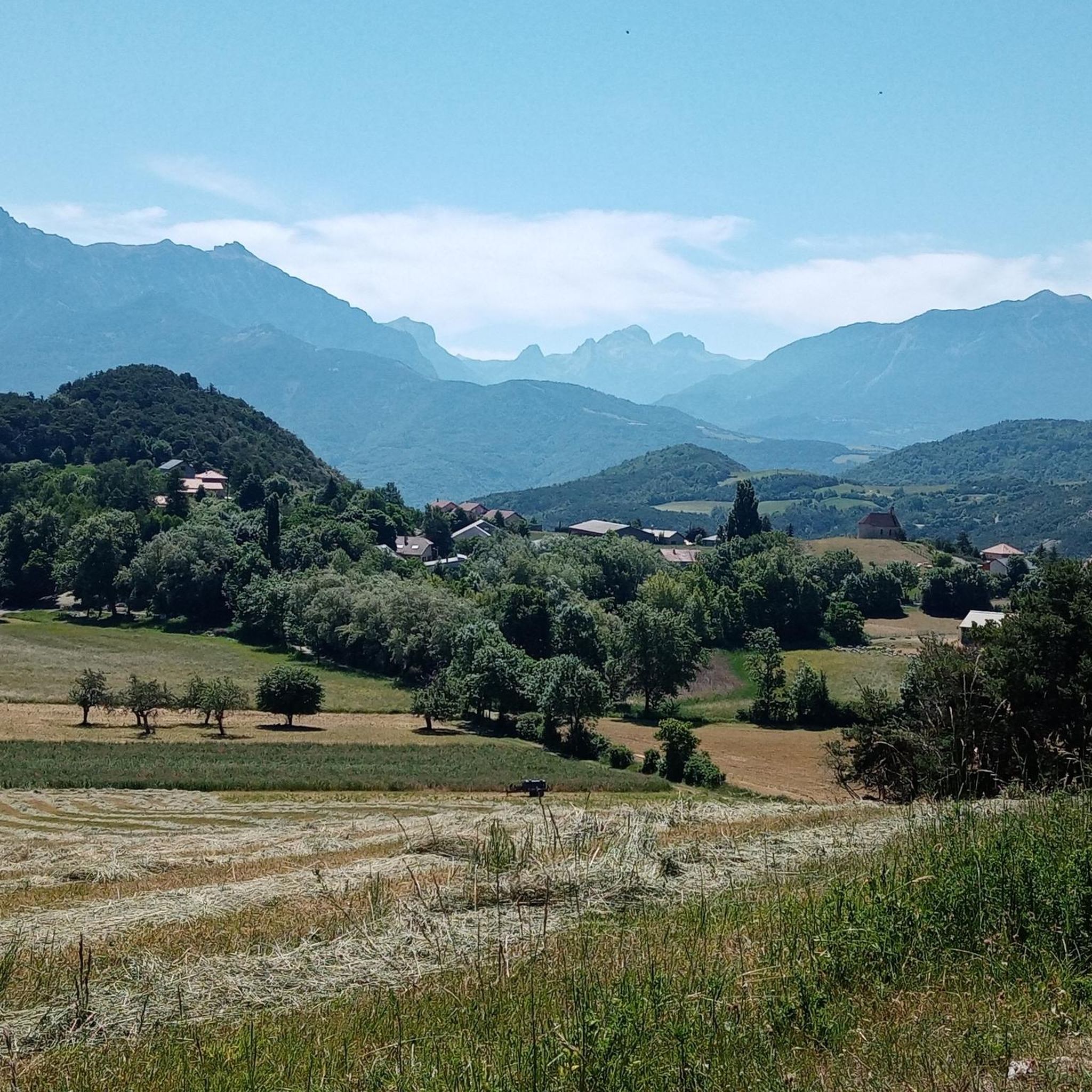
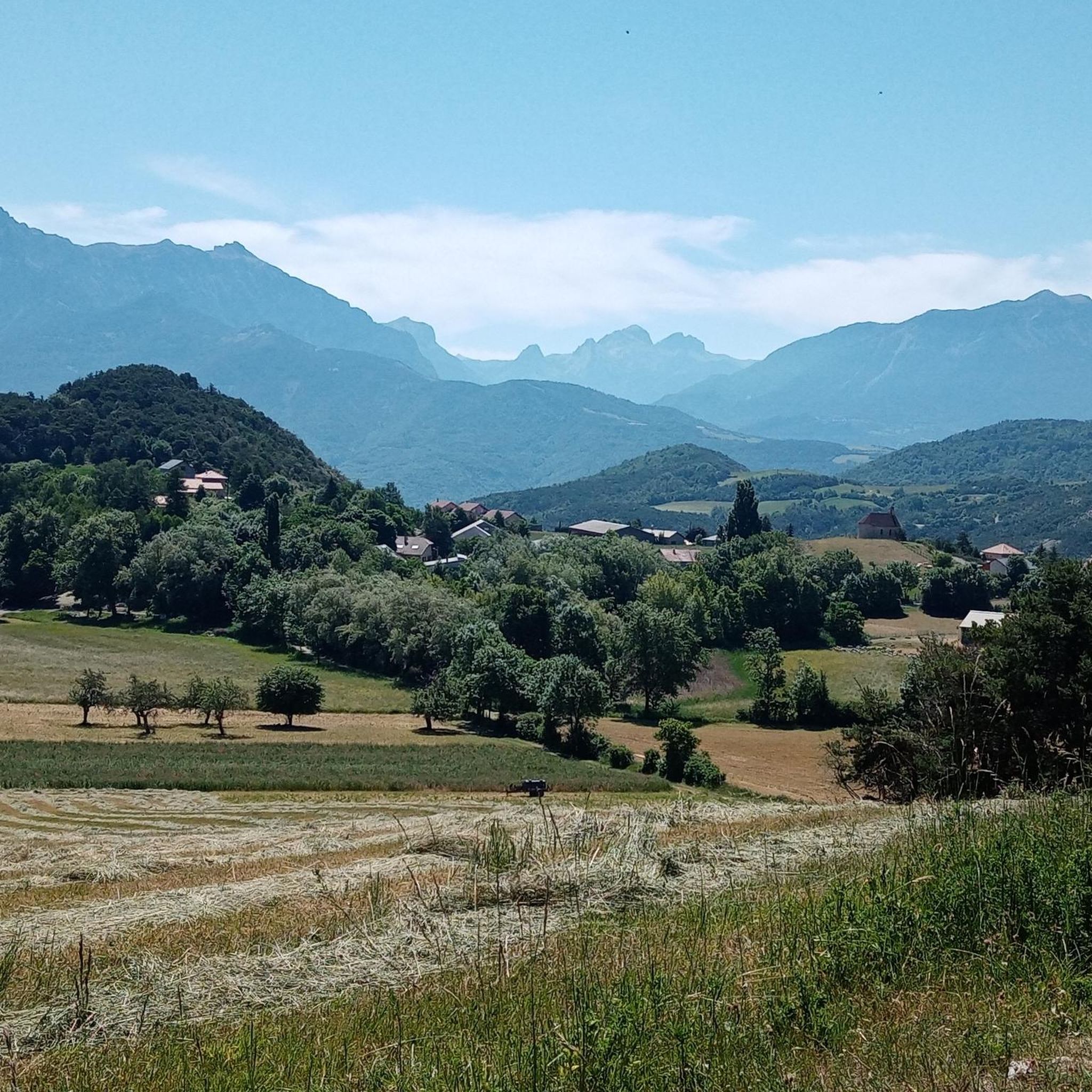
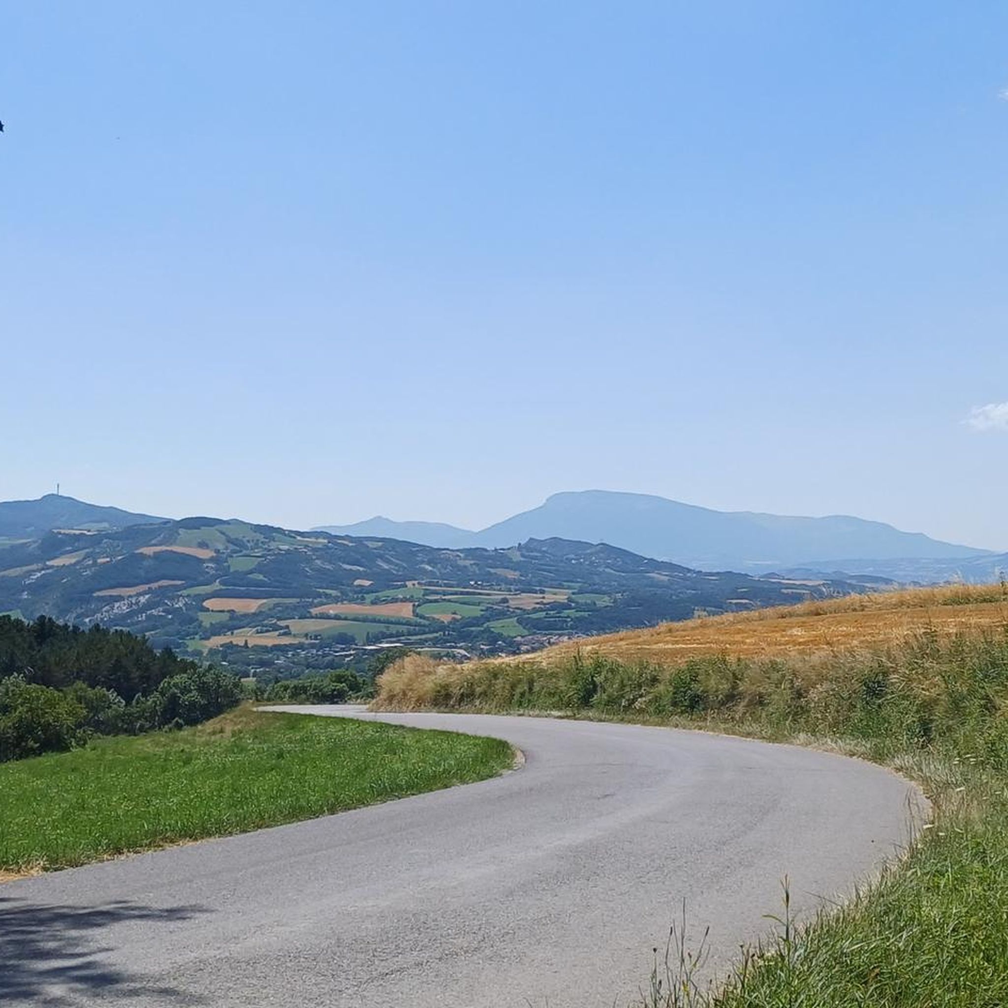

Tips from the Community

The Chanteloube viaduct, located on the Serre-Ponçon lake, is an unusual place. Built for a railway line that was never completed, this partially submerged viaduct offers a fascinating spectacle, with its arches reflected in the turquoise waters of the lake.
1
0

Very small town with very narrow streets, it is worth stopping to visit.
15
0

The Chanteloube viaduct, located in the town of Chorges, emerges like a silent vestige of a bygone era. Started in the early 1900s, it was initially intended to connect Chorges to Barcelonnette by rail. The project was finally abandoned in the 1930s. Each year, in the spring, as the lake swells from melting snow and seasonal rains, the viaduct disappears beneath the waters. However, in winter, when the lake level drops, the viaduct emerges from its aquatic lethargy, revealing its majestic arches and solid pillars.
0
1

View of the Serre-Ponçon lake, a magnificent reserve lake in the Hautes-Alpes. Beautiful slopes from Chorges
0
0

The commune of Chorges sits above the Lac de Serre-Ponçon below. It is located at an altitude of 860m. From there you can either descend to the lake towards Embrun or go into the mountains towards Gap.
2
0


A magical place, dunes, singles and magnificent views of the mountains and of course the lake of greenhouse ponçon 🙏
0
0

We also recommend two rustic boulangeries right next to the Bar de France, which are well worth a visit
1
0
Frequently Asked Questions
How many running routes are available around Montgardin?
Montgardin and its surrounding area offer a wide selection of running routes, with over 220 trails listed on komoot. These routes cater to various fitness levels, from easy jogs to more challenging ascents through the Southern French Alps.
Are there easy running trails suitable for beginners or families in Montgardin?
Yes, Montgardin has several easy running trails perfect for beginners or families. The region features soft hillside valleys and paths with less elevation gain. For example, the Running loop from Montgardin is a moderate 3.9-mile (6.3 km) trail that winds through picturesque valleys and is often completed in under an hour.
What kind of terrain can I expect on jogging routes in Montgardin?
Jogging routes in Montgardin offer incredibly diverse terrain. You can expect everything from gentle paths through flowery meadows and soft hillside valleys to more challenging ascents in the higher parts of the Gapençais region. Many routes also feature scenic sections along the Durance River or near the vast Lake Serre-Ponçon, providing varied surfaces and beautiful backdrops.
Are there any circular running routes in the Montgardin area?
Yes, many of the running routes around Montgardin are circular, allowing you to start and finish at the same point. A popular example is the Running loop from La Bâtie-Neuve, a moderate 5.9-mile (9.4 km) path that takes you through varied landscapes of meadows and valleys.
What are some notable natural features or landmarks I can see while jogging near Montgardin?
The Montgardin area is rich in natural beauty. While jogging, you might encounter stunning features like the Chabrières Needles, the serene Lac de Saint-Apollinaire, or the dramatic Gorges de la Blanche. The unique geological formations known as Demoiselles Coiffées are also nearby, offering fascinating sights.
Is Montgardin suitable for dog-friendly running?
Montgardin's natural setting with numerous trails through forests and open spaces makes it generally suitable for running with dogs. However, it's always recommended to check local regulations for specific trails, especially those passing through protected areas or private land, and to keep your dog on a leash where required.
What is the best time of year to go running in Montgardin?
Montgardin benefits from approximately 300 days of sunshine a year, making it an excellent destination for running for much of the year. Spring and autumn offer pleasant temperatures and vibrant scenery. Summer is also popular, but it's advisable to run early in the morning or late in the afternoon to avoid the midday heat. Winter running is possible, especially on lower elevation trails, but higher routes may require appropriate gear for snow and ice.
Are there any routes that offer views of Lake Serre-Ponçon?
Absolutely! Lake Serre-Ponçon, one of Europe's largest artificial lakes, provides a stunning backdrop for several running routes. The Plage des Trémouilles loop from Chorges is a popular moderate trail that offers scenic views near the lake.
How long do running trails typically take to complete in Montgardin?
Running trail durations in Montgardin vary significantly based on length and difficulty. Shorter, easier routes like the Running loop from Montgardin (3.9 miles / 6.3 km) can be completed in about 43 minutes. Longer, more challenging trails, such as the Mont Colombis loop from Chorges (over 21 miles / 34 km with significant elevation), can take several hours, requiring good fitness and preparation.
What do other runners enjoy most about the trails in Montgardin?
The running trails in Montgardin are highly rated by the komoot community, with an average score of 4.3 stars from over 50 reviews. Runners frequently praise the diverse and preserved landscapes of the Southern French Alps, the variety of terrain from gentle valleys to challenging ascents, and the scenic paths along water bodies like the Durance River and Lake Serre-Ponçon. The clear skies and abundant sunshine are also often highlighted.
Are there running routes with good parking access in Montgardin?
Many running routes in the Montgardin area are accessible by car and offer convenient parking options at their starting points, particularly in and around villages or popular recreational areas. It's always a good idea to check the specific route details on komoot for parking information before you head out.
Can I find running routes that are less crowded or considered 'hidden gems'?
While popular routes like those near Lake Serre-Ponçon can attract more visitors, the vast network of over 220 trails in the Montgardin region means there are plenty of opportunities to discover quieter paths. Exploring trails slightly further from main attractions or opting for less-trafficked times of day can lead you to serene, less crowded running experiences through the region's untouched natural spaces.
Most popular routes around Montgardin
Most popular attractions around Montgardin

Get inspired with the komoot mobile app


Explore more
Browse the best Running Trails & Routes in other regions.
