The best road cycling routes around Guipronvel
4.4
(163)
4,707
riders
282
rides
Road cycling routes around Guipronvel are situated in the Finistère department of Brittany, France, a region known for its diverse landscapes and extensive network of secondary roads. The area features a mix of coastal paths, woodlands, and undulating inland terrain, providing varied experiences for cyclists. Finistère's coastline offers wild coves and rocky outcrops, while inland routes traverse forests and canals. The region's well-marked routes cater to various levels of road cyclists.
Best road cycling routes around Guipronvel
- The most popular…
Last updated: July 2, 2026
4.7
(6)
101
riders
88.7km
03:48
700m
700m
Moderate road ride. Good fitness required. Mostly well-paved surfaces and easy to ride.
5.0
(1)
51
riders
45.2km
01:59
300m
300m
Moderate road ride. Good fitness required. Mostly well-paved surfaces and easy to ride.

Sign up for free
33
riders
32.9km
01:30
200m
200m
Easy road ride. Great for any fitness level. Mostly well-paved surfaces and easy to ride.
56
riders
80.6km
03:37
620m
620m
Moderate road ride. Good fitness required. Some segments of this route may be unpaved and difficult to ride.
42
riders
83.2km
03:37
510m
510m
Moderate road ride. Good fitness required. Mostly well-paved surfaces and easy to ride.
Get access to more routes and recommendations from other explorers.
Sign up for free
Already have an account?
Our route recommendations are based on thousands of hikes, rides, and runs completed by other people on komoot.
Start today with a free account
Your next adventure awaits.
Login or Signup


Tips from the Community

Phare de Saint-Mathieu is the name of a lighthouse in the village of Saint-Mathieu on the Saint-Mathieu Point in Plougonvelin in the Finistère department. It was built on the site of the former Saint-Mathieu Abbey. Its theoretical range is 29 nautical miles, which is approximately 55 kilometers. Together with the Kermorvan lighthouse, it indicates the Passage du Four (Chenal du Four), an important north-south passage from or to the Iroise Sea, which runs between the mainland and the island of Ouessant, thus saving about two days of travel time. In conjunction with the Portzic lighthouse, it illuminates the entrance to the Bay of Brest. The lighthouse has been listed as a French Historic Monument since May 23, 2011. It is open to the public. Just west of the lighthouse is the Sémaphore de la Pointe Saint-Mathieu.
1
0

Viewpoint with historic chapel.
0
0

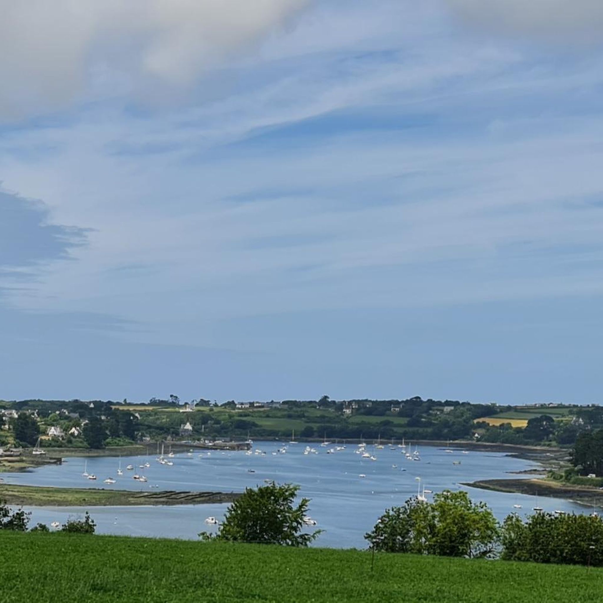
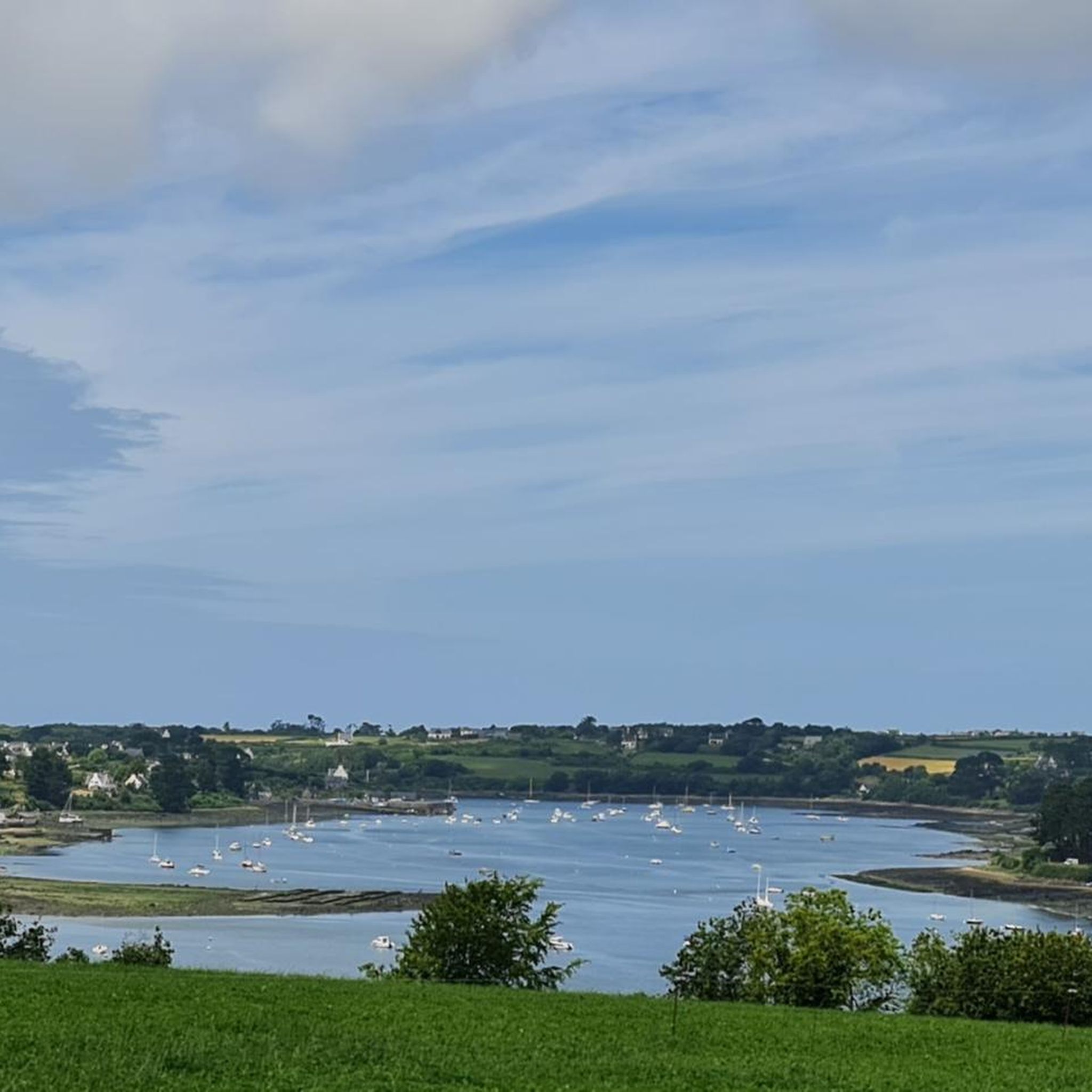
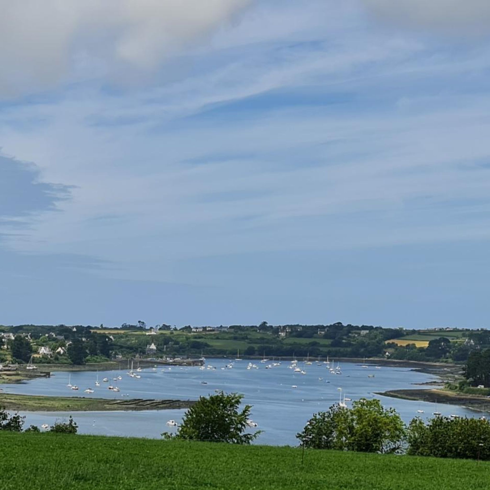
Very nice view of the Aber Wrac'h but the V45 passes very quickly on this section.
0
0

great view, absolute travel guide picture
0
0
Saint-Goulven Church is located in Goulven in Finistère, Brittany (France). It is situated within a parish enclosure. The church is dedicated to Saint Goulven and dates from the 16th century. The church is Gothic in style with a Renaissance bell tower. The spire is exquisitely sculpted. It is listed as a historical monument by the list of 186; the cemetery surrounding the church was listed in 1946. https://fr.wikipedia.org/wiki/%C3%89glise_Saint-Goulven_de_Goulven
0
0

Absolutely beautiful view. Definitely worth making a short detour if it’s on route!
0
1
Frequently Asked Questions
How many road cycling routes are available around Guipronvel?
There are over 270 road cycling routes around Guipronvel, offering a wide variety of options for cyclists. These routes are highly rated by the komoot community, with an average score of 4.2 stars from over 190 reviews.
What is the best time of year for road cycling in Guipronvel?
Brittany generally offers pleasant cycling conditions from spring through autumn. The region's diverse landscapes, from coastal paths to inland forests, can be enjoyed across these seasons. Coastal routes are particularly scenic in warmer months, while inland areas provide cooler, shaded rides during summer.
What kind of terrain and elevation can I expect on road cycling routes near Guipronvel?
Road cycling around Guipronvel features diverse terrain. You'll find smooth, well-marked routes ranging from coastal paths with breathtaking sea views to inland routes winding through forests and along canals. While much of Brittany's cycling is gentle, some areas, particularly inland, present more challenging, hilly terrain, such as those found towards the Montagnes Noires. Routes like the Nice view of the canal – Beautiful Viewpoint loop from Milizac-Guipronvel can have over 600 meters of elevation gain.
Are there road cycling routes suitable for beginners or families in Guipronvel?
Yes, Guipronvel offers routes suitable for various ability levels, including easy options. For instance, the Müller-Keller-Haus – Chapelle de Bodonou loop from Milizac-Guipronvel is an easy route covering about 27 km with moderate elevation, making it a good choice for those seeking a less strenuous ride or cycling with family.
What natural features or landmarks can I expect to see on road cycling routes around Guipronvel?
The region boasts diverse coastlines with wild coves and rocky outcrops, as well as sumptuous woods and vast forests inland. You might encounter highlights such as the Aber wrac’h, the historic Kerloas Menhir, or the serene Etang bodonou. Coastal routes often lead through picturesque fishing ports, while inland rides can pass by charming villages and historical sites like the Chapel of Troménec.
Are there any long-distance road cycling routes available near Guipronvel?
Yes, the broader Finistère region, encompassing Guipronvel, is part of major cycling networks. The Vélodyssée (EuroVelo 1) traverses Brittany, offering over 1,300 km of cycling, with sections accessible within Finistère. While not directly through Guipronvel, these long-distance routes provide extensive options for extended rides. For local long-distance loops, consider routes like the Nice view of the canal – Beautiful Viewpoint loop from Milizac-Guipronvel, which is over 73 km long.
Are there circular road cycling routes around Guipronvel?
Many of the road cycling routes around Guipronvel are designed as loops, allowing you to start and end in the same location. Examples include the popular Saint Jaoua Chapel – Aber-Benoît loop from Milizac-Guipronvel and the scenic Port of Lanildut – Presqu'île Saint-Laurent loop from Milizac-Guipronvel, both offering diverse scenery.
Where can I find parking for road cycling routes in Guipronvel?
While specific parking areas for each route are not detailed, Guipronvel and nearby towns like Milizac-Guipronvel typically offer public parking facilities. It's advisable to check local maps or use navigation apps to locate convenient parking near your chosen starting point.
What do other road cyclists enjoy the most about road cycling in Guipronvel?
The area is highly rated by the komoot community, with an average score of 4.2 stars. Reviewers often praise the region's diverse coastlines, the extensive network of quiet secondary roads, and the mix of challenging and leisurely rides through scenic forests and charming countryside. The variety of routes catering to different ability levels is also frequently highlighted.
Are there challenging road cycling routes in the Guipronvel area?
Yes, while many routes are moderate, some offer more challenging ascents, particularly in the inland areas. The Finistère region includes undulating landscapes and areas like the Montagnes Noires, which provide more demanding terrain for experienced road cyclists. Routes with higher elevation gains, such as the Nice view of the canal – Beautiful Viewpoint loop from Milizac-Guipronvel, offer a good challenge.
Can I find places to eat or stay near the cycling routes in Guipronvel?
Guipronvel and the surrounding villages in Finistère offer various options for accommodation and dining. You'll find charming local restaurants and cafes, especially in the picturesque towns and fishing ports along the coast or in the heart of the countryside. It's recommended to check local listings for specific establishments along your chosen route.
Most popular routes around Guipronvel
Most popular attractions around Guipronvel

Get inspired with the komoot mobile app


Explore more
Browse the best Road cycling routes in other regions.
