The best walks and hikes around Bischweiler
4.3
(916)
4,970
hikers
356
hikes
Hiking around Bischweiler offers access to a network of trails characterized by a predominantly flat landscape. The region features numerous ponds and small lakes, providing a gentle terrain for outdoor activities. Elevation changes are minimal across most routes, making the area suitable for accessible walks. The trails often traverse open fields and connect small communities.
Best hiking trails around Bischweiler
- The most popular hiking route is Étang du Balstein loop from Herrlisheim, a 3.0 miles (4.8 km) trail that…
Last updated: July 5, 2026
2.0
(1)
20
hikers
4.79km
01:13
10m
10m
Easy hike. Great for any fitness level. Easily-accessible paths. Suitable for all skill levels.
15
hikers
8.33km
02:07
20m
20m
Moderate hike. Good fitness required. Easily-accessible paths. Suitable for all skill levels.

Sign up for free
4.7
(3)
21
hikers
Moderate hike. Good fitness required. Easily-accessible paths. Suitable for all skill levels.
4.0
(1)
7
hikers
Easy hike. Great for any fitness level. Easily-accessible paths. Suitable for all skill levels.
4.0
(4)
9
hikers
10.4km
02:40
40m
40m
Moderate hike. Good fitness required. Easily-accessible paths. Suitable for all skill levels.
Get access to more routes and recommendations from other explorers.
Sign up for free
Already have an account?
Our route recommendations are based on thousands of hikes, rides, and runs completed by other people on komoot.
Start today with a free account
Your next adventure awaits.
Login or Signup
Tips from the Community

In front of the church is this red sandstone stone on which the distance to the partner community of Jugenheim Rheinhessen is engraved.
2
0
Construction of St. Michael's Church was completed in 1623. The Renaissance pulpit, dating from 1672, and the organ, built in 1791 by Michel Stiehr, an organ builder in Seltz, are listed in the supplementary list of historical monuments. Note: A number of Fleckenstein gravestones have been found and are visible near the church. Roppenheim and its surroundings were long owned by the Lords of Fleckenstein, who owned a castle and a hunting lodge. Traces of this can still be seen in the Church of St. Michel, its rectory, and the half-timbered tithe barn.
2
0
On the town hall square stands an obelisk made of red sandstone in memory of the dead of the two world wars
2
0

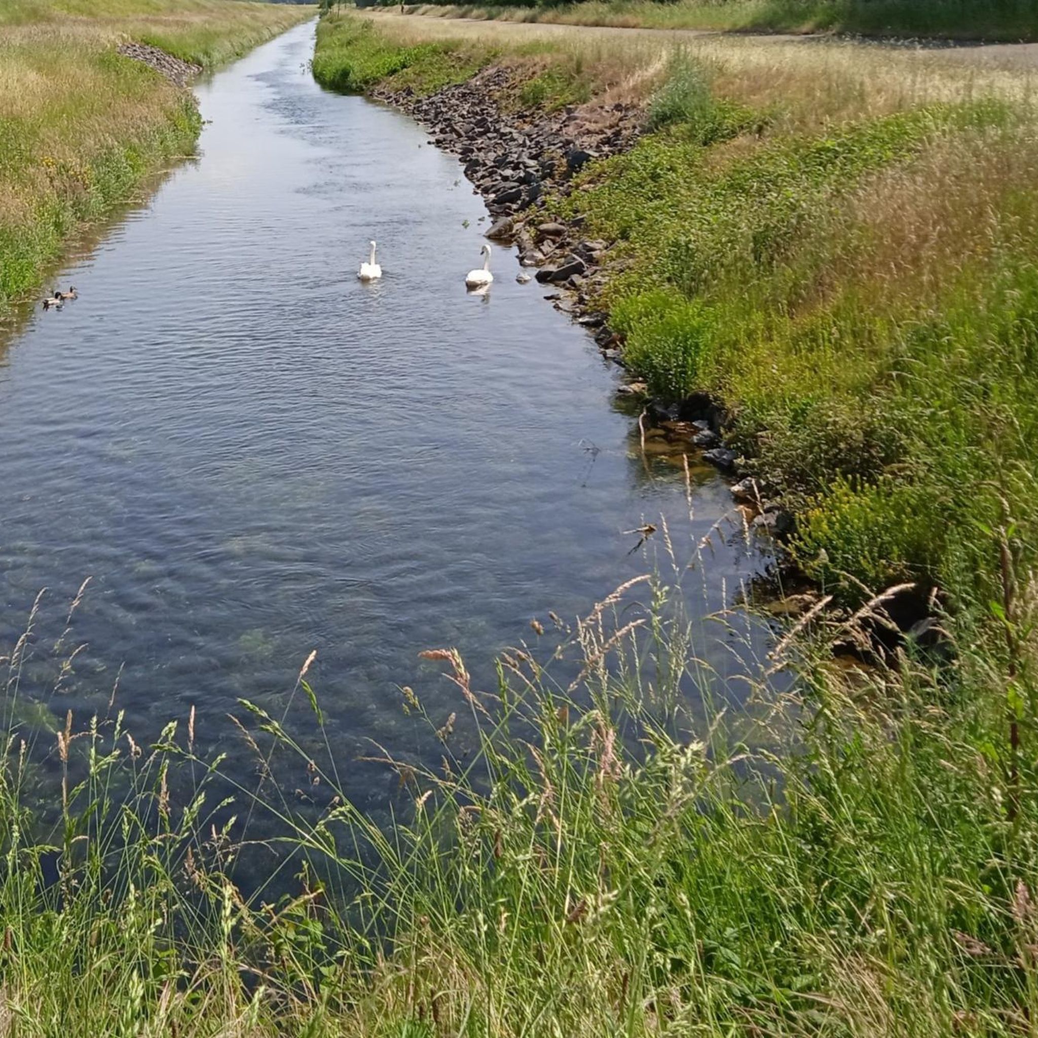
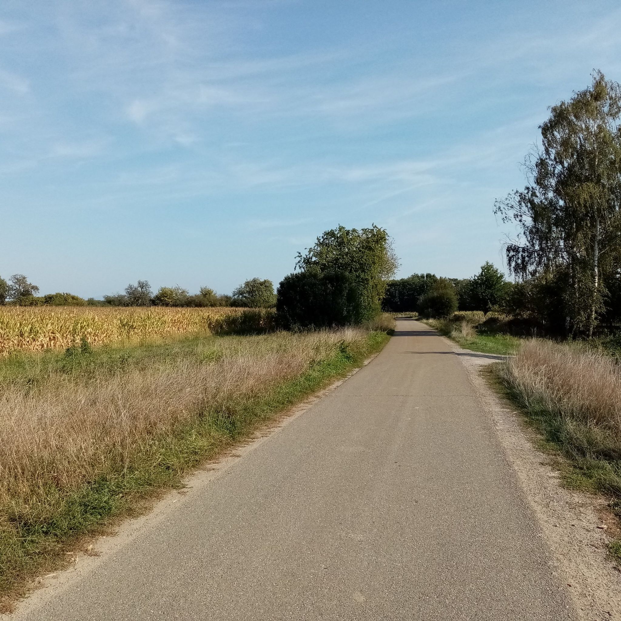
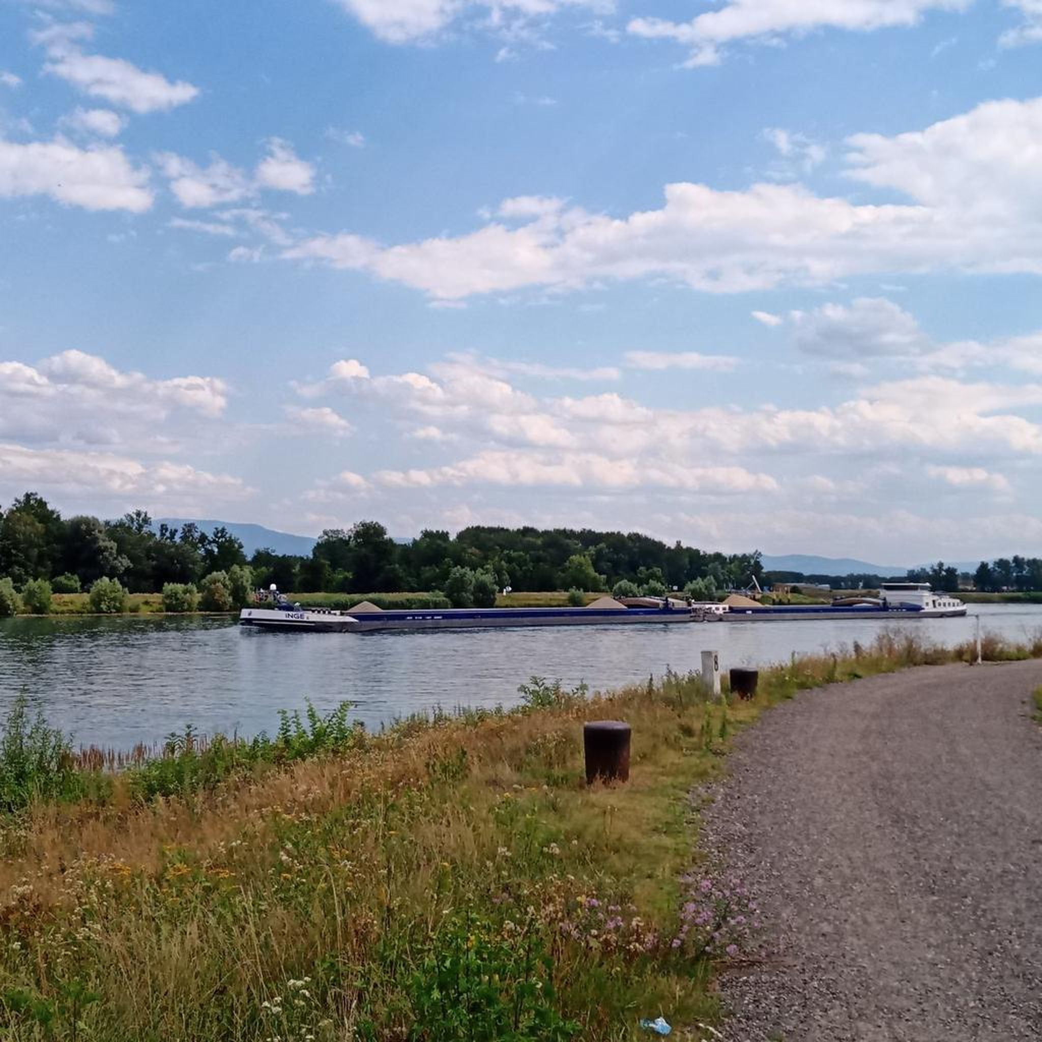
Around Herrlisheim, view of the Rhine plain. The paths are flat and also suitable for strollers or barrier-free.
0
0
Small local recreation area near Herrlisheim
0
0

Le Carmel de Marienthal, also known as Le Carmel du Sacré Coeur is located in Haguenau, a commune in the Bas-Rhin department of the Grand Est region of France.
2
0

Beautiful Way of the Cross in the park, opposite the basilica in Marienthal.
1
0

This statue, inspired by a painting by Raphael that can be seen in the Louvre in Paris, represents the Archangel Saint Michael slaying the dragon. On the base we can read that it comes from the Tusey foundry in Meuse.
2
1
Frequently Asked Questions
How many hiking trails are available around Bischweiler?
Bischweiler offers a wide selection of over 300 hiking routes. The majority are easy, with more than 230 trails suitable for casual walkers, alongside over 100 moderate options and a few more challenging paths.
Are there many easy hiking trails suitable for beginners or casual walkers in Bischweiler?
Yes, the region is ideal for easy walks, with over 230 routes classified as easy. The landscape is predominantly flat, featuring minimal elevation changes, making it perfect for accessible and relaxed outdoor activities. Many trails traverse open fields and connect small communities.
Are there any circular hiking routes in the Bischweiler area?
Yes, many of the trails around Bischweiler are designed as loops. For example, the Lake district near Herrlisheim – Étang du Balstein loop from Herrlisheim offers a moderate 12.1 km circular hike through the scenic lake district.
What kind of natural sights can I expect to see along the hiking trails?
The hiking trails around Bischweiler often feature numerous ponds and small lakes, providing tranquil scenery. You can also explore areas like the Réserve Biologique Dirigée de Rossmoerder or the Rheinauewald Diersheim, which offer glimpses into the local forest ecosystems.
Are there any specific landmarks or attractions to look out for while hiking?
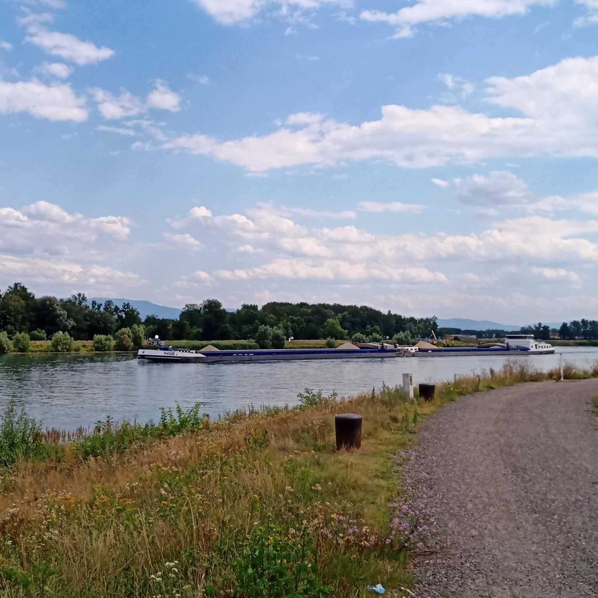
Beyond the natural beauty, you might encounter interesting man-made structures. The Bac Drusus Ferry (Drusenheim–Greffern Crossing) and the Rheinau–Gambsheim Barrage are notable points of interest that can be seen near some routes, showcasing the region's connection to the Rhine.
What do other hikers enjoy most about hiking in Bischweiler?
The area is highly rated by the komoot community, with an average score of 4.4 stars from over 800 reviews. Hikers often praise the peaceful, flat terrain, which makes for relaxing walks, and the charming scenery around the many ponds and open fields.
Are there any longer or more challenging routes for experienced hikers?
While the region is known for its gentle terrain, there are a few longer routes available. For instance, the Jugenheim 166 km – Church of St. Michael loop from Oberhoffen-sur-Moder is a moderate 8.3 km trail that offers a slightly longer experience through the area.
Is it possible to access hiking trails in Bischweiler using public transport?
Bischweiler is well-connected by regional public transport. Many trailheads are accessible from local train stations or bus stops within Bischweiler and surrounding communities, making it convenient to start your hike without a car.
Are the hiking trails around Bischweiler suitable for families with children?
Absolutely. The predominantly flat landscape and numerous easy routes make Bischweiler an excellent choice for family-friendly hikes. Many trails are short and gentle, perfect for children, and offer pleasant scenery around ponds and open spaces.
Can I bring my dog on the hiking trails in Bischweiler?
Yes, most hiking trails in the Bischweiler area are dog-friendly. The open fields and natural paths provide ample space for dogs to enjoy the outdoors. Please ensure your dog is kept on a leash where required, especially near wildlife or agricultural areas.
Are there any specific areas or routes known for their beauty around the Balstein pond?
The area around the Balstein pond is a popular spot for hikers. The Étang du Balstein – Lake district near Herrlisheim loop from Herrlisheim is an easy 4.9 km route that allows you to explore the serene surroundings of the pond and the nearby lake district.
What is the best time of year to go hiking in Bischweiler?
The hiking trails around Bischweiler are enjoyable throughout much of the year. Spring and autumn offer pleasant temperatures and beautiful natural colors, while summer provides longer daylight hours. Even in winter, the flat terrain can be suitable for walks, though conditions may vary.
Most popular routes around Bischweiler
Most popular attractions around Bischweiler

Get inspired with the komoot mobile app


Explore more
Browse the best Hikes in other regions.
