Top 20 Mountain Passes around Saint-Véran
Best mountain passes around Saint-Véran are situated within the Queyras Regional Natural Park, providing access to varied alpine terrain. This region features high-altitude passes, historic tunnels, and routes that serve as natural boundaries between valleys and countries. The area is frequented by hikers and cyclists seeking panoramic views and challenging routes.
Best mountain passes around Saint-Véran
- The most popular mountain passes is Tunnel de la Traversette (Buco di Viso), a man-made monument that was the first Alpine tunnel. Completed…
Last updated: June 26, 2026
Col Fromage
Highlight • Mountain Pass
Borrowed by the famous GR 5, it offers an unobstructed view of the Cristillan valley to the south and the points of La Selle and Rasis to the northeast.
Translated by Google •
Tip by

Tunnel de la Traversette (Buco di Viso)
Highlight (Segment) • Monument
Translated by Google •
Tip by

Sign up now to discover places like this
Get recommendations on the best single tracks, peaks, & plenty of other exciting outdoor places.
Sign up for free
Col de Furfande
Highlight • Mountain Pass
Translated by Google •
Tip by

Vallanta Pass
Highlight • Mountain Pass
Translated by Google •
Tip by
Col Blanchet (2997 m)
Highlight • Mountain Pass
Tip by

Sign up for free to discover even more mountain passes around Saint-Véran.
Sign up for free
Already have an account?
Start today with a free account
Your next adventure awaits.
Login or Signup
Popular around Saint-Véran

Transalps MTB – Chamonix to the Mediterranean Sea

Seven MTB routes in the Southern Alps – nature, passes and valleys
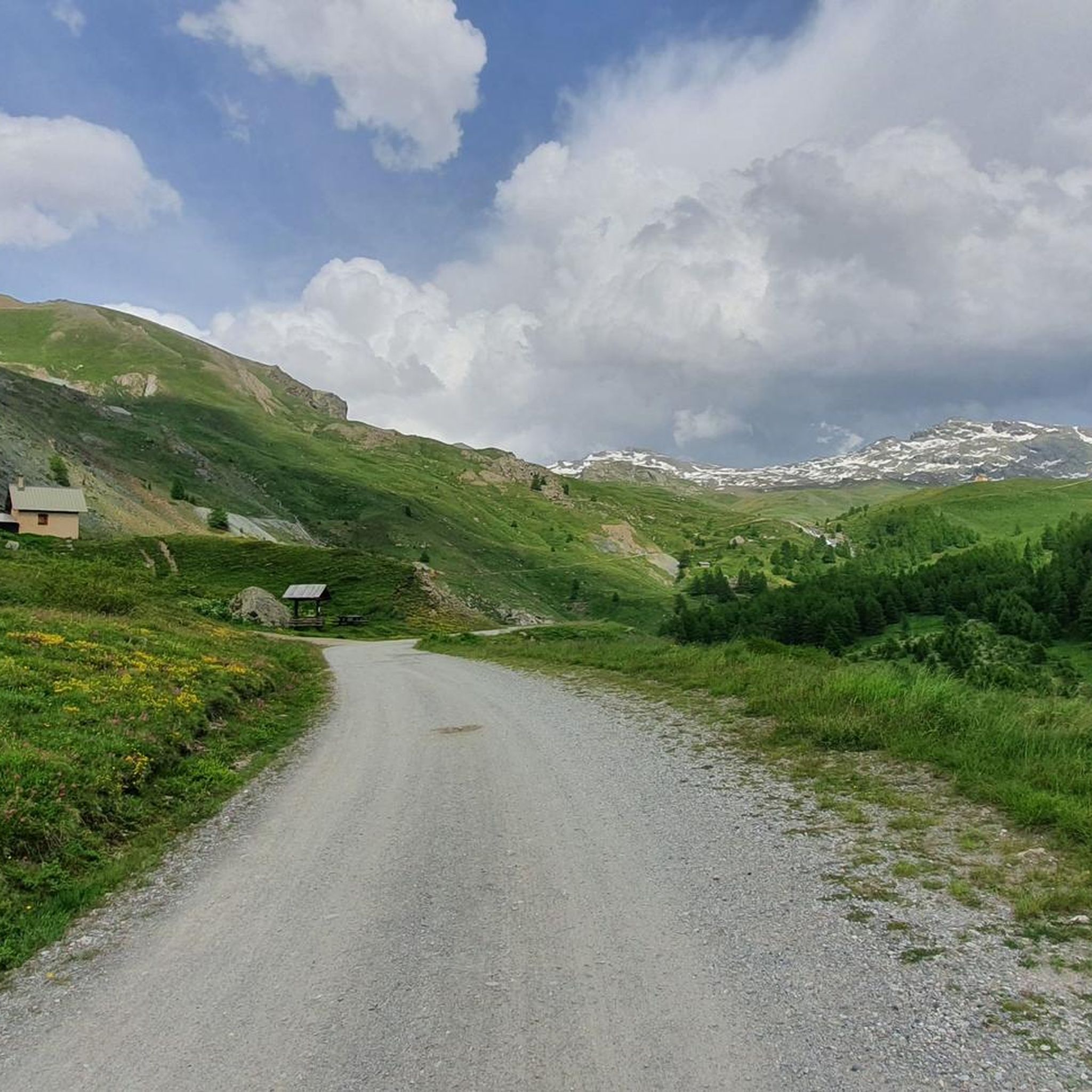
Hiking around Saint-Véran
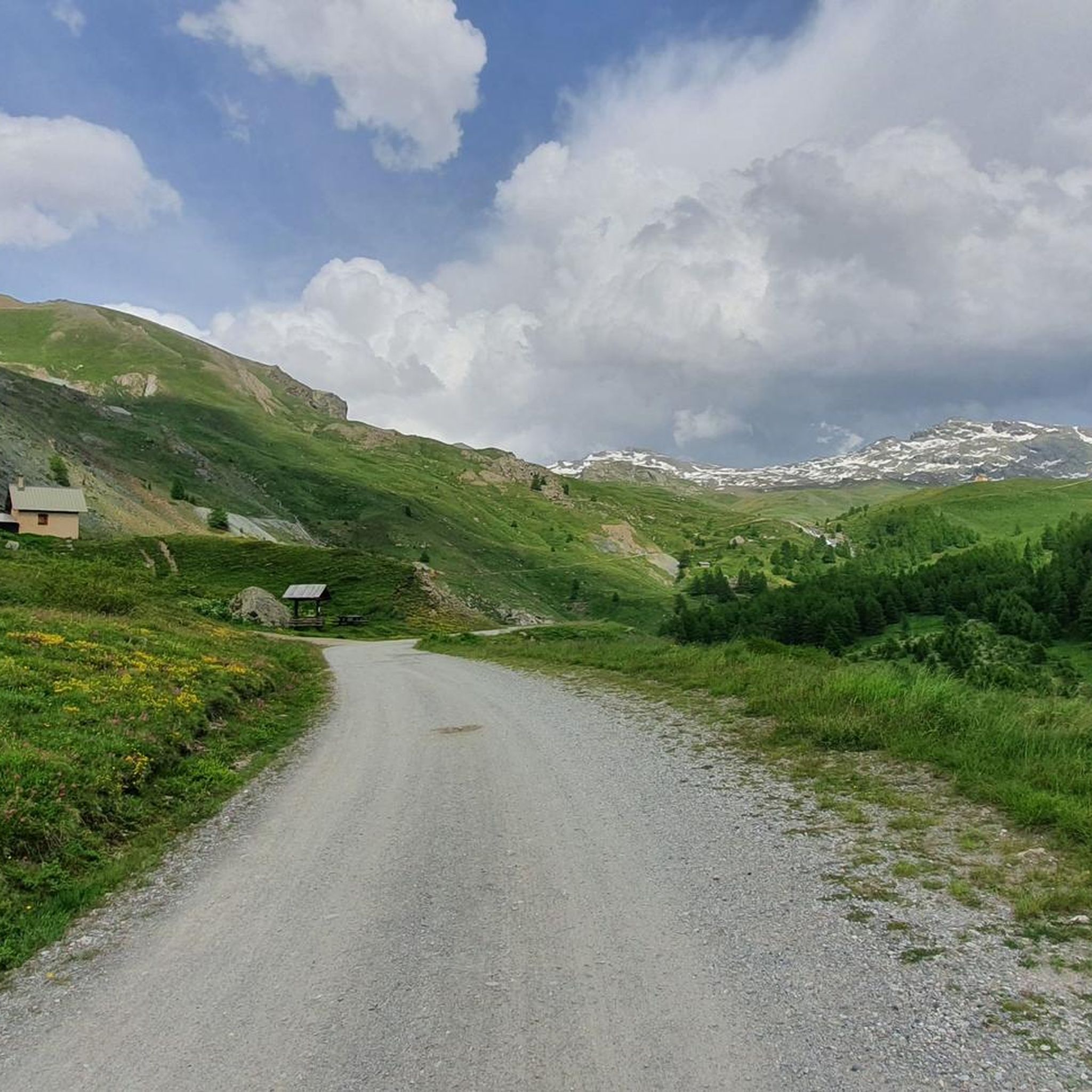
MTB Trails around Saint-Véran
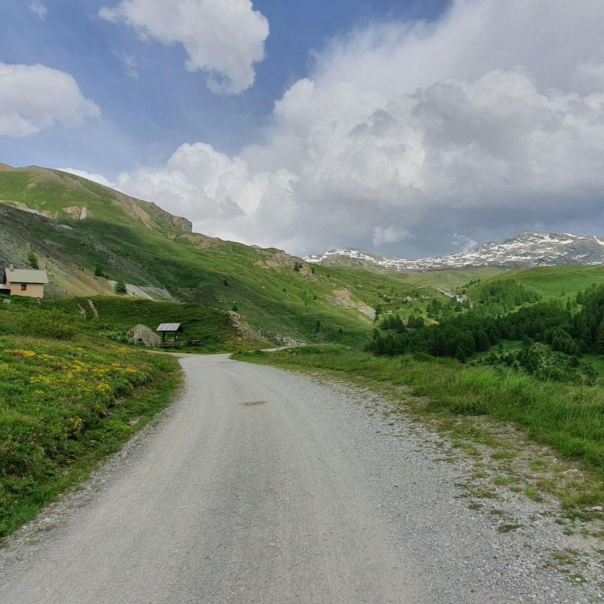
Cycling around Saint-Véran
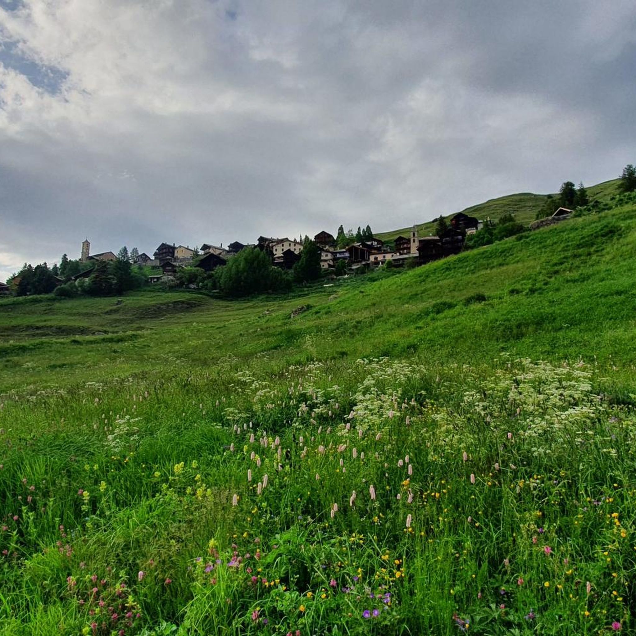
Running Trails around Saint-Véran
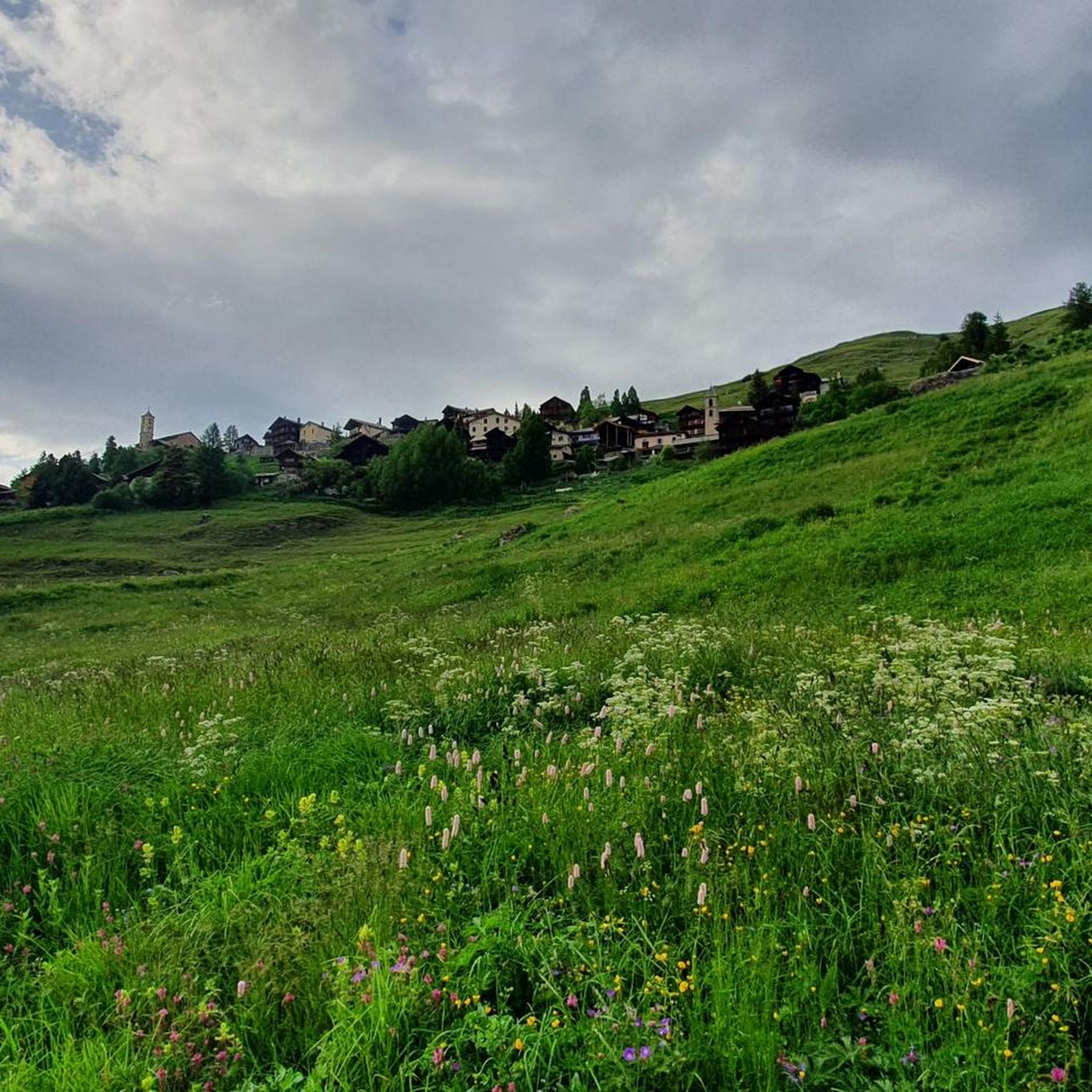
Road Cycling Routes around Saint-Véran
Gravel biking around Saint-Véran

Mountain Hikes around Saint-Véran


Tips from the Community

https://youtu.be/JFu9Uf70ECw?si=5jd76ATJkKHsYo-D Pushing up a manageable, sustainable steep section from the lake. Then it's like a high plateau, and from here you can roll down towards the Ubaye Valley via Longet without much difficulty. I initially planned to reach the Ubaye Valley via the Noir, but it was so steep to push that I quickly switched to the Blanchet/Longet route. The two passes start more or less 100 meters from the lake. I can't imagine that going down to the lake would be any fun on the Noir either.
0
0

The altitude of Col Blanchet needs to be corrected, it is 2897 metres
0
0
If you plan to cross the pass as part of an Alpine cross-country bike ride, it's essential to lift and carry your bike over large boulders and rocks. Simply pushing isn't enough. The exit is very steep. An alternative route would be via the Col Agnel road.
0
0

Done in two days it remains less demanding with an overnight stay at the Vallanta refuge
0
0

beautiful walk in a shaded valley. To do in summer when it's hot
0
0

Hike done over 2 days with a 5 year old child and night at the Furfande refuge. Very beautiful view from the pass.
0
0

El Col Fromage, at a crossroads of trails, is a strategic location in the Queyras Regional Natural Park. To the right of Col Fromage is an old military refuge that offers an interesting stop when it is very hot or very cold. This route is very popular with mountain bikers, it allows you to easily change valleys (go from Château-Queyras to Ceillac), with scenery, without too much difficulty. The most experienced will climb to Col des Estronques via the Travesía.
0
0

Nestled at an altitude of 2,301 meters, Col Fromage is an emblematic passage in Queyras. Located between the Bramousse and Estonques passes, it offers incredible views of the valley. Enjoy the show!
0
0
Frequently Asked Questions
What are some unique historical mountain passes near Saint-Véran?
The most notable historical pass is the Tunnel de la Traversette (Buco di Viso). Completed in 1480, it was the first Alpine tunnel and an engineering marvel of its time, located at 2,882 meters above sea level. It offers a unique passage through the mountains and represents a significant historical achievement.
What kind of panoramic views can I expect from the mountain passes around Saint-Véran?
The region offers breathtaking panoramas. From Fromage Pass, you'll see the Cristillan valley and the peaks of La Selle and Rasis. Col de Furfande provides views of the Dent du Ratier, Rochebrune, Font Sancte, and Croseras ridges. Iconic passes like Col de l'Izoard and Col du Galibier offer expansive vistas across the Northern and Southern Alps, including Mont Blanc and Mont Viso on clear days.
Are there mountain passes suitable for family outings near Saint-Véran?
While many passes involve significant elevation, some sections or approaches can be suitable for families. Passes like Col Fromage, which is part of the GR 5, can be accessed via diverse landscapes with manageable difficulty for mountain bikers, and certain parts of the GR58 or GR58VT trails are accessible for trekkers. For specific family-friendly routes, it's best to check individual trail descriptions for difficulty ratings.
What are the best seasons to visit the mountain passes around Saint-Véran?
The best time to visit is generally from late spring to early autumn (late May to mid-October) when most passes are free of snow and accessible. Passes like Col de l'Izoard and Col du Galibier typically open to traffic after the snow melts in late May. The Col du Lautaret is unique as it's often open all year round, serving as a strategic route.
Are there challenging mountain passes for experienced hikers or cyclists?
Yes, the region offers several challenging passes. The Vallanta Pass, marking the border between Italy and France, is considered challenging. For cyclists, the Col du Galibier is renowned for its wild scenery and challenging ascent, as is the climb to Col de Granon from the south slope. The Col Blanchet (2997 m) is also a challenging option for experienced trekkers.
What cycling opportunities are available on the mountain passes near Saint-Véran?
The mountain passes around Saint-Véran are a paradise for cyclists. The Col de l'Izoard is a legendary route featured in the Tour de France, known for its unique 'Casse Déserte' landscape. The Col du Galibier is another iconic and challenging destination for cycling enthusiasts. You can find various road cycling routes, including difficult loops around Col Agnel, by exploring the Road Cycling Routes around Saint-Véran guide.
Can I find hiking trails near these mountain passes?
Absolutely. Many mountain passes are integral parts of extensive hiking networks. Col Fromage is on the GR 5 long-distance hiking trail, and passes like Col Agnel, Col de St Véran, Col des Estronques, and Col des Prés de Fromage are accessible via the GR58 or GR58VT trails. For detailed hiking options, check out the Hiking around Saint-Véran guide, which includes routes like the Saint-Véran Village – Col de Chamoussière loop.
Are there options for gravel biking or mountain biking near Saint-Véran's passes?
Yes, the diverse terrain around Saint-Véran is well-suited for gravel and mountain biking. Col Fromage, for instance, is particularly favored by mountain bikers for its easy transitions between valleys and varied landscapes. You can explore various gravel biking routes, including challenging loops around Lac de Pontechianale, in the Gravel biking around Saint-Véran guide.
What makes the Col de l'Izoard a must-visit mountain pass?
The Col de l'Izoard, at 2,360 meters, is an iconic pass famous for its unique 'Casse Déserte' – an almost lunar landscape. It offers spectacular panoramic views of Queyras, Ubaye, the Écrins Massif, and Pelvoux, with Mont Blanc and Mont Viso visible on clear days. It's also a legendary route for cyclists, frequently featured in the Tour de France.
Which mountain pass serves as a natural boundary between France and Italy?
The Vallanta Pass marks the natural watershed between Italy and France. From this pass, visitors can observe the impressive northwest face of Monviso, which appears remarkably close.
Is there a mountain pass that is open all year round near Saint-Véran?
Yes, the Col du Lautaret, at an altitude of 2,058 meters, is considered one of the most beautiful roads in the Alps and is uniquely open all year round. It serves as a natural boundary between the Southern and Northern Alps and offers exceptional panoramic views.
What do visitors enjoy most about the mountain passes around Saint-Véran?
Visitors highly appreciate the stunning panoramic views, the challenging yet rewarding routes for both hiking and cycling, and the unique natural and historical features. The region's high-altitude passes, like Col de Furfande, are praised for their spectacular vistas, and the historical significance of sites like the Tunnel de la Traversette is a major draw. The komoot community has contributed 85 photos and 73 upvotes, highlighting the area's appeal.
Most popular routes around Saint-Véran
Most popular attractions around Saint-Véran

Get inspired with the komoot mobile app


Explore more
See even more epic mountain passes by checking out these guides around Saint-Véran:
