The best running trails around Marcenod
4.3
(141)
3,810
runners
270
runs
Jogging around Marcenod offers diverse landscapes for runners. The region, part of the Auvergne-Rhône-Alpes, features varied terrain from gentle paths to more challenging ascents. Natural features near Marcenod include the Gimond Dam, providing scenic and relatively flat running routes, alongside dedicated trail walking routes that offer significant elevation changes. These running trails Marcenod provide an immersive experience through natural settings.
Best jogging routes around Marcenod
- The most popular jogging route is Chemin de la fond du loup loop from Saint-Romain-en-Jarez…
Last updated: June 26, 2026
68
runners
47.3km
06:00
1,340m
1,340m
Hard run. Very good fitness required. Mostly paved surfaces. Suitable for all skill levels.
37
runners
23.4km
03:05
730m
730m
Hard run. Very good fitness required. Mostly paved surfaces. Suitable for all skill levels.

Sign up for free
5.0
(13)
16
runners
13.9km
01:39
300m
300m
Moderate run. Good fitness required. Mostly paved surfaces. Suitable for all skill levels.
15
runners
11.7km
01:28
330m
330m
Hard run. Very good fitness required. Mostly paved surfaces. Suitable for all skill levels.
11
runners
12.1km
01:30
350m
350m
Hard run. Very good fitness required. Mostly paved surfaces. Suitable for all skill levels.
Get access to more routes and recommendations from other explorers.
Sign up for free
Already have an account?
Our route recommendations are based on thousands of hikes, rides, and runs completed by other people on komoot.
Start today with a free account
Your next adventure awaits.
Login or Signup
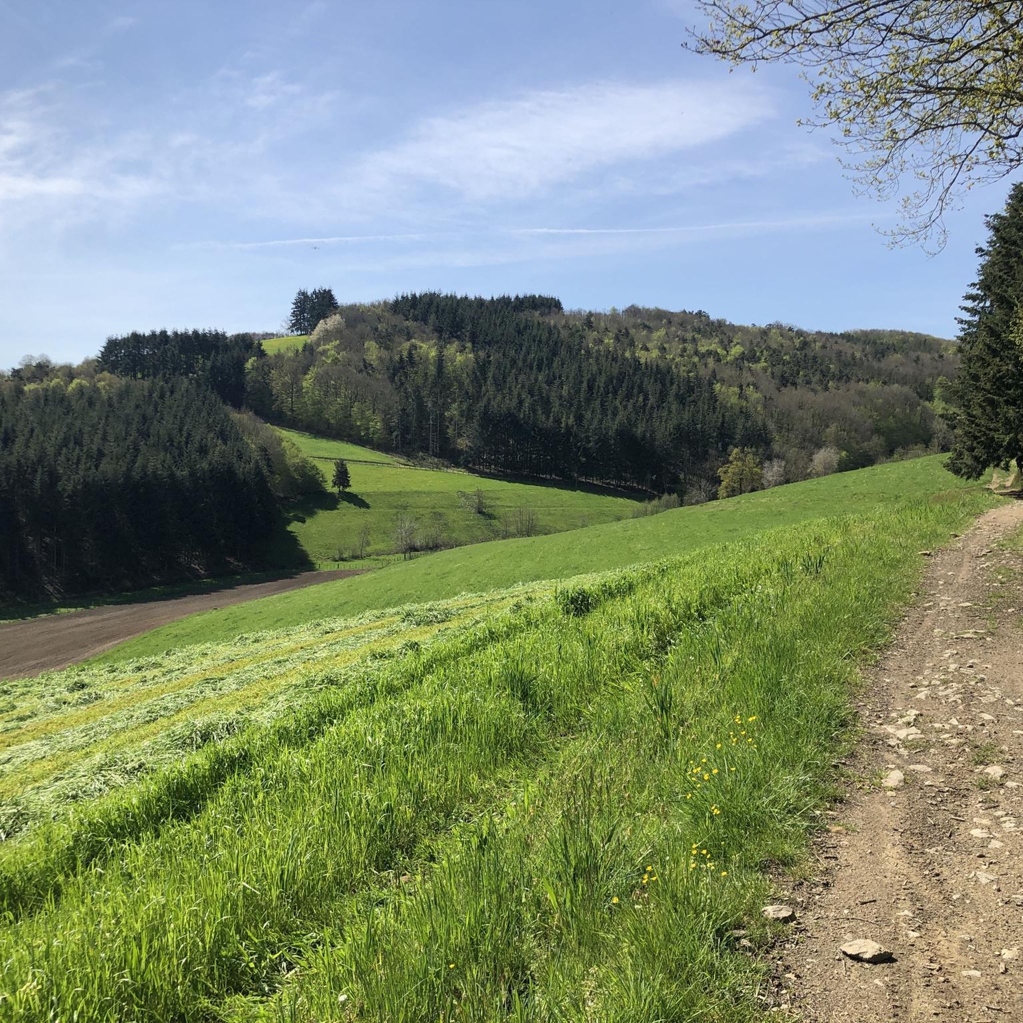
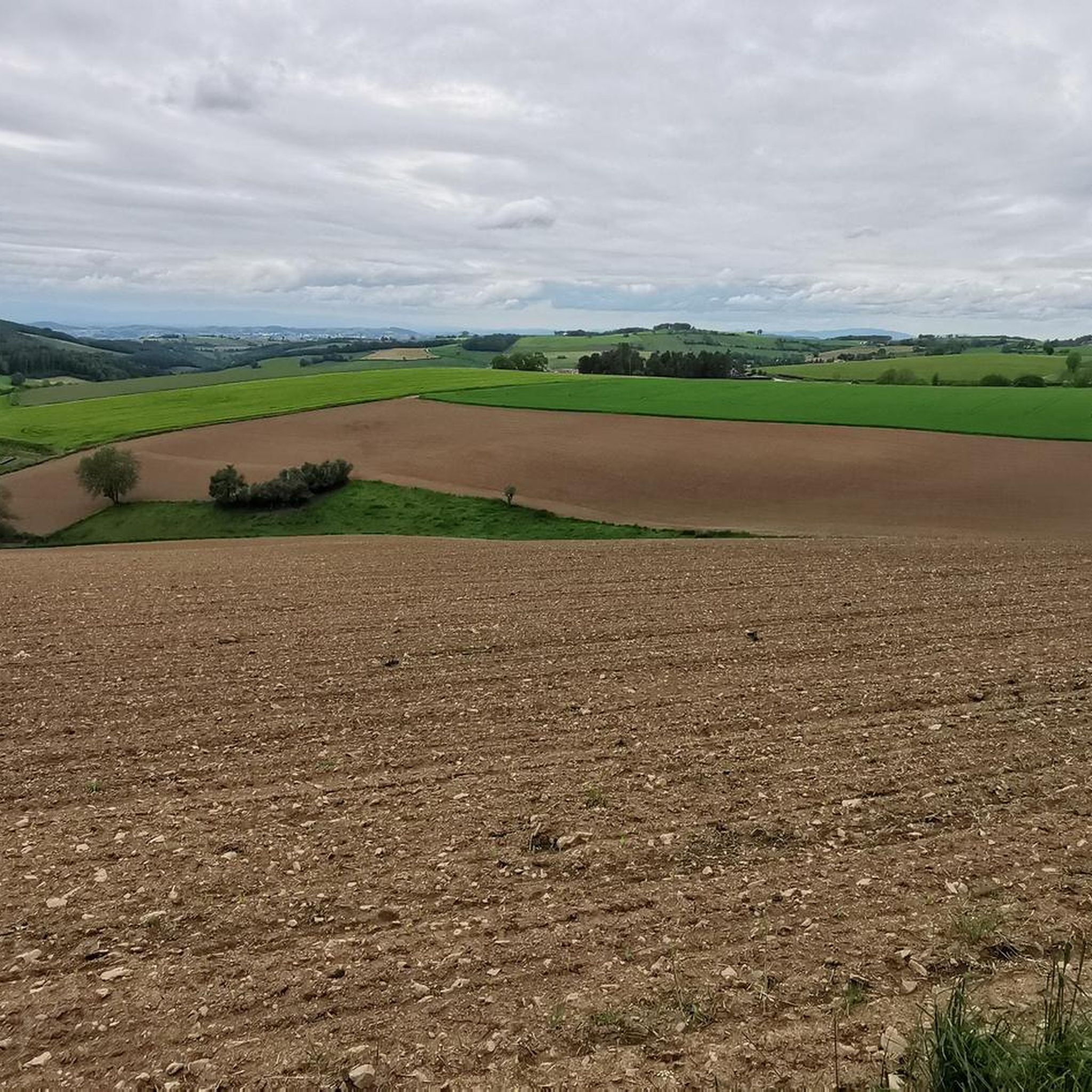
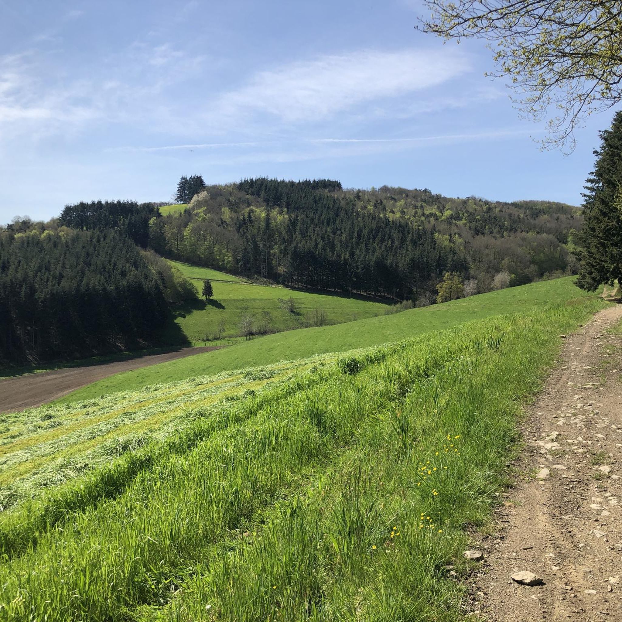
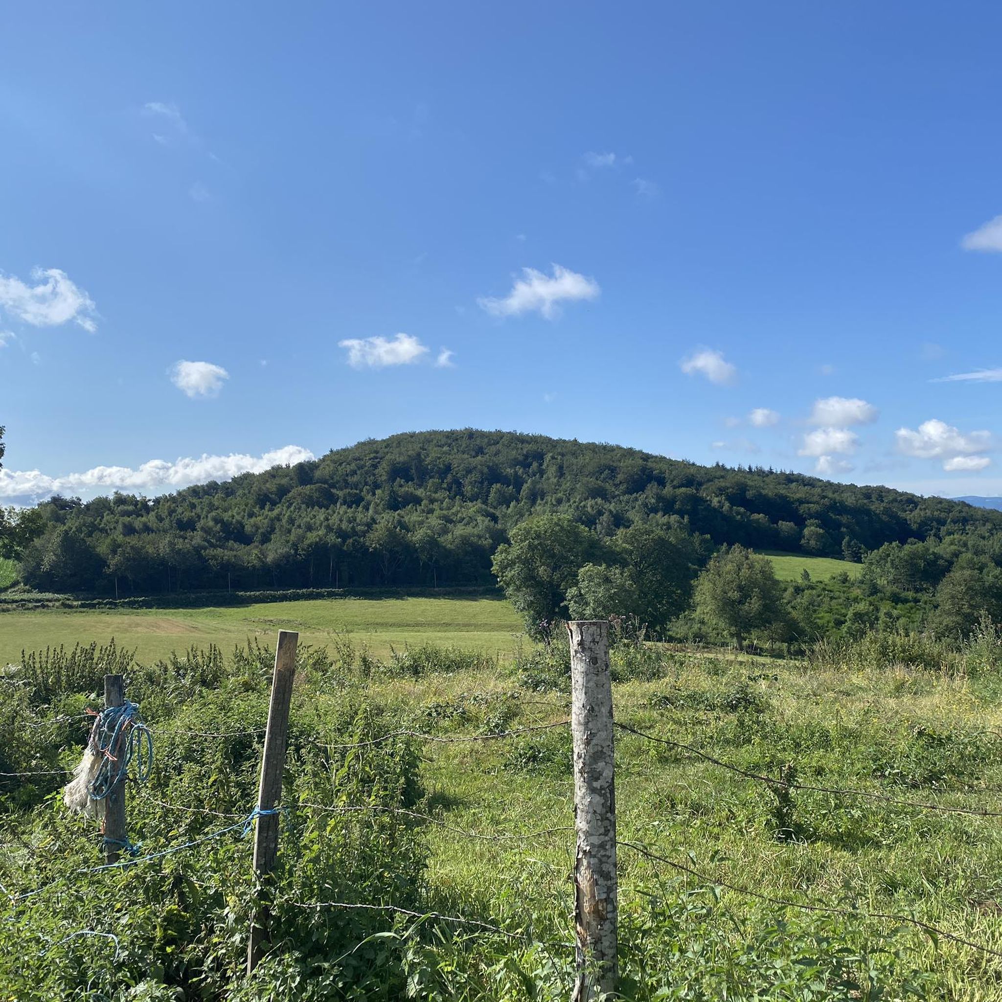

Tips from the Community

on the watershed between the ocean and the Mediterranean
0
0


Pleasant and friendly especially when the weather is nice
0
0
Super beautiful and pleasant in good weather
0
0

Beautiful hike without difficulty with beautiful viewpoints
0
0

As you pass near the zoo, you will be able to hear and even see certain animals
0
0

Located in the town of Larajasse, this chapel was initially called the Chapel of Fontillon before being renamed the Chapel of La Salette. It is ideally located and offers a beautiful panorama of the Monts du Lyonnais, Pilat and the Alps if the sky is clear. A mass is celebrated every September in the chapel (month of apparition of the Virgin Salette).
0
0

Accessible from the pretty village of Valfleury
0
0
Frequently Asked Questions
How many running routes are available around Marcenod?
Marcenod offers a wide selection of running routes, with over 260 trails to explore. These range from easy jogs to more challenging trail runs, catering to various fitness levels.
Are there easy running routes suitable for beginners or families in Marcenod?
Yes, Marcenod has several easy running routes perfect for beginners or families. While the region is known for varied terrain, there are 8 routes classified as easy. For a moderate option that's still accessible, consider the Chemin de la fond du loup – Col de la Gachet loop from Saint-Christo-en-Jarez, which is 7.0 km long and takes about 50 minutes.
What kind of terrain can I expect on the jogging trails near Marcenod?
The jogging trails around Marcenod offer varied terrain. You'll find relatively flat or gently undulating paths, especially around the Gimond Dam, ideal for scenic jogs. For those seeking a challenge, there are also dedicated trail walking routes with significant elevation changes, including uphill gradients of up to 657 meters on some longer loops.
Are there any circular running routes in the Marcenod area?
Yes, many of the running routes around Marcenod are circular, allowing you to start and finish at the same point. For example, the Col de la Gachet – White cross loop from Saint-Christo-en-Jarez is a moderate 14.0 km circular route.
What do other runners enjoy most about jogging in Marcenod?
The running routes in Marcenod are highly rated by the komoot community, with an average score of 4.3 stars from over 140 reviews. Runners often praise the varied terrain, from tranquil dam surroundings to challenging ascents, and the immersive natural settings that provide a great backdrop for all levels of runners.
Are there any scenic spots or landmarks to see along the running routes?
Yes, the region offers natural beauty and points of interest. The Gimond Dam provides a scenic backdrop for runs. You can also explore historical sites like the Gold Mine of Saint-Joseph or visit charming settlements such as Saint-Symphorien-sur-Coise, which are nearby attractions.
Are the running trails around Marcenod dog-friendly?
While specific regulations for dogs on every trail are not detailed, the natural settings around Marcenod, including dedicated trail walking routes, generally welcome dogs. It's always recommended to keep your dog on a leash and follow local etiquette to ensure a pleasant experience for everyone.
Where can I find parking near the running trails in Marcenod?
Parking is generally available in and around Marcenod village, as well as at common starting points for trails. For specific routes, such as those starting from Saint-Romain-en-Jarez or Saint-Christo-en-Jarez, you'll typically find designated parking areas nearby. Always check local signage for any restrictions.
Are there any cafes or restaurants near the running routes in Marcenod?
Marcenod village and surrounding settlements offer cafes and restaurants where you can refuel after your run. While specific establishments aren't listed for each route, you'll find options for refreshments and meals in the local communities.
What is a challenging running route in the Marcenod area?
For a challenging run, consider the Chemin de la fond du loup – Bissey Antimony Mine loop from Marcenod. This difficult 47.3 km path features substantial climbs and descends, passing by the Bissey Antimony Mine, and is a favorite among local runners seeking a rigorous workout.
Is public transport available to reach the running trails in Marcenod?
While Marcenod is a rural area, public transport options may be limited. It's advisable to check local bus schedules or regional transport services for connections to Marcenod or nearby villages that serve as trailheads. Driving is often the most convenient way to access many of the routes.
Most popular attractions around Marcenod

Get inspired with the komoot mobile app


Explore more
Browse the best Running Trails & Routes in other regions.
