The best running trails around Crouy-En-Thelle
4.1
(131)
4,443
runners
331
runs
Jogging routes around Crouy-en-Thelle traverse a rural-peri-urban landscape in the Oise department of France. The region is characterized by a mix of open fields, rolling hills, and significant forest coverage, providing varied terrain for runners. Altitudes range from 64 meters to 137 meters, offering gentle inclines and declines suitable for different levels of challenge. Extensive forest access, including parts of the Thelle forest, provides shaded paths for trail running.
Best jogging routes around Crouy-En-Thelle
- The most popular jogging route is…
Last updated: July 1, 2026
36
runners
11.8km
01:21
150m
150m
Moderate run. Good fitness required. Mostly paved surfaces. Suitable for all skill levels.
17
runners
11.2km
01:10
60m
60m
Moderate run. Good fitness required. Mostly paved surfaces. Suitable for all skill levels.

Sign up for free
6
runners
12.8km
01:24
130m
130m
Moderate run. Good fitness required. Mostly paved surfaces. Suitable for all skill levels.
6
runners
10.8km
01:12
100m
100m
Moderate run. Good fitness required. Mostly paved surfaces. Suitable for all skill levels.
6
runners
6.40km
00:42
40m
40m
Moderate run. Good fitness required. Mostly paved surfaces. Suitable for all skill levels.
Get access to more routes and recommendations from other explorers.
Sign up for free
Already have an account?
Our route recommendations are based on thousands of hikes, rides, and runs completed by other people on komoot.
Start today with a free account
Your next adventure awaits.
Login or Signup

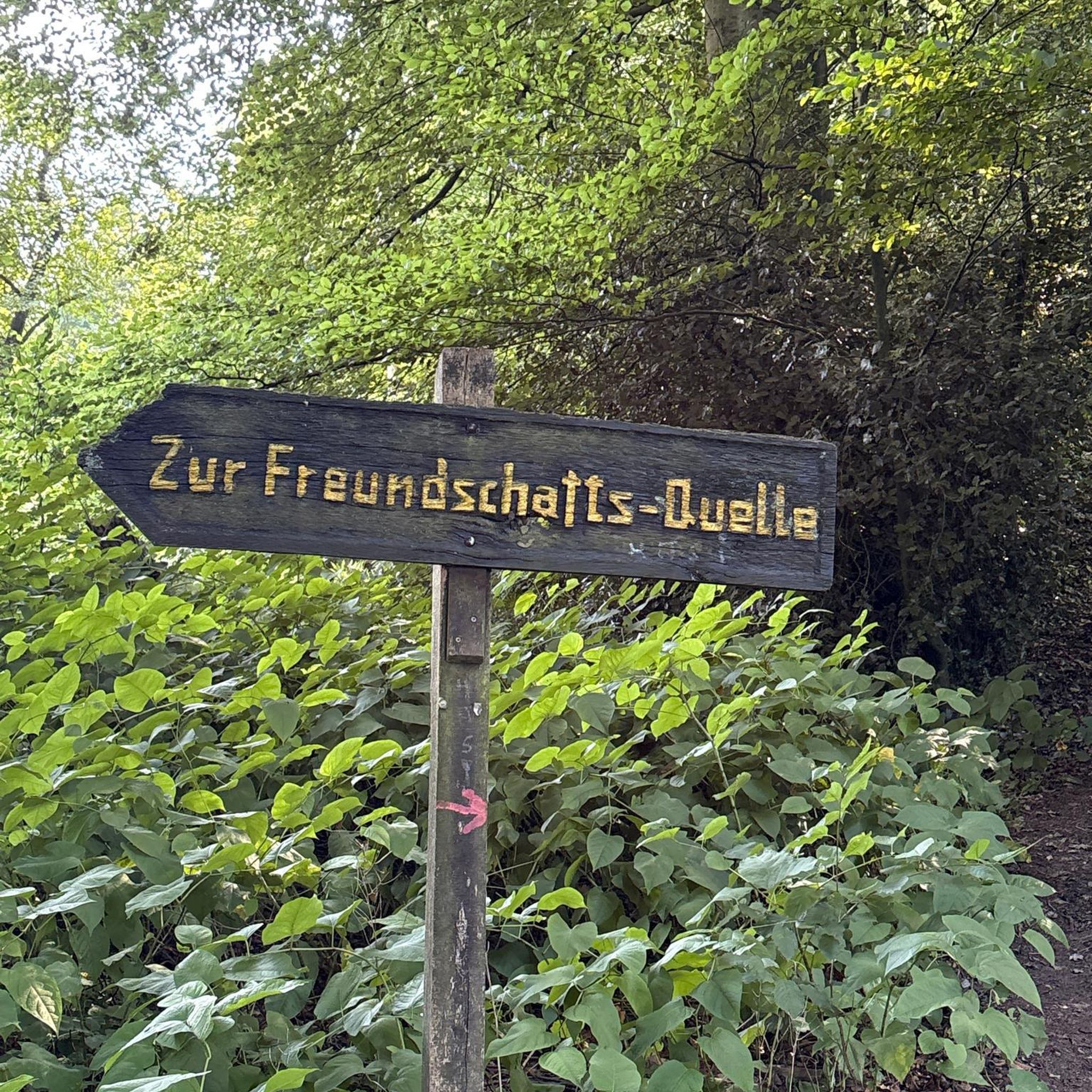
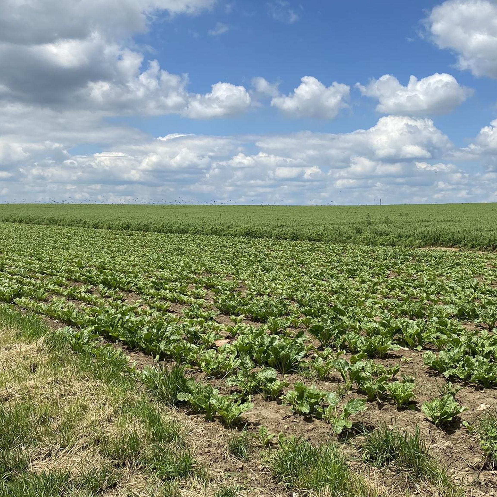
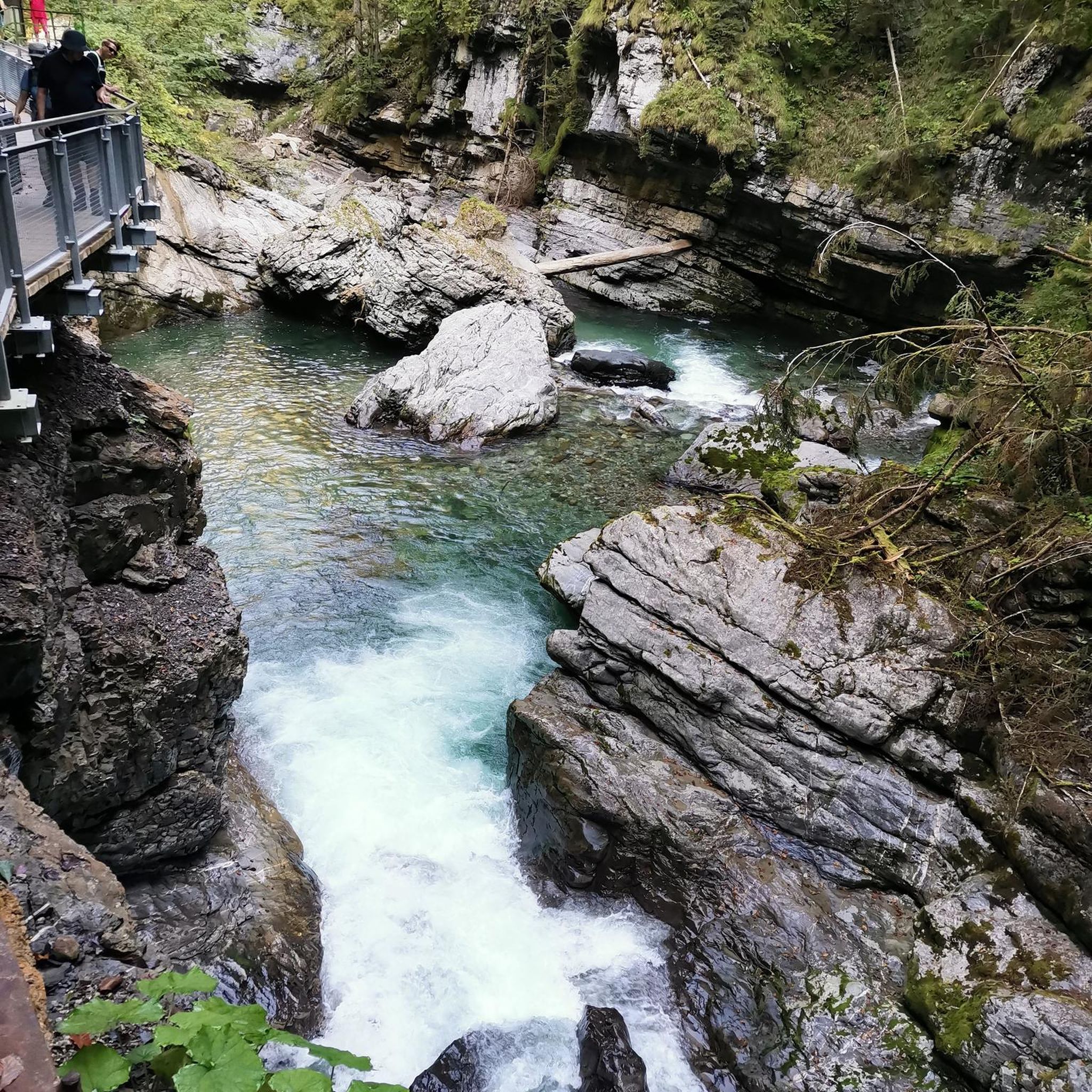

Tips from the Community

Between woods and fields, this little-known valley offers beautiful views typical of the Ile-de-France countryside.
0
0
Frequently Asked Questions
How many running routes are available around Crouy-en-Thelle?
There are over 320 running routes in the Crouy-en-Thelle area, offering a wide variety of options for different preferences and fitness levels. These include 27 easy routes, 256 moderate routes, and 43 more challenging trails.
What kind of terrain can I expect on running routes around Crouy-en-Thelle?
The region offers a diverse landscape for runners, characterized by a mix of open fields, rolling hills, and significant forest coverage. You'll find paths through extensive woodlands like the Thelle forest, providing natural shade, as well as scenic rural paths with gentle inclines and declines. Altitudes range from 64 to 137 meters, ensuring varied topography.
Are there circular running routes in the area?
Yes, many of the running routes around Crouy-en-Thelle are circular, allowing you to start and finish at the same point. For example, the Running loop from Crouy-en-Thelle is a great option for a local circular run.
What do other runners enjoy most about jogging in Crouy-en-Thelle?
The running routes in Crouy-en-Thelle are highly rated by the komoot community, with an average score of 4.0 stars from over 85 reviews. Runners often praise the varied terrain, the peaceful forest paths, and the picturesque rural scenery that makes for an enjoyable outdoor experience. Over 4000 runners have already explored the area with komoot.
Are there routes suitable for beginners or those looking for an easy run?
Absolutely. The area features 27 easy running routes, perfect for beginners or those seeking a more relaxed jog. These trails typically have minimal elevation gain and cover gentler terrain, allowing for a comfortable and enjoyable experience.
Can I bring my dog on the running trails around Crouy-en-Thelle?
While many natural areas in France are dog-friendly, especially on leash, specific rules can vary by forest or park. It's generally advisable to keep your dog on a leash, especially in forested areas or near wildlife. Always check local signage for any restrictions before heading out.
Are there family-friendly running paths in the region?
Yes, the region offers paths suitable for families. The extensive forests, such as the broader Thelle forest, include marked pedagogical trails that are generally well-maintained and offer a pleasant environment for family strolls or light jogs. These routes often have gentle gradients, making them accessible for various ages.
What are the parking options for accessing running routes?
Parking is generally available in and around the villages that serve as starting points for many routes. You can often find parking near town halls (Mairies) or designated trail parking areas. For specific routes, checking the route details on komoot often provides information about nearby parking. The 'Découvrir Crouy-en-Thelle' trail also has dedicated parking.
How can I reach the running trails using public transport?
Crouy-en-Thelle is a rural commune, so public transport options directly to trailheads might be limited. It's best to check local bus schedules for connections to Crouy-en-Thelle or nearby villages like Neuilly-en-Thelle or Ercuis, which are common starting points for many running routes. From these villages, trails are often accessible on foot.
What are some notable landmarks or points of interest I might see near the running routes?
While jogging, you might encounter various points of interest. The region is home to several historical sites and natural features. For example, you could explore areas near Royaumont Abbey or discover the tranquil Le Petit Étang de Carnelle. There are also several castles in the wider area, such as The Château-pital of Saint-Martin-du-Tertre, which add historical charm to the landscape.
Are there longer distance running trails available for more experienced runners?
Yes, for those seeking a greater challenge, there are 43 difficult routes in the area. Many moderate routes, such as the Bois Viville loop from Neuilly-en-Thelle (7.4 miles), offer substantial distances and varied terrain. You can combine routes or explore the more extensive forest networks for longer runs.
What is the best time of year for running in Crouy-en-Thelle?
The varied landscape of Crouy-en-Thelle makes it suitable for running throughout much of the year. Spring and autumn offer pleasant temperatures and beautiful scenery. The extensive forest coverage provides natural shade, making summer runs enjoyable, especially in the mornings or late afternoons. Winter running is also possible, though conditions may vary.
Most popular routes around Crouy-En-Thelle
Most popular attractions around Crouy-En-Thelle

Get inspired with the komoot mobile app


Explore more
Browse the best Running Trails & Routes in other regions.
