The best walks and hikes around Dieudonné
4.5
(119)
424
hikers
55
hikes
Hiking around Dieudonné offers a network of trails characterized by gentle hills, open fields, and rural landscapes. The region features accessible paths that wind through local villages and natural areas. These routes typically involve moderate elevation changes, making them suitable for various fitness levels. The terrain is generally composed of well-maintained paths and tracks, providing opportunities for peaceful walks.
Best hiking trails around Dieudonné
- The most popular hiking route is Vallée de Noé loop from Communauté de communes Thelloise,…
Last updated: July 5, 2026
4.5
(4)
14
hikers
11.1km
02:55
100m
100m
Moderate hike. Good fitness required. Easily-accessible paths. Suitable for all skill levels.
9
hikers
Moderate hike. Good fitness required. Easily-accessible paths. Suitable for all skill levels.

Sign up for free
6
hikers
Moderate hike. Good fitness required. Easily-accessible paths. Suitable for all skill levels.
3
hikers
Moderate hike. Good fitness required. Easily-accessible paths. Suitable for all skill levels.
3
hikers
12.9km
03:26
130m
130m
Moderate hike. Good fitness required. Easily-accessible paths. Suitable for all skill levels.
Get access to more routes and recommendations from other explorers.
Sign up for free
Already have an account?
Our route recommendations are based on thousands of hikes, rides, and runs completed by other people on komoot.
Start today with a free account
Your next adventure awaits.
Login or Signup


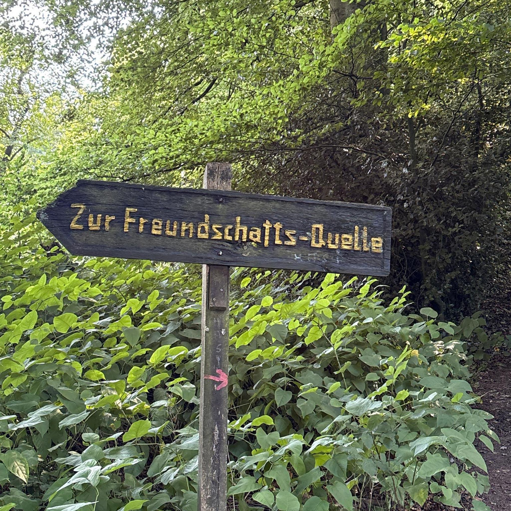

Tips from the Community

Charming church in the heart of a typical village
0
0


Small village in the Oise region which has retained its old-world charm.
0
0

Between woods and fields, this little-known valley offers beautiful views typical of the Ile-de-France countryside.
0
0
Frequently Asked Questions
What types of hiking trails can I expect around Dieudonné?
Hiking around Dieudonné primarily features gentle hills, open fields, and rural landscapes. The trails are generally well-maintained paths and tracks, suitable for various fitness levels, with moderate elevation changes. You'll find options ranging from easy strolls to more challenging routes, often connecting local villages and natural areas.
Are there easy hiking trails suitable for beginners in Dieudonné?
Yes, Dieudonné offers a good selection of easy trails perfect for beginners or those seeking a relaxed walk. Out of the 58 available routes, 19 are classified as easy, providing accessible paths through the region's gentle terrain.
What is the typical duration of hikes in Dieudonné?
The duration of hikes in Dieudonné varies depending on the route and your pace. Many popular routes, such as the Vallée de Noé loop, typically take around 2 hours 55 minutes. Longer routes, like the Dieudonné Town Hall and School loop from Neuilly-en-Thelle, can take approximately 4 hours 16 minutes. You'll find a range of options to fit your schedule.
Are there family-friendly hiking options in Dieudonné?
Absolutely. The region's gentle terrain and well-maintained paths make many routes ideal for families. The numerous easy and moderate trails, often winding through villages and natural areas, provide a pleasant experience for all ages. For example, the forest walks around Mont-Mussy near Divonne-les-Bains offer a health trail with exercise workshops that can be fun for children.
Can I bring my dog on the hiking trails around Dieudonné?
Most rural hiking trails in the Dieudonné area are generally dog-friendly, allowing you to enjoy the natural surroundings with your canine companion. However, it's always recommended to keep your dog on a leash, especially when passing through agricultural areas or near wildlife, and to check for any specific local regulations or signage on individual routes.
What is the best season for hiking in Dieudonné?
Dieudonné offers pleasant hiking opportunities throughout much of the year. Spring and autumn provide comfortable temperatures and beautiful scenery with blooming flowers or vibrant foliage. Summer is also suitable, especially for shaded forest paths. While the region's lower elevations are generally accessible in winter, higher areas, particularly in the nearby Belledonne Massif or La Dôle, might require specific winter gear due to snow.
Are there many circular hiking routes available in Dieudonné?
Yes, many of the hiking routes around Dieudonné are designed as circular loops, offering convenient starting and ending points. Examples include the Vallée de Noé loop and the Dieudonné Town Hall and School – Château de Puiseux loop, allowing you to explore the area without retracing your steps.
Where can I find scenic viewpoints or panoramic views in the Dieudonné area?
While Dieudonné itself features gentle rural landscapes, the broader region offers spectacular viewpoints. For breathtaking 360° panoramas, consider a challenging hike to the summit of La Dôle (1677 m) near Divonne-les-Bains, which offers views of Lake Geneva, the Alps, and Mont Blanc. The Belledonne Massif also boasts magnificent landscapes with stunning lakes and diverse trails at higher elevations.
Are there any interesting landmarks or attractions to see along the hiking trails?
Yes, the Dieudonné area is rich with historical and natural points of interest. You can explore sites like the Pierre de Lait Polishing Stone, the historic Château de Boran-sur-Oise, or the Lavoir of Mesnil Saint-Martin. Near Divonne-les-Bains, you can also find the unique Marais des Bidonnes with its boardwalk through a marshy area, or enjoy a stroll around Lake Divonne.
What do other hikers enjoy the most about hiking in Dieudonné?
The hiking experience in Dieudonné is highly regarded by the komoot community, with an average rating of 4.5 stars from over 100 reviews. Hikers often praise the peaceful rural surroundings, the well-maintained paths, and the opportunity to connect with nature through gentle valleys and charming village-to-village connections. The accessibility for various fitness levels is also frequently highlighted.
Are there opportunities for winter hiking in Dieudonné?
In Dieudonné's immediate vicinity, the lower elevation rural paths are generally suitable for winter hiking, offering crisp air and quiet landscapes. However, for more challenging winter experiences, the nearby Belledonne Massif provides stunning snowy vistas, though these routes require appropriate winter gear and experience due to potential snow and ice conditions.
How can I find less crowded hiking trails around Dieudonné?
To find less crowded trails, consider hiking during off-peak hours, such as early mornings or late afternoons, or on weekdays rather than weekends. Exploring some of the lesser-known moderate routes, which still offer beautiful scenery, can also lead to a more solitary experience. The region has 58 routes in total, providing plenty of options beyond the most popular ones.
Most popular routes around Dieudonné
Most popular attractions around Dieudonné

Get inspired with the komoot mobile app


Explore more
Browse the best Hikes in other regions.
