The best walks and hikes around Saint-Cyr-De-Favières
4.4
(428)
2,162
hikers
160
hikes
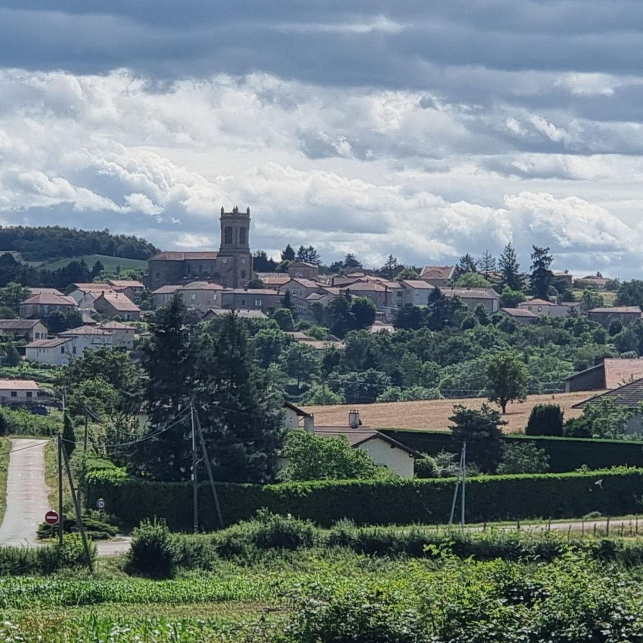
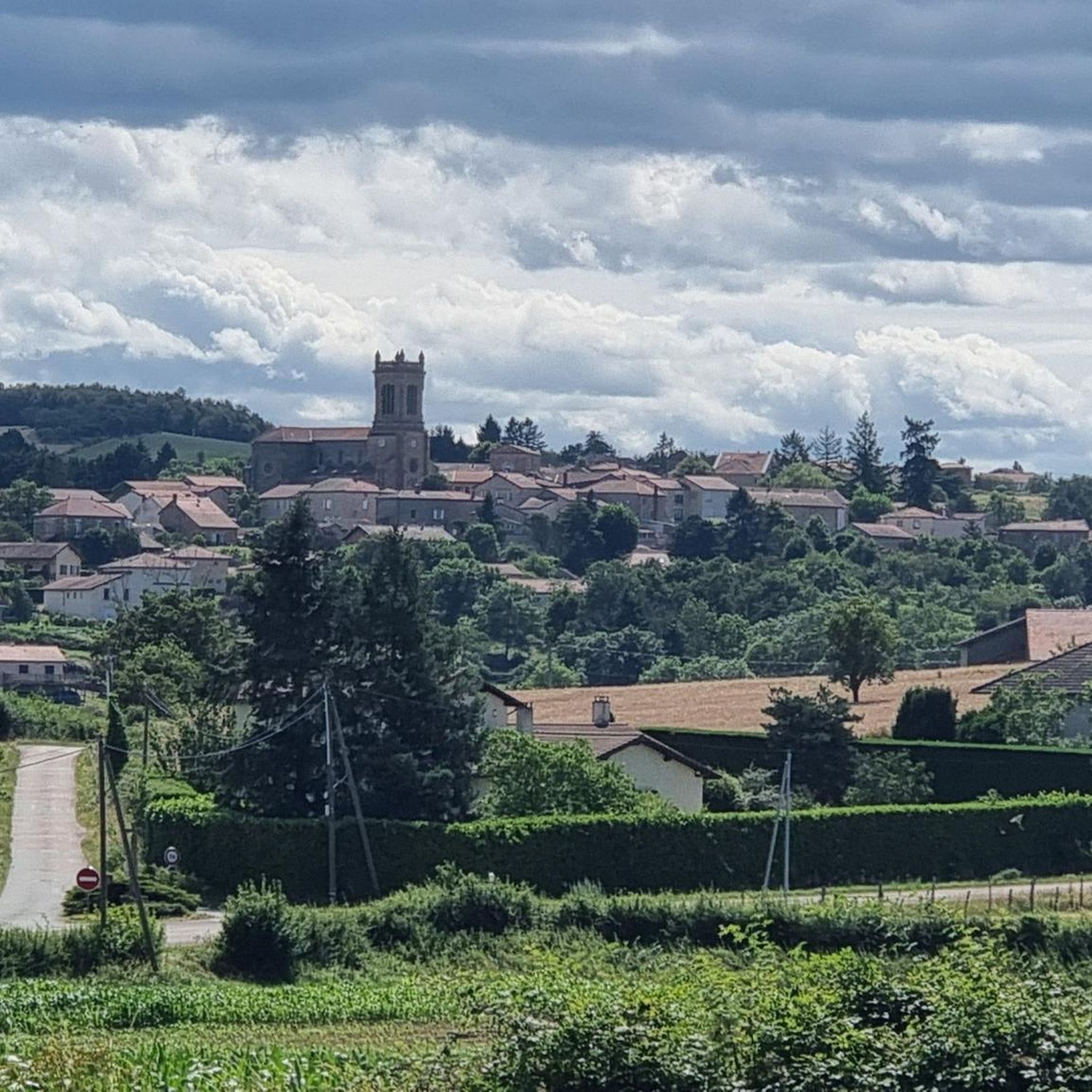
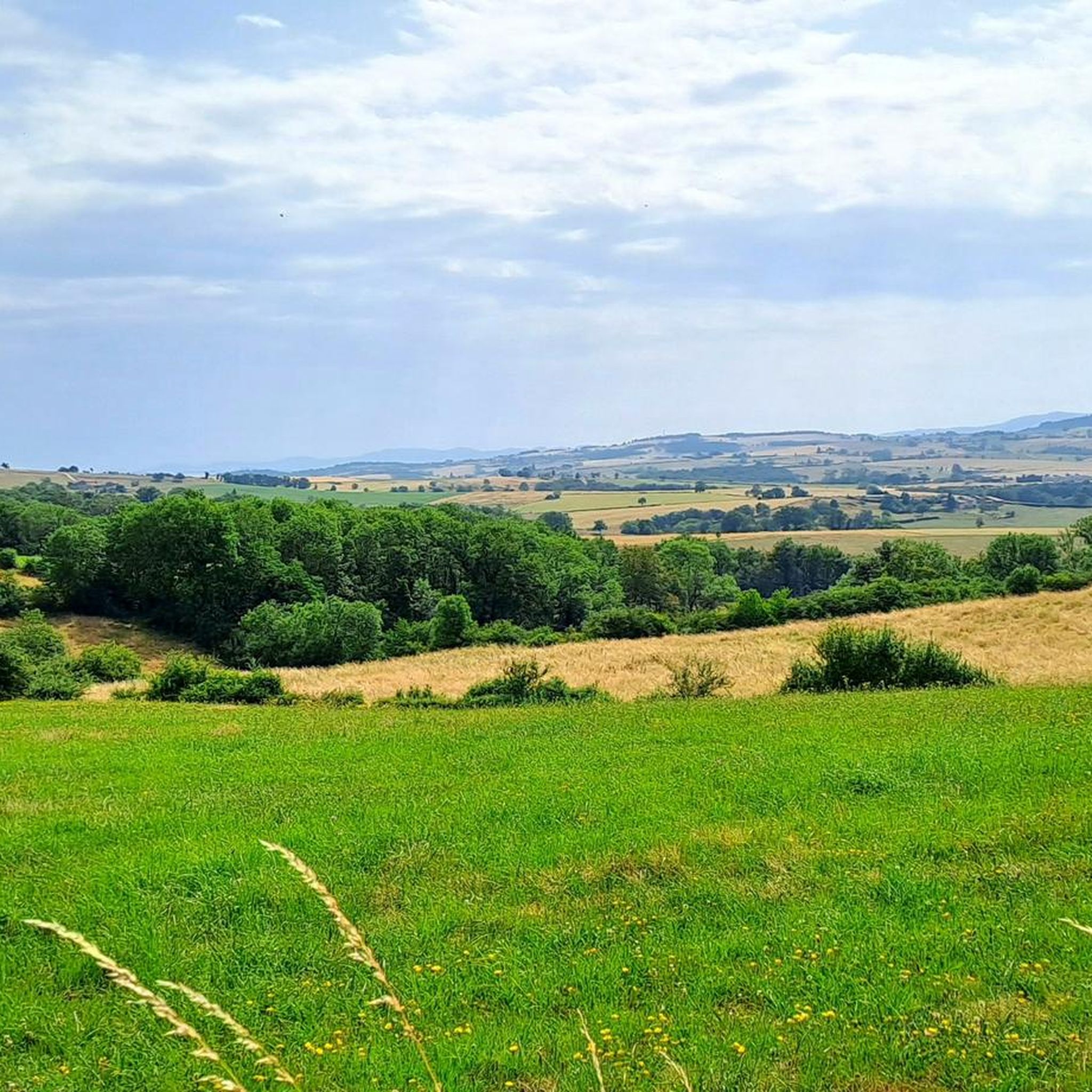
Hiking around Saint-Cyr-De-Favières offers varied terrain within the hilly Roanne countryside, characterized by undulating hills and elevations ranging from 287 to 541 meters. The region features a mix of woodlands and open fields, providing diverse environments for outdoor activities. Many routes offer views over the Roanne plain, enhancing the scenic experience. This area provides accessible natural features for hikers of various skill levels.
Best hiking trails around Saint-Cyr-De-Favières
- The most popular hiking route is Banc du lac loop from Villerest…
Last updated: July 11, 2026
4.1
(8)
33
hikers
16.1km
04:22
210m
220m
Moderate hike. Good fitness required. Easily-accessible paths. Suitable for all skill levels.
4.5
(4)
44
hikers
9.07km
02:31
160m
160m
Moderate hike. Good fitness required. Easily-accessible paths. Suitable for all skill levels.

Sign up for free
5.0
(1)
28
hikers
3.36km
00:52
10m
10m
Easy hike. Great for any fitness level. Easily-accessible paths. Suitable for all skill levels.
4.5
(2)
15
hikers
5.53km
01:32
100m
100m
Easy hike. Great for any fitness level. Easily-accessible paths. Suitable for all skill levels.
19
hikers
5.41km
01:24
30m
30m
Easy hike. Great for any fitness level. Easily-accessible paths. Suitable for all skill levels.
Get access to more routes and recommendations from other explorers.
Sign up for free
Already have an account?
Our route recommendations are based on thousands of hikes, rides, and runs completed by other people on komoot.
Start today with a free account
Your next adventure awaits.
Login or Signup

Tips from the Community

Very friendly and accessible to all
0
0


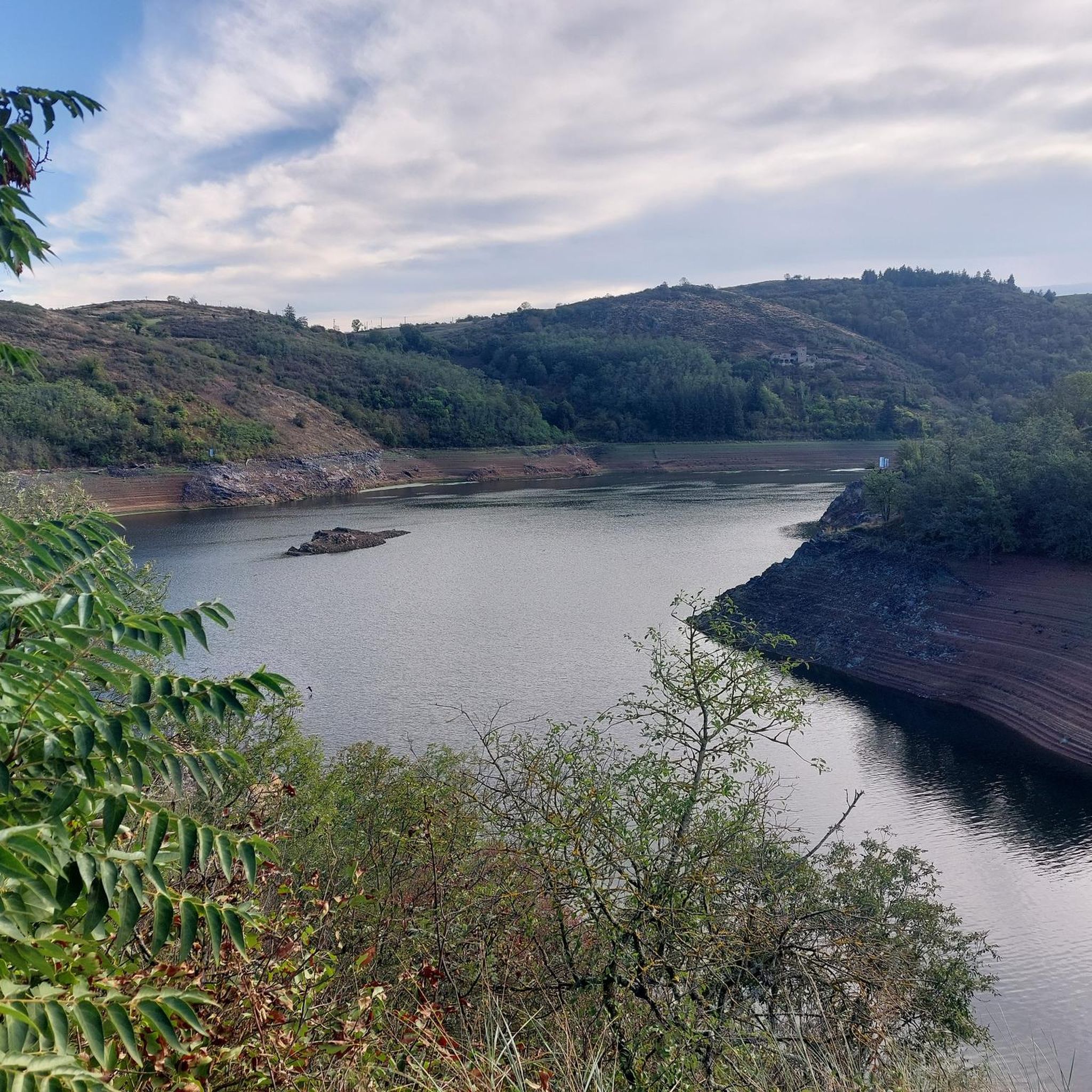
Belvedere with a view of the dam and Villerest lake, 59 meters high!
2
0

Superb artificial lake and nautical base. Passing over the dam by bike is quite impressive due to its height and length.
0
0

The Villerest leisure center offers commented cruises on the lake, boat rentals, sailing, but also swimming, a sandy beach and fishing activities.
0
0
Frequently Asked Questions
How many hiking trails are available in Saint-Cyr-De-Favières?
There are over 150 hiking routes around Saint-Cyr-De-Favières, catering to various skill levels. This includes approximately 60 easy trails, nearly 80 moderate routes, and about 15 more challenging options.
What kind of landscapes can I expect to see while hiking in Saint-Cyr-De-Favières?
Hikers in Saint-Cyr-De-Favières will experience the beautiful hilly Roanne countryside, characterized by undulating hills and elevations ranging from 287 to 541 meters. Trails often traverse a mix of woodlands, such as the Bois de Terrenoire, and open fields, with many offering scenic views over the Roanne plain.
Are there any family-friendly hiking options in the area?
Yes, Saint-Cyr-De-Favières offers several accessible routes suitable for families. The region is known for its varied terrain that accommodates different fitness levels. An example of an easy, family-friendly walk is the Lac de Villerest – Lake Villerest loop from Villerest, which is 5.6 km long and offers a gentle stroll around the lake.
What do other hikers say about the trails in Saint-Cyr-De-Favières?
The hiking routes in Saint-Cyr-De-Favières are highly regarded by the komoot community, with an average rating of 4.3 out of 5 stars from over 300 reviews. Hikers frequently praise the diverse landscapes, well-maintained paths, and the combination of woodlands and open terrain.
Are there any circular hiking routes available?
Yes, many of the trails in Saint-Cyr-De-Favières are circular, allowing you to start and end at the same point. A popular accessible loop is the Circuit du Lavoir, which departs near the cemetery in Saint-Cyr-De-Favières and guides you through the hilly countryside, woods, and fields. Another option is the Banc du lac loop from Villerest, a moderate 8.6 km route.
What are some notable landmarks or attractions I can see while hiking?
While hiking in the region, you can explore several interesting landmarks. These include historical sites like La Roche Castle and the Keep of Saint-Maurice-sur-Loire. You might also encounter the Saint Stephen's Church or the unique natural feature known as Pêt de l'Âne.
Are there any longer hiking routes for experienced hikers?
For those seeking longer excursions, Saint-Cyr-De-Favières offers several moderate routes that provide a good challenge. The Marina on the Loire – The Loire loop from Parigny is a 14.8 km trail that takes approximately 3 hours 49 minutes to complete, leading you through the scenic Loire riverside area.
Can I find trails with good viewpoints in Saint-Cyr-De-Favières?
Absolutely. The hilly Roanne countryside ensures many trails offer excellent panoramic views. Routes like the Circuit du Lavoir are specifically noted for providing beautiful perspectives over the Roanne plain, allowing hikers to appreciate the expansive regional landscape.
Is there parking available at the trailheads?
While specific parking details for every trailhead are not provided, the Circuit du Lavoir, a popular accessible loop, departs from near the cemetery in Saint-Cyr-De-Favières, suggesting convenient access points within the commune. Generally, rural areas like Saint-Cyr-De-Favières often have designated or informal parking near popular starting points.
What is the best time of year to go hiking in Saint-Cyr-De-Favières?
The varied terrain and mix of woodlands and open fields make Saint-Cyr-De-Favières enjoyable for hiking across multiple seasons. Spring and autumn offer pleasant temperatures and vibrant natural colors, while summer provides longer daylight hours. The region's accessible natural features are generally suitable for outdoor activities throughout the year.
Are there any trails that go around Lake Villerest?
Yes, Lake Villerest is a prominent feature in the area with several trails around it. You can explore routes such as the Lac de Villerest – Lake Villerest loop from Villerest, a moderate 12.2 km trail, or the slightly different Lake Villerest – Lac de Villerest loop from Villerest, also around 12.2 km, both offering scenic views of the lake.
Most popular routes around Saint-Cyr-De-Favières
Most popular attractions around Saint-Cyr-De-Favières

Get inspired with the komoot mobile app


Explore more
Browse the best Hikes in other regions.
