The best walks and hikes around Boofzheim
4.5
(1492)
6,419
hikers
289
hikes
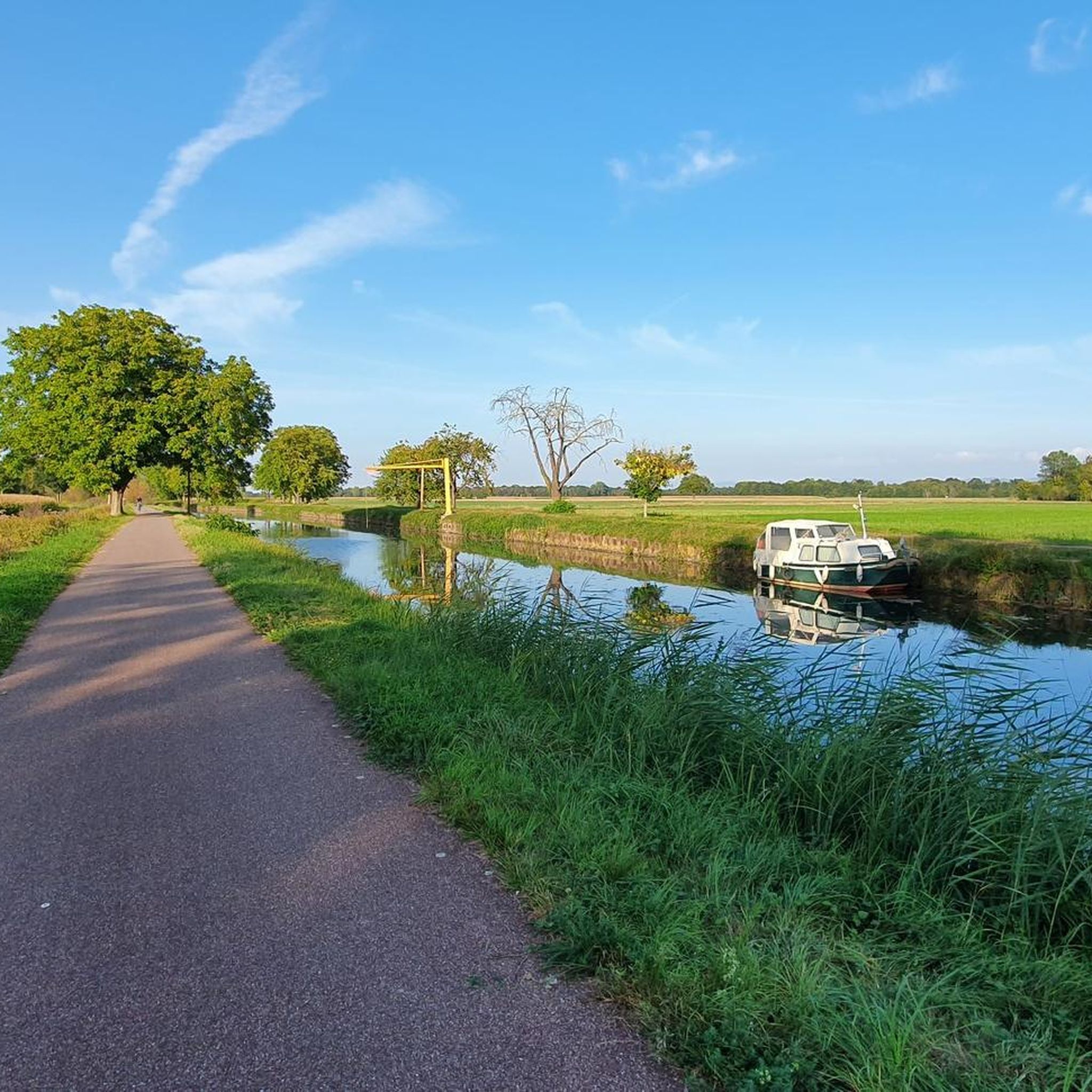
Hiking around Boofzheim offers exploration of the Grand Ried region, characterized by wetlands, forests, and waterways between the Rhine and Ill rivers. The terrain is generally flat, with minimal elevation gain, making it accessible for various fitness levels. Paths often follow the banks of the Canal du Rhône au Rhin, providing easy walking opportunities. This area is known for its riparian ecosystems and natural features.
Best hiking trails around Boofzheim
- The most popular hiking route is Neutold Spring (Schollenrhein) – Brunnwasser Spring loop from Rhinau, a moderate 7.4 miles (12.0 km) trail that takes 3 hours 1 minute to complete. This route explores the riparian forests and waterways near Rhinau.
- Another top favourite among local hikers is Taubergießen Wetlands loop from Rhinau, an easy 4.1 miles (6.7 km) path. It offers views of the unique wetland ecosystem.
- Local hikers also love the Brunnwasser Spring loop from Daubensand, a 3.1 miles (5.0 km) trail leading through the flat, natural landscapes, often completed in about 1 hour 16 minutes.
- Hiking around Boofzheim is defined by wetlands, riparian forests, and the banks of the Rhine and Canal du Rhône au Rhin. The network offers options for different ability levels, from easy strolls to moderate paths.
- The routes in Boofzheim are highly rated by the komoot community with an average score of 4.5 stars from over 1,400 reviews. More than 6,800 hikers have used komoot to explore Boofzheim's varied terrain.
Last updated: June 28, 2026
4.2
(5)
25
hikers
5.01km
01:16
10m
10m
Easy hike. Great for any fitness level. Easily-accessible paths. Suitable for all skill levels.
4.5
(4)
14
hikers
Moderate hike. Good fitness required. Easily-accessible paths. Suitable for all skill levels.

Sign up for free
4.7
(6)
11
hikers
11.2km
02:49
10m
10m
Moderate hike. Good fitness required. Easily-accessible paths. Suitable for all skill levels.
9
hikers
7.25km
01:50
10m
10m
Easy hike. Great for any fitness level. Easily-accessible paths. Suitable for all skill levels.
5.0
(2)
5
hikers
5.44km
01:22
10m
10m
Easy hike. Great for any fitness level. Easily-accessible paths. Suitable for all skill levels.
Get access to more routes and recommendations from other explorers.
Sign up for free
Already have an account?
Our route recommendations are based on thousands of hikes, rides, and runs completed by other people on komoot.
Start today with a free account
Your next adventure awaits.
Login or Signup
Tips from the Community

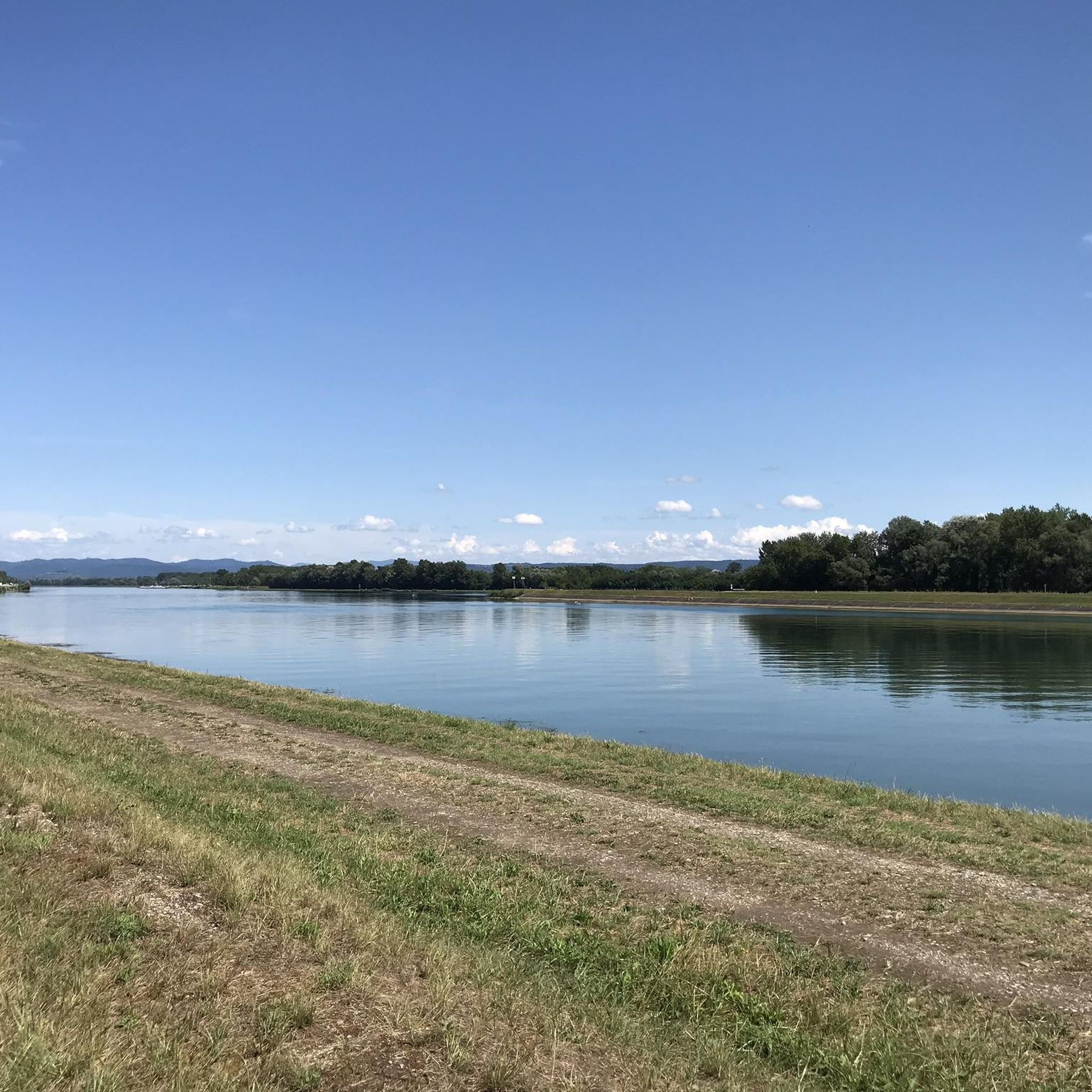
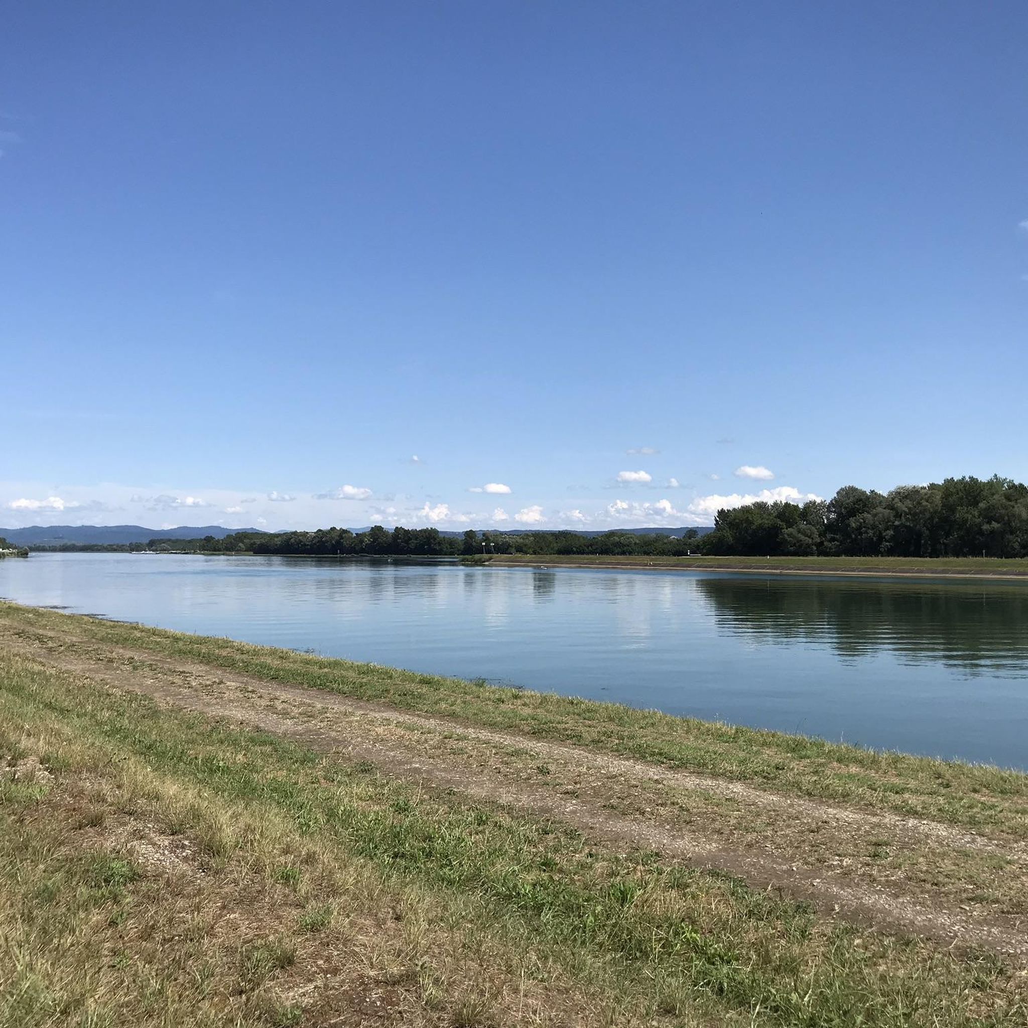
The landscaping of this area is reminiscent of the Taubergießen, which is not too far away.
0
0
I couldn't find out the name of the church, but it had bowls of holy water in the entrance area, so it must be Catholic. Very beautiful church windows (8 in total) that have a special effect depending on the incidence of light.
0
0

Closed, no access available. Interesting point along the way.
0
0


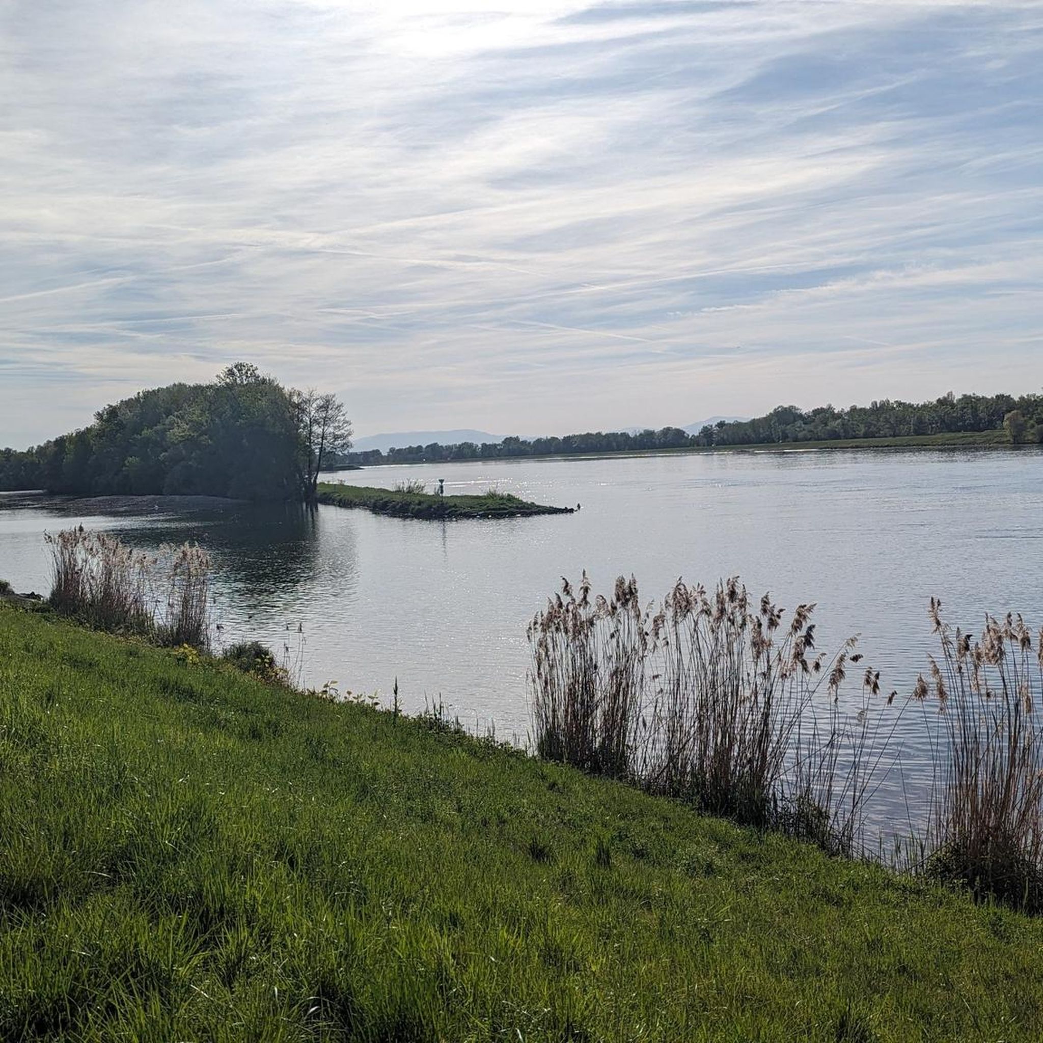
The cycle path runs for miles, often directly along the Rhine, so you have a constant view of the river. Unfortunately, it's not clear what makes the spot marked here a highlight.
0
0


Free ferry to Germany. Bicycles and pedestrians welcome.
2
0
Frequently Asked Questions
How many hiking trails are available around Boofzheim?
There are over 270 hiking routes around Boofzheim, offering a wide range of options for exploring the Grand Ried region. These trails are highly rated by the komoot community, with an average score of 4.5 stars from over 1,400 reviews.
What is the typical terrain like for hiking in Boofzheim?
The terrain around Boofzheim is generally flat, characterized by wetlands, riparian forests, and waterways between the Rhine and Ill rivers. Many paths follow the banks of the Canal du Rhône au Rhin, providing easy and accessible walking opportunities through a serene natural environment.
Are there any family-friendly hiking options in the area?
Yes, many of the trails around Boofzheim are suitable for families due to their generally flat and accessible nature. For example, the Taubergießen Wetlands loop from Rhinau is an easy 4.1-mile path that offers unique wetland views, perfect for a leisurely family outing.
Can I find circular hiking routes near Boofzheim?
Absolutely. Many routes in the area are designed as loops, allowing you to start and end at the same point. A popular circular route is the Brunnwasser Spring loop from Daubensand, which is a 3.1-mile trail through flat, natural landscapes.
What natural attractions or landmarks can I see while hiking?
The region is rich in natural beauty. You can explore the unique Taubergießen Floodplain, discover various lakes like Lake Stegmatten and Apostel Lake, or visit the Blaues Loch Pond in Taubergießen. The Fish Ladder at the Taubergießen Weir is also an interesting man-made feature integrated into the natural environment.
Are there any dog-friendly hiking trails around Boofzheim?
Many of the trails in the Grand Ried region are suitable for walking with dogs, provided they are kept on a leash and you adhere to local regulations, especially in nature reserve areas. The flat terrain and wide paths along the Canal du Rhône au Rhin are generally good options for walks with your canine companion.
What is the best time of year to go hiking in Boofzheim?
Boofzheim offers pleasant hiking conditions throughout much of the year. Spring and autumn provide mild temperatures and beautiful scenery, with vibrant foliage or blooming flora. Summer is also popular, though it can be warmer. The flat terrain makes it accessible even in winter, though some paths might be muddy.
Where can I find parking for hiking trails near Boofzheim?
Parking is generally available at various access points to the trails, particularly in nearby villages like Rhinau and Daubensand, which serve as common starting points for many popular loops. Specific parking information can often be found on individual route descriptions on komoot.
Are there opportunities for longer, more challenging hikes?
While many trails are easy, there are moderate options available. The Neutold Spring (Schollenrhein) – Brunnwasser Spring loop from Rhinau is a moderate 7.4-mile trail that takes about 3 hours to complete, exploring the riparian forests and waterways. For more challenging terrain, the Northern Vosges Regional Nature Park is a bit further afield but offers extensive trails with more elevation.
What do other hikers enjoy most about the trails in Boofzheim?
Hikers frequently praise the serene and natural environment of the Grand Ried region. The area is highly rated by the komoot community, with an average score of 4.5 stars. Reviewers often highlight the peaceful riparian forests, the unique wetland ecosystems, and the well-maintained paths along the Canal du Rhône au Rhin.
Can I reach hiking trails near Boofzheim using public transport?
Public transport options to Boofzheim and surrounding villages exist, which can provide access to various trailheads. It's advisable to check local bus schedules for connections to specific starting points in villages like Rhinau or Daubensand, especially if you plan to rely solely on public transport.
Are there any cafes or places to eat near the hiking routes?
Boofzheim and the nearby villages like Rhinau and Daubensand offer local establishments where you can find refreshments or a meal before or after your hike. It's a good idea to check opening hours, especially in smaller villages, or pack snacks and water for longer excursions.
Is there a significant nature reserve nearby worth visiting?
Yes, the Rohrschollen Nature Reserve, located approximately 27-33 km from Boofzheim, is a significant natural attraction. This reserve protects a valuable floodplain forest ecosystem along the Rhine, offering rich biodiversity and tranquil walking paths for those willing to venture a short distance.
Most popular routes around Boofzheim
Most popular attractions around Boofzheim

Get inspired with the komoot mobile app


Explore more
Browse the best Hikes in other regions.
