The best road cycling routes around Sondernach
4.5
(543)
17,112
riders
107
rides
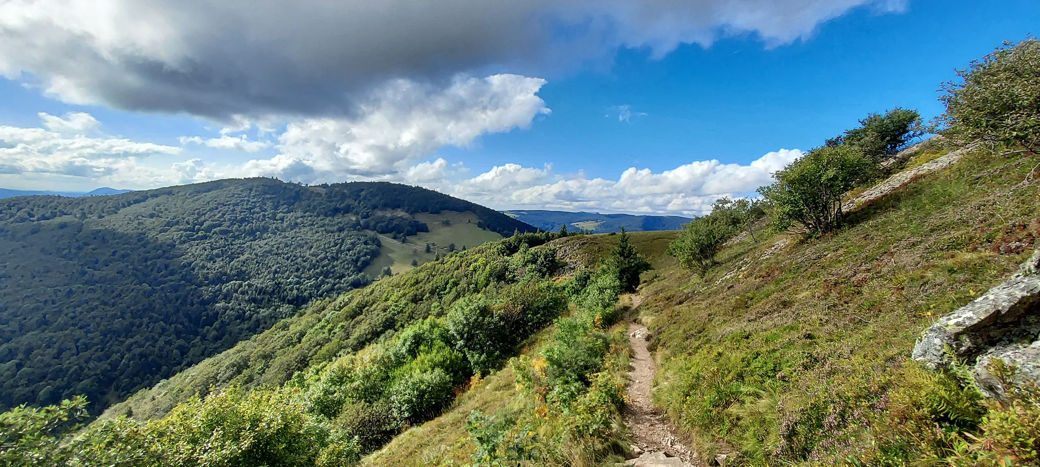
Road cycling routes around Sondernach are characterized by the mountainous terrain of the Vosges, offering significant elevation changes and scenic views. The region features a mix of forested slopes, open mountain passes, and winding valley roads. Road cyclists can expect challenging climbs and rewarding descents through a landscape shaped by ancient geological formations. The area provides a diverse environment for road cycling, from high-altitude passes to routes along river valleys.
Best road cycling routes around Sondernach
- The most popular road…
Last updated: October 21, 2026
5.0
(2)
86
riders
26.6km
01:44
800m
800m
Moderate road ride. Good fitness required. Mostly well-paved surfaces and easy to ride.
5.0
(1)
44
riders
16.3km
01:11
620m
620m
Moderate road ride. Good fitness required. Mostly well-paved surfaces and easy to ride.

59
riders
Moderate road ride. Good fitness required. Mostly well-paved surfaces and easy to ride.
41
riders
24.7km
01:26
600m
600m
Moderate road ride. Good fitness required. Mostly well-paved surfaces and easy to ride.
28
riders
65.1km
03:08
470m
470m
Moderate road ride. Good fitness required. Some segments of this route may be unpaved and difficult to ride.
Get access to more routes and recommendations from other explorers.
Already have an account?
Our route recommendations are based on thousands of hikes, rides, and runs completed by other people on komoot.
Start today with a free account
Your next adventure awaits.


Other adventures around Sondernach

Tips from the Community

The Véloroute Vignoble VV21 (Voie Verte), "Véloroute de la Vallée de Munster", Munster Valley section, connects Colmar-Wintzenheim to Metzeral over a length of about 28 km. The route runs along the valley floor, the Fecht river, and the railway line. It is a very easy route to ride, which is ideal for families.
0
0


More information also here: https://www.quaeldich.de/paesse/col-du-platzerwasel/
0
0


Mezeral is a charming town with an excellent local cuisine.
0
0
The cycle path from Eguisheim to Wettolsheim is on the Euro Vélo 5 (EV 5) route, as well as on the Véloroute Vignoble VV11. It runs parallel to the departmental road D83. In the village of Eguisheim, it is best to take the outer ring on the D514, the Rue du Traminer, until the dead-end street on the right, the Rue de Colmar, which you turn into. You continue straight ahead and are now on the EV5 or VV11. The path is well signposted. If after a short distance you see the Antonine Stoffel winery on your left, you are on the right track. Shortly after, you leave Eguisheim and the cycle path climbs slightly over a vineyard. On the descent, continue straight ahead, and you will already see Wettolsheim.
0
0
The break with the Münsterland cheese was absolutely fantastic! It was so delicious 😋 #Break #Cheese #Treat #Enjoyment
0
0

Pretty little village, ideal for hiking starting and finishing points, as there is a train station.
1
0
Frequently Asked Questions
How many road cycling routes are available around Sondernach?
There are over 100 road cycling routes around Sondernach, offering a diverse range of experiences. These routes are rated by the komoot community with an average score of 4.6 stars.
Are there easy road cycling routes suitable for beginners in Sondernach?
While the Vosges region around Sondernach is known for its mountainous terrain and challenging climbs, there are 13 routes classified as easy. These routes typically feature less elevation gain, making them more accessible for those new to road cycling or looking for a more relaxed ride.
Where can I find challenging road bike climbs in Sondernach?
Sondernach is an excellent destination for challenging road bike climbs, with the Vosges mountains providing significant elevation changes. Routes like the Climb Platzerwasel beginns – Steepest Kilometer on D27 loop from Sondernach are known for their demanding ascents, including a particularly steep kilometer on the D27 road. Another option is the View over the Vosges – Breitfirst Pass loop from Metzeral, which features a substantial climb to the Breitfirst Pass.
What kind of terrain can I expect on road cycling routes in Sondernach?
Road cycling routes around Sondernach are characterized by the mountainous terrain of the Vosges. You can expect a mix of forested slopes, open mountain passes, and winding valley roads. The landscape features challenging climbs and rewarding descents, shaped by ancient geological formations.
Are there any loop routes for road cycling around Sondernach?
Yes, many road cycling routes in Sondernach are designed as loops, allowing you to start and finish in the same location. Examples include the Climb Platzerwasel beginns – Petit Ballon Pass (1,163 m) loop from Sondernach and the Metzeral Town Hall – Braunkopf loop from Mittlach.
What do other road cyclists say about the routes in Sondernach?
The road cycling routes in Sondernach are highly rated by the komoot community, with an average score of 4.6 stars from over 360 reviews. Cyclists often praise the challenging climbs, panoramic views from mountain passes, and the diverse forested landscapes.
What attractions can I see along the road cycling routes in Sondernach?
While cycling, you can encounter various attractions. The region features several mountain passes like the Boenlesgrab Pass. You might also find charming farm inns such as Kahlenwasen Farm Inn or the Ferme Auberge du Frankenthal. For scenic views, look for spots like the View of Lake Schiessrothried, and you can also pass by beautiful lakes such as Green Lake or Lake Schiessrothried.
Are there any viewpoints along the road cycling routes?
Yes, the mountainous nature of the Vosges provides numerous viewpoints. Routes often lead to high-altitude passes like Breitfirst Pass, offering panoramic views of the surrounding mountains and valleys. You can also find specific viewpoints such as the View of Lake Schiessrothried.
What is the best season for road biking in Sondernach?
The best season for road biking in Sondernach is typically from late spring to early autumn (May to October). During these months, the weather is generally more stable, and mountain passes are clear of snow, providing optimal conditions for cycling. Always check the local weather forecast before heading out.
Are there any routes that include the Petit Ballon Pass?
Yes, the Climb Platzerwasel beginns – Petit Ballon Pass (1,163 m) loop from Sondernach is a popular route that takes you through mountain passes and forested areas, including the Petit Ballon Pass.
What is the typical distance and elevation gain for road cycling routes in Sondernach?
Routes vary significantly in distance and elevation. For example, the View over the Vosges – Breitfirst Pass loop from Metzeral is 16.5 miles (26.6 km) with nearly 800 meters of elevation gain, while the Steepest Kilometer on D27 – Climb Platzerwasel beginns loop from Col du Platzerwasel is 8.9 miles (14.3 km) with over 580 meters of elevation gain. You'll find options ranging from moderate to very challenging.
Most popular routes around Sondernach
Most popular attractions around Sondernach

Get inspired with the komoot mobile app


Explore more
Browse the best Road cycling routes in other regions.
