The best road cycling routes around Cherrueix
4.1
(65)
1,679
riders
163
rides
Road cycling routes around Cherrueix are characterized by the flat, coastal terrain of the Bay of Mont Saint-Michel, a UNESCO World Heritage site. The region features extensive polders, salt marshes, and the historic Digue de la Duchesse-Anne, an ancient dike providing mostly paved and level surfaces for cycling. This landscape offers panoramic views of the bay and Mont Saint-Michel, with minimal elevation gain suitable for various fitness levels.
Best road cycling routes around Cherrueix
- The most popular road cycling route…
Last updated: August 30, 2026
10
riders
46.8km
01:59
280m
280m
Easy road ride. Great for any fitness level. Mostly well-paved surfaces and easy to ride.
5.0
(3)
103
riders
96.7km
04:42
310m
310m
Moderate road ride. Good fitness required. Some segments of this route may be unpaved and difficult to ride.

Sign up for free
8
riders
51.3km
02:07
360m
360m
Moderate road ride. Good fitness required. Mostly well-paved surfaces and easy to ride.
6
riders
46.0km
01:57
210m
210m
Moderate road ride. Great for any fitness level. Some segments of this route may be unpaved and difficult to ride.
6
riders
Moderate road ride. Great for any fitness level. Some segments of this route may be unpaved and difficult to ride.
Get access to more routes and recommendations from other explorers.
Sign up for free
Already have an account?
Our route recommendations are based on thousands of hikes, rides, and runs completed by other people on komoot.
Start today with a free account
Your next adventure awaits.
Login or Signup

Tips from the Community

Mont-Saint-Michel is a world-famous rocky island and commune on the border between Normandy and Brittany in France. Crowned by a monumental, medieval Benedictine abbey, this architectural marvel has been a UNESCO World Heritage site since 1979. The bay of the mount is also known for Europe's strongest tides, with a tidal range of up to 14 meters.
1
0

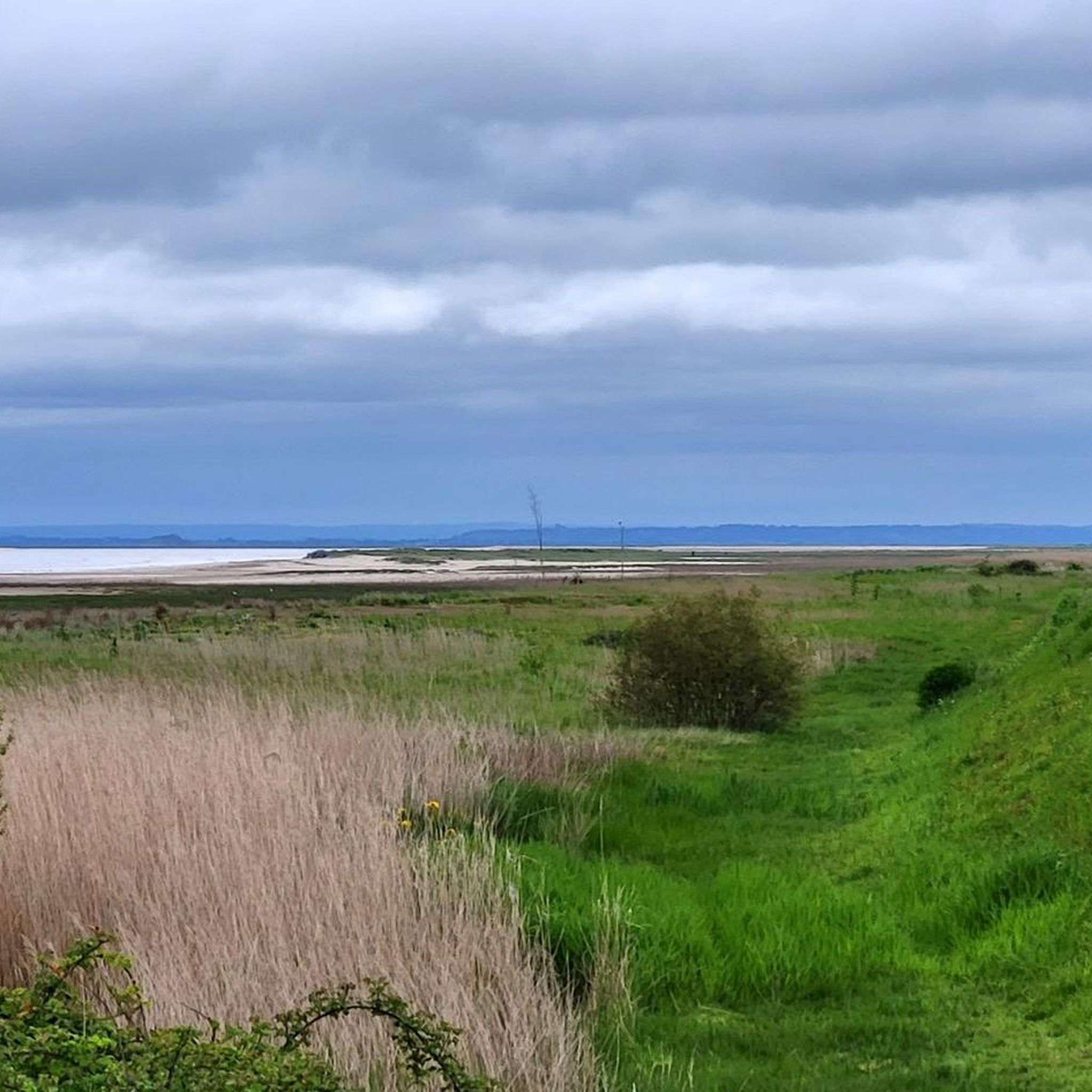
The footpath along the Couesnon to the dam already offers an impressive view of Mont-Saint-Michel. From here, the path with an unobstructed view leads across the salt marshes and the bay, with the landmark of Normandy impressively rising against the wide landscape. Especially in calm weather and with changing light, atmospheric views emerge of Mont-Saint-Michel, the course of the Couesnon river, and the tide-shaped surroundings.
11
0
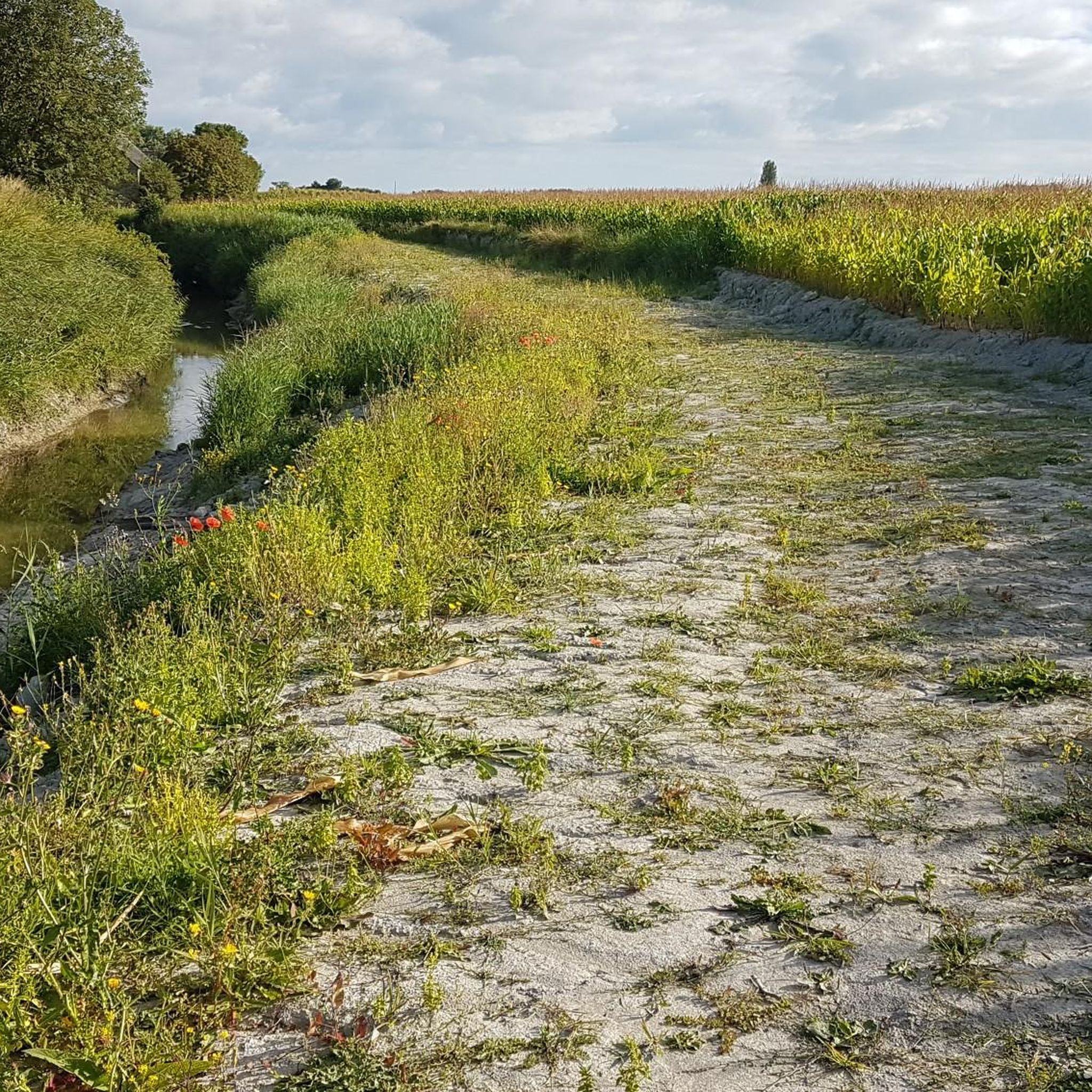
The Couesnon dam (Barrage du Couesnon) was completed in 2009 and is part of the measures to preserve the bay of Mont-Saint-Michel. The facility regulates the water flow of the Couesnon and supports the natural removal of sediments by the tides. This is intended to counteract the increasing silting up of the bay and preserve the special character of Mont-Saint-Michel as a tidal island. The dam also offers a popular viewpoint with a view of Mont-Saint-Michel and the surrounding salt marshes.
1
0
The city's development was primarily shaped by fishing, seafaring, and oyster farming. As early as the Middle Ages, oysters from Cancale were known beyond the region and later became an important economic sector. The port of La Houle developed into the center of maritime life. Today, Cancale, with its coastal landscape, port facilities, and vibrant oyster tradition, recalls its long history as a fishing and port town.
14
0


From there it looks the strongest !!!
1
0

Practice for going to the train station
0
0

This is all about oysters. The bay is full of oyster beds, which are immediately consumed at the harbor.
0
0
Frequently Asked Questions
What is the general terrain like for road cycling around Cherrueix?
The region around Cherrueix is characterized by its flat, coastal terrain within the Bay of Mont Saint-Michel. You'll find extensive polders, salt marshes, and the historic Digue de la Duchesse-Anne, which provides mostly paved and level surfaces. This landscape offers panoramic views with minimal elevation gain, making it suitable for various fitness levels.
How many road cycling routes are available in Cherrueix?
There are over 160 road cycling routes available around Cherrueix, catering to a wide range of abilities. This includes 36 easy routes, 123 moderate routes, and 10 more challenging options.
Are there family-friendly road cycling routes in Cherrueix?
Yes, the generally flat terrain and numerous easy routes make Cherrueix a great destination for family-friendly road cycling. Routes like the Cherrueix Pleine-Fougères loop are ideal for a relaxed ride, offering scenic views of the marshes and polders without significant climbs.
What kind of natural features can I expect to see while cycling in Cherrueix?
Road cycling in Cherrueix offers unique natural features. You'll experience the vast tidal flats and dynamic landscape of the Bay of Mont Saint-Michel, a UNESCO World Heritage site. The ancient Digue de la Duchesse-Anne provides views of marshes and polders, and you might even spot the unique 'Banc of Hermelle,' a sandy reef formed by marine worms.
Are there any circular road cycling routes in the area?
Many of the road cycling routes around Cherrueix are designed as loops, allowing you to start and end in the same location. For example, the Bay of Mont-Saint-Michel – Pointe de la Roche Froide loop from Le Vivier-sur-Mer offers a moderate coastal ride that brings you back to your starting point.
What landmarks or attractions can I visit along the road cycling routes?
Several interesting landmarks are accessible from the cycling routes. You can pass by the historic Moulin de la Saline, the serene Chapelle Sainte-Anne-de-la-Grève, or cycle along the impressive Duchesse Anne dike. The world-famous Mont Saint-Michel is also a prominent feature in the bay, often visible from many routes.
What do other road cyclists say about the routes in Cherrueix?
The road cycling routes in Cherrueix are highly rated by the komoot community, with an average score of 4.2 stars from over 40 reviews. More than 1,700 road cyclists have explored the area, often praising the panoramic views of the bay and the mostly flat, well-maintained paths.
Are there opportunities for café stops or refreshments along the routes?
Yes, many routes offer opportunities for café stops. For instance, the Café-pause opportunity! – Coast to 12 loop from Réserve de la Chapelle Sainte-Anne explicitly highlights a refreshment stop, and the coastal villages often have establishments catering to cyclists.
What is the best time of year for road cycling in Cherrueix?
The region is generally pleasant for road cycling from spring through autumn. The mild coastal climate means that even outside peak summer, conditions can be favorable. Spring and early autumn offer comfortable temperatures and fewer crowds, while summer provides longer daylight hours.
Is there public transport access to the road cycling routes in Cherrueix?
While Cherrueix itself is a small village, public transport options in the wider region can connect you to starting points for routes. For example, some routes might be accessible from larger towns like Dol-de-Bretagne, which has train connections. It's advisable to check local bus or train schedules for specific access points.
Where can I find parking for road biking in Cherrueix?
Parking is generally available in Cherrueix village and at various starting points for routes along the coast or in nearby towns. Look for designated parking areas near beaches, village centers, or trailheads, which are usually well-indicated.
Are there any longer, more challenging road cycling routes for experienced riders?
While the region is known for its flat terrain, there are longer routes that offer a greater challenge through distance. The Saint-Malo Intra-Muros – The Bay of Mont-Saint-Michel loop from Le Vivier-sur-Mer, for example, is a 58-mile (93.4 km) route that provides an extensive ride through the bay, often taking over four hours to complete.
Most popular attractions around Cherrueix

Get inspired with the komoot mobile app


Explore more
Browse the best Road cycling routes in other regions.
