The best cycling routes around Doizieux
4.4
(340)
4,049
riders
22
rides
Touring cycling around Doizieux offers routes through the varied landscapes of the Pilat Regional Natural Park. The region is characterized by "Crêts" (crests) and "Chirats" (rocky areas), providing diverse terrain. Routes often feature significant elevation changes, leading through forests and offering panoramic views across the Rhône Valley. Doizieux itself is set amidst hills, with a small lake and stream contributing to its natural setting.
Best touring cycling routes around Doizieux
- The most popular touring cycling route is Dromedary – Start…
Last updated: July 1, 2026
5.0
(1)
32
riders
24.8km
02:24
790m
790m
Hard bike ride. Very good fitness required. Mostly paved surfaces. Suitable for all skill levels.
4.9
(7)
60
riders
48.0km
03:21
870m
870m
Hard bike ride. Very good fitness required. Mostly paved surfaces. Suitable for all skill levels.

Sign up for free
19
riders
27.5km
02:47
870m
870m
Hard bike ride. Very good fitness required. Mostly paved surfaces. Suitable for all skill levels.
18
riders
Hard bike ride. Very good fitness required. Mostly paved surfaces. Suitable for all skill levels.
14
riders
31.9km
03:25
1,040m
1,040m
Hard bike ride. Very good fitness required. You may need to push your bike for some segments of this route.
Get access to more routes and recommendations from other explorers.
Sign up for free
Already have an account?
Our route recommendations are based on thousands of hikes, rides, and runs completed by other people on komoot.
Start today with a free account
Your next adventure awaits.
Login or Signup
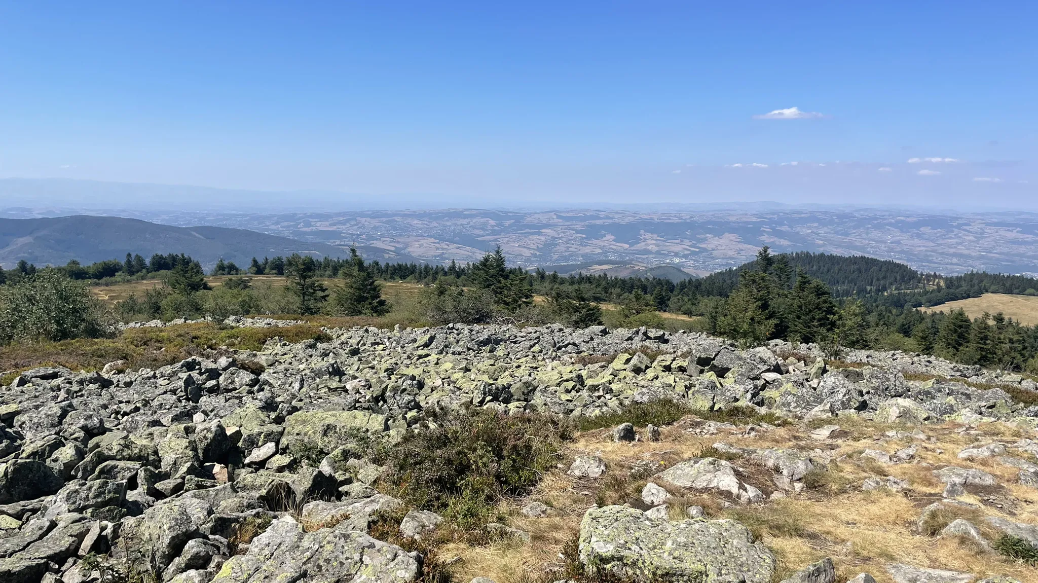
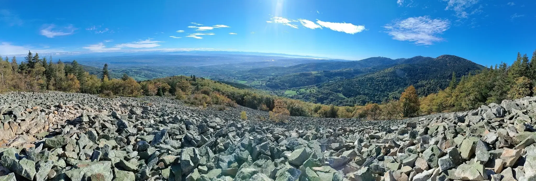
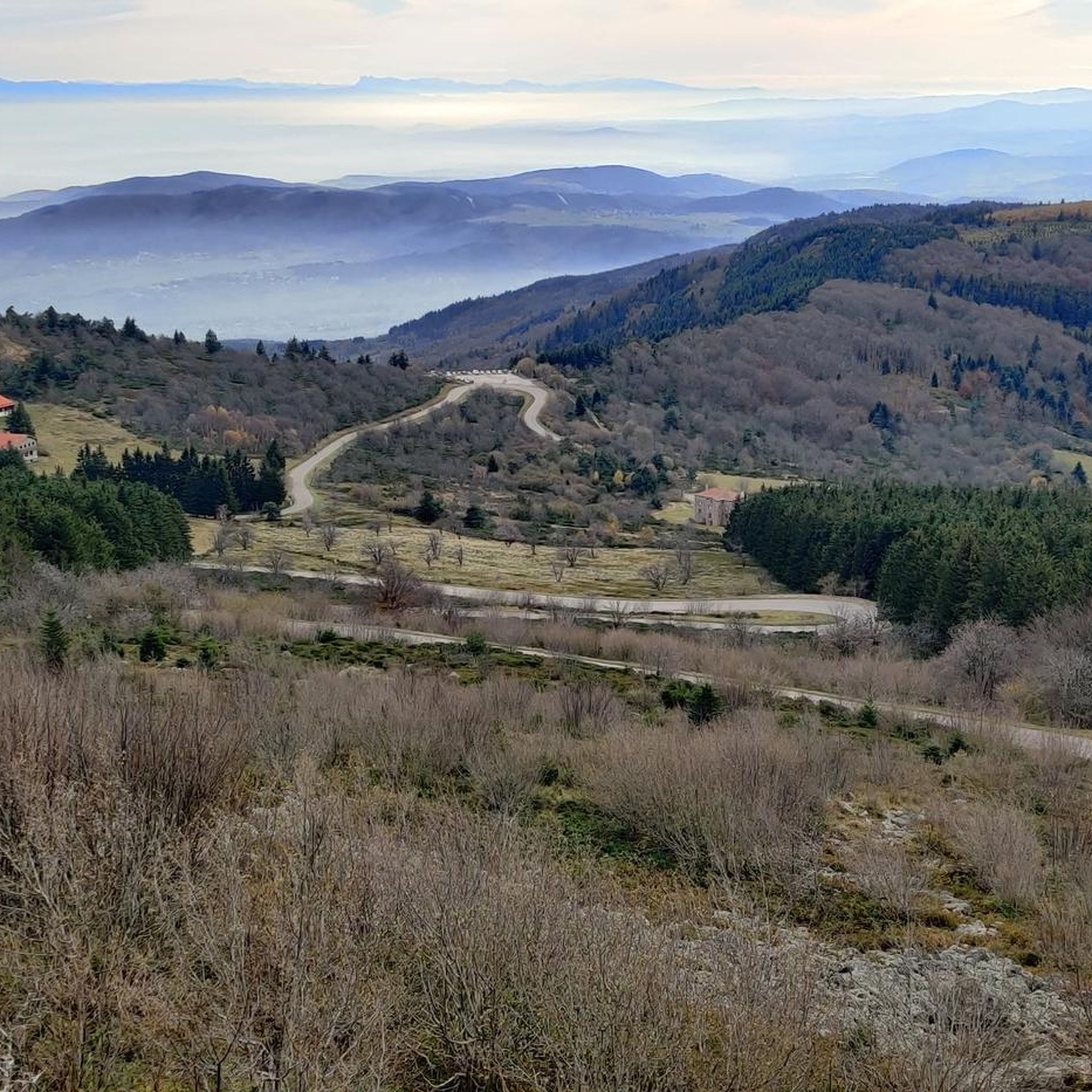
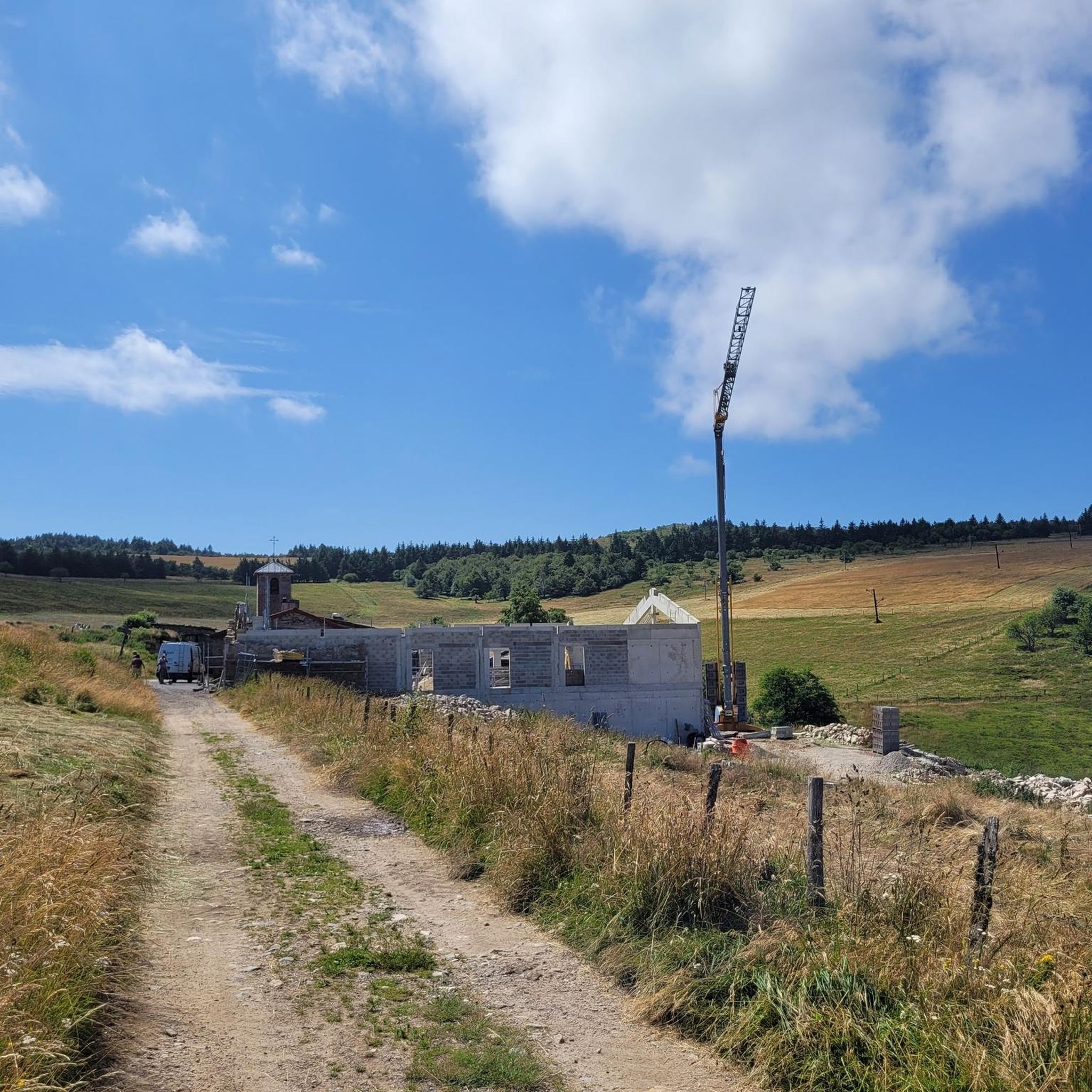


Tips from the Community

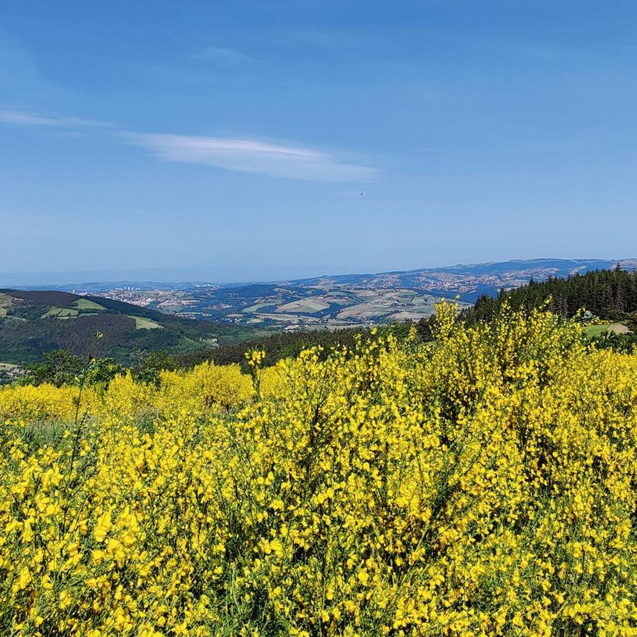
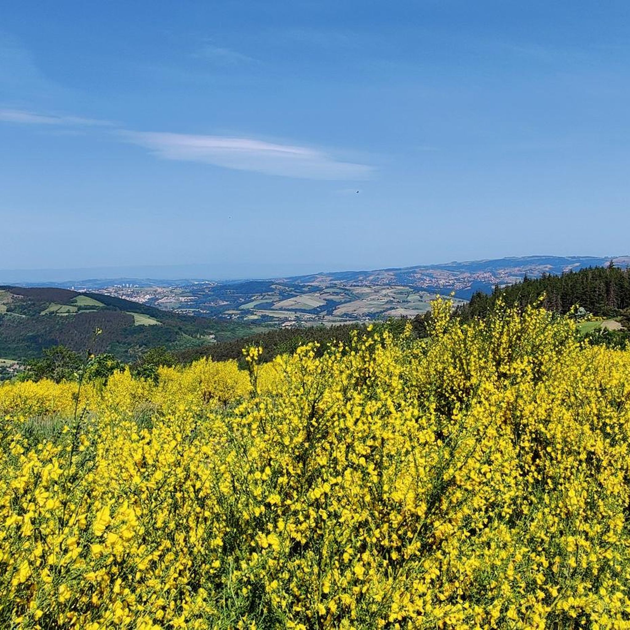
The Col de Pavezin is certainly not the highest, but it is no less mythical. The inventor of the derailleur, Paul de Vivié, who settled here, made it an unmissable rendezvous. The pass is located between the Rhône valley and the Gier valley, and opens up a grandiose panorama of the Alps and the Rhône furrow.
0
0

Arrival at 1361m!: wind 😉
0
0

The water in the fountain is super fresh, very beautiful view and good refuge
0
0

THE crossroads of all the walks in the area, with the little refreshing break at the inn, it's perfect (change of owner in progress, for the moment it is closed)
0
0


Official pass referenced, possibility of continuing to the Col de l'Oeillon.
0
0
Frequently Asked Questions
How many touring cycling routes are available around Doizieux?
There are over 20 touring cycling routes around Doizieux, primarily within the Pilat Regional Natural Park. These include 1 easy route, 2 moderate routes, and 19 difficult routes, offering diverse challenges for cyclists.
What kind of terrain can I expect on touring cycling routes in Doizieux?
The terrain around Doizieux is characterized by "Crêts" (crests) and "Chirats" (rocky areas) within the Pilat Regional Natural Park. You can expect significant elevation changes, routes winding through forests, and panoramic views across the Rhône Valley. The region offers a varied landscape from valleys to crests.
Are there any family-friendly touring cycling routes in Doizieux?
While many routes in Doizieux are rated as difficult due to significant elevation changes, there is at least one easy touring cycling route available. For families, it's advisable to check the specific route details on komoot to ensure it matches the group's ability and preferences.
What are some notable natural features or viewpoints along the cycling routes?
The region offers stunning natural features and viewpoints. You can experience the "Crêts" (crests) of the Pilat, offering panoramic views across the Rhône Valley. On clear days, you might even catch a glimpse of Mont Blanc. The Col de l'Œillon (1233 m) is a significant mountain pass and viewpoint. The Croix du Collet – View of a chirat loop from Doizieux route specifically highlights a 'chirats' view.
Are there any circular touring cycling routes starting from Doizieux?
Yes, several routes are designed as loops starting from Doizieux. For example, the challenging Dromedary – Start of Col de l'Oeillon loop from Doizieux is a popular option, as is the Crêt de l'Oeillon – Col de l'Œillon (1233 m) loop from Doizieux.
What do other touring cyclists enjoy most about cycling in Doizieux?
The touring cycling routes in Doizieux are highly rated by the komoot community, with an average score of 4.9 stars from over 10 reviews. Cyclists often praise the varied terrain, the challenging climbs, and the rewarding panoramic views across the Rhône Valley and the Pilat Regional Natural Park.
Are there any lakes or dams to see near the cycling routes?
Yes, the region features several lakes and dams. You can find highlights such as the Rive dam spillway, Couzon Dam, and Soulages Dam. The village of Doizieux itself is set amidst hills and features a small lake at its entrance.
What is the best time of year to go touring cycling in Doizieux?
The Pilat Regional Natural Park, where Doizieux is located, offers diverse landscapes that are enjoyable across seasons. However, given the significant elevation changes and potential for snow on higher 'Crêts' in winter, spring through autumn generally provides the most favorable weather conditions for touring cycling.
Are there any specific landmarks or historical sites to explore near the cycling paths?
Beyond natural beauty, the village of Doizieux retains its charm with traditional stone houses and a belfry perched on a rocky outcrop. Nearby, the commune of Sainte-Croix-en-Jarez serves as a "gateway to the Pilat" and is known for its preserved natural sites and rich religious heritage. You might also encounter the Chaubouret Cross.
Can I find routes that offer views of the Gorges de la Loire?
While Doizieux is within the Loire department, routes directly offering views of the Gorges de la Loire might require venturing slightly further afield. However, the region's elevated points, such as the 'Crêts', provide extensive panoramic views that can encompass distant features of the wider Loire landscape.
Is there a route that leads to Crêt de la Perdrix?
Yes, there is a challenging route that includes Crêt de la Perdrix. The La Jasserie Refuge – Crêt de la Perdrix loop from La Terrasse-sur-Dorlay is a difficult 33.3 km path with over 1000 meters of elevation gain, offering access to this notable peak.
Are there any routes that pass through the Pilat Regional Natural Park?
Absolutely, all touring cycling routes around Doizieux are situated within or offer access to the Pilat Regional Natural Park. For instance, the Faucharat Viewpoint – Col de la Croix du Planil loop from La Terrasse-sur-Dorlay leads directly through the park, showcasing its diverse landscapes.
Most popular attractions around Doizieux

Get inspired with the komoot mobile app


Explore more
Browse the best Cycling routes in other regions.
