The best cycling routes around Lalaye
4.4
(277)
2,563
riders
155
rides
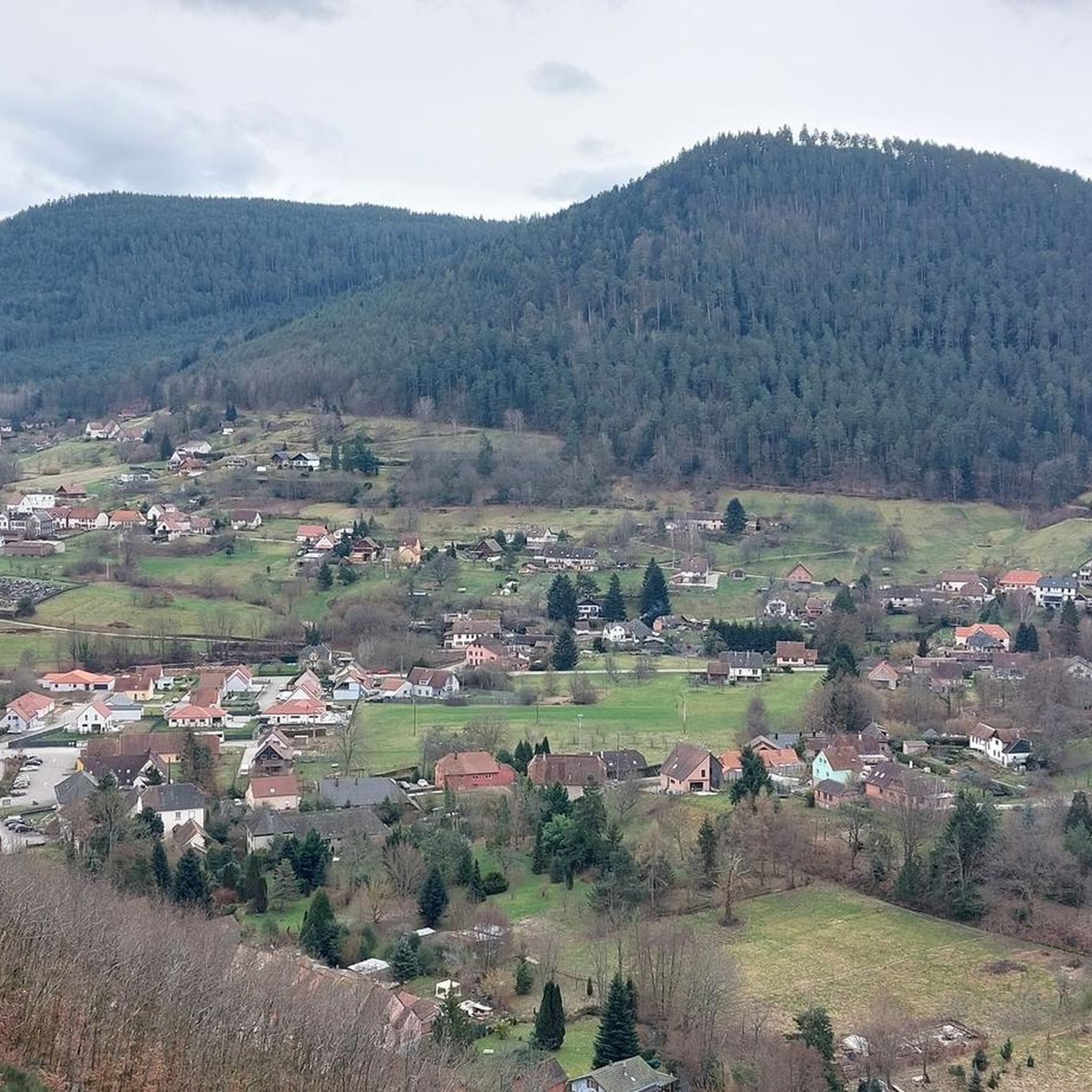
Touring cycling around Lalaye offers routes through the diverse landscapes of the Vosges mountains and the Alsace plain. The region is characterized by dense forests, elevated terrain, and scenic mountain passes. Notable features include the Champ du Feu, the highest point in the Bas-Rhin, providing panoramic views. This geography presents varied challenges and experiences for touring cyclists.
Best touring cycling routes around Lalaye
- The most popular touring cycling route is Bike route in forest – 20% Gradient Warning Sign loop…
Last updated: July 5, 2026
16
riders
40.4km
03:47
1,020m
1,020m
Hard bike ride. Very good fitness required. Mostly paved surfaces. Suitable for all skill levels.
5.0
(2)
12
riders
21.6km
01:25
230m
230m
Moderate bike ride. Good fitness required. Mostly paved surfaces. Suitable for all skill levels.

Sign up for free
5.0
(3)
9
riders
65.2km
03:56
350m
350m
Moderate bike ride. Good fitness required. Mostly paved surfaces. Suitable for all skill levels.
5.0
(1)
12
riders
33.4km
02:06
370m
370m
Moderate bike ride. Good fitness required. Mostly paved surfaces. Suitable for all skill levels.
3.0
(1)
7
riders
40.6km
02:59
590m
590m
Hard bike ride. Very good fitness required. You may need to push your bike for some segments of this route.
Get access to more routes and recommendations from other explorers.
Sign up for free
Already have an account?
Our route recommendations are based on thousands of hikes, rides, and runs completed by other people on komoot.
Start today with a free account
Your next adventure awaits.
Login or Signup

Tips from the Community

Very nice town center
0
0

Pretty good description on the Alsace bike tour
1
0


Coffee is also available. You can sit inside or outside.
1
0

This section of the cycle path, which follows the Vélo Bruche route, unfolds in a very pleasant setting shaded by the trees. Whether in autumn or in the summer heat, the setting remains utterly authentic.
1
0


Located on the Alsace Wine Route about 6km from Sélestat, Scherwiller, the capital of Riesling, stands proudly in the heart of Piedmont. Renowned for its wines, particularly Riesling, Scherwiller has 370 hectares of vineyards, which places the village in the top three of the largest municipalities in the Bas-Rhin department in terms of wine-growing area. Come and meet the winegrowers who are passionate about their profession and who will pass on their know-how and offer you a tasting of their best vintage. The village is crossed by the Aubach, a river dotted with a hundred wash houses. The site listed since December 4, 1969 is worth a visit for a dive into history. Stroll along its quays, cross the small stone bridges and stop to discover the remains of the old wash houses where the washerwomen came to wash their clothes. In the summer, these wash houses come back to life in the theatre show on Rue des Lavandières, where scenes from rural village life are performed, in French and Alsatian. Along the Aubach, admire the typical half-timbered houses, dating from the 16th, 17th, 18th and 19th centuries. Beautifully coloured, they are generally half-timbered for the upper floors and made of cut stone on the ground floor. A mixture of tradition and modernity that will amaze you.
0
0

Very pretty little village with the highest density of winemakers in the region!
2
0
Frequently Asked Questions
What kind of terrain can I expect when touring cycling around Lalaye?
Lalaye is situated between the Vosges mountains and the Alsace plain, offering a diverse landscape. You'll encounter routes through dense forests, elevated terrain, and scenic mountain passes. The region is characterized by rugged mountainous areas, including the Champ du Feu, the highest point in the Bas-Rhin, providing panoramic views.
How many touring cycling routes are available in the Lalaye area?
There are over 170 touring cycling routes around Lalaye. These routes cater to various skill levels, with 17 easy, 50 moderate, and 104 difficult options, ensuring there's a suitable ride for most cyclists.
Are there any family-friendly touring cycling routes near Lalaye?
Yes, Lalaye offers several routes suitable for families. While many routes feature challenging gradients, there are 17 easy routes available. For a moderate option that is not overly long, consider the Bike loop from Saint-Martin, which is 21.6 km long and takes about 1 hour 24 minutes.
What are some notable landmarks or viewpoints I can see along the touring cycling routes?
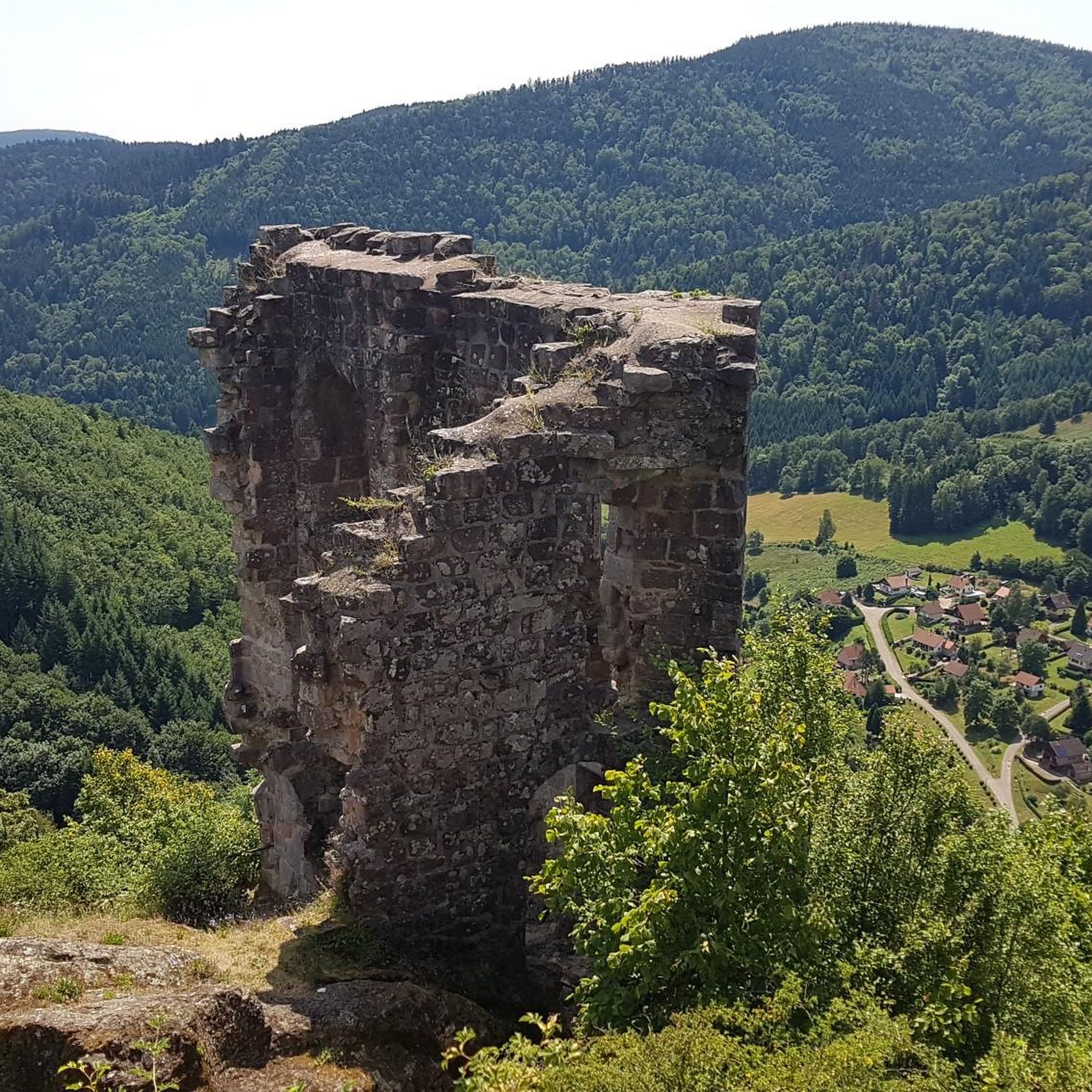
The routes around Lalaye offer access to several significant landmarks and viewpoints. You can ascend towards the Champ du Feu for extensive mountain views. Other points of interest include the Charbonnière Pass, Col de Steige, and various castles like Frankenbourg Castle and Château de Thanvillé (Schlossacker).
What do other touring cyclists think about the routes in Lalaye?
The touring cycling routes in Lalaye are highly regarded by the komoot community, holding an average rating of 4.4 stars from over 200 reviews. Cyclists often praise the varied terrain, the challenging mountain passes, and the stunning views over the Alsace plain and Vosges mountains.
Are there any circular touring cycling routes available?
Yes, many touring cycling routes around Lalaye are designed as loops. For example, the Bike route in forest – 20% Gradient Warning Sign loop from Lalaye is a popular 37.5 km circular trail. Another challenging option is the Charbonnière Pass – Champ du Feu loop from Saint-Martin.
What is the best time of year for touring cycling in Lalaye?
The region is best enjoyed from spring through autumn. During these seasons, the weather is generally more favorable for cycling, and the natural beauty of the Vosges mountains and forests is at its peak. Winter cycling can be challenging due to snow and colder temperatures, especially at higher elevations like the Champ du Feu.
Can I find routes that offer significant climbs and descents?
Absolutely. Lalaye is known for its elevated terrain and mountain passes, making it ideal for cyclists seeking significant climbs and descents. Routes like the Climont – Urbeis Pass loop from Saint-Martin feature over 1000 meters of elevation gain, providing a challenging experience.
Are there any routes that offer views of the Alsace Wine Route?
While Lalaye itself is not directly on the Alsace Wine Route, its strategic location provides easy access to it. Cycling routes in the area can be combined with excursions to picturesque villages like Mittelbergheim, Hunawihr, Riquewihr, and Eguisheim, allowing you to experience the famous wine region and its charming half-timbered houses.
What kind of natural features can I expect to see on the routes?
The routes around Lalaye traverse dense forests, offering a tranquil cycling experience. You'll also encounter the rugged landscapes of the Vosges mountains, including peaks like the Honel ridge and Blanc-Noyer, providing a rich diversity of flora and fauna.
Are there any moderate touring cycling routes for those looking for a less strenuous ride?
Yes, there are 50 moderate touring cycling routes available. A good example is the Col de Steige – View of Steige loop from Saint-Martin, which is 28.2 km long and takes about 1 hour 54 minutes, leading through mountain passes without extreme difficulty.
What are the typical starting points for touring cycling routes in the area?
Many routes start from Lalaye itself or nearby villages such as Saint-Martin. These locations often provide convenient access to the trailheads and local amenities.
Most popular attractions around Lalaye

Get inspired with the komoot mobile app


Explore more
Browse the best Cycling routes in other regions.
