The best walks and hikes around Vaux-Sur-Seine
4.4
(638)
3,780
hikers
15
hikes
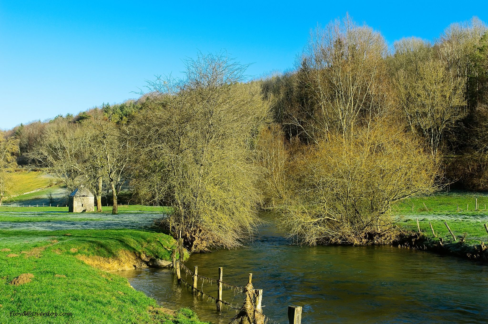
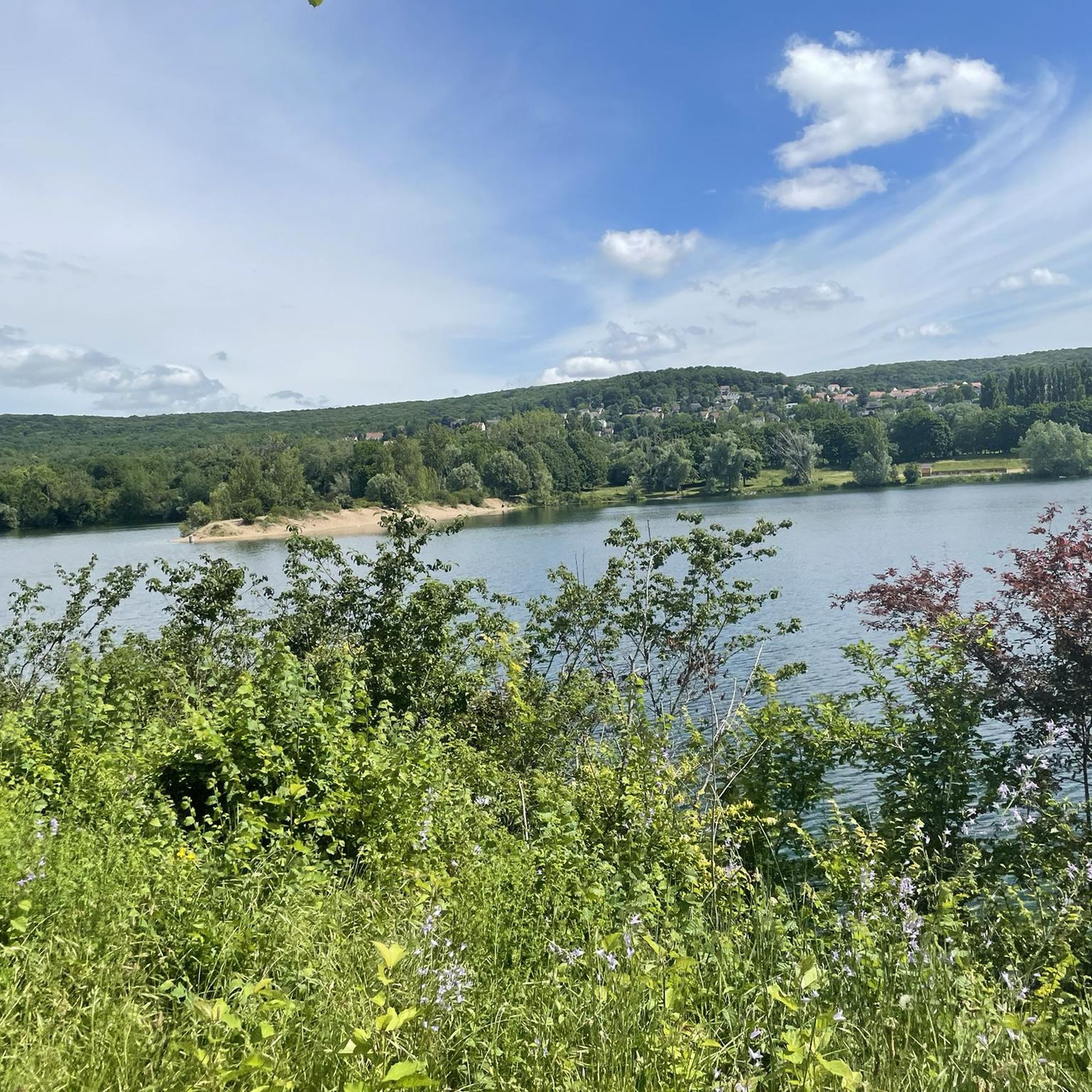
Hiking around Vaux-Sur-Seine offers a diverse landscape characterized by the dense woodlands of the Forêt Domaniale de l'Hautil and scenic paths along the Seine river valley. The region features gentle hillsides and historical points of interest, providing varied terrain for outdoor exploration. These natural features make Vaux-Sur-Seine a suitable location for a range of hiking trails.
Best hiking trails around Vaux-Sur-Seine
- The most popular hiking route is Hautil Pond – Forêt Domaniale de l'Hautil loop from Vaux-sur-Seine, a 8.7…
Last updated: July 5, 2026
4.3
(8)
19
hikers
14.1km
03:57
270m
270m
Moderate hike. Good fitness required. Easily-accessible paths. Suitable for all skill levels.
5.0
(2)
21
hikers
18.1km
05:02
330m
330m
Hard hike. Very good fitness required. Easily-accessible paths. Suitable for all skill levels.

Sign up for free
4.5
(4)
19
hikers
Hard hike. Very good fitness required. Easily-accessible paths. Suitable for all skill levels.
4.5
(2)
7
hikers
9.39km
02:44
240m
240m
Moderate hike. Good fitness required. Easily-accessible paths. Suitable for all skill levels.
4.7
(3)
5
hikers
7.36km
02:04
140m
140m
Moderate hike. Good fitness required. Easily-accessible paths. Suitable for all skill levels.
Get access to more routes and recommendations from other explorers.
Sign up for free
Already have an account?
Our route recommendations are based on thousands of hikes, rides, and runs completed by other people on komoot.
Start today with a free account
Your next adventure awaits.
Login or Signup

Other adventures around Vaux-Sur-Seine

Tips from the Community

a short break for a drink with a beautiful view
0
0


We see the church in the background.
0
0
There are many ponds in the forest.
0
0
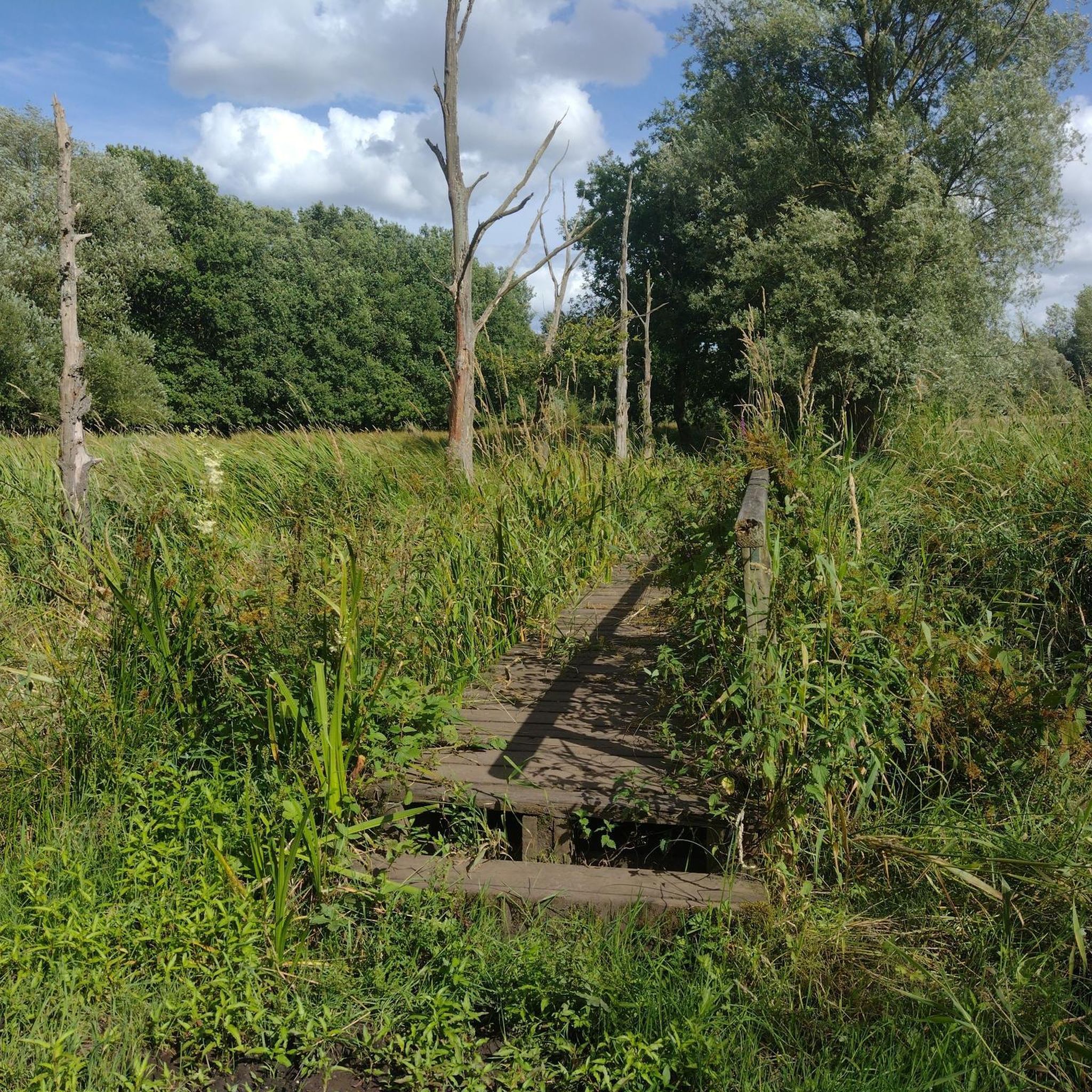
Along the route, there are identical signs everywhere. There are occasional collapses.
0
0
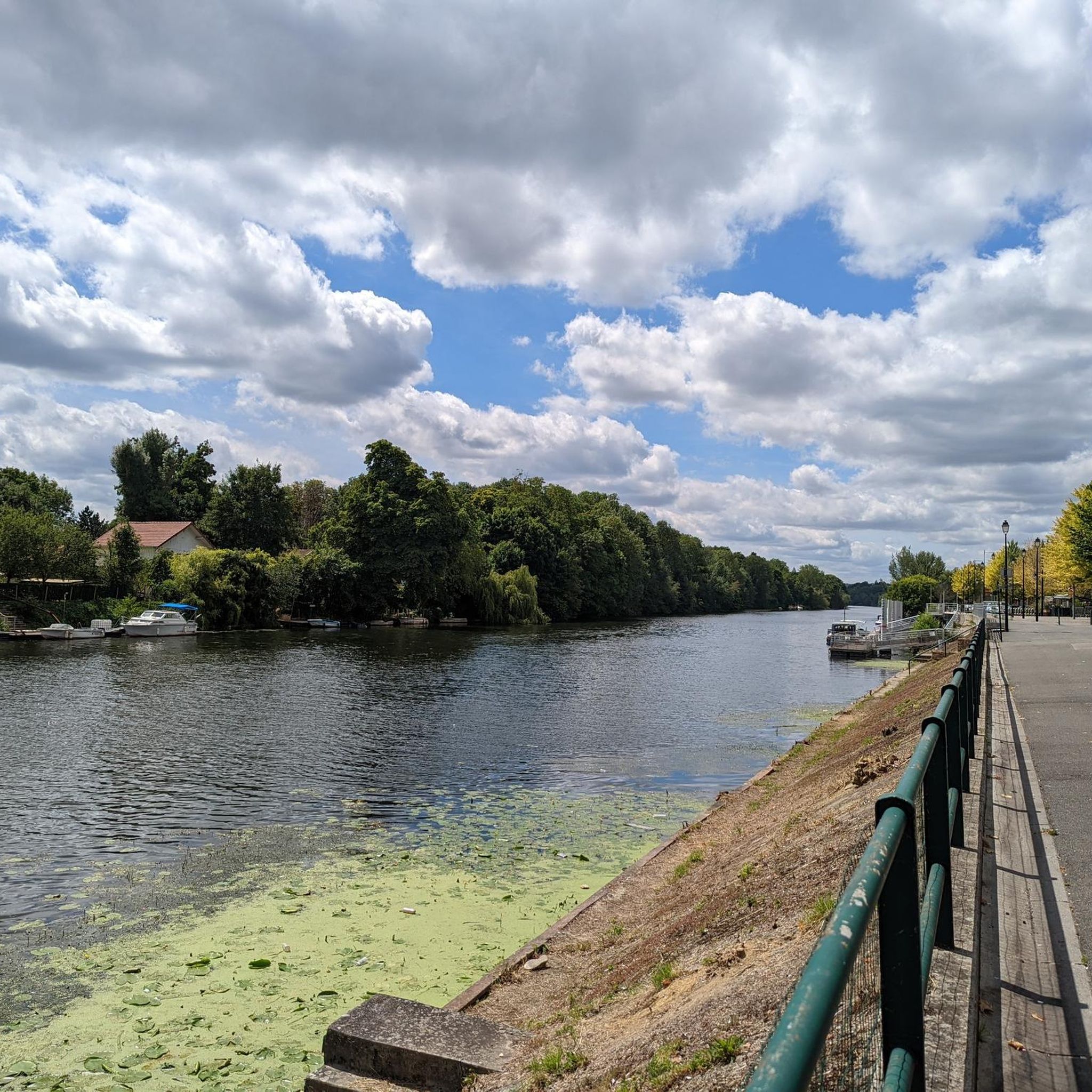
Beautiful walk along the Seine, very peaceful, romantic.
0
0

This remarkable oak, 95cm in diameter, was around 150 years old when it was felled by the storm of 1999. This windthrow was preserved by the managers. (source Val d’Oise Natural Space Department)
0
0
Frequently Asked Questions
How many hiking trails are available in Vaux-Sur-Seine?
There are over 15 hiking trails around Vaux-Sur-Seine, offering a variety of experiences from easy strolls to more challenging routes. The komoot community has explored these trails over 3,600 times.
Are there easy hiking trails suitable for beginners or families?
Yes, Vaux-Sur-Seine offers several easy hiking trails. Approximately half of the routes are classified as easy, making them suitable for beginners or families looking for a relaxed outdoor experience. An example is the Condécourt / Hautil Forest loop from Vaux-sur-Seine, which is an easy 3.9-mile (6.3 km) trail.
Can I find circular hiking routes in Vaux-Sur-Seine?
Many of the hiking routes in Vaux-Sur-Seine are circular, allowing you to start and end at the same point. Popular options include the Hautil Pond – Forêt Domaniale de l'Hautil loop from Vaux-sur-Seine and the Villette Castle – Condécourt washhouse loop from Vaux-sur-Seine.
What kind of scenery can I expect on hikes around Vaux-Sur-Seine?
Hikes around Vaux-Sur-Seine feature diverse scenery, primarily characterized by the dense woodlands of the Forêt Domaniale de l'Hautil and picturesque paths along the Seine river valley. You'll encounter gentle hillsides, open fields, and often historical points of interest.
Are there any historical sites or landmarks to see while hiking?
Yes, the region is rich in history. Many trails pass by notable landmarks. For instance, the Villette Castle – Condécourt washhouse loop from Vaux-sur-Seine takes you past historical sites. You can also explore highlights like the Ruins of Abbecourt Abbey or the Orangery Garden of the Château de Menucourt.
What are the typical durations for hikes in this area?
Hiking durations vary significantly. Easy trails can be completed in under 2 hours, while moderate routes often take 3-5 hours. Longer, more difficult trails, such as the Forêt Domaniale de l'Hautil – Triel-sur-Seine Bridge loop from Vaux-sur-Seine, can take around 6 hours to complete.
Are the trails in Vaux-Sur-Seine suitable for hiking with dogs?
Many trails in the Forêt Domaniale de l'Hautil and along the Seine river are generally dog-friendly, offering ample space for your pet. However, it's always advisable to keep dogs on a leash, especially near wildlife or in agricultural areas, and to check local regulations for specific routes.
Where can I park when hiking in Vaux-Sur-Seine?
Parking is typically available near the starting points of many popular trails, particularly in and around Vaux-Sur-Seine village and at various access points to the Forêt Domaniale de l'Hautil. Look for designated parking areas or roadside spots where permitted.
What is the best time of year to go hiking in Vaux-Sur-Seine?
The region is enjoyable for hiking year-round. Spring brings blooming wildflowers, while autumn offers vibrant foliage in the Forêt Domaniale de l'Hautil. Summer is pleasant for shaded forest walks, and even winter can be beautiful, especially after a light snowfall, though some paths might be muddy.
Are there any routes that pass by water features like ponds or rivers?
Yes, the Seine river valley is a prominent feature of the area, and many routes follow its banks. You can also find trails that pass by ponds, such as the Hautil Pond – Forêt Domaniale de l'Hautil loop from Vaux-sur-Seine. Other notable water features include Corra Pond and the Confluence of the Seine and the Oise.
What do other hikers say about the trails in Vaux-Sur-Seine?
The trails in Vaux-Sur-Seine are highly rated by the komoot community, with an average score of 4.5 stars from over 500 reviews. Hikers often praise the peaceful forest environments, the scenic river views, and the well-maintained paths that cater to various fitness levels.
Are there any challenging hikes for experienced hikers?
Yes, for experienced hikers seeking a challenge, there are more difficult routes available. The Forêt Domaniale de l'Hautil – Triel-sur-Seine Bridge loop from Vaux-sur-Seine is a difficult 13.6-mile (21.9 km) trail with significant elevation changes, offering a rewarding experience through dense woodlands and along the river.
Most popular routes around Vaux-Sur-Seine
Most popular attractions around Vaux-Sur-Seine

Get inspired with the komoot mobile app


Explore more
Browse the best Hikes in other regions.
